Elevation of San Francisco, Quezon, Philippines
Location: Philippines > Calabarzon > Quezon >
Longitude: 122.520188
Latitude: 13.3470576
Elevation: 8m / 26feet
Barometric Pressure: 101KPa
Elevation Map:
Satellite Map:
Related Photos:
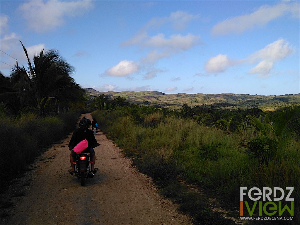
Knight Spectra Images
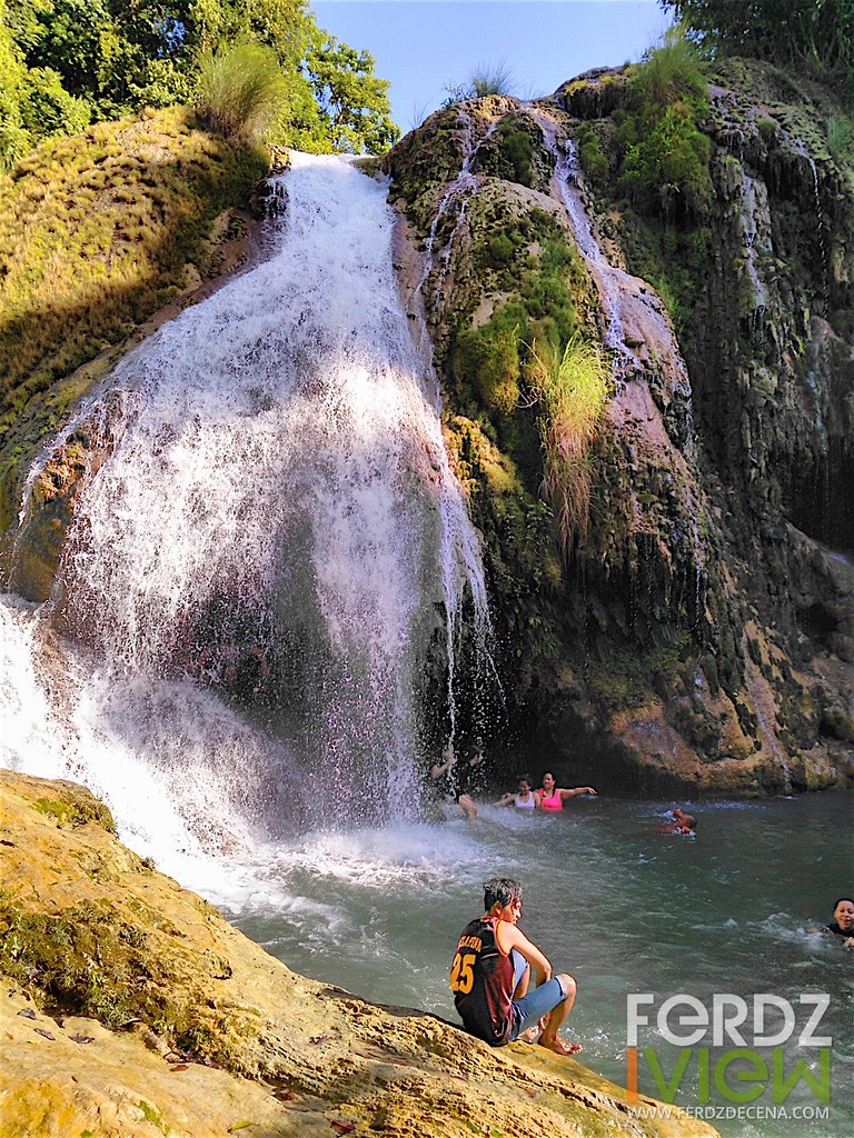
Knight Spectra Images
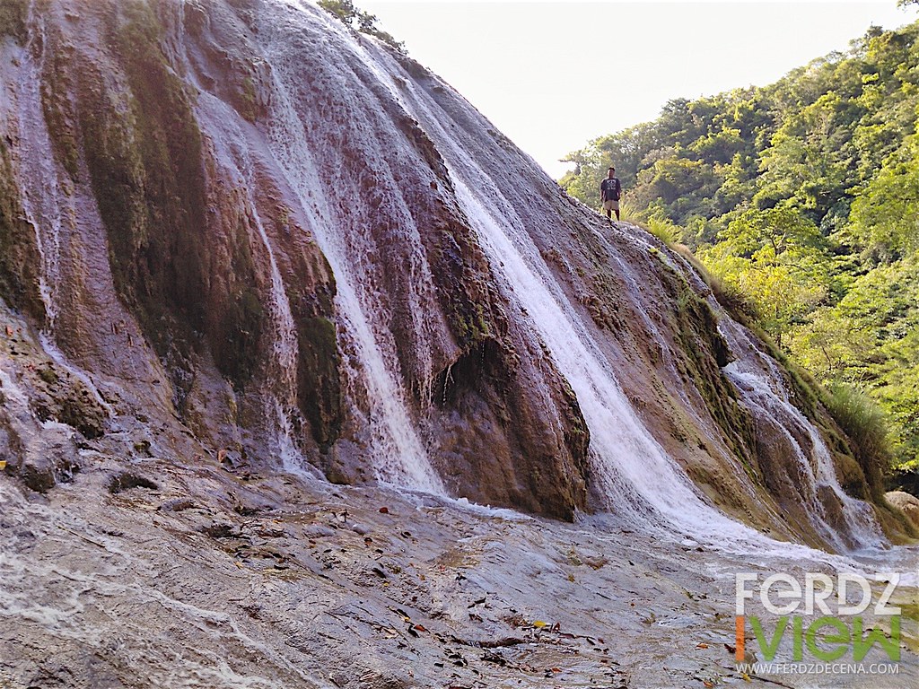
Knight Spectra Images
Topographic Map of San Francisco, Quezon, Philippines
Find elevation by address:

Places near San Francisco, Quezon, Philippines:
Buenavista
Community Center Barangay Cadlit
Guinayangan
Caranan
Caranan South Elementary School
Pasacao Port To Burias Island
Polytechnic University Of The Philippines, Ragay, Camarines Sur Branch
Pasacao
Macad Elementary School
Ragay
Libmanan
Maulawin Spring Protected Landscape
Bagamelon
San Isidro
San Isidro Elementary School
St. Anthony Of Padua Parish
Pamplona
Bagacay
Del Gallego
San Vicente Road
Recent Searches:
- Elevation of Corso Fratelli Cairoli, 35, Macerata MC, Italy
- Elevation of Tallevast Rd, Sarasota, FL, USA
- Elevation of 4th St E, Sonoma, CA, USA
- Elevation of Black Hollow Rd, Pennsdale, PA, USA
- Elevation of Oakland Ave, Williamsport, PA, USA
- Elevation of Pedrógão Grande, Portugal
- Elevation of Klee Dr, Martinsburg, WV, USA
- Elevation of Via Roma, Pieranica CR, Italy
- Elevation of Tavkvetili Mountain, Georgia
- Elevation of Hartfords Bluff Cir, Mt Pleasant, SC, USA