Elevation of San Carlos, Panama
Location: Panama > Panama >
Longitude: -80.031136
Latitude: 8.5095659
Elevation: 167m / 548feet
Barometric Pressure: 99KPa
Elevation Map:
Satellite Map:
Related Photos:
El Valle de Antón

Best seat in the house

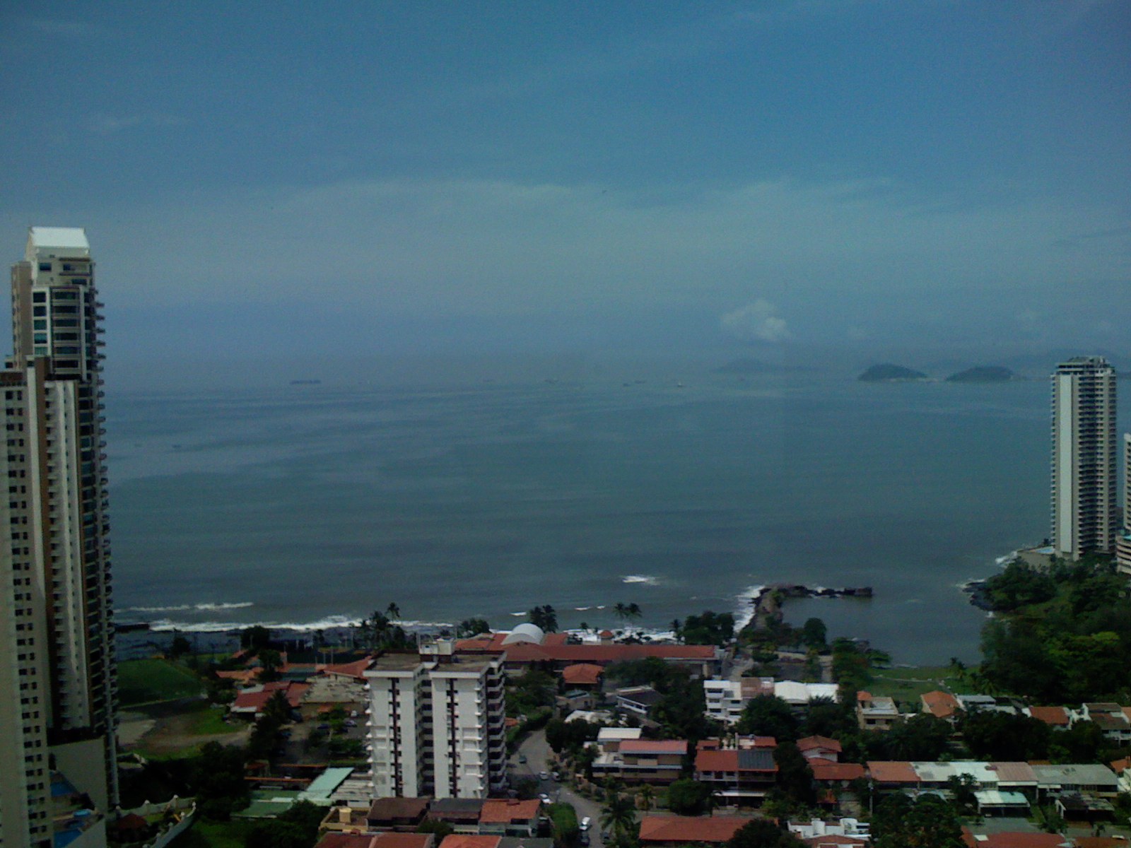
The View

Laguna de San Carlos | Panamá
view from the inside

Wonderful zoo & views! #WPphoto

reading sofa and ocean view

Las Piedras pintadas are Located in the northwestern corner of the valley, La Piedra Pintada is a huge boulder adorned with pre-Columbian carvings. Locals often fill in the grooves of the petroglyphs with chalk to facilitate their viewing. However, the me

PB140347.jpg
view from one of our rooms
Living room View

Pacific sunset
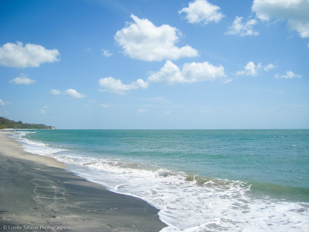
Take me to the ocean

Bromeliads in the sunset

Night Swim

River Deep, Mountain High Jul 5, 2013 10-38 AM

Ain't No Mountain High Enough Jul 5, 2013 10-38 AM

Reach Out and Touch Jul 5, 2013 10-39 AM
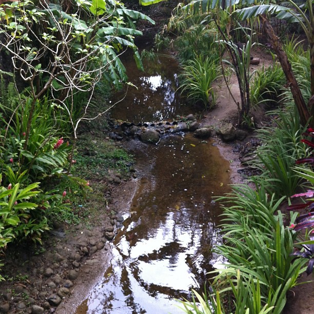
Un petit ruisseau dont le flot m'endort

El cielo en la tierra 2
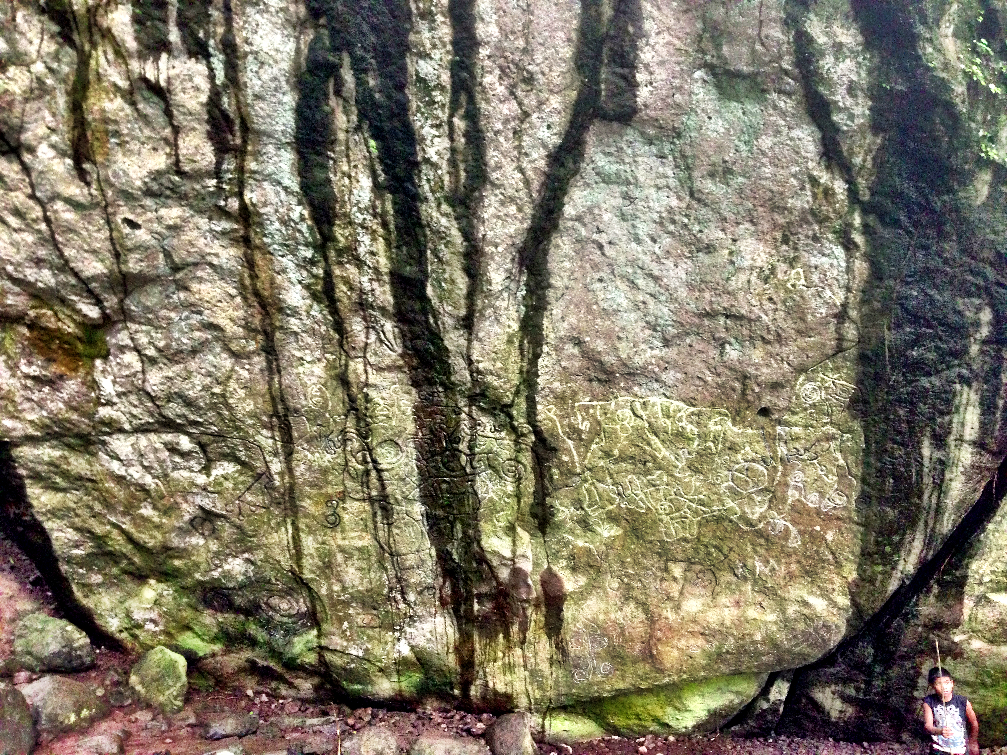
Petroglyphs Jul 5, 2013 2-43 PM

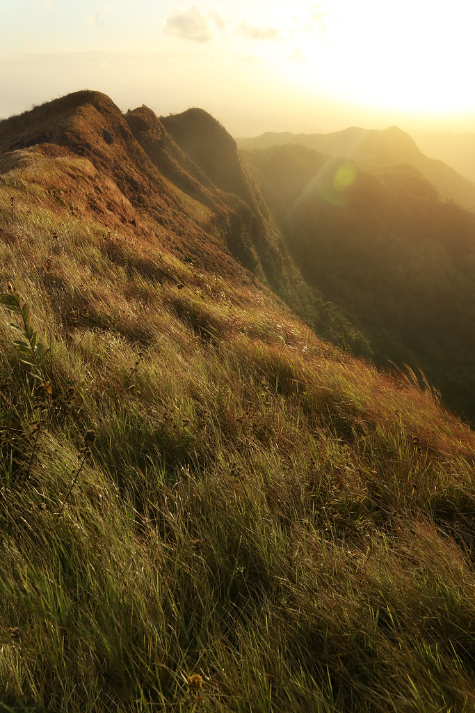
Sendero de la Cruz #panama #amopanama #sun #picoftheday #mipanama #landscape #landscapelover #loves_panama #panamapictures #igpanama #ig_panama #igerspty #igers_pty #ptyphotography #pty #igworldclub

Petroglyphs Jul 5, 2013 2-42 PM

High tide

vitto running on the beach

Conostegia Flowers

early morning surf

Sora Mountains. Exploring

Petroglyphs Jul 5, 2013 2-044

Todo cambia / everything changes
Topographic Map of San Carlos, Panama
Find elevation by address:

Places in San Carlos, Panama:
Places near San Carlos, Panama:
Copecito
Altos Del Maria
Anton Valley
Chame District
Chame
Unnamed Road
Campana
Cerro Trinidad
Panamá Oeste
Cermeno
Capira District
Santa Rosa, Panamá Oeste
La Chorrera
Veracruz
Nuevo Emperador
Arraijan
Arraiján
Panama Pacifico
Balboa Yacht Club
Amador
Recent Searches:
- Elevation of Corso Fratelli Cairoli, 35, Macerata MC, Italy
- Elevation of Tallevast Rd, Sarasota, FL, USA
- Elevation of 4th St E, Sonoma, CA, USA
- Elevation of Black Hollow Rd, Pennsdale, PA, USA
- Elevation of Oakland Ave, Williamsport, PA, USA
- Elevation of Pedrógão Grande, Portugal
- Elevation of Klee Dr, Martinsburg, WV, USA
- Elevation of Via Roma, Pieranica CR, Italy
- Elevation of Tavkvetili Mountain, Georgia
- Elevation of Hartfords Bluff Cir, Mt Pleasant, SC, USA