Elevation of San Andrés Cuexcontitlán, Méx., Mexico
Location: Mexico > State Of Mexico >
Longitude: -99.624715
Latitude: 19.3554887
Elevation: 2599m / 8527feet
Barometric Pressure: 74KPa
Related Photos:
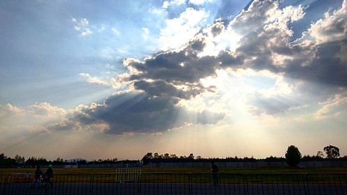
And while you wait in line to get a drink... #skyline #sky #skylovers #skyporn #clouds #cloudlovers #cloudporn #cloudy #cloud #light #rayoflight #rayofsunshine #raysoflight #raysofsun #mexico #musicfestival #musicfest #ceremonia16 #centrodinamicopegaso

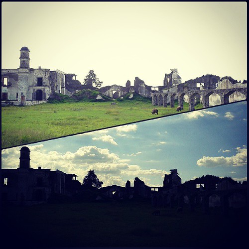
Otra fotito de las ruinas en la Alameda norte :) #Photography #Photo #Foto #fotografia #nature #naturaleza #ruins #ruinas #cielo #sky #clouds #nubes jeje
Topographic Map of San Andrés Cuexcontitlán, Méx., Mexico
Find elevation by address:

Places in San Andrés Cuexcontitlán, Méx., Mexico:
Places near San Andrés Cuexcontitlán, Méx., Mexico:
San Andrés Cuexcontitlán Sección 2
Natividad 9, San Andrés Cuexcontitlán Secc 2, San Andres Cuexcontitlan Secc 2, San Andrés Cuexcontitlán, Méx., Mexico
San Andres Cuexcontitlan Sección 2
San José Guadalupe
De Las Flores, Conj U los Sauces II, San Nicolás Tolentino, Méx., Mexico
Conj U Los Sauces Ii
5 de Mayo 16, Delegación San Lorenzo Tepaltitlán I, Delegación San Lorenzo Tepaltitlán, Toluca de Lerdo, Méx., Mexico
Delegación Santa Ana Tlapaltitlán
Ignacio Allende 24, Delegación Sta Ana Tlapaltitlán, Toluca de Lerdo, Méx., Mexico
Toluca
Toluca
H16
San Martín Toltepec
Las Marinas
Calle Corales 2, Las Marinas, Metepec, Méx., Mexico
Lago Ontario, El Seminario Primera Secc, Toluca de Lerdo, Méx., Mexico
Metepec
Calle Miguel Hidalgo, Espiritu Santo, Metepec, Méx., Mexico
Isidro Fabela
Mártires 2, Xonacatlan de Vicencio, Xonacatlán, Méx., Mexico
Recent Searches:
- Elevation of Corso Fratelli Cairoli, 35, Macerata MC, Italy
- Elevation of Tallevast Rd, Sarasota, FL, USA
- Elevation of 4th St E, Sonoma, CA, USA
- Elevation of Black Hollow Rd, Pennsdale, PA, USA
- Elevation of Oakland Ave, Williamsport, PA, USA
- Elevation of Pedrógão Grande, Portugal
- Elevation of Klee Dr, Martinsburg, WV, USA
- Elevation of Via Roma, Pieranica CR, Italy
- Elevation of Tavkvetili Mountain, Georgia
- Elevation of Hartfords Bluff Cir, Mt Pleasant, SC, USA


