Elevation of Sams Gap, Tennessee, USA
Location: United States > Tennessee > Unicoi County > Flag Pond >
Longitude: -82.560415
Latitude: 35.9548299
Elevation: 1147m / 3763feet
Barometric Pressure: 88KPa
Elevation Map:
Satellite Map:
Related Photos:

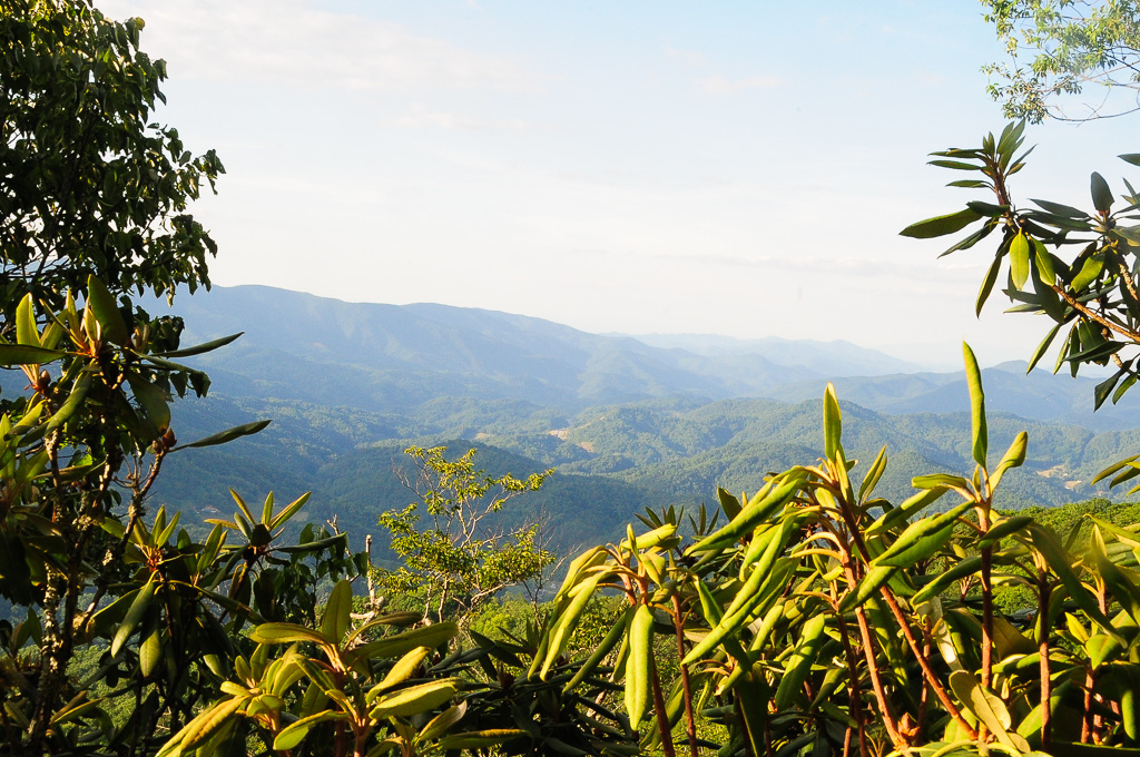
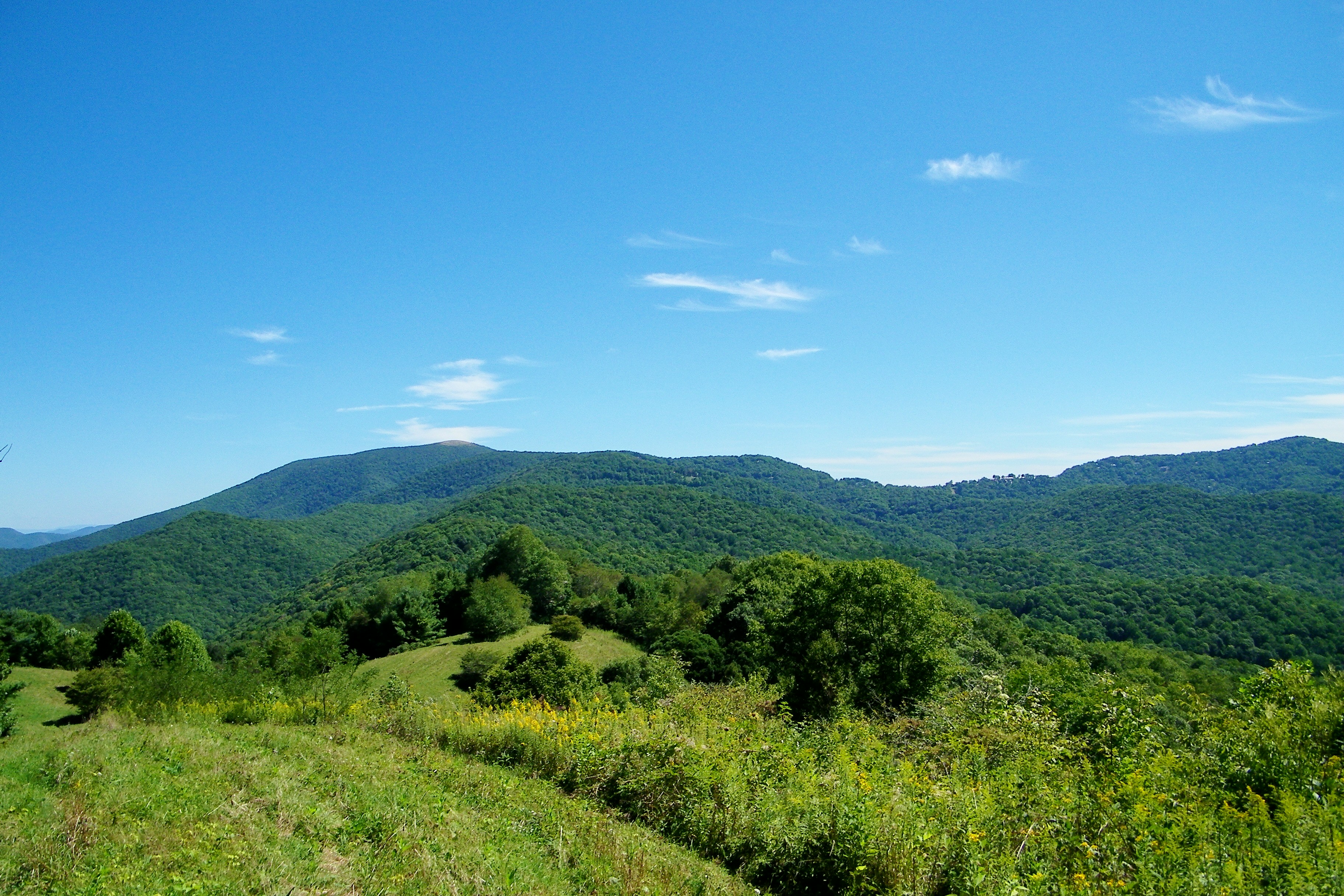
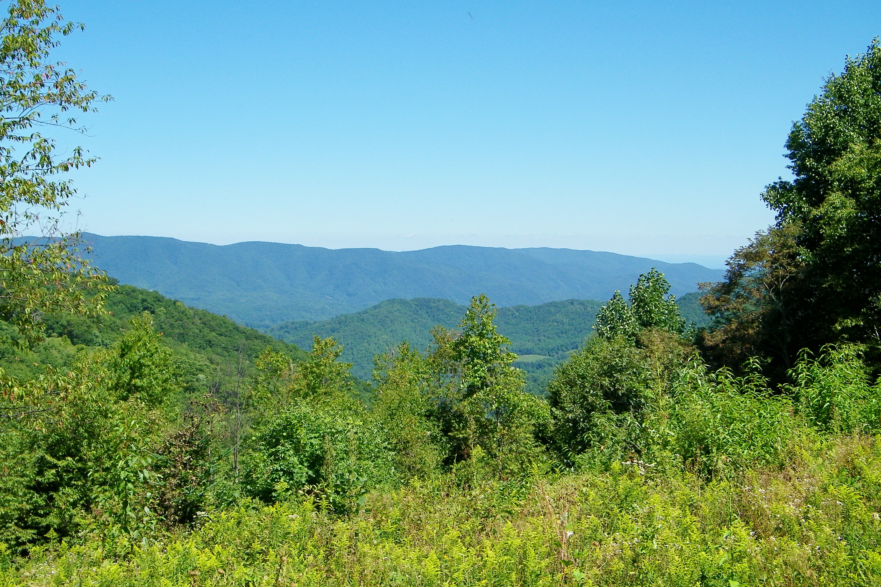
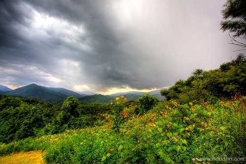
A mountain view
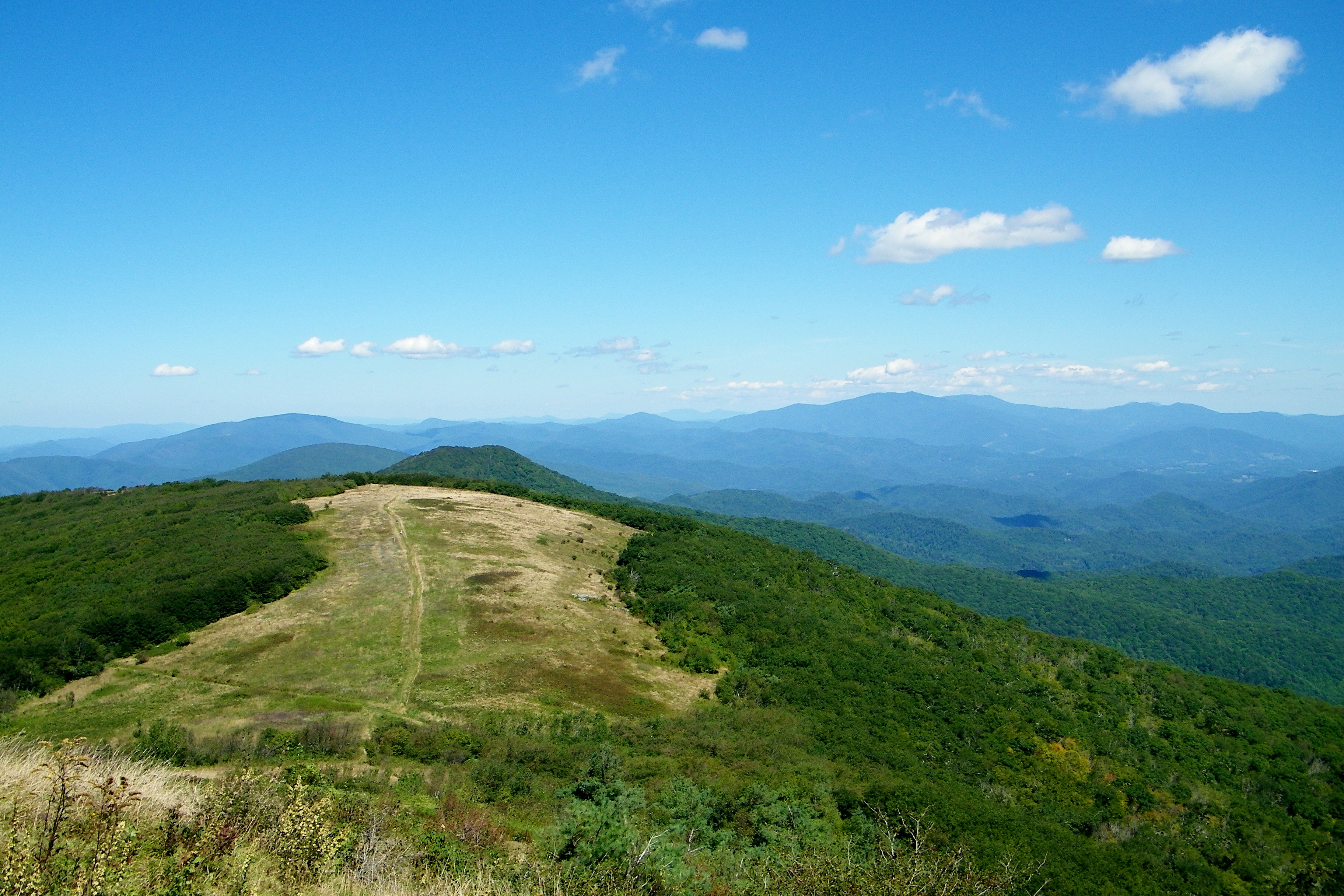
View from W4T/SU-024 - High Rock
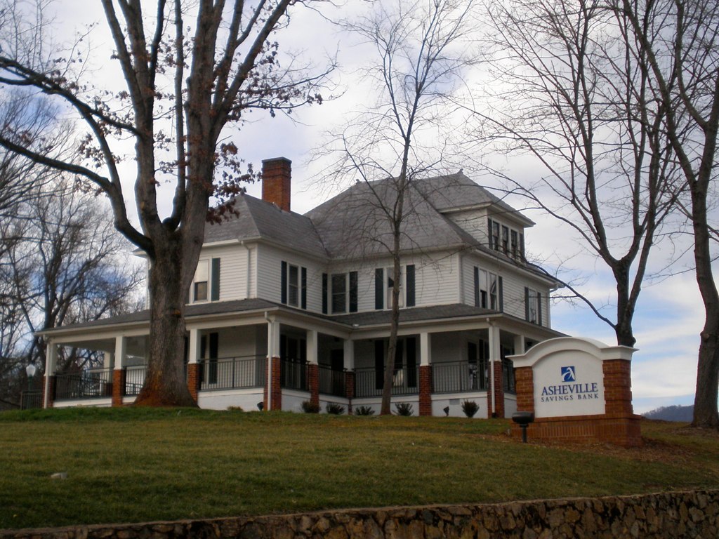
The Bank

Evening light at Scenic Wolf

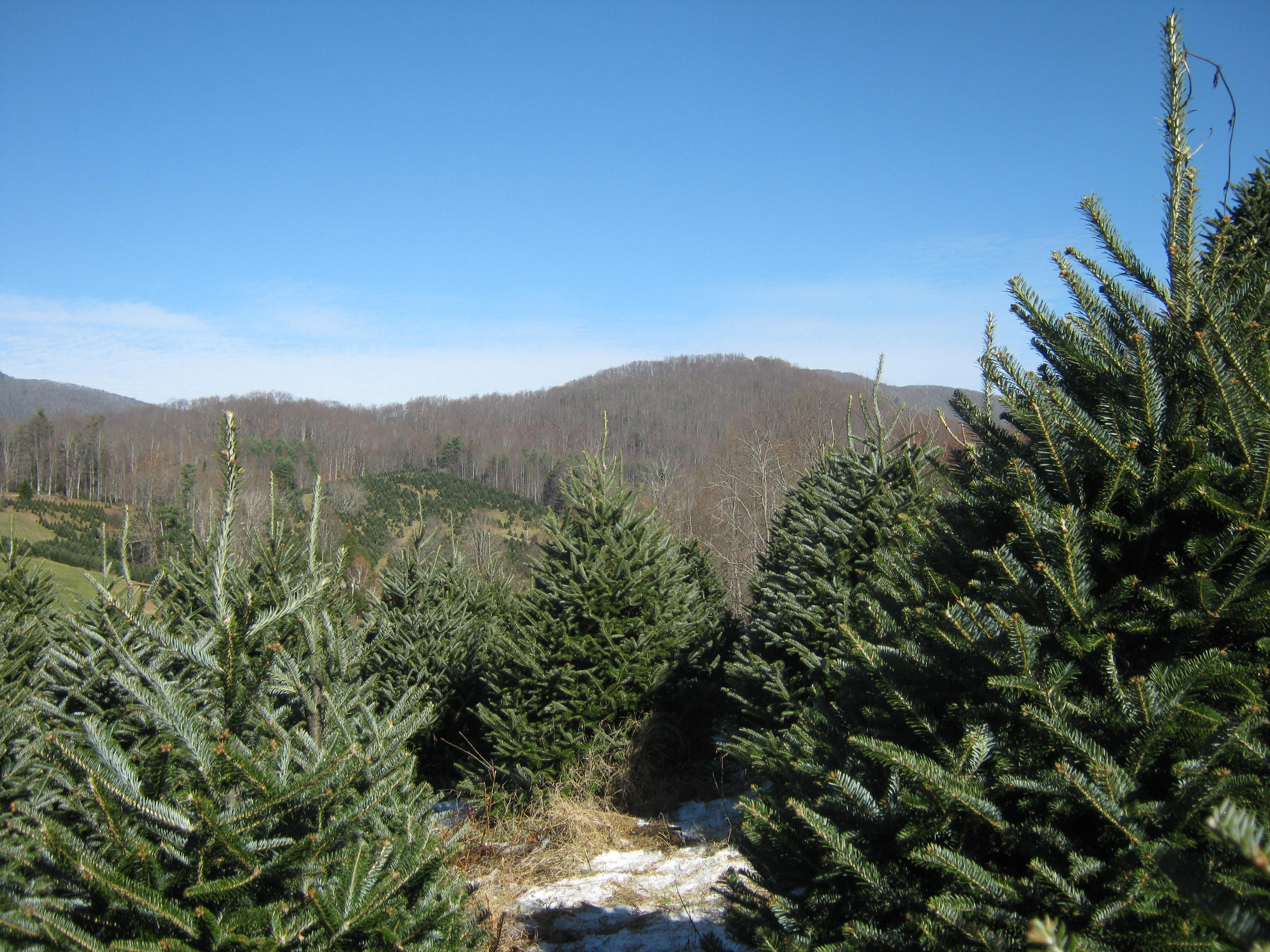
Big Butt - Cold Spring Mountain

Big Butt - Cold Spring Mountain
Big Butt - Cold Spring Mountain
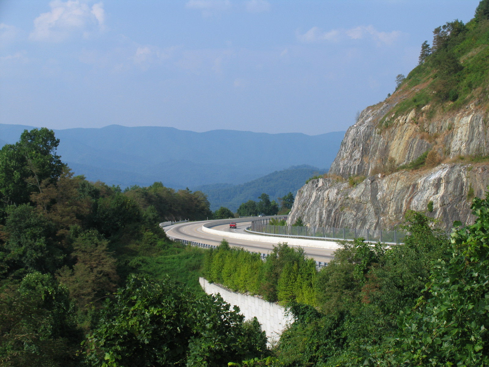
I-26 West view
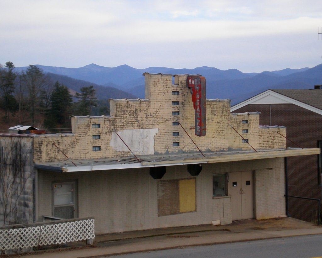
Mars Theatre

View from W4T/SU-024 - High Rock
Appalachian Trail

...

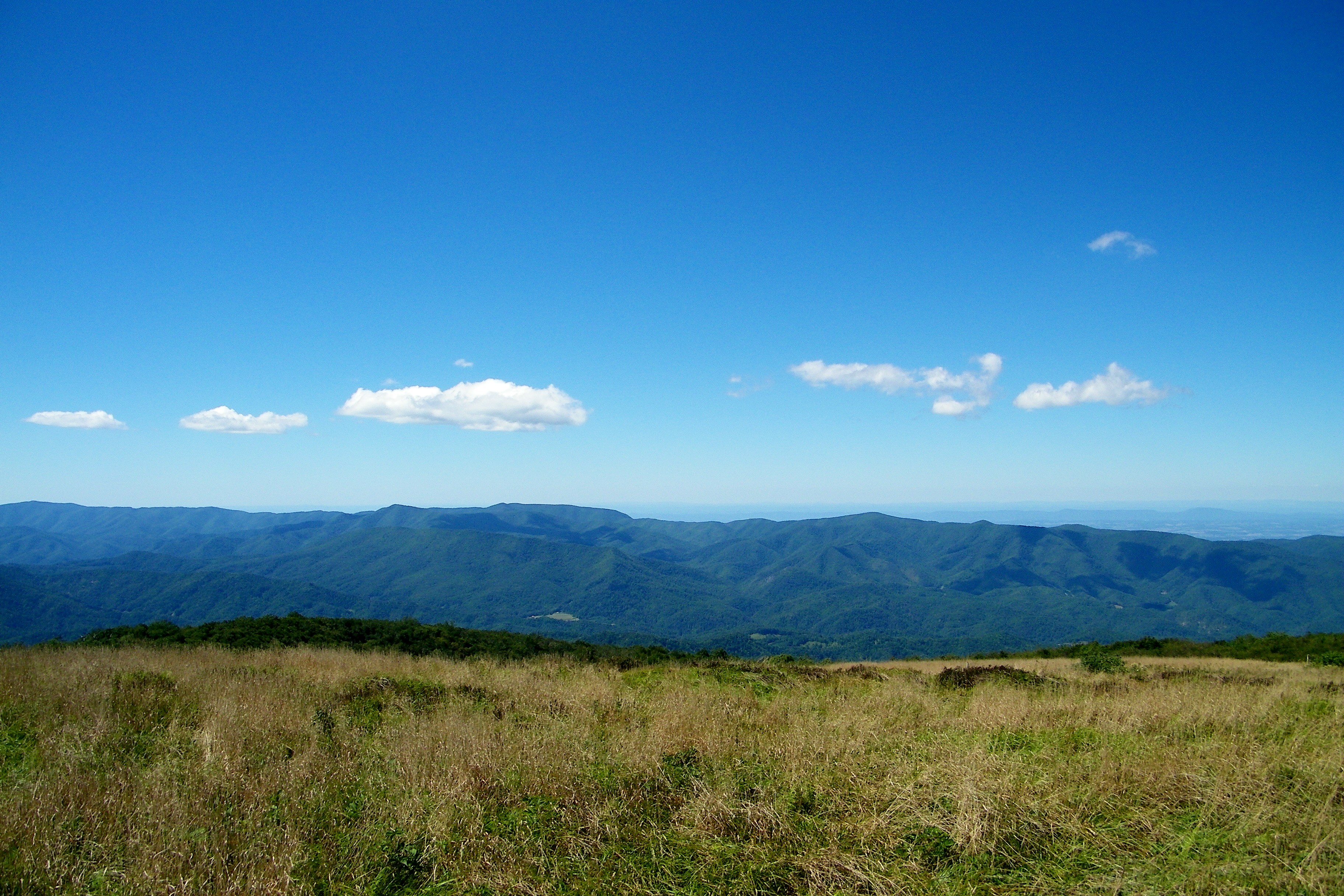
Bald Mountain
Bald Mountain
Bald Mountain

Scenic Wolf Cabin
Appalachian Trail
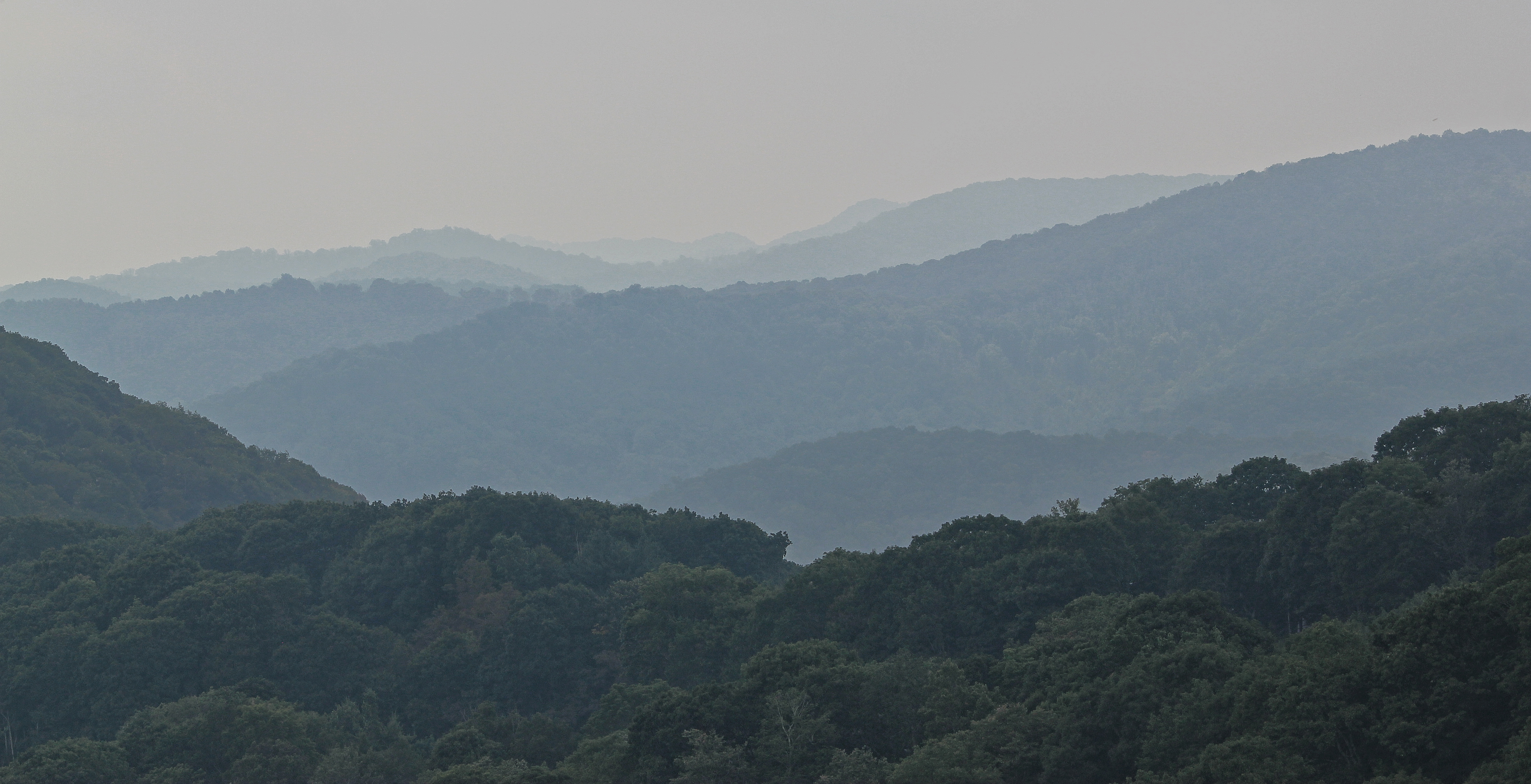
Mountain Layers
View From our Tree

I-26 from AT at Streets Gap

I-26 from the Overlook
The light fades so quickly here at the farm in the winter. Soft light through bare trees, and peace. #nature #appalachia #riversongmountainsanctuary #wildkatuahhealingarts
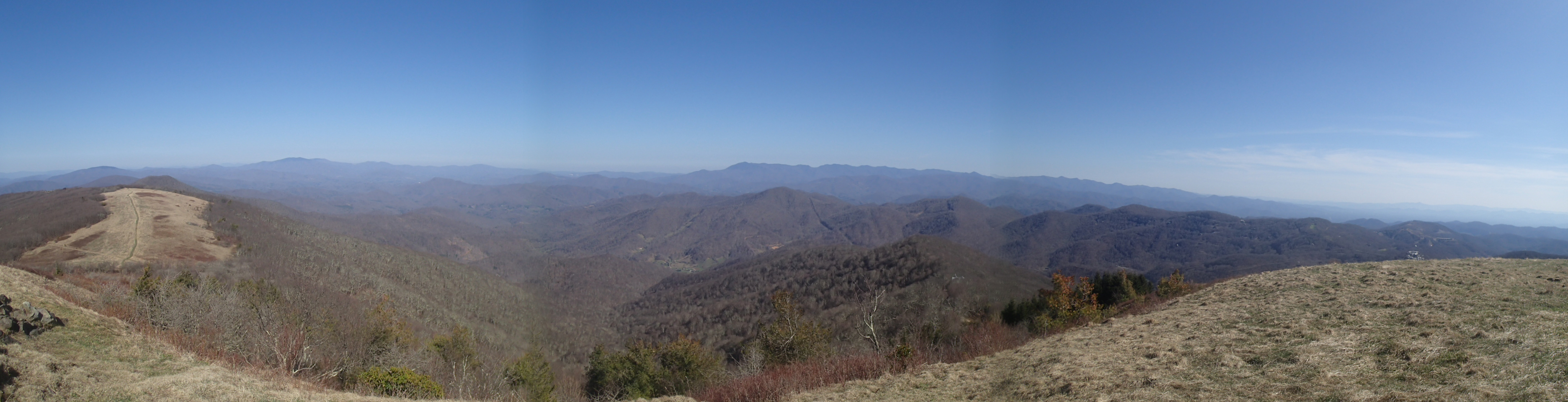
Bald Mountains Panorama 1 2014-1102
2014-10-12 20.54.37

Rocky Fork
Fence contraption version 1

Cabin in the Woods - Selective Colorization
Eastern Tennessee
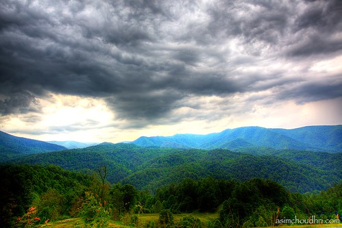
storm front moving over the blue ridge mountains...

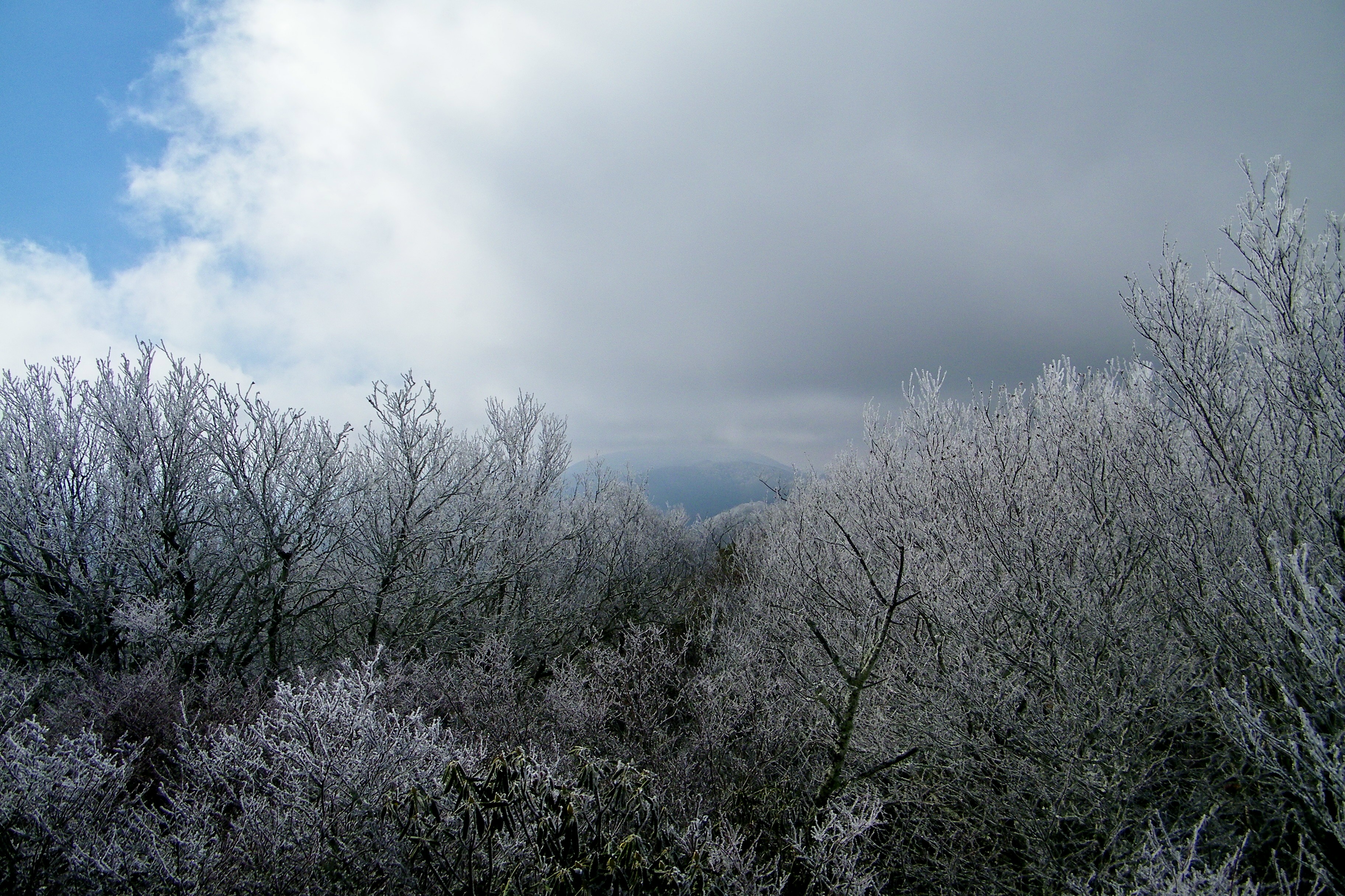
Light dusting.
Autumn Frosting. . .
smoky mountain sunset...

Stone Moss
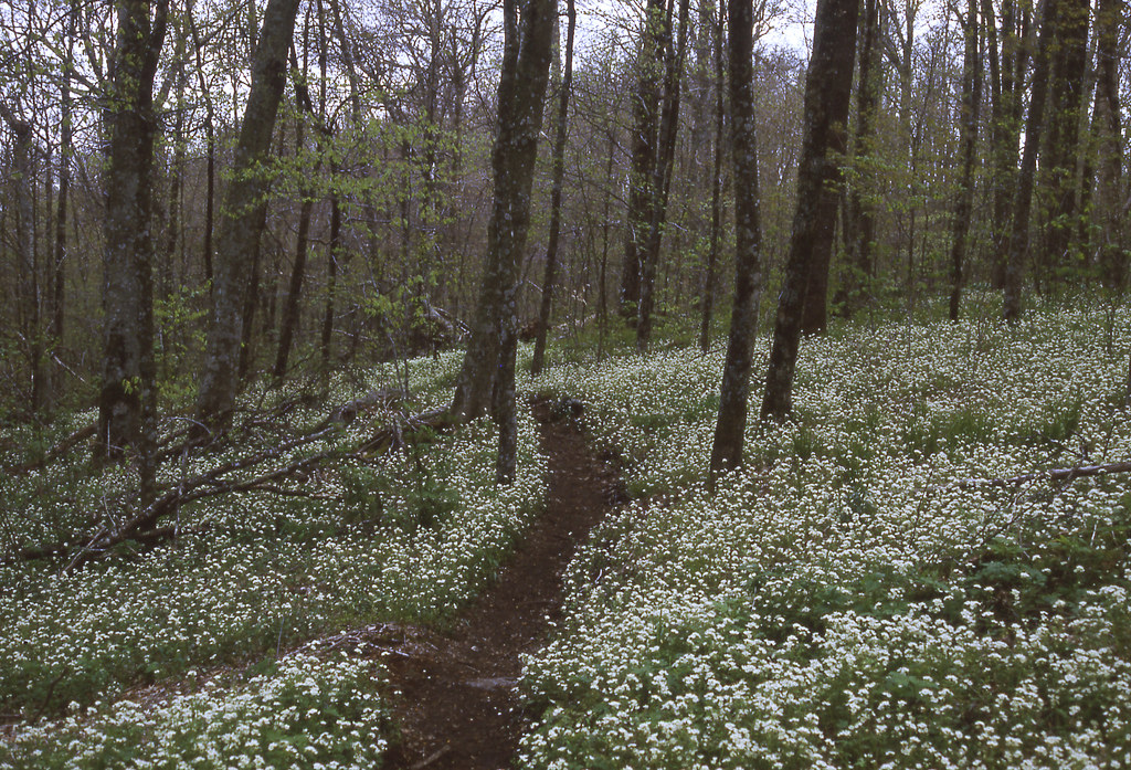
Carpet of fringed phacelia
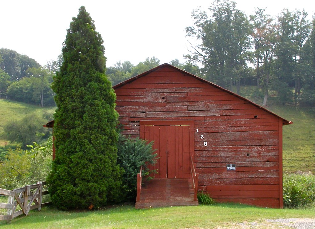
Red Barn with Tree
P4179000.JPG
DSC_0055.jpg

Abandonded Forest Service Road in IR
DSC_0036.jpg
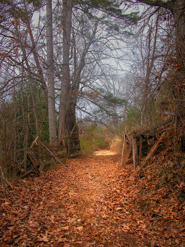
The road silent
Topographic Map of Sams Gap, Tennessee, USA
Find elevation by address:

Places near Sams Gap, Tennessee, USA:
4966 Old Asheville Hwy
840 Smith Creek Rd
280 Fox Cove Rd
Carver Rd, Flag Pond, TN, USA
133 Smith Creek Rd
2484 Smith Creek Rd
1 Haw View Dr
Cash Phillips Drive
Haw View Drive
Smith Creek Rd, Mars Hill, NC, USA
27 Black Bear Dr
Bob Hardin Road
13 Wolf Laurel Rd
2900 Puncheon Fork Rd
Right Higgins Creek Road
7, Ebbs Chapel
262 Horned Owl Ln
262 Horned Owl Ln
262 Horned Owl Ln
20 Roaring Fork Rd
Recent Searches:
- Elevation of Corso Fratelli Cairoli, 35, Macerata MC, Italy
- Elevation of Tallevast Rd, Sarasota, FL, USA
- Elevation of 4th St E, Sonoma, CA, USA
- Elevation of Black Hollow Rd, Pennsdale, PA, USA
- Elevation of Oakland Ave, Williamsport, PA, USA
- Elevation of Pedrógão Grande, Portugal
- Elevation of Klee Dr, Martinsburg, WV, USA
- Elevation of Via Roma, Pieranica CR, Italy
- Elevation of Tavkvetili Mountain, Georgia
- Elevation of Hartfords Bluff Cir, Mt Pleasant, SC, USA