Elevation map of Samoa
Longitude: -172.10462
Latitude: -13.759029
Elevation: -131m / -430feet
Barometric Pressure: 103KPa
Elevation Map:
Satellite Map:
Related Photos:
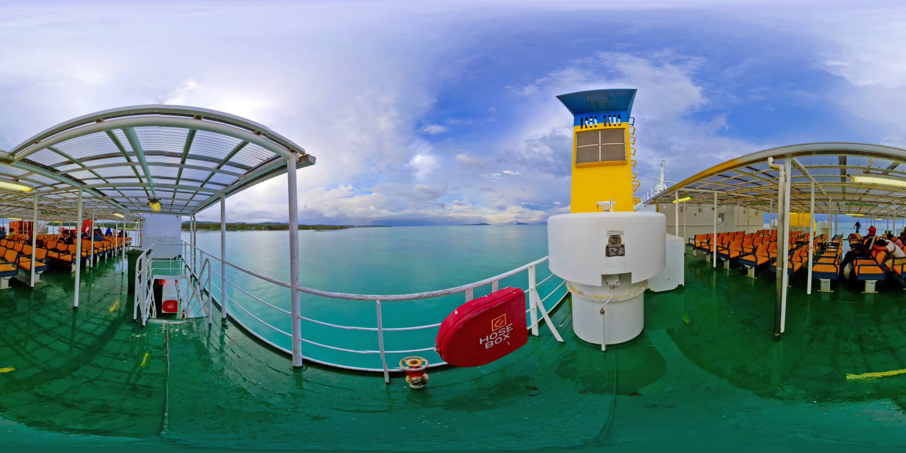
Take the virtual ferry from Upolu to visit the beautiful beaches of Savaii - link in description

View towards Savai'i

Lano Beach
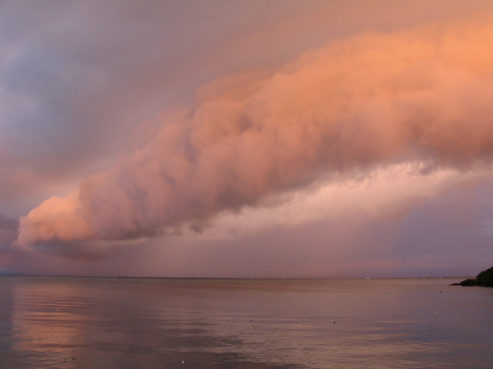
Sunset in Savaii

Lagoon View

The Beach

2014-08-19_16-45-35

Apia Overcast

2014-08-22_12-27-49

2014-08-22_12-37-51

2014-08-22_10-20-39

2014-08-22_12-35-07

2014-08-22_10-20-43
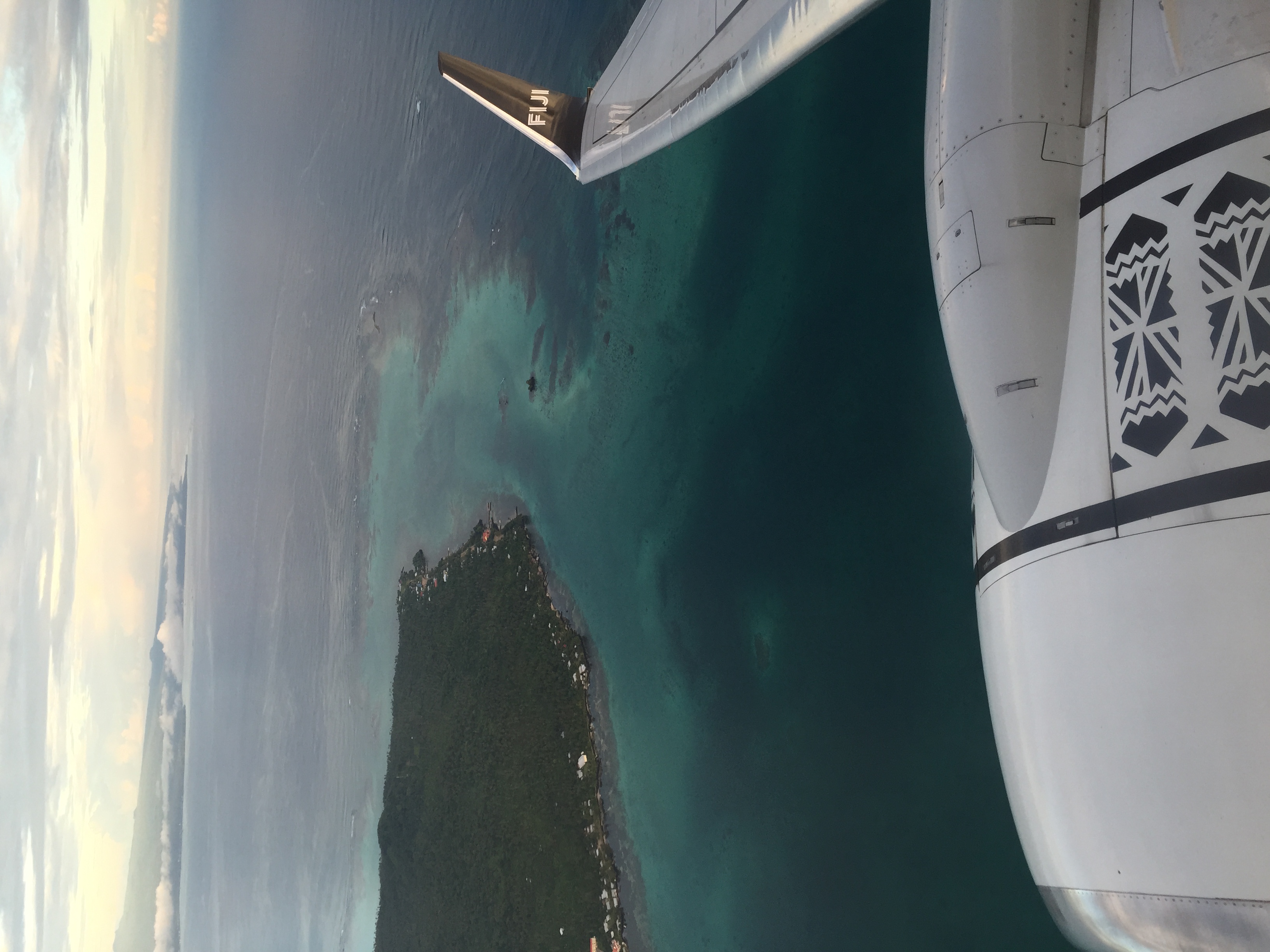
Fiji. First time visit by Fiji airways
Topographic Map of Samoa
Find elevation by address:

Places in Samoa:
Places near Samoa:
Tafua Rainforest Preserve
Tuamasaga
Gaga'emauga
Savai'i
Mount Vaea
Palauli
Apia
Upolu
Silisili
Saleiá Bridge
Gaga'ifomauga
Recent Searches:
- Elevation of Corso Fratelli Cairoli, 35, Macerata MC, Italy
- Elevation of Tallevast Rd, Sarasota, FL, USA
- Elevation of 4th St E, Sonoma, CA, USA
- Elevation of Black Hollow Rd, Pennsdale, PA, USA
- Elevation of Oakland Ave, Williamsport, PA, USA
- Elevation of Pedrógão Grande, Portugal
- Elevation of Klee Dr, Martinsburg, WV, USA
- Elevation of Via Roma, Pieranica CR, Italy
- Elevation of Tavkvetili Mountain, Georgia
- Elevation of Hartfords Bluff Cir, Mt Pleasant, SC, USA