Elevation of Samarra, Iraq
Location: Iraq > Saladin Governorate > Samarra >
Longitude: 43.9055155
Latitude: 34.1660043
Elevation: -10000m / -32808feet
Barometric Pressure: 295KPa
Elevation Map:
Satellite Map:
Related Photos:

The Minaret of al-Malwiya

Samarra archaeological

Great Samarra Mosque

Great Samarra Mosque
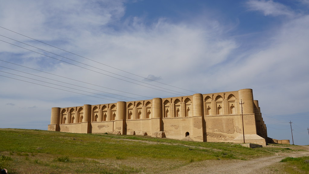
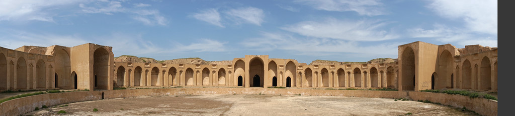
Al Ashiq Palace

Al Ashiq Palace

Al Ashiq Palace

Al Ashiq Palace

Al Ashiq Palace
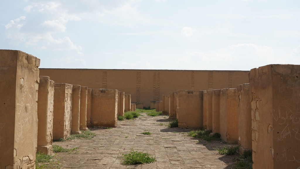
Al Ashiq Palace

Al Ashiq Palace

Al Ashiq Palace

Al Ashiq Palace

Al Ashiq Palace

Al Ashiq Palace

Al Ashiq Palace

Al Ashiq Palace
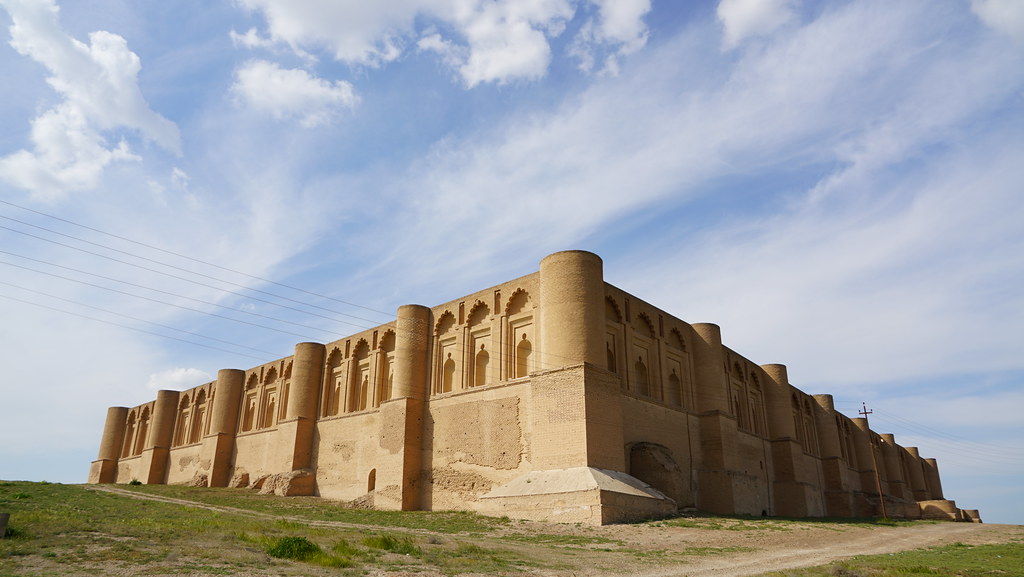
Al Ashiq Palace

Al Khalifa Palace

Al Khalifa Palace

Al Khalifa Palace
Al Khalifa Palace

Al Khalifa Palace
Topographic Map of Samarra, Iraq
Find elevation by address:

Places near Samarra, Iraq:
Recent Searches:
- Elevation of Corso Fratelli Cairoli, 35, Macerata MC, Italy
- Elevation of Tallevast Rd, Sarasota, FL, USA
- Elevation of 4th St E, Sonoma, CA, USA
- Elevation of Black Hollow Rd, Pennsdale, PA, USA
- Elevation of Oakland Ave, Williamsport, PA, USA
- Elevation of Pedrógão Grande, Portugal
- Elevation of Klee Dr, Martinsburg, WV, USA
- Elevation of Via Roma, Pieranica CR, Italy
- Elevation of Tavkvetili Mountain, Georgia
- Elevation of Hartfords Bluff Cir, Mt Pleasant, SC, USA