Elevation of Salta, Salta Province, Argentina
Location: Argentina > Salta Province > Capital Department >
Longitude: -65.423197
Latitude: -24.782126
Elevation: 1296m / 4252feet
Barometric Pressure: 87KPa
Elevation Map:
Satellite Map:
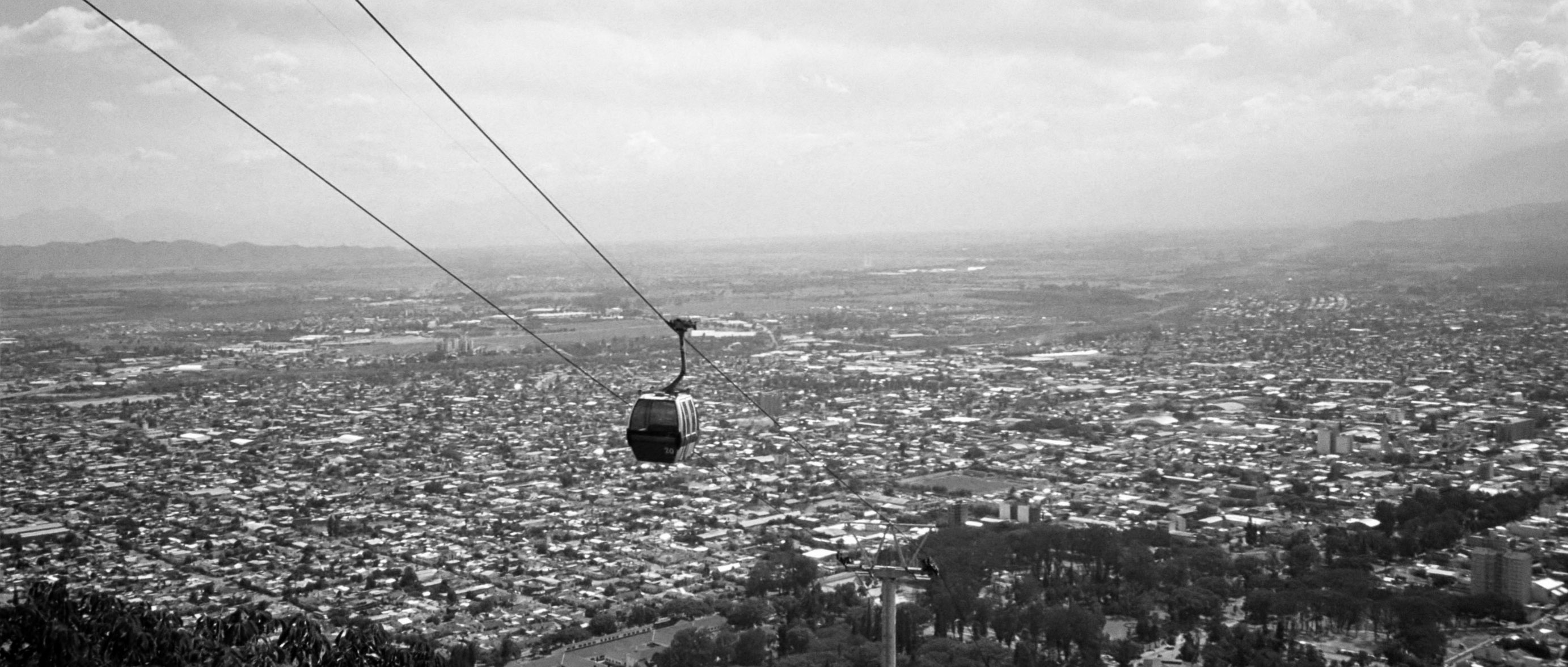
Related Photos:
Swiss Made
Topographic Map of Salta, Salta Province, Argentina
Find elevation by address:

Places in Salta, Salta Province, Argentina:
Places near Salta, Salta Province, Argentina:
Caseros, Salta, Argentina
Salta Province
Ingeniero Maury
Las Cuevas
Estadio Padre Ernesto Martearena
La Caldera
Capital Department
La Caldera Department
Piedras Moradas
Puerta Tastil
Cuesta Del Obispo
Rosario De Lerma Department
Jujuy
Jujuy
Santa Rosa De Tastil
Yala
Los Cardones National Park
Nevado De Chañi
Cachinal
Recent Searches:
- Elevation of Corso Fratelli Cairoli, 35, Macerata MC, Italy
- Elevation of Tallevast Rd, Sarasota, FL, USA
- Elevation of 4th St E, Sonoma, CA, USA
- Elevation of Black Hollow Rd, Pennsdale, PA, USA
- Elevation of Oakland Ave, Williamsport, PA, USA
- Elevation of Pedrógão Grande, Portugal
- Elevation of Klee Dr, Martinsburg, WV, USA
- Elevation of Via Roma, Pieranica CR, Italy
- Elevation of Tavkvetili Mountain, Georgia
- Elevation of Hartfords Bluff Cir, Mt Pleasant, SC, USA