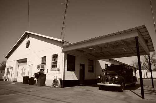
Elevation of Salmon, TX, USA
Location: United States > Texas > Anderson County >
Longitude: -95.498284
Latitude: 31.5729542
Elevation: 154m / 505feet
Barometric Pressure: 99KPa
Related Photos:
Topographic Map of Salmon, TX, USA
Find elevation by address:

Places near Salmon, TX, USA:
1800 County Rd 2345
510 Redbud St
505 Redbud St
Grapeland
Elkhart
W Parker St, Elkhart, TX, USA
FM, Grapeland, TX, USA
County Rd, Grapeland, TX, USA
FM, Grapeland, TX, USA
1108 Co Rd 2180
1374 Fm2419
County Rd, Palestine, TX, USA
US-84, Palestine, TX, USA
1335 Acr 150
240 Acr 391
4888 Co Rd 2125
733 Old Latexo Rd
FM, Crockett, TX, USA
4472 E Us Hwy 84
County Road 2135
Recent Searches:
- Elevation of Corso Fratelli Cairoli, 35, Macerata MC, Italy
- Elevation of Tallevast Rd, Sarasota, FL, USA
- Elevation of 4th St E, Sonoma, CA, USA
- Elevation of Black Hollow Rd, Pennsdale, PA, USA
- Elevation of Oakland Ave, Williamsport, PA, USA
- Elevation of Pedrógão Grande, Portugal
- Elevation of Klee Dr, Martinsburg, WV, USA
- Elevation of Via Roma, Pieranica CR, Italy
- Elevation of Tavkvetili Mountain, Georgia
- Elevation of Hartfords Bluff Cir, Mt Pleasant, SC, USA


