Elevation of Sallisaw, OK, USA
Location: United States > Oklahoma > Sequoyah County >
Longitude: -94.787446
Latitude: 35.4603711
Elevation: 161m / 528feet
Barometric Pressure: 99KPa
Elevation Map:
Satellite Map:
Related Photos:

Ho Scale Prototype Substation
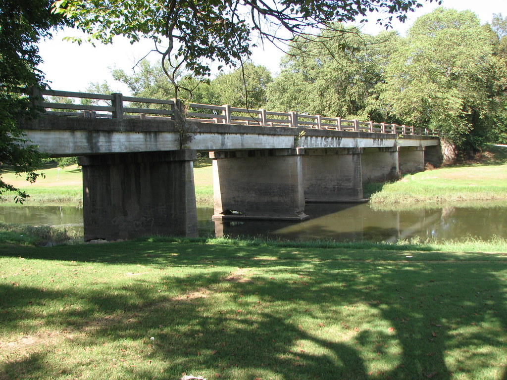
Big Sallisaw Creek-Side View
Little Sallisaw Creek-Side View
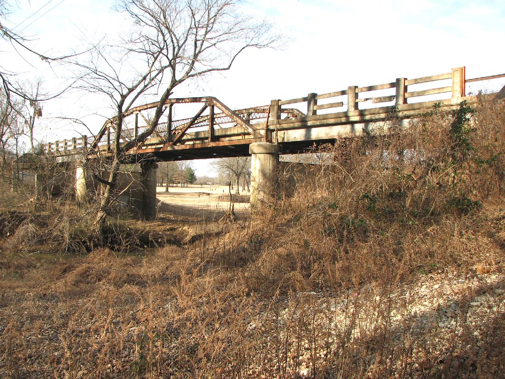
Old 59 Bridge-Side View
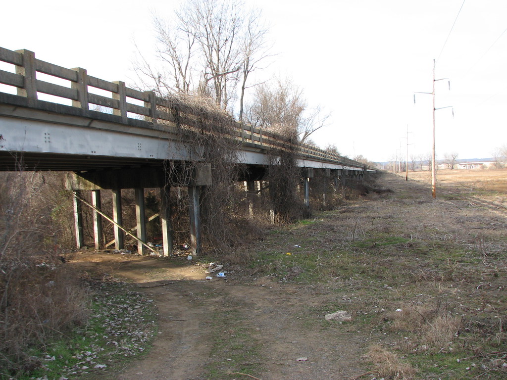
Old 59 Bridge-Deck View

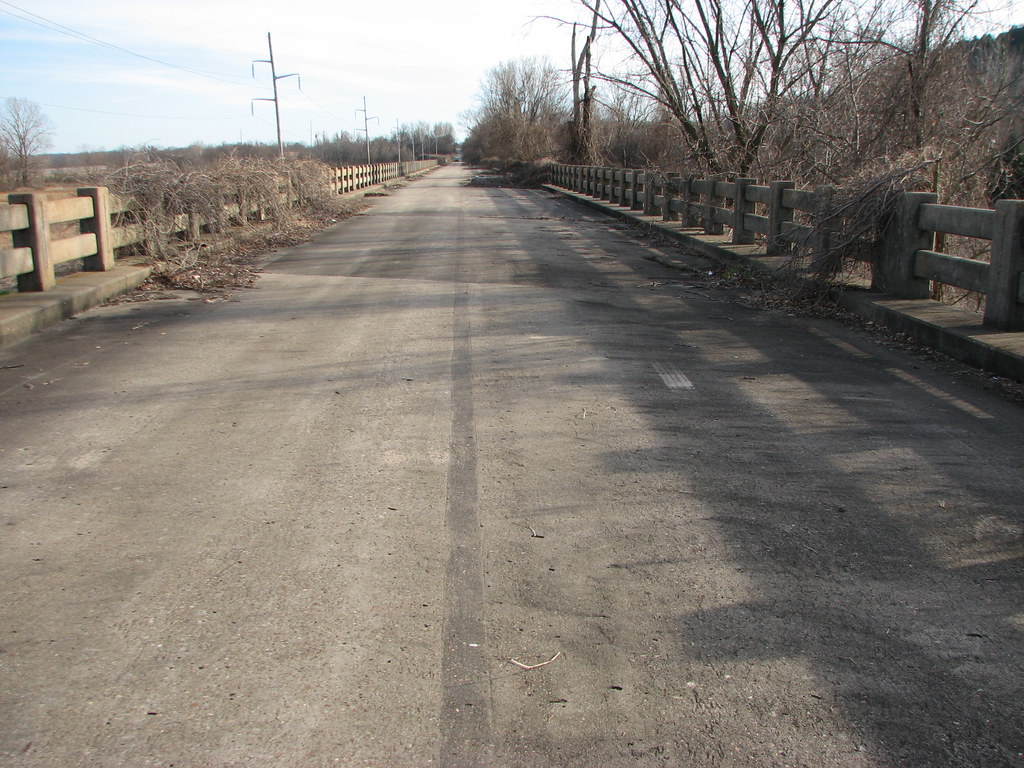
Old 59-Deck View

Sallisaw KOA 7
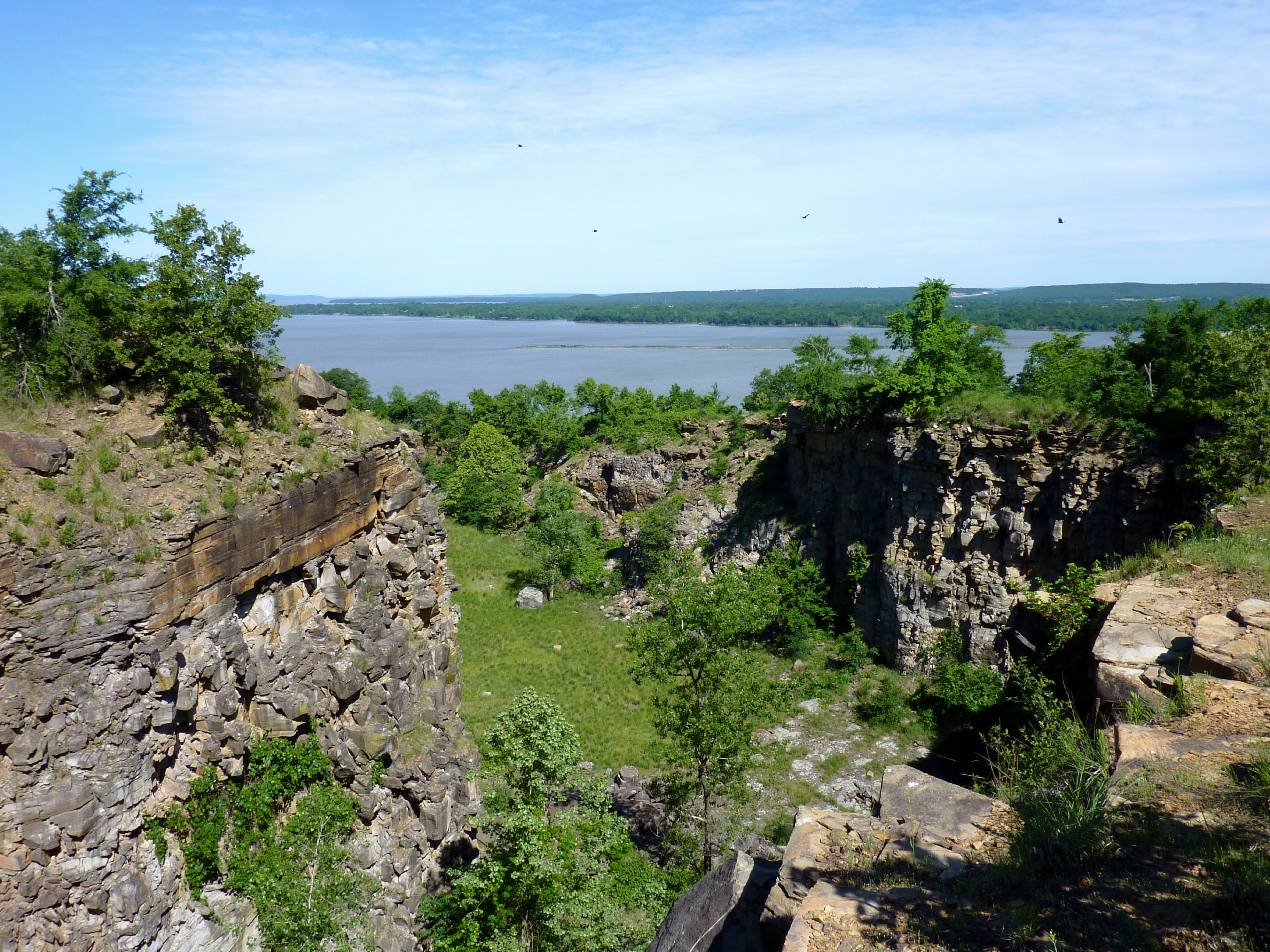
Vultures Flying From Short Mountain
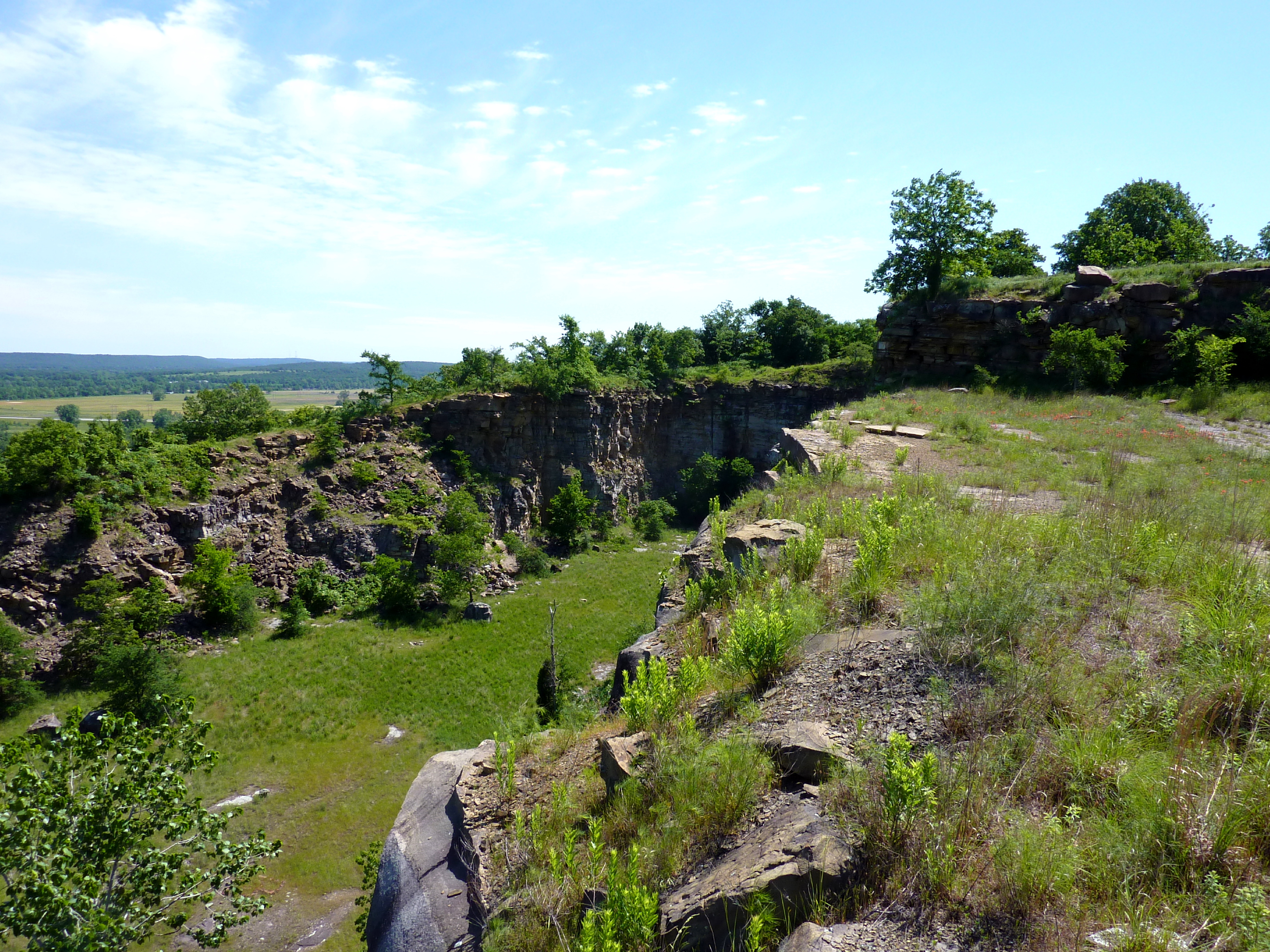
Atop Short Mountain

Sallisaw KOA 5
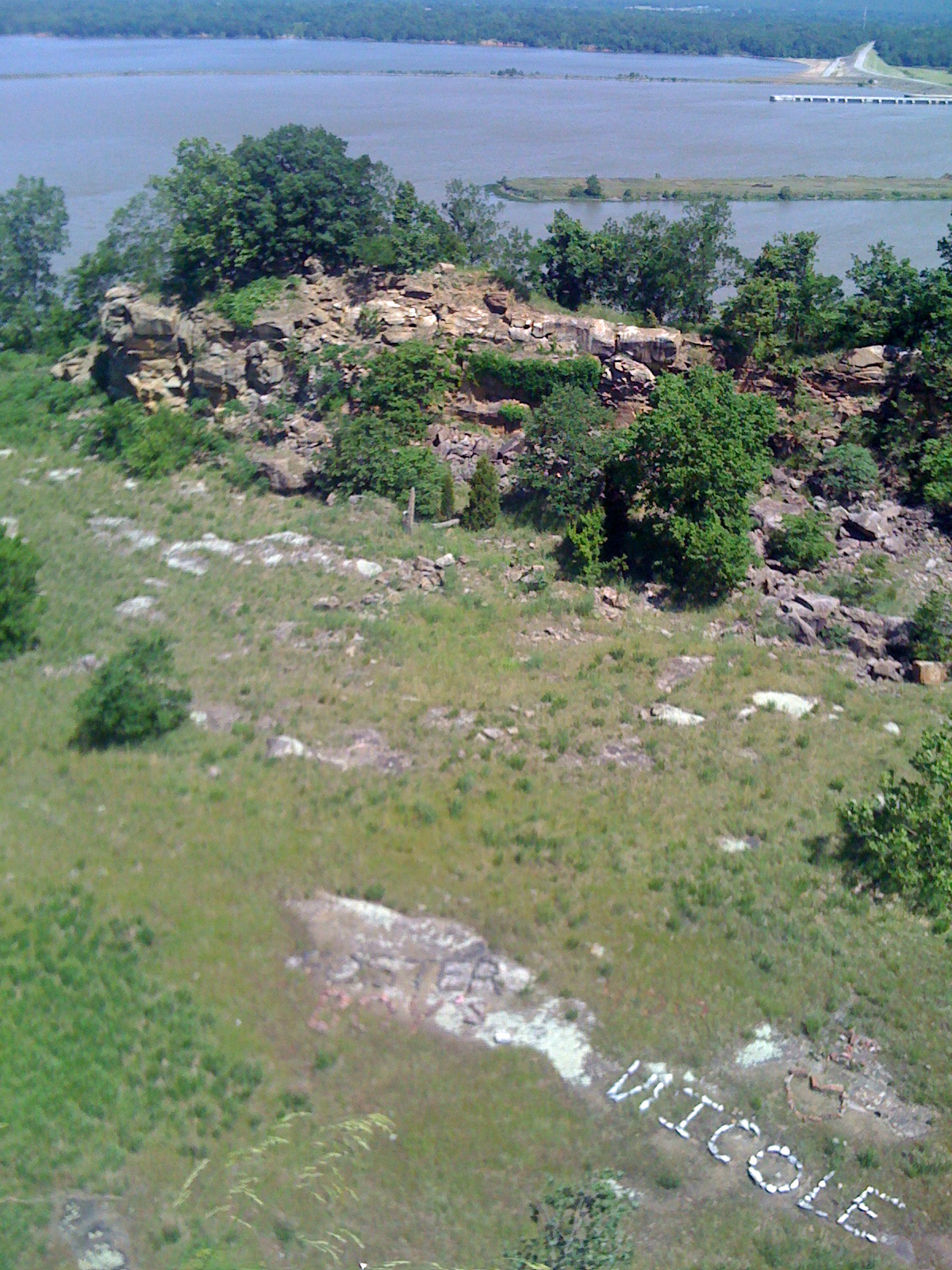
Graffiti Rocks at Kerr

DCIM\100MEDIA
Topographic Map of Sallisaw, OK, USA
Find elevation by address:

Places in Sallisaw, OK, USA:
Places near Sallisaw, OK, USA:
North Pine Street
Sallisaw / Fort Smith West Koa Holiday
Sequoyah County
S Rd, Sallisaw, OK, USA
457957 Us-64
457957 Us-64
107810 S 4570 Rd
Gans
Bunch
Robert S Kerr Reservoir
Keota
20425 W Chicken Creek Rd
Snake Creek Cove Public Use Area Campground
31750 S 584 Rd
31750 S 584 Rd
West Chicken Creek Road
20267 W 922 Rd
32680 S 549 Rd
Elm Ave, Bokoshe, OK, USA
203 Highland Dr
Recent Searches:
- Elevation of Corso Fratelli Cairoli, 35, Macerata MC, Italy
- Elevation of Tallevast Rd, Sarasota, FL, USA
- Elevation of 4th St E, Sonoma, CA, USA
- Elevation of Black Hollow Rd, Pennsdale, PA, USA
- Elevation of Oakland Ave, Williamsport, PA, USA
- Elevation of Pedrógão Grande, Portugal
- Elevation of Klee Dr, Martinsburg, WV, USA
- Elevation of Via Roma, Pieranica CR, Italy
- Elevation of Tavkvetili Mountain, Georgia
- Elevation of Hartfords Bluff Cir, Mt Pleasant, SC, USA