Elevation of Salinas Peak, New Mexico, USA
Location: United States > New Mexico > Sierra County >
Longitude: -106.53195
Latitude: 33.2981331
Elevation: 2674m / 8773feet
Barometric Pressure: 73KPa
Elevation Map:
Satellite Map:
Related Photos:
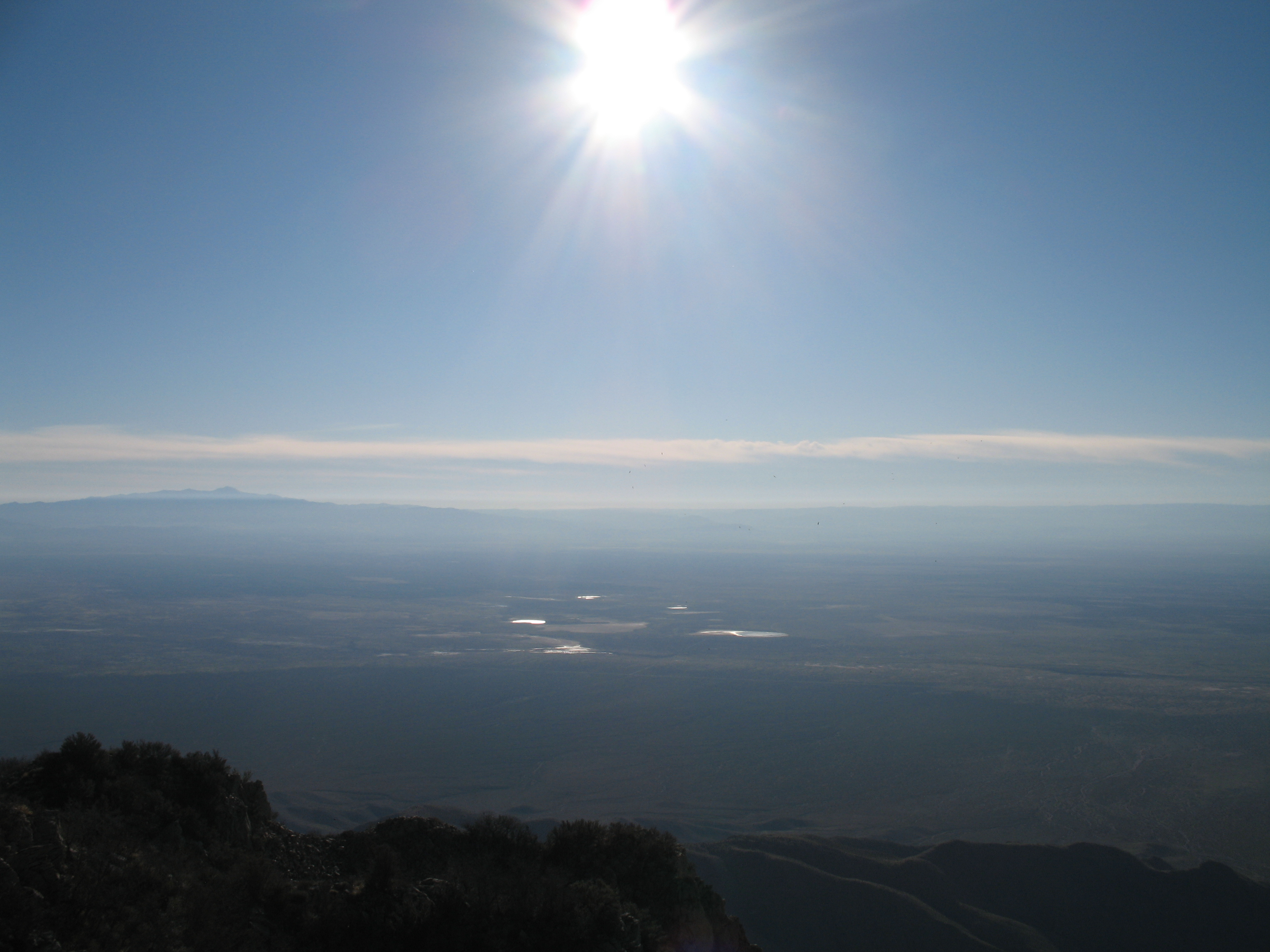
Sunrise to Space
Topographic Map of Salinas Peak, New Mexico, USA
Find elevation by address:

Places near Salinas Peak, New Mexico, USA:
Silver Top Mountain
Middle Peak
Ladybug Peak
Sheep Mountain West
Mount Baldy
Sheep Mountain East
Skillet Knob
Capitol Peak
Fairview Mountain
Unnamed Road
Hardscrabble Mountains Hp
Granddaddy Peak
Big Gyp Mountain
Mockingbird Mountains Hp
Black Top Mountain
Loma Vista
Pilot Knob
Little Burro Mountains Hp
Kaylor Mountain
Mcdonald Ranch House
Recent Searches:
- Elevation of Corso Fratelli Cairoli, 35, Macerata MC, Italy
- Elevation of Tallevast Rd, Sarasota, FL, USA
- Elevation of 4th St E, Sonoma, CA, USA
- Elevation of Black Hollow Rd, Pennsdale, PA, USA
- Elevation of Oakland Ave, Williamsport, PA, USA
- Elevation of Pedrógão Grande, Portugal
- Elevation of Klee Dr, Martinsburg, WV, USA
- Elevation of Via Roma, Pieranica CR, Italy
- Elevation of Tavkvetili Mountain, Georgia
- Elevation of Hartfords Bluff Cir, Mt Pleasant, SC, USA