Elevation of Salem, WV, USA
Location: United States > West Virginia > Harrison County > Southwest >
Longitude: -80.558985
Latitude: 39.2828653
Elevation: 320m / 1050feet
Barometric Pressure: 98KPa
Elevation Map:
Satellite Map:
Related Photos:
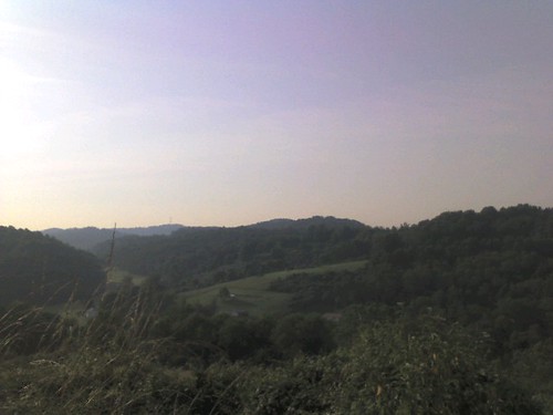
Overlooking Valley from Hay Field
Hidey Lidey Day

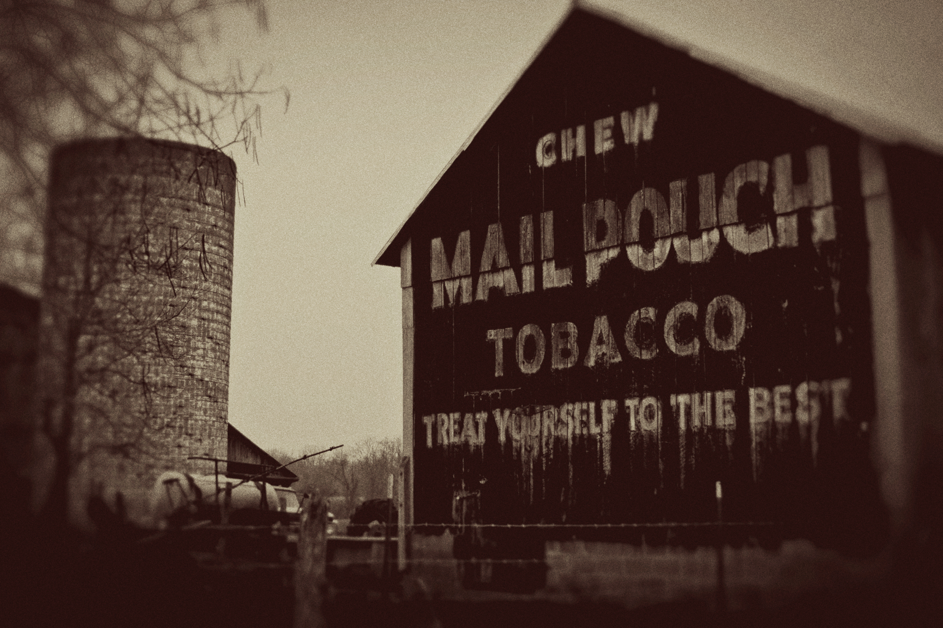
Autumn Country Scents

WV Country Road

Stutlers Fork

Cemetery Road

Stutlers Fork
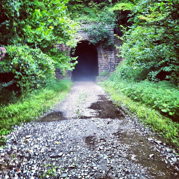
From my morning run. Yes I went in there. It was a Raiders of the Lost Ark moment
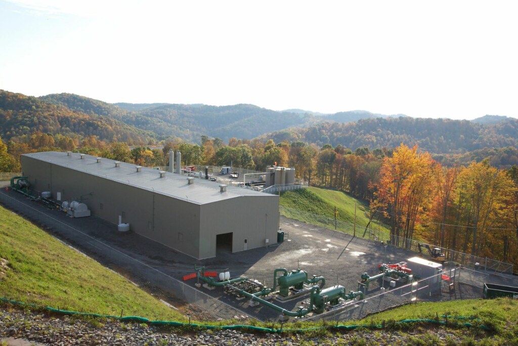
WV MorganStation

Haunted Flinderation Tunnel
Going Downhill with Hay
Topographic Map of Salem, WV, USA
Find elevation by address:

Places in Salem, WV, USA:
Places near Salem, WV, USA:
37 W Virginia Ave
102 Liberty St
76 Liberty St
Bristol
Stillhouse Road
Stillhouse Road
21 Twin Houses Ln, Salem, WV, USA
Rock Camp Road
Southwest
Reynoldsville
Reynoldsville, WV, USA
Doddridge County
New Milton
Co Rte 58, Jane Lew, WV, USA
North Urban
1726 Mccanns Run Rd
Country Club Chrysler Dodge Jeep Ram
62 Liberty St, West Milford, WV, USA
West Milford
South Urban
Recent Searches:
- Elevation of Corso Fratelli Cairoli, 35, Macerata MC, Italy
- Elevation of Tallevast Rd, Sarasota, FL, USA
- Elevation of 4th St E, Sonoma, CA, USA
- Elevation of Black Hollow Rd, Pennsdale, PA, USA
- Elevation of Oakland Ave, Williamsport, PA, USA
- Elevation of Pedrógão Grande, Portugal
- Elevation of Klee Dr, Martinsburg, WV, USA
- Elevation of Via Roma, Pieranica CR, Italy
- Elevation of Tavkvetili Mountain, Georgia
- Elevation of Hartfords Bluff Cir, Mt Pleasant, SC, USA