Elevation of Salem, SD, USA
Location: United States > South Dakota > Mccook County >
Longitude: -97.388953
Latitude: 43.7241455
Elevation: 464m / 1522feet
Barometric Pressure: 96KPa
Elevation Map:
Satellite Map:
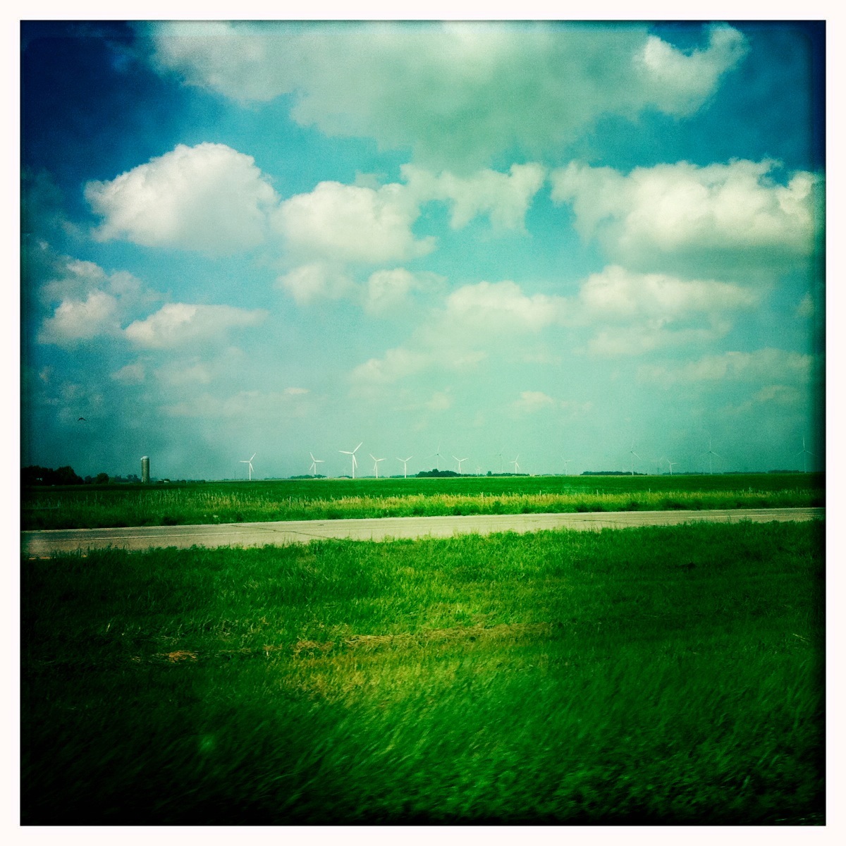
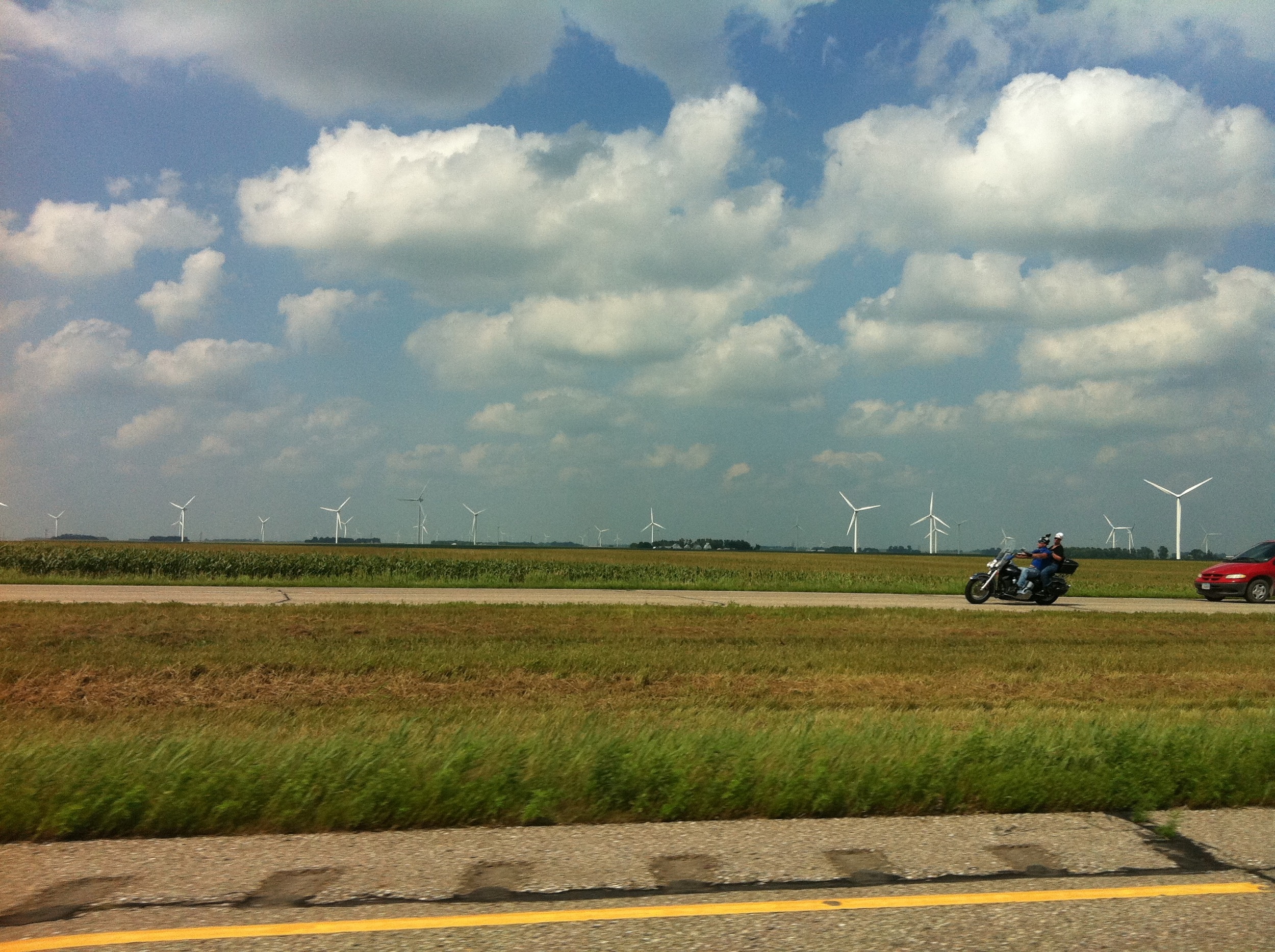
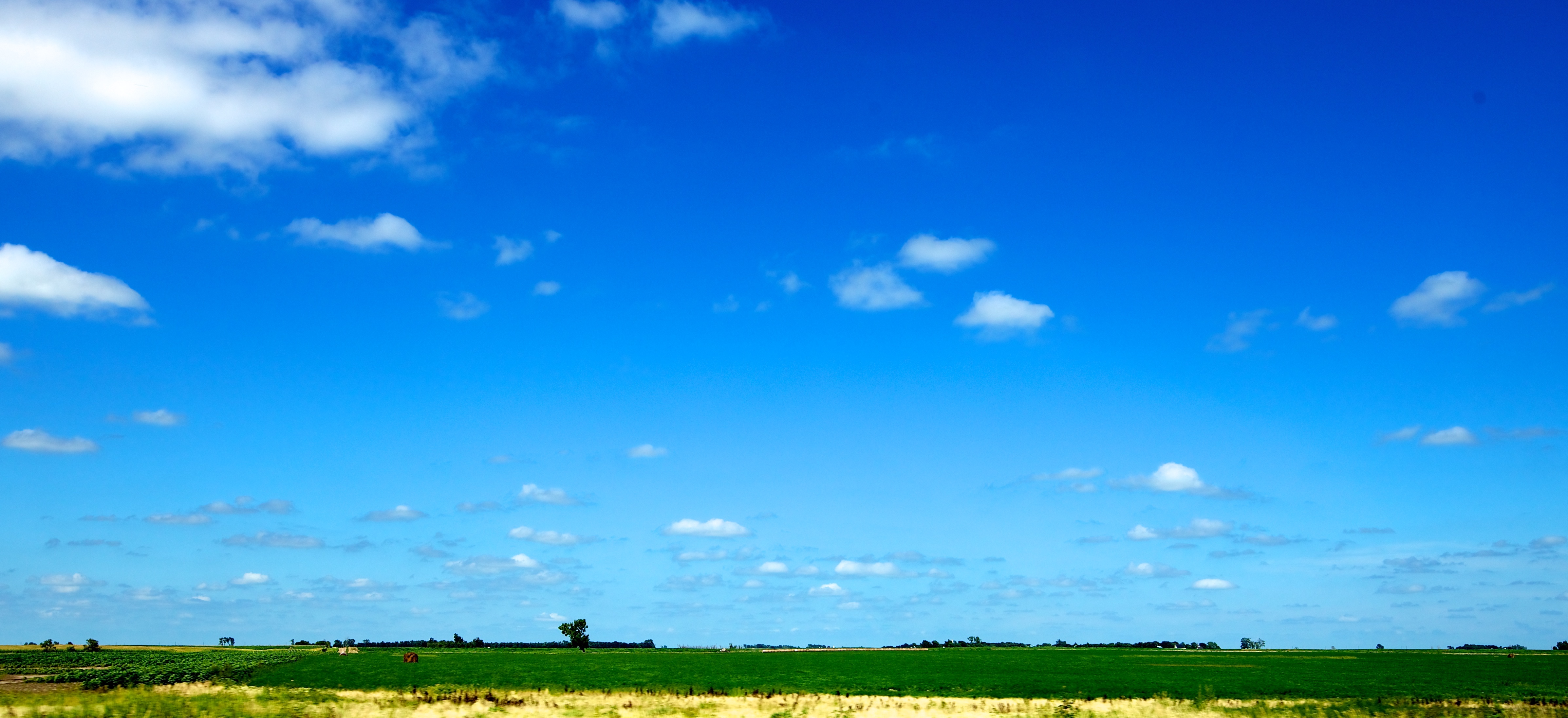
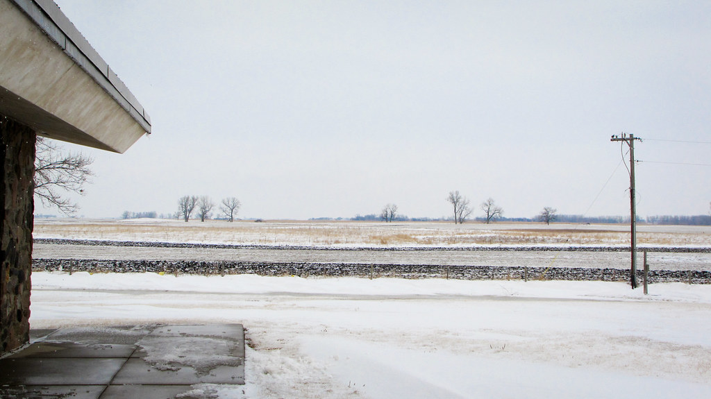
Related Photos:
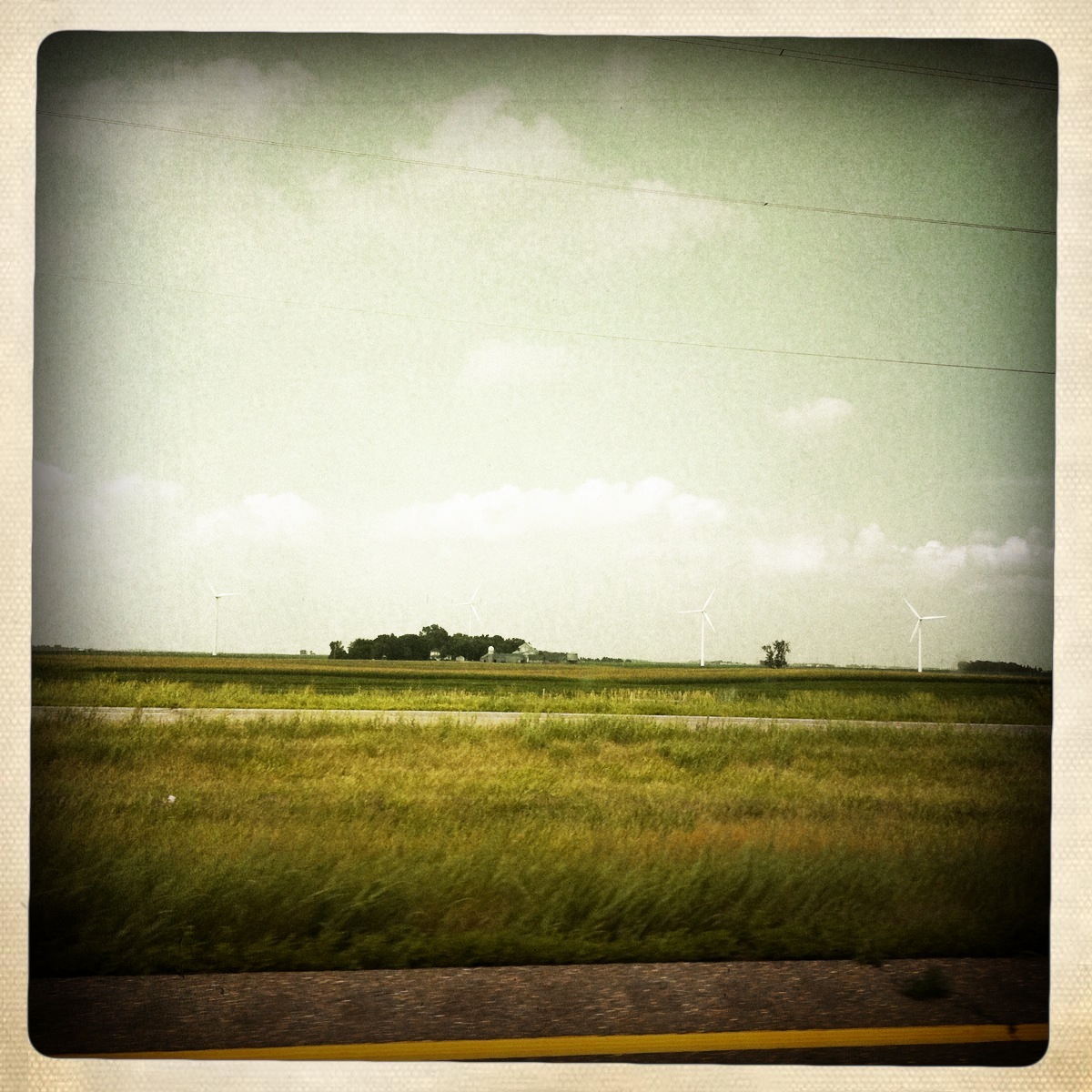
Camera Roll-442
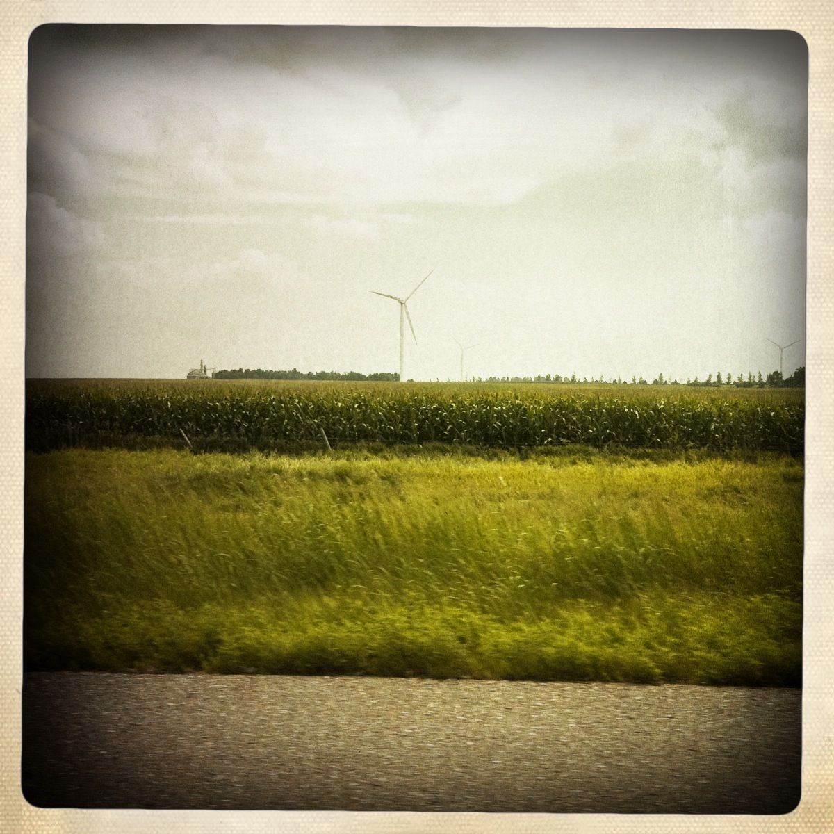
Camera Roll-443
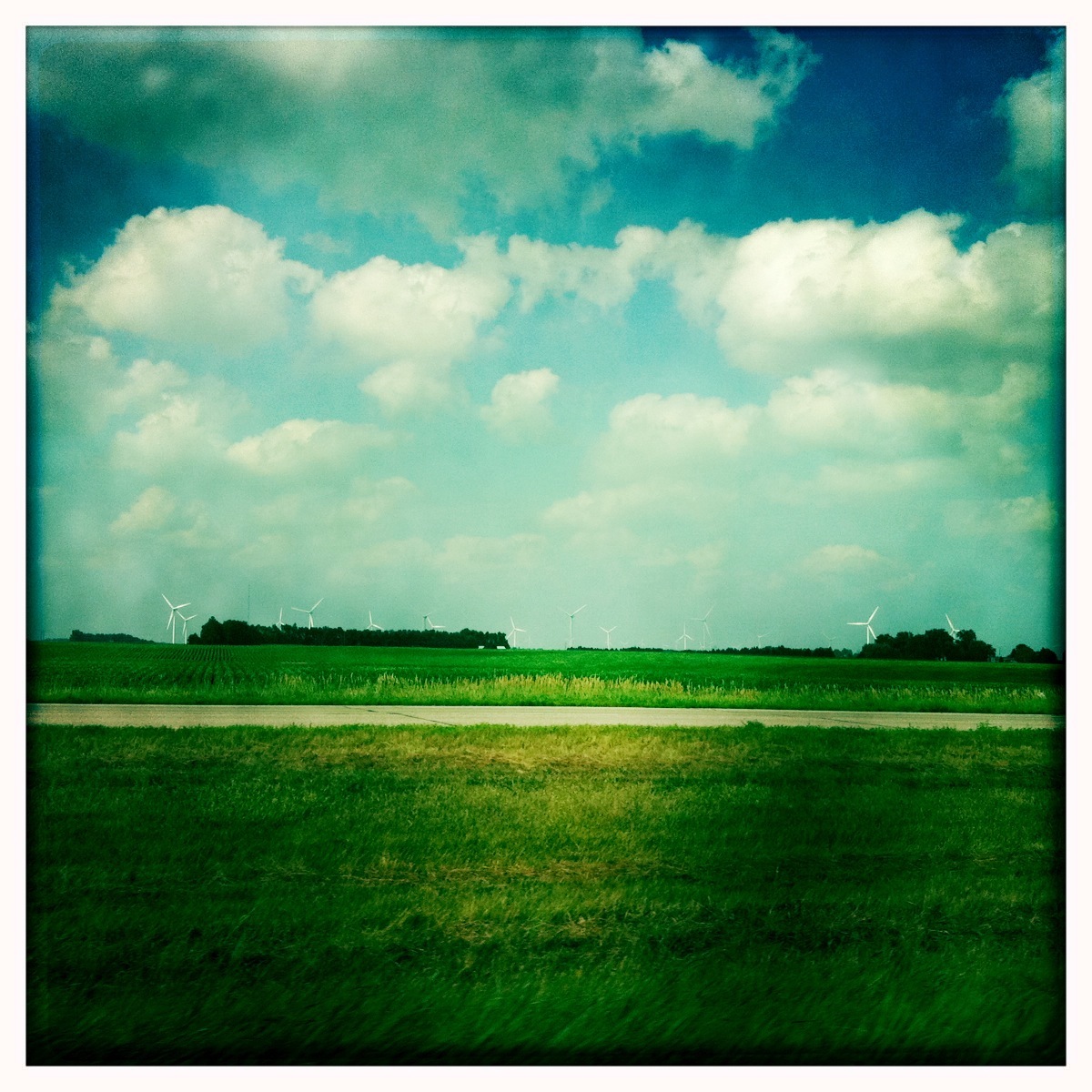
Camera Roll-435

Camera Roll-437
Camera Roll-436
window shots
day06 316
2012 March 1 - Highway 90 in Laurent, South Dakota

day06 317
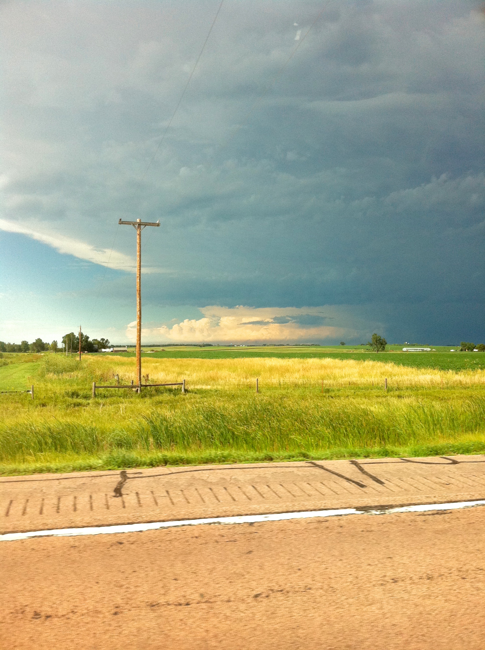
Looking back at the tornado
Toe Truck?

IMG_2926.jpg
Still SD
day06 319
day06 318

window shots
Topographic Map of Salem, SD, USA
Find elevation by address:

Places in Salem, SD, USA:
Places near Salem, SD, USA:
Salem, SD, USA
Mccook County
Canistota
Warehouse Ave, Canistota, SD, USA
Clark St, Montrose, SD, USA
Lake County
Hanson County
Madison
Hanson Township
Race View Dr, Mitchell, SD, USA
41210 Sd-38
Mitchell
Mitchell High School
2810 S Capital St
N Main St, Mitchell, SD, USA
201 W 1st Ave
Lake Preston
Prosper Township
Mitchell
Mabee Eye Clinic
Recent Searches:
- Elevation of Corso Fratelli Cairoli, 35, Macerata MC, Italy
- Elevation of Tallevast Rd, Sarasota, FL, USA
- Elevation of 4th St E, Sonoma, CA, USA
- Elevation of Black Hollow Rd, Pennsdale, PA, USA
- Elevation of Oakland Ave, Williamsport, PA, USA
- Elevation of Pedrógão Grande, Portugal
- Elevation of Klee Dr, Martinsburg, WV, USA
- Elevation of Via Roma, Pieranica CR, Italy
- Elevation of Tavkvetili Mountain, Georgia
- Elevation of Hartfords Bluff Cir, Mt Pleasant, SC, USA