Elevation of Salarzo Maira, Buner, Khyber Pakhtunkhwa, Pakistan
Location: Pakistan > Khyber Pakhtunkhwa > Buner > Pir Baba/ Gadaizi >
Longitude: 72.378098
Latitude: 34.5525038
Elevation: 789m / 2589feet
Barometric Pressure: 92KPa
Elevation Map:
Satellite Map:
Related Photos:

buner (9)

buner (10)

buner (13)

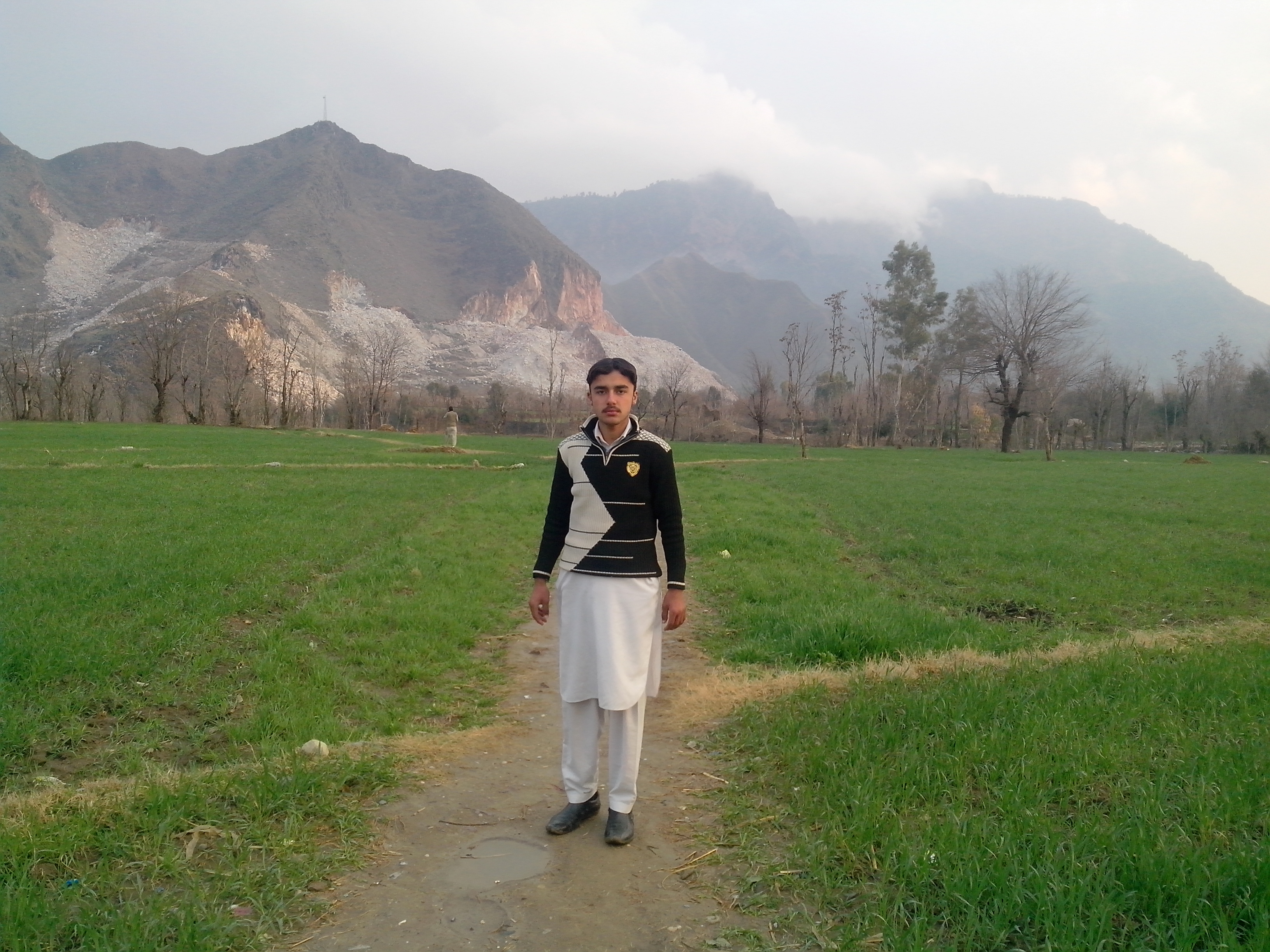
And my friend

IMG_1391 2

And my friend

And my friend
And my friend

And my friend

And my friend
Topographic Map of Salarzo Maira, Buner, Khyber Pakhtunkhwa, Pakistan
Find elevation by address:

Places near Salarzo Maira, Buner, Khyber Pakhtunkhwa, Pakistan:
Pir Baba/ Gadaizi
White Palace
Sangar
Babuzai
Jambil Swat Kpk Pakistan
Jambil
Saidu Sharif
Butkara I
Landikas
Qambar
Mingora
Qambar Bypass Ground
Mingora
G Qurban Restaurant
Relax Food Point
Khyber Shinwari Restaurant
Hotel Swat Regency
Hujra Restaurant Swat
China Town Restaurant
Swat View Hotel
Recent Searches:
- Elevation of Corso Fratelli Cairoli, 35, Macerata MC, Italy
- Elevation of Tallevast Rd, Sarasota, FL, USA
- Elevation of 4th St E, Sonoma, CA, USA
- Elevation of Black Hollow Rd, Pennsdale, PA, USA
- Elevation of Oakland Ave, Williamsport, PA, USA
- Elevation of Pedrógão Grande, Portugal
- Elevation of Klee Dr, Martinsburg, WV, USA
- Elevation of Via Roma, Pieranica CR, Italy
- Elevation of Tavkvetili Mountain, Georgia
- Elevation of Hartfords Bluff Cir, Mt Pleasant, SC, USA