Elevation of Saint Vincent, AB T0A 3B0, Canada
Location: Canada > Alberta > Division No. 12 > St. Paul County No. 19 >
Longitude: -111.27813
Latitude: 54.151369
Elevation: 643m / 2110feet
Barometric Pressure: 94KPa
Elevation Map:
Satellite Map:
Related Photos:

Perogy in Glendon, Alberta

Plaque on Perogy

Sunrise on the back forty

Reeds - Lower Mann Lake

Lower Mann Lake Sunset II

Lower Mann Lake

Summer Winds

Lake Overhead 6000x4500

Ready to build some roads

High Security
Ready for work

Lots of horses

Glendon Perogy

captain for xxbyaaahxx #5

captain for xxbyaaahxx #4

captain for xxbyaaahxx #3

captain for xxbyaaahxx #2

captain for xxbyaaahxx #1

captain for xxbyaaahxx #6

captain for xxbyaaahxx #7
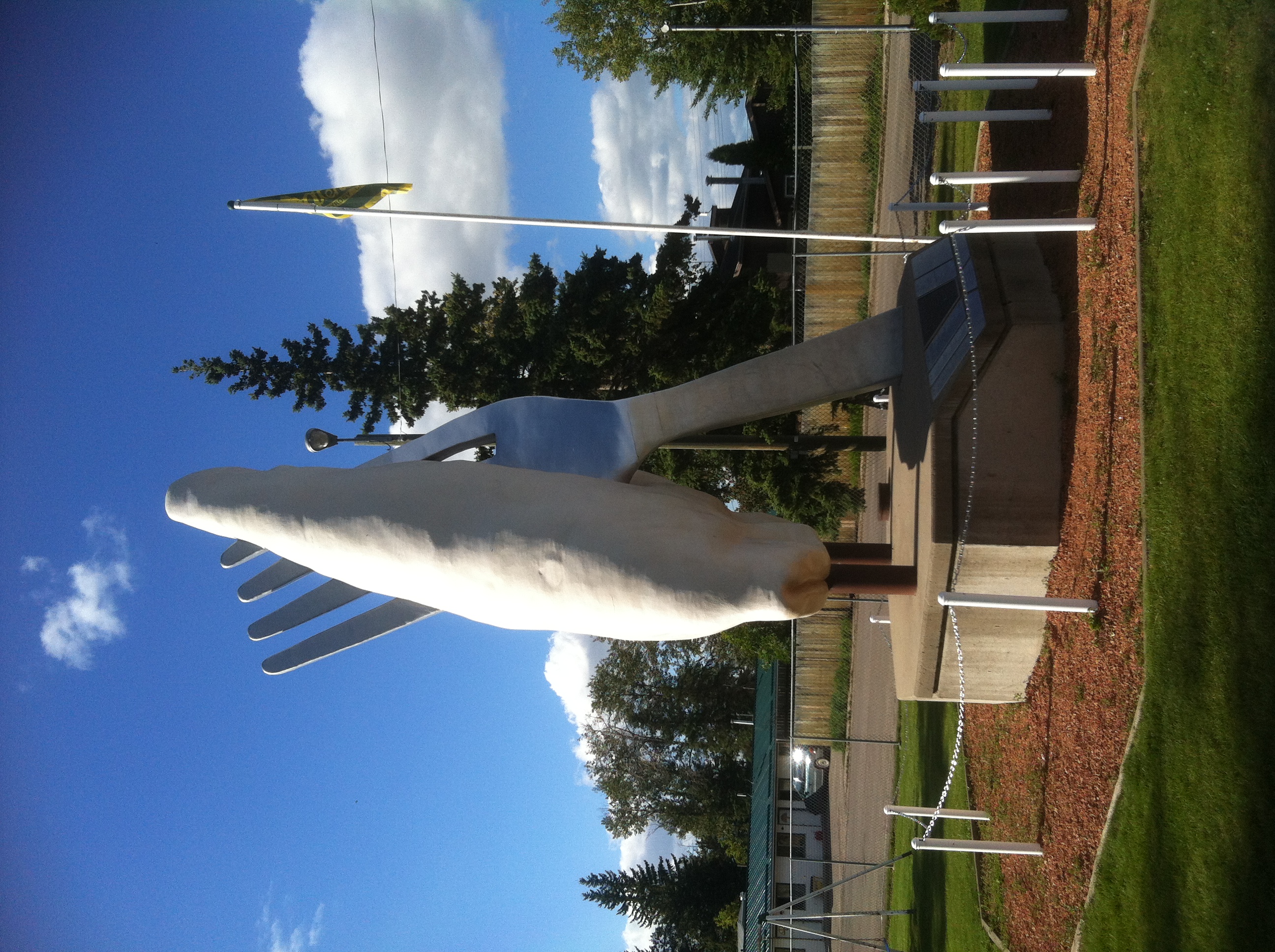
World's Largest Pyrogy
Topographic Map of Saint Vincent, AB T0A 3B0, Canada
Find elevation by address:

Places near Saint Vincent, AB T0A 3B0, Canada:
Saint Paul
Range Road 85
Ashmont
St. Paul County No. 19
Saddle Lake
Spedden
Two Hills County No. 21
Alberta 28
Division No. 12
4701 52 Ave
54 Ave, Two Hills, AB T0B 4K0, Canada
Two Hills
Elm St, Lavoy, AB T0B 2S0, Canada
Lac La Biche
Vegreville
Smoky Lake County
Recent Searches:
- Elevation of Corso Fratelli Cairoli, 35, Macerata MC, Italy
- Elevation of Tallevast Rd, Sarasota, FL, USA
- Elevation of 4th St E, Sonoma, CA, USA
- Elevation of Black Hollow Rd, Pennsdale, PA, USA
- Elevation of Oakland Ave, Williamsport, PA, USA
- Elevation of Pedrógão Grande, Portugal
- Elevation of Klee Dr, Martinsburg, WV, USA
- Elevation of Via Roma, Pieranica CR, Italy
- Elevation of Tavkvetili Mountain, Georgia
- Elevation of Hartfords Bluff Cir, Mt Pleasant, SC, USA