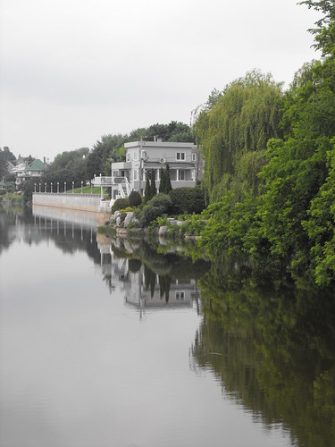
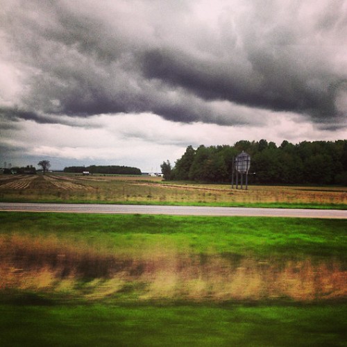
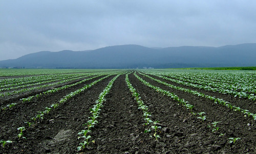
Elevation of Saint-Thomas-D'Aquin, St-Thomas-D'Aquin, Saint-Hyacinthe, QC, Canada

Location: Canada > Québec > Les Maskoutains Regional County Municipality > Saint-hyacinthe >

Longitude: -72.989987

Latitude: 45.651881

Elevation: 35m / 115feet

Barometric Pressure: 101KPa

Elevation Map:

elevation map of Saint-Thomas-D'Aquin, St-Thomas-D'Aquin, Saint-Hyacinthe, QC, Canada

Satellite Map:

Satellite map of Saint-Thomas-D'Aquin, St-Thomas-D'Aquin, Saint-Hyacinthe, QC, Canada

Related Photos:

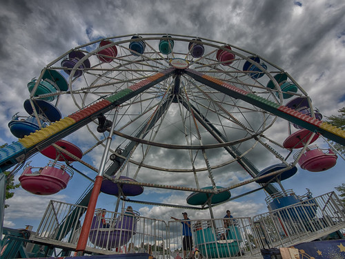
sky holiday kids clouds vacances wideangle event ciel enfants nuages plaisir contreplongée grandangle sthyacinthe événement lumixgvario714f40 olympusem1 expositionagricoledesthyacinthe
La grande Roue / The Ferris Wheel
birdwatcher sainthyacinthe specanimal anawesomeshot diamondclassphotographer flickrdiamond chouetteépervière platinumheartaward thecelebrationoflife parclessalines
Chouette épervière
popart 200mm wowfactor a65 martbee
Graf.
sainthyacinthe chouetteépervière parclessalines
Chouette épervière
desktop wallpaper 800x600 psp background widescreen highdefinition 169 fond desktopwallpaper 1920x1200 écran 1610 1440x900 1024x768 1280x768 1280x1024 fonddécran 1680x1050 480x272 1280x800 1280x720 1920x1080 fullhd 1024x600 800x480 fullhdwallpaper fullhddesktopwallpaper
St-Marc-sur-Richelieu
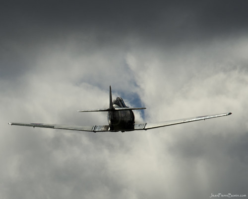
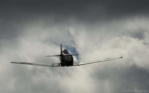
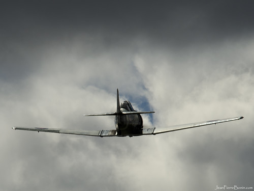
1280x1024 Harvard
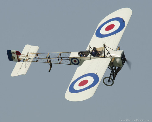
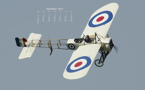
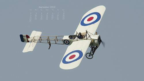
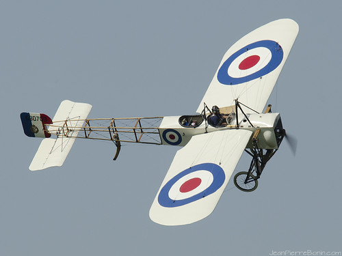
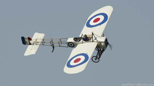
1280x1024 Blériot
650x480écransscreens43 calendrierfondécrandesktopcalendarwallpaperaviationavionaéronefairplaneaircraft2560x16001920x12001680x10501440x9001280x800 16101920x10801280x10241024x768800x600
sun-sat 2560x1600 Blériot
650x480écransscreens43 calendrierfondécrandesktopcalendarwallpaperaviationavionaéronefairplaneaircraft2560x16001920x12001680x10501440x9001280x800 16101920x10801280x10241024x768800x600
sun-sat 1920x1080 Blériot
1920x1080 Harvard
1024x768 Blériot
2560x1600 Harvard
1920x1080 Blériot
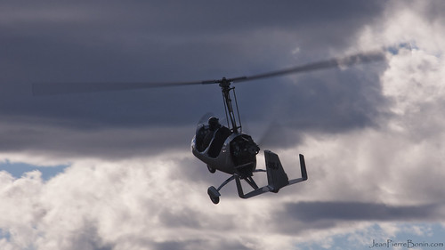
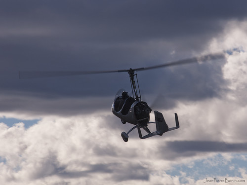
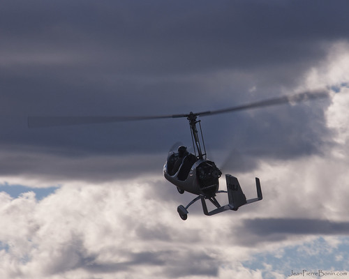
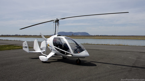
1920x1080 Auto-Gyro
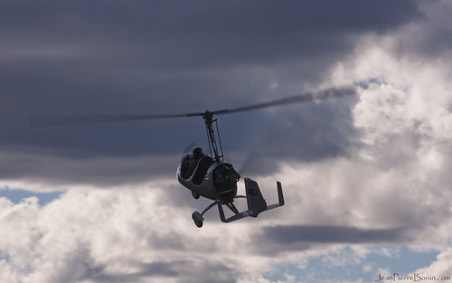
2560x1600 Auto-Gyro
1024x768 Auto-Gyro
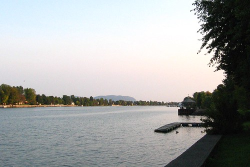
park summer water river landscape eau 2006 rivière été paysage parc rivièrerichelieu richelieuriver mimosamichemichelle michellebéchardlalonde viewofthemountain vuedelamontagne ✿img2734mf parcetjardinpublic publicparkandgarden ⌘⌘montérégie ⌘saintmarcsurrichelieu ⌘⌘rivesudsouthshore ⌘⌘⌘⌘canada ⌘⌘⌘québec ⌘montsainthilaire lemontsainthilaire
Rivière Richelieu et la montagne
1024x768 Harvard
1280x1024 Auto-Gyro
Vue sans obstruction - Unobstructed view DSC_4407 copie
desktop image fond écran wallpaer
1920x1080 C-GRBI
20140519_163711.jpg
autumn trees sky blackandwhite bw canada fall clouds rural landscapes quebec fields plowed saintemariemadeleine
mont st-hilaire
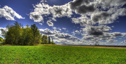
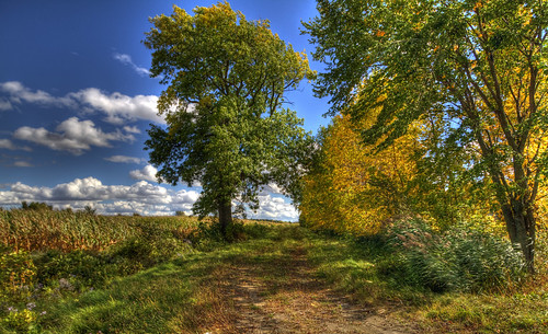
cloud tree field canon landscape champs nuages arbre paysages hdr
Sunday landscape
cloud tree field canon landscape champs nuages arbre paysages hdr
Two trees
canada québec saintpie
48 de 365
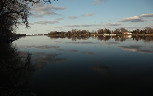
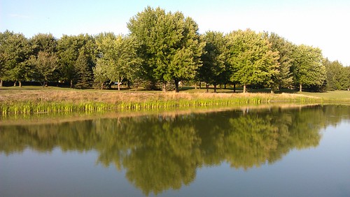
canada reflection water quebec québec qc montérégie cellphonepicture mobilephonepicture monteregie
Reflection of trees in water
landart 2014 montsainthilaire
Attrape roche
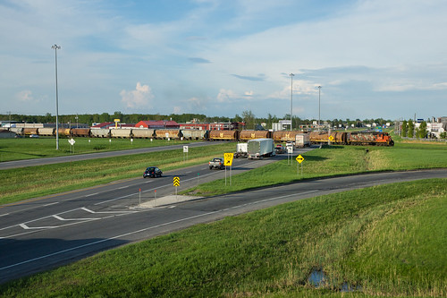
spur dangerous highway crossing canadian national level autoroute 20 passage canadien niveau subdivision saintjude dangereux
CN 519 @ Saint-Hyacinthe, QC
Desde el monte san hilario
mountain canada nature train landscape quebec québec paysagesété
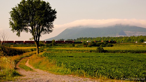
A train passing by the St-Hilaire mountain / Un train passant devant le mont Saint-Hilaire, Québec (P1030739)
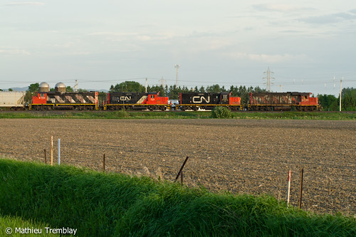
cn train quebec ge generalelectric canadiannational es44dc gevo sterosalie cn2225 cn394 cn2278 sherbrookesub
CN 394 stretching towards the horizon
VIA 14 @ Sainte-Madeleine
Traces de la patte arrière du Blériot DSC_4609 copie
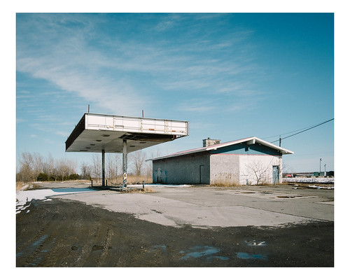
canada landscape spring gasstation
st-liboire
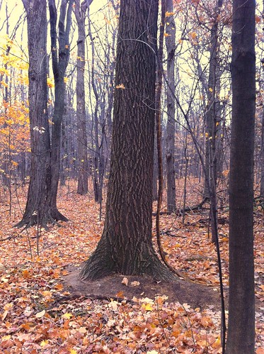
canada fall landscape quebec montérégie
Montérégie
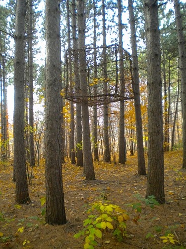
trees nature woods arbres québec installation installationart landart sthilaire insitu mélèze montsainthilaire éphémère ephemeralart soniarobertson artinsitu octobre2012 créationssurlechamp tshiashilnuatsheumeshkanum cheminverslesanciens
Sonia Robertson, Tshiashilnuatsh eu meshkanum - Chemin vers les anciens, 2012
cn canadian richmond national canadien subdivision gp382 gp9 gp402 393 sainthyacinthe taschereau
CN 393 @ Saint-Hyacinthe
Tous les rangs mènent au mont Rougemont
trees nature orchard québec cube installationart landart verger montsainthilaire allerauxpommes octobre2012 nathalielevasseur
Nathalie Levasseur, Aller aux pommes, 2012
canada quebec montérégie yamaska
Rivière Yamaska
instagramapp square squareformat iphoneography uploaded:by=instagram lofi foursquare:venue=4ca96dded971b1f7c0a21ee1
Sur la route.