Elevation of Saint-Louis-de-Blandford, QC G0Z, Canada
Location: Canada > Québec > Arthabaska Regional County Municipality >
Longitude: -72.004187
Latitude: 46.2712907
Elevation: 100m / 328feet
Barometric Pressure: 100KPa
Elevation Map:
Satellite Map:
Related Photos:

DiamondBack Shim Kit
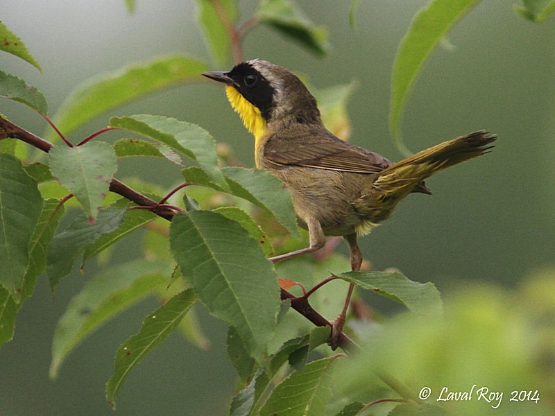
1.27712 Paruline masquée (mâle) / Geothlypis trichas trichas / Common Yellowthroat
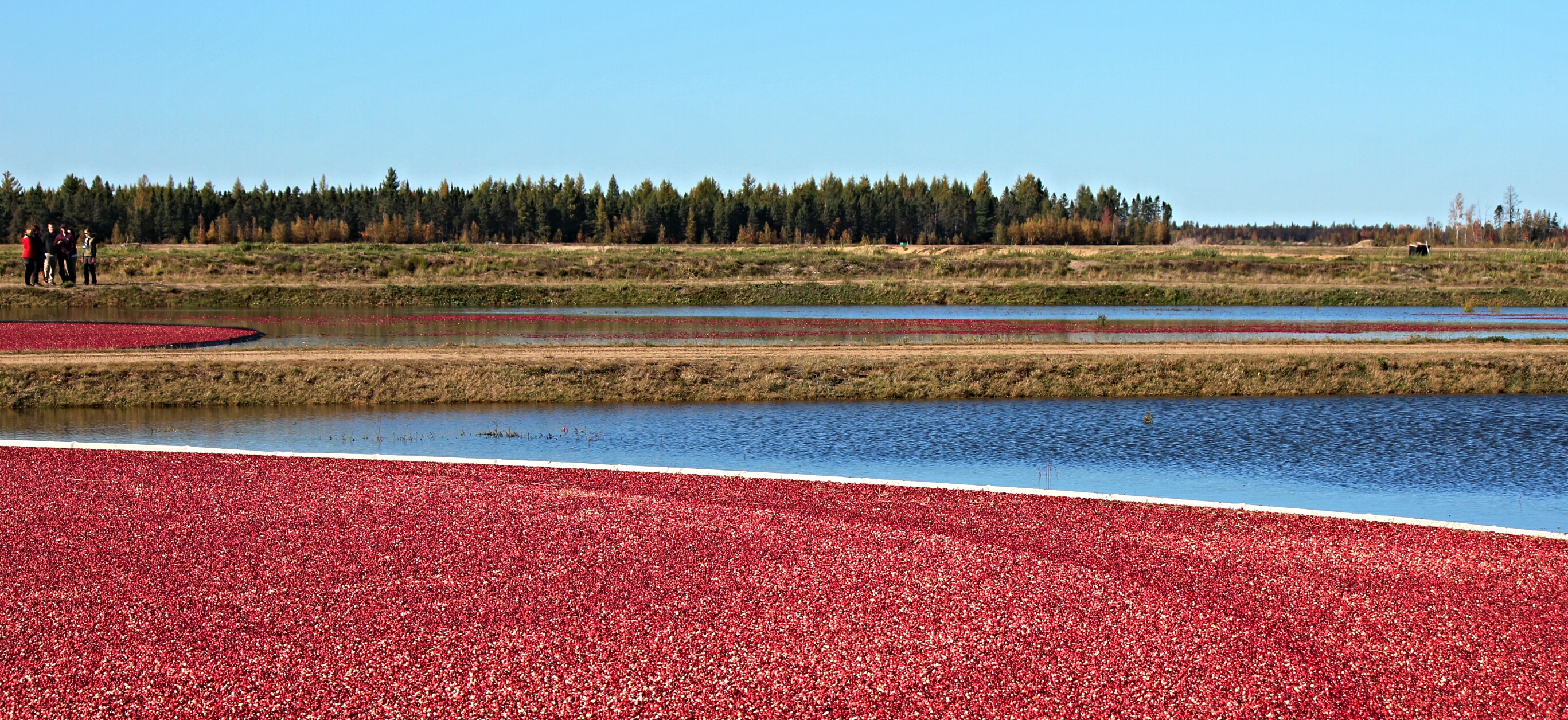
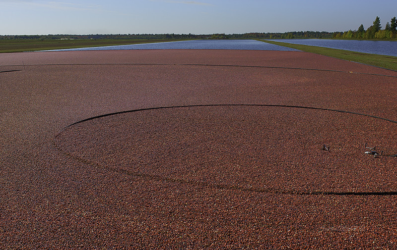
Harvesting cranberries on water...
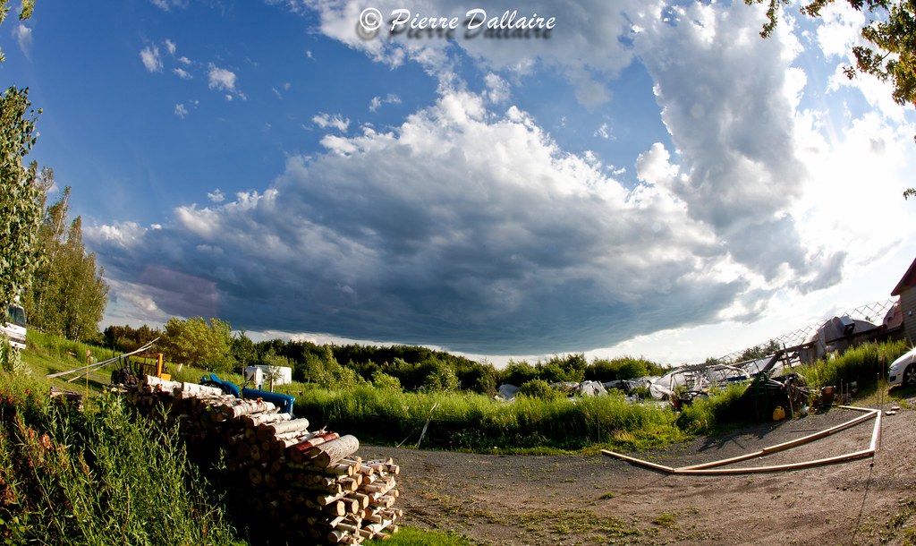
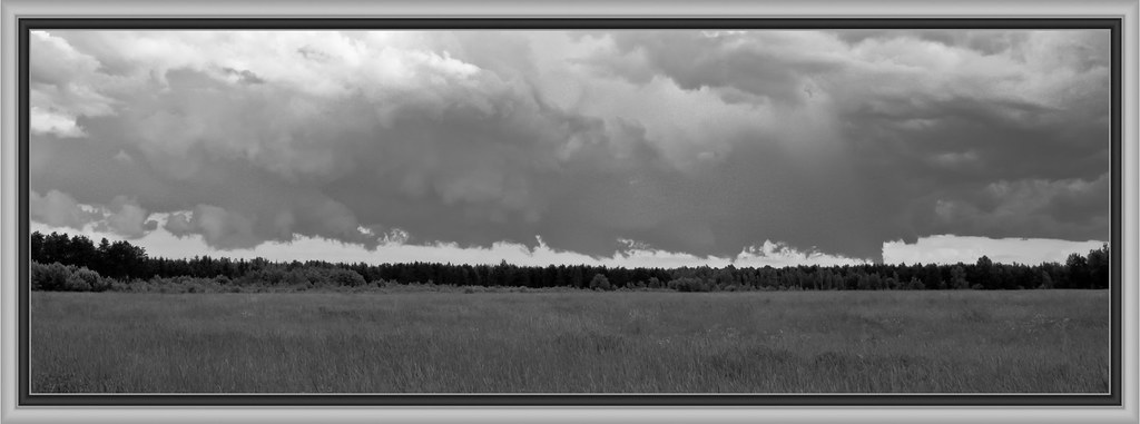
nuages 6

..
St-Sylvère / QC/ Canada

..
Canneberge en fête
Une soirée au chalet, c'est beau !
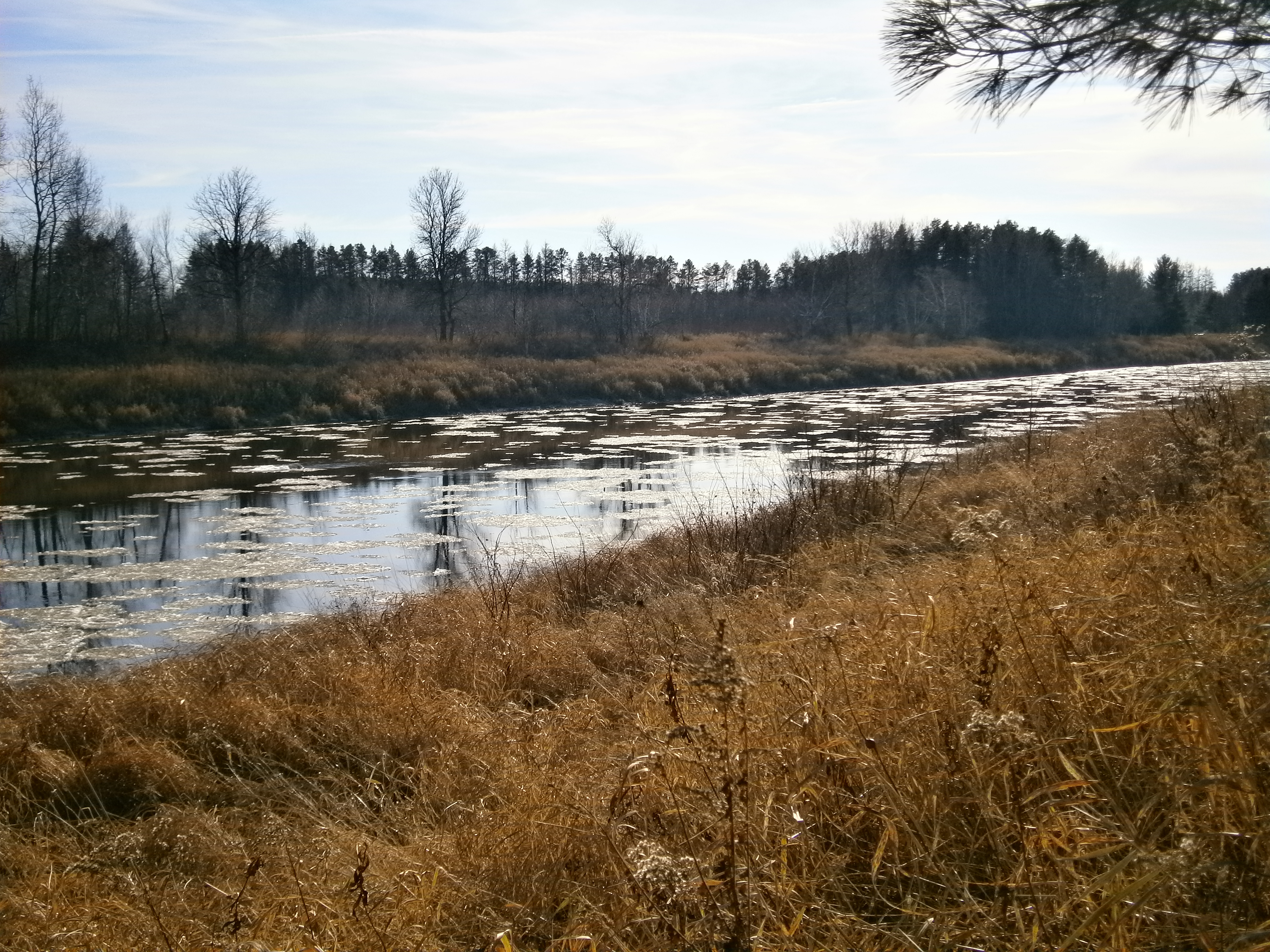
Rivière Bécancour
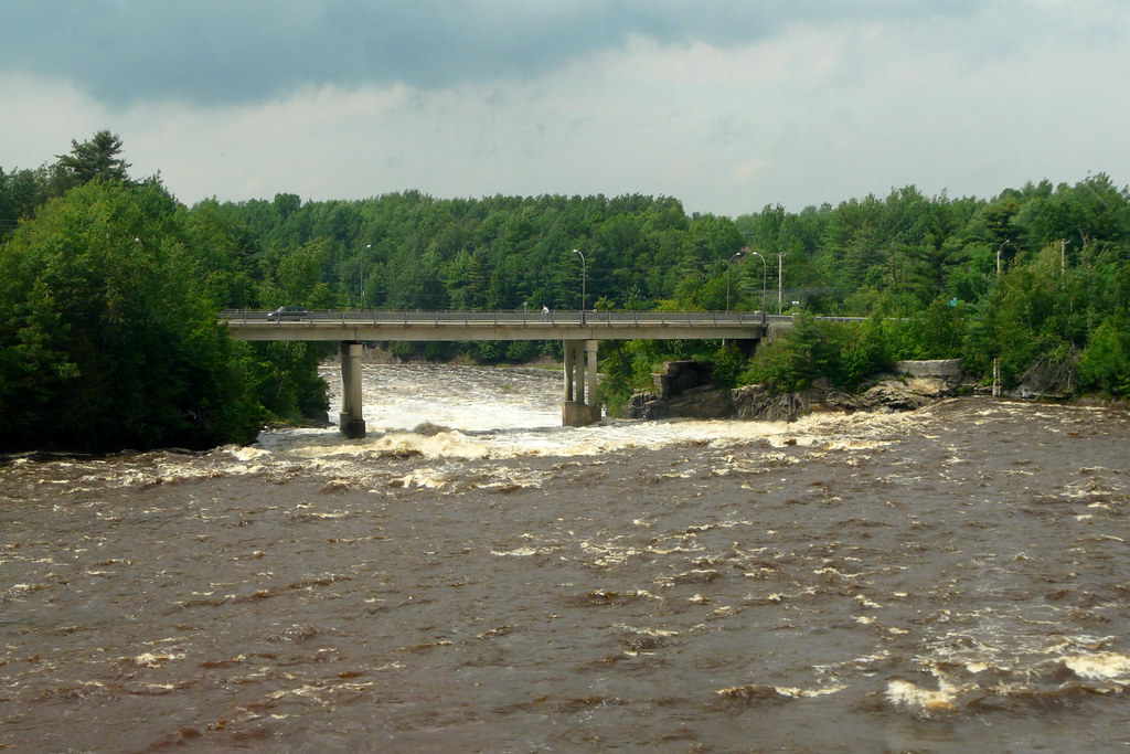
Crossing the Bécancour
Topographic Map of Saint-Louis-de-Blandford, QC G0Z, Canada
Find elevation by address:

Places in Saint-Louis-de-Blandford, QC G0Z, Canada:
Places near Saint-Louis-de-Blandford, QC G0Z, Canada:
Saint-louis-de-blandford
Rang Saint François, Saint-Louis-de-Blandford, QC G0Z 1B0, Canada
Maddington
Maddington
10 2e Av, Victoriaville, QC G6T 1M6, Canada
Victoriaville
Rue de l'Académie, Victoriaville, QC G6R 0T9, Canada
Saint-valère
Saint-valère
Plessisville
Boulevard des Bois Francs S, Victoriaville, QC G6P 5W5, Canada
Aston-jonction
Rue Vigneault, Aston-Jonction, QC G0Z 1A0, Canada
5 Rue Des Hospitalières
Mont Arthabaska
Aston-jonction
Bécancour Regional County Municipality
Sainte-eulalie
Sainte-eulalie, Quebec
Saint-wenceslas
Recent Searches:
- Elevation of Corso Fratelli Cairoli, 35, Macerata MC, Italy
- Elevation of Tallevast Rd, Sarasota, FL, USA
- Elevation of 4th St E, Sonoma, CA, USA
- Elevation of Black Hollow Rd, Pennsdale, PA, USA
- Elevation of Oakland Ave, Williamsport, PA, USA
- Elevation of Pedrógão Grande, Portugal
- Elevation of Klee Dr, Martinsburg, WV, USA
- Elevation of Via Roma, Pieranica CR, Italy
- Elevation of Tavkvetili Mountain, Georgia
- Elevation of Hartfords Bluff Cir, Mt Pleasant, SC, USA