Elevation map of Saint John County, NB, Canada
Location: Canada > New Brunswick >
Longitude: -65.798107
Latitude: 45.2118434
Elevation: -45m / -148feet
Barometric Pressure: 102KPa
Elevation Map:
Satellite Map:
Related Photos:
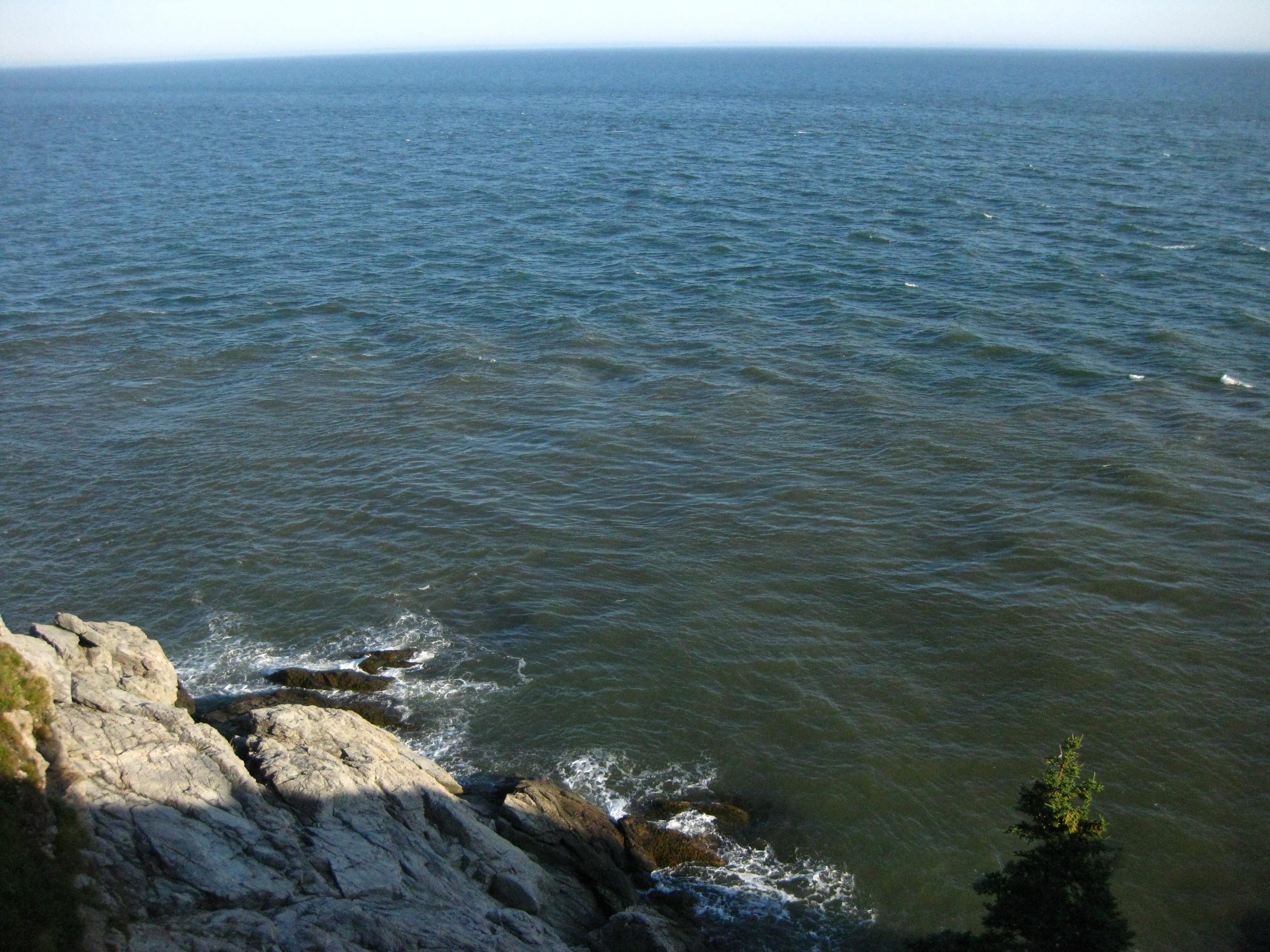
Mispec Point from Cape Spencer

"goal"
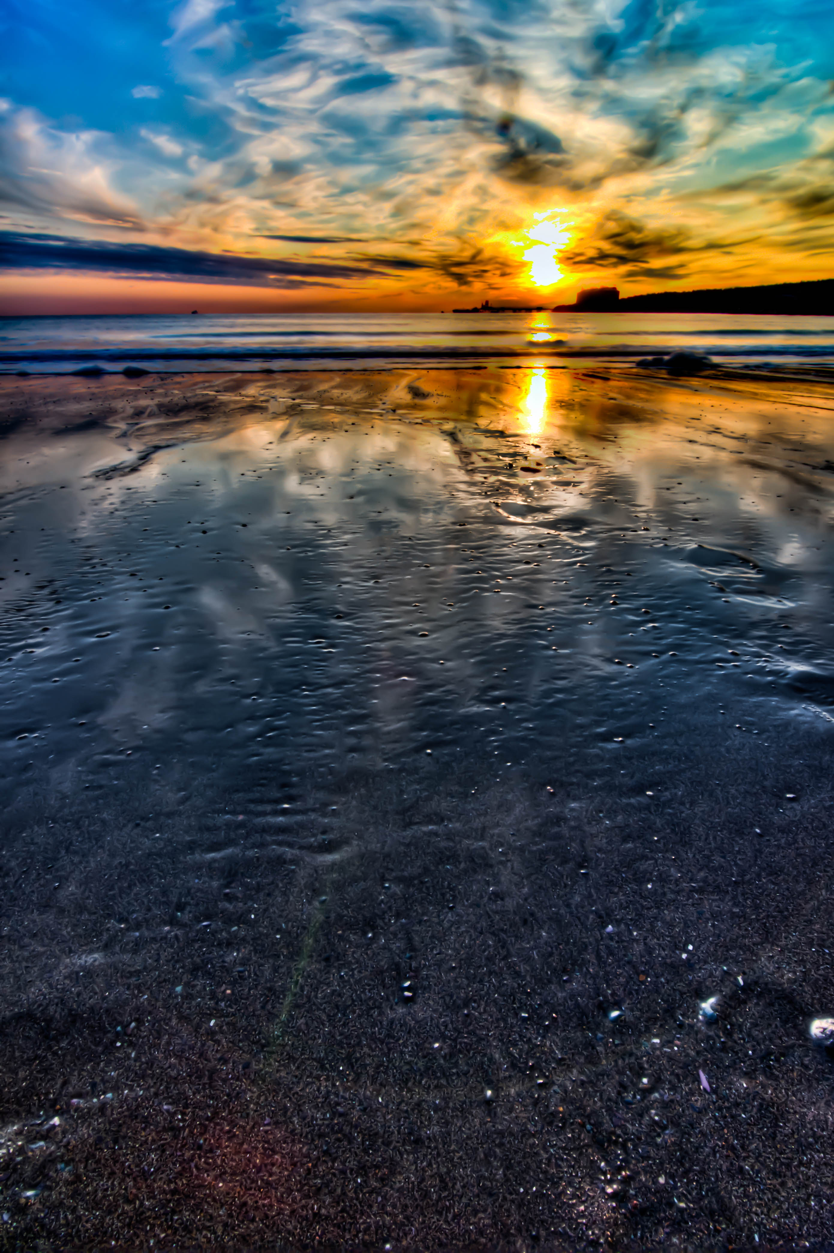
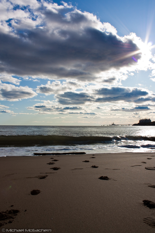
Late Day at Mispec Beach
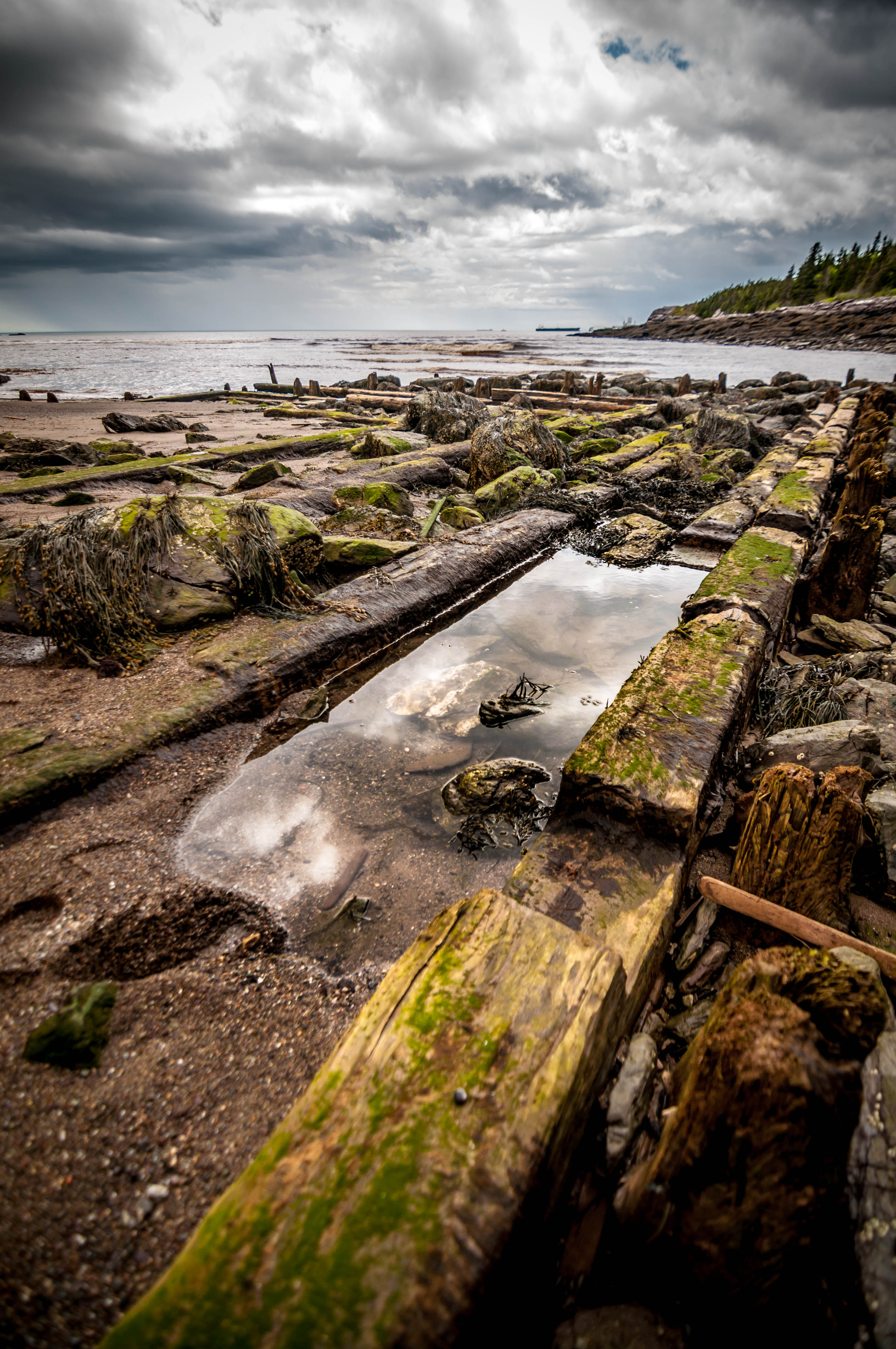
Old rotten woods

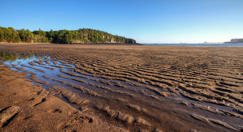
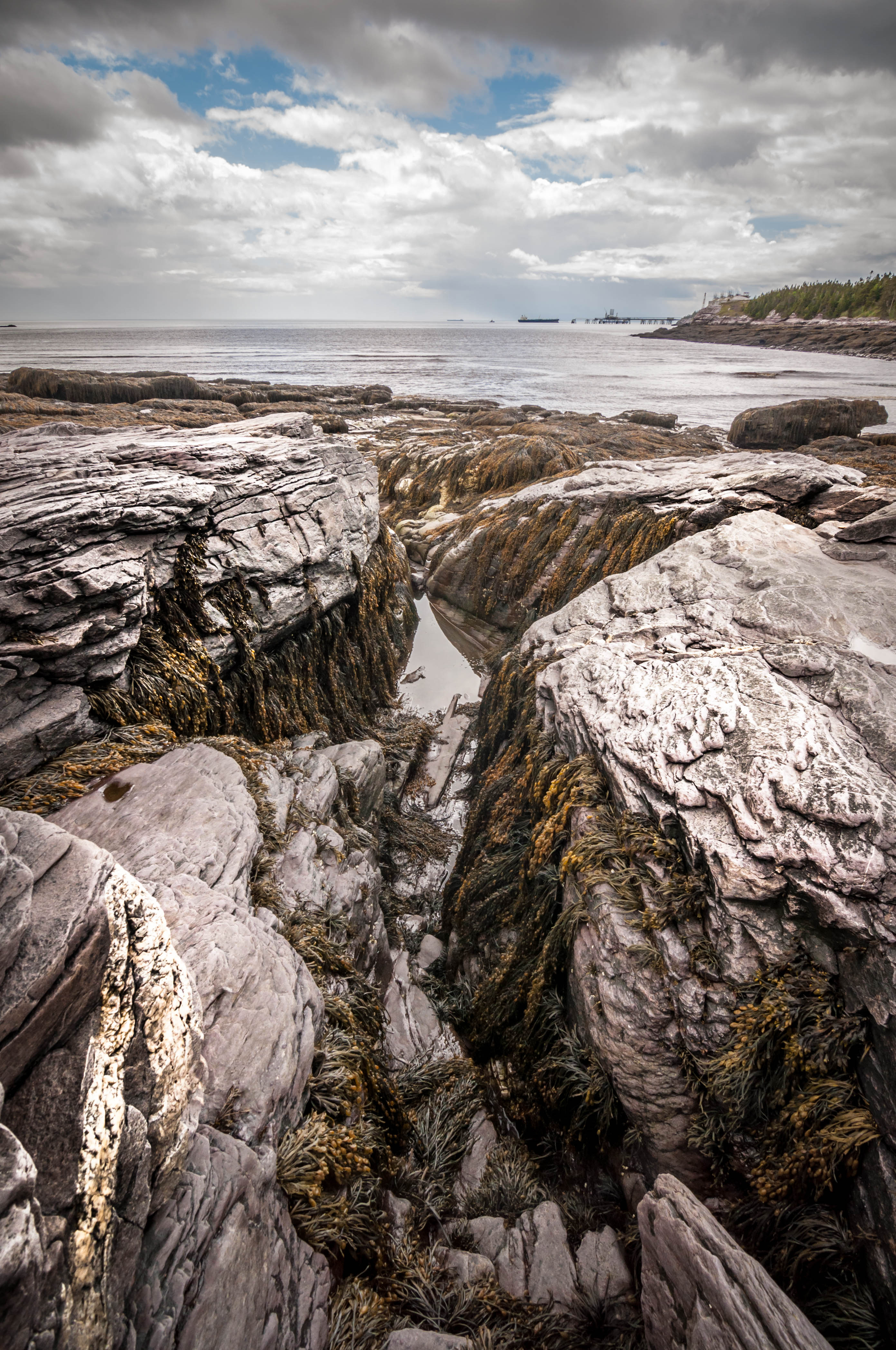
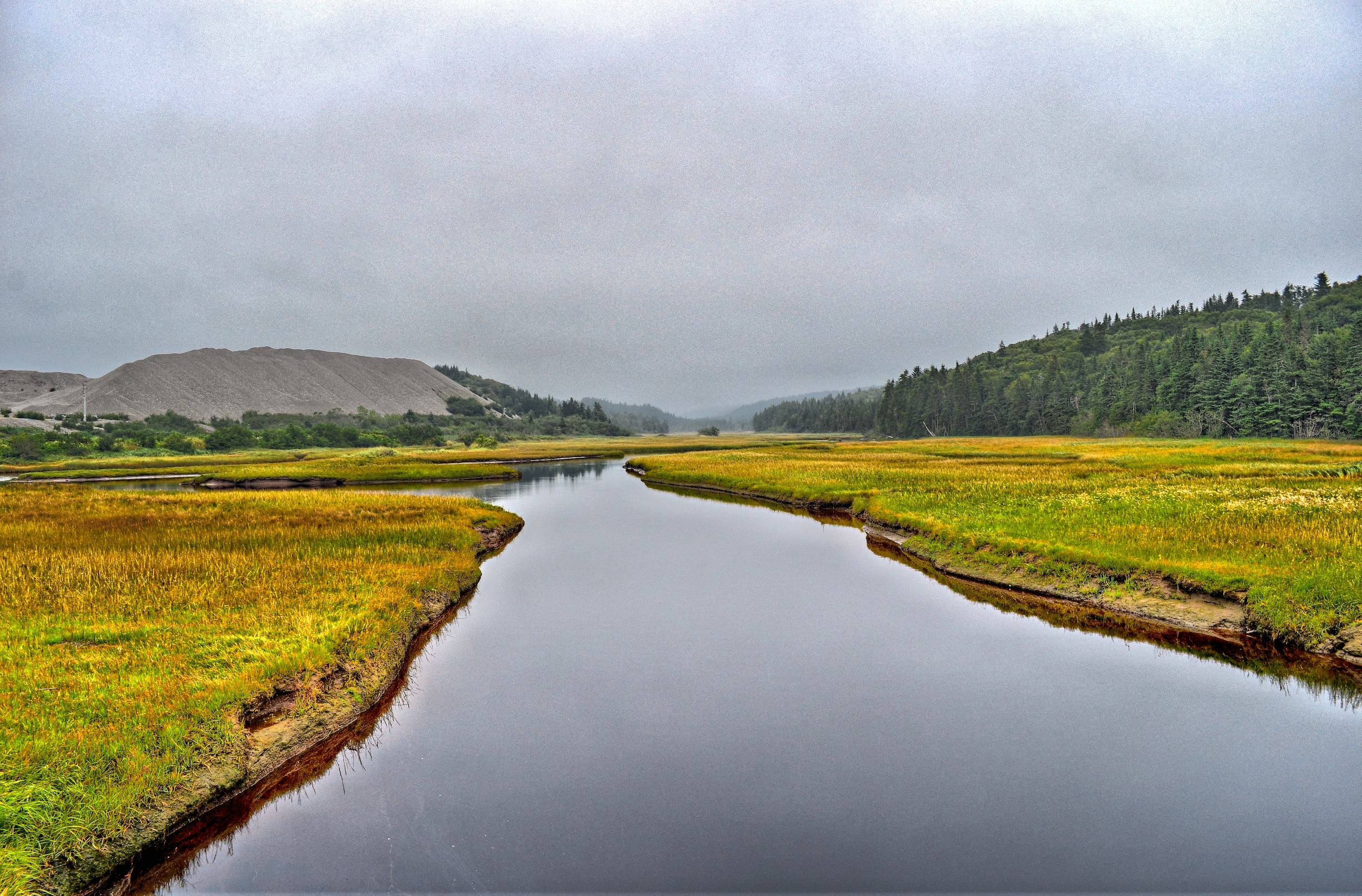
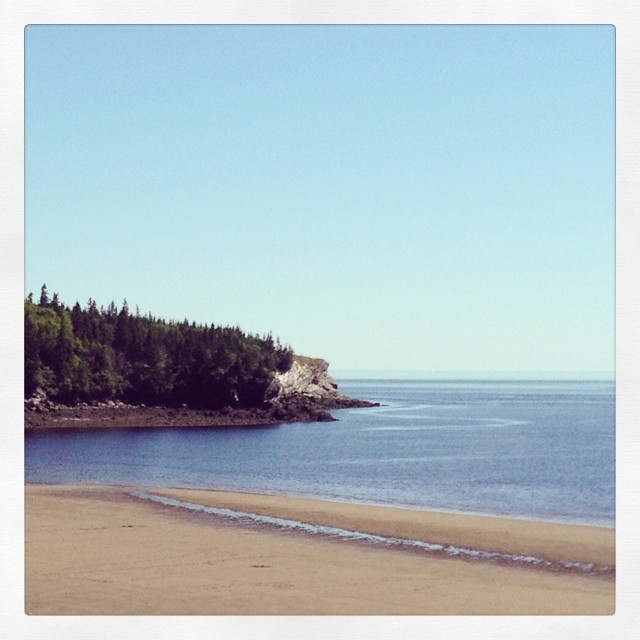
Mispec Beach
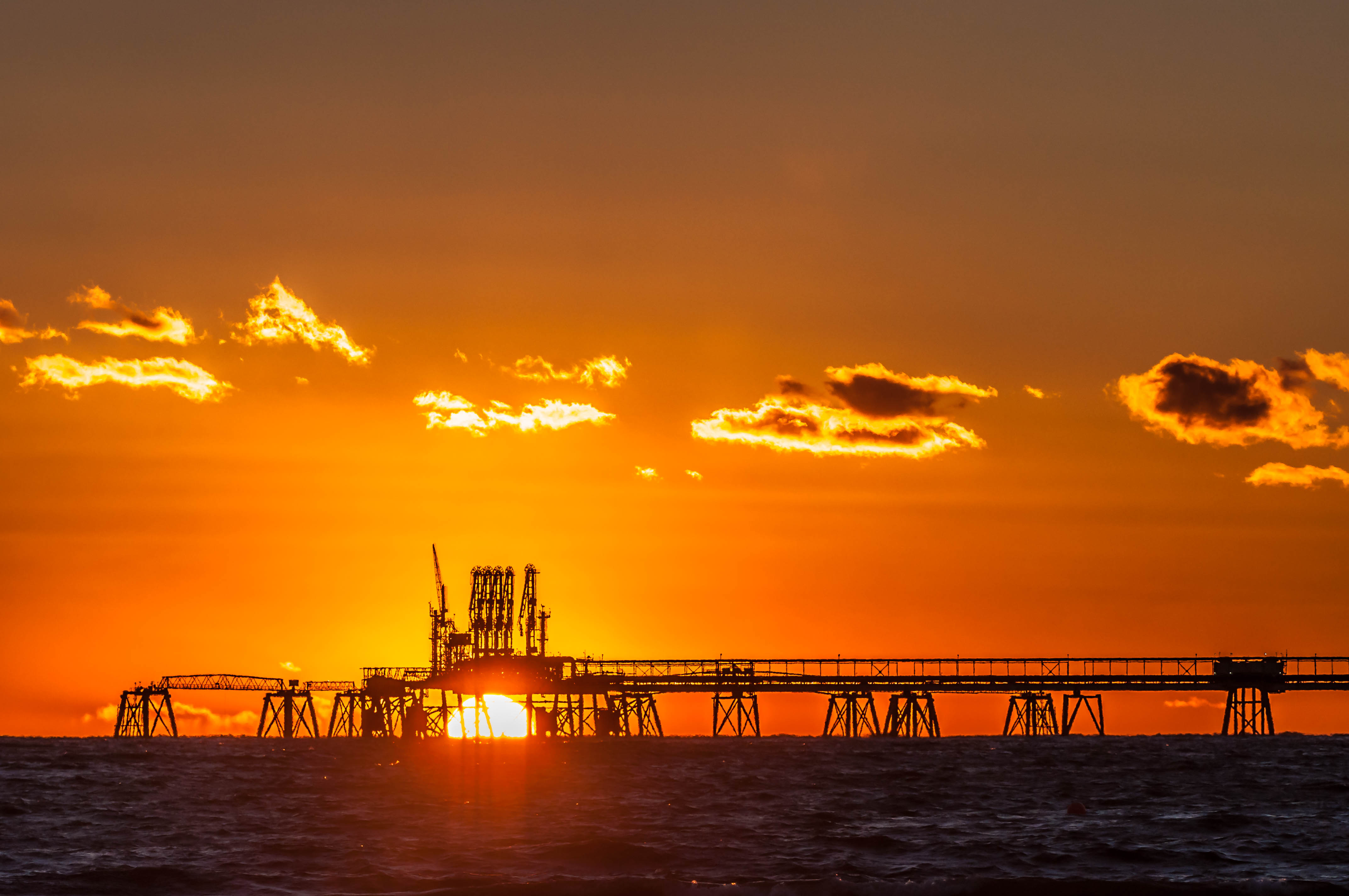
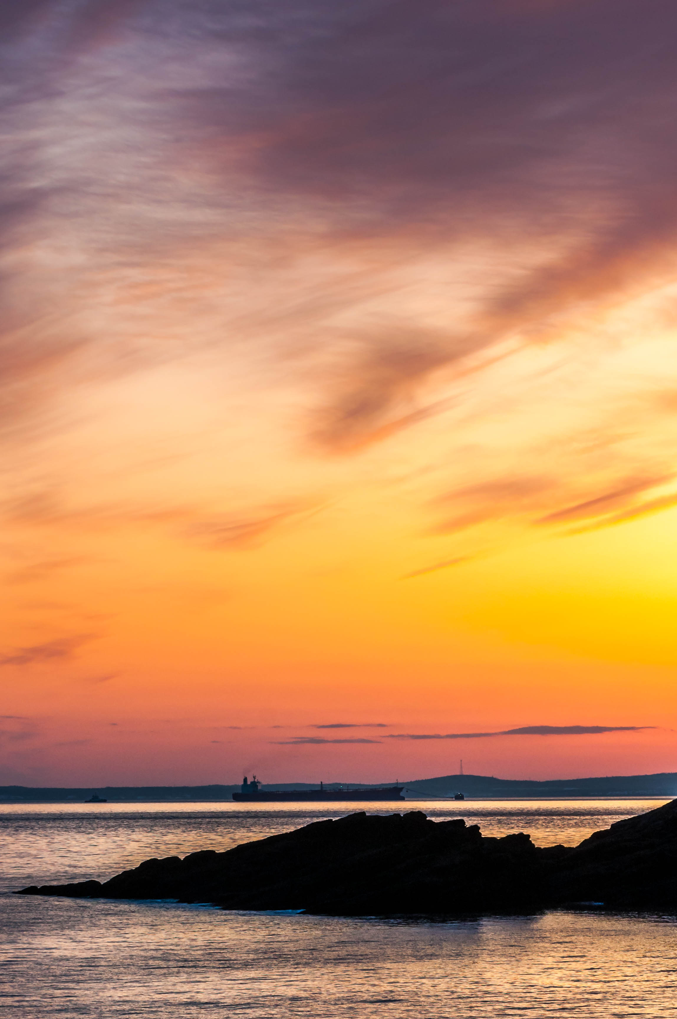
Mispec Beach - LNG vs sun
Sea shore at Mispec

Jump !

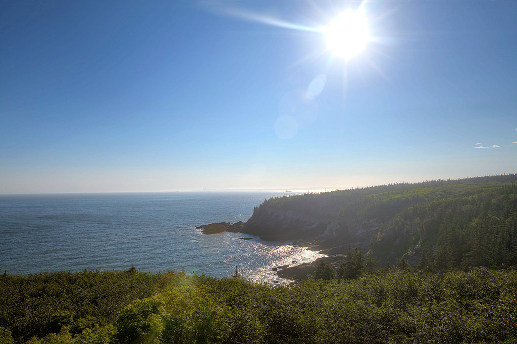
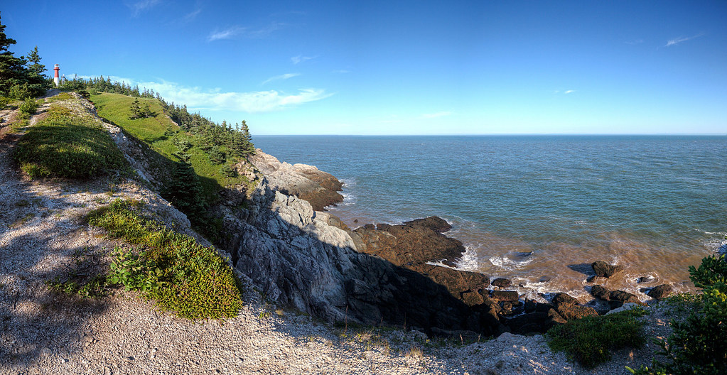
Cape Spencer

Cape Spencer

Cape Spencer
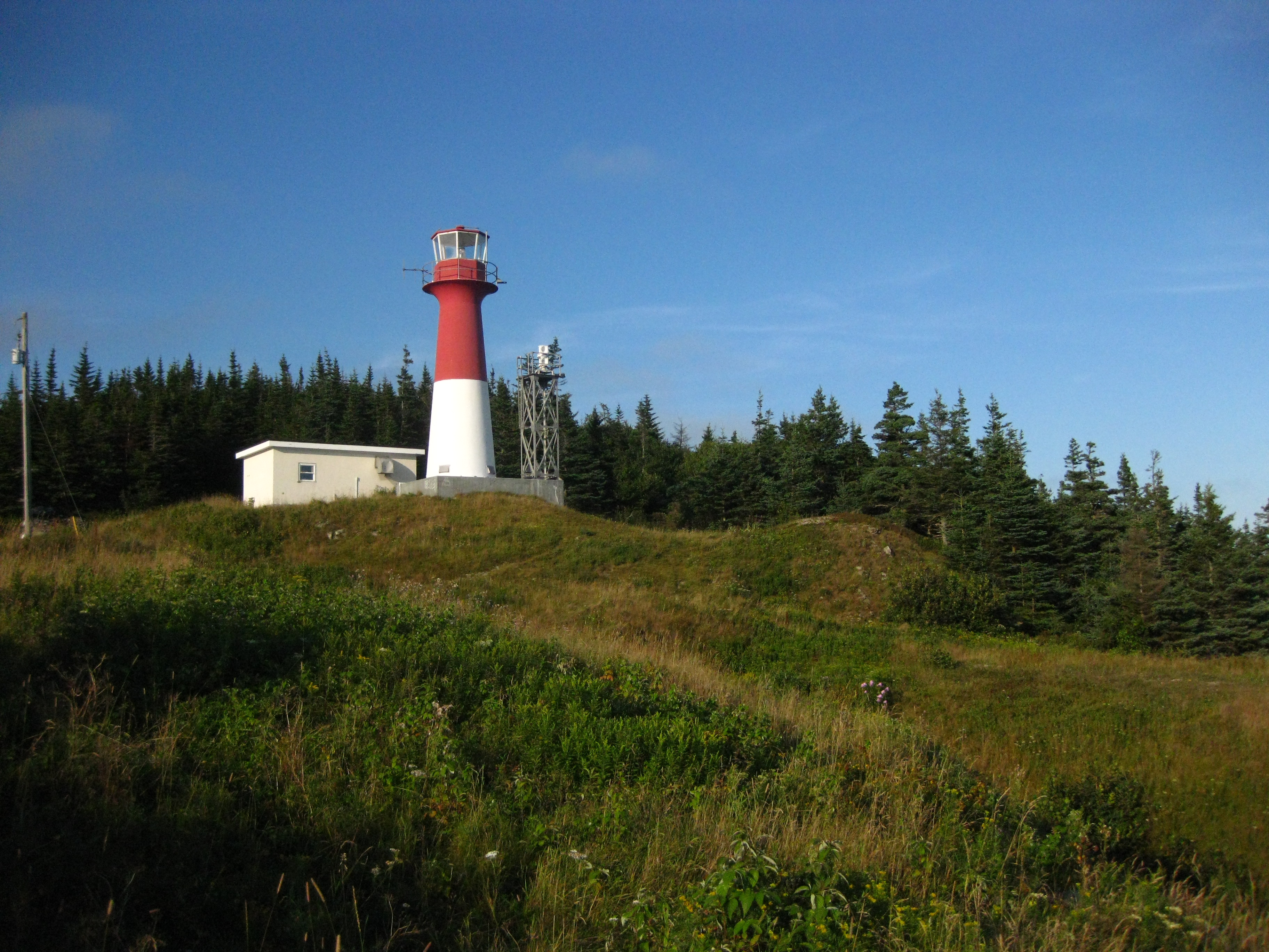
Cape Spencer Lighthouse
Cape Spencer(EXPLORE)
Mispec beach HDR 2

Mispec Beach HDR 1
DSC_9982_3_4Enhancer ES
Mispec Beach, Saint John, New Brunswick #explorecanada #shutterbugging #theviewfromhere #roadtrip #ocanada
Cape Spencer (2009-10-12)
Cape Spencer (2009-10-12)
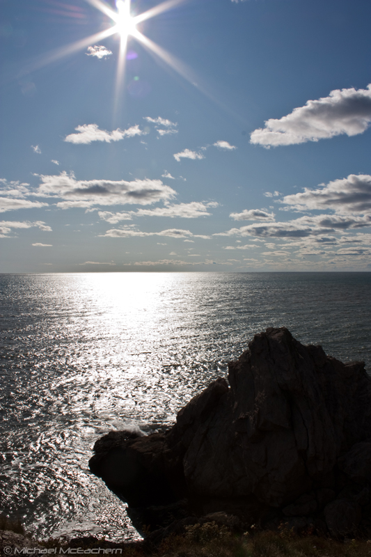
Bay of Fundy at Cape Spencer
Mispec Beach (2009-10-12)
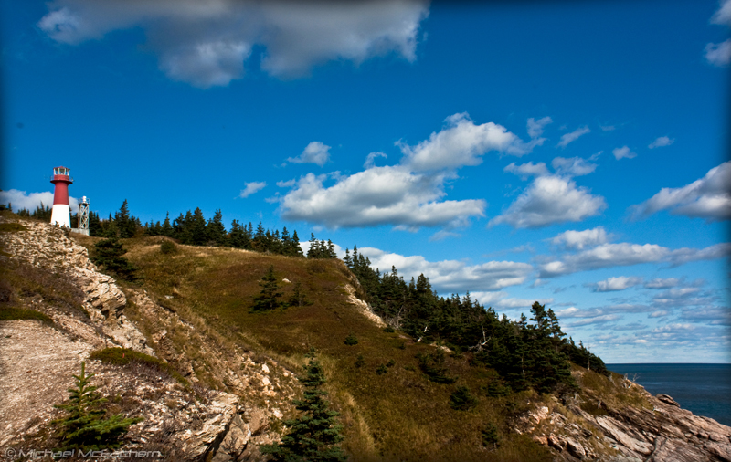
Cape Spencer lighthouse
Topographic Map of Saint John County, NB, Canada
Find elevation by address:

Places in Saint John County, NB, Canada:
Saint John
Simonds
Saint Martins
Saint Martins
Red Head Rd, Mispec, NB E2J 4W9, Canada
NB-, Gardner Creek, NB E2S 2B2, Canada
Fundy Trail Parkway
Prince Of Wales
Places near Saint John County, NB, Canada:
Simonds
11 Thomas Rd
Red Head Rd, Mispec, NB E2J 4W9, Canada
Latimore Lake Road
1497 Old Black River Rd
1497 Old Black River Rd
1497 Old Black River Rd
1497 Old Black River Rd
1497 Old Black River Rd
1497 Old Black River Rd
1441 Old Black River Rd
851 Old Black River Rd
Hickey Road
1070 Red Head Rd
48 Dorothea Dr
83 Josselyn Rd
83 Josselyn Rd
83 Josselyn Rd
Josselyn Road
4 Keystone Pl
Recent Searches:
- Elevation of Corso Fratelli Cairoli, 35, Macerata MC, Italy
- Elevation of Tallevast Rd, Sarasota, FL, USA
- Elevation of 4th St E, Sonoma, CA, USA
- Elevation of Black Hollow Rd, Pennsdale, PA, USA
- Elevation of Oakland Ave, Williamsport, PA, USA
- Elevation of Pedrógão Grande, Portugal
- Elevation of Klee Dr, Martinsburg, WV, USA
- Elevation of Via Roma, Pieranica CR, Italy
- Elevation of Tavkvetili Mountain, Georgia
- Elevation of Hartfords Bluff Cir, Mt Pleasant, SC, USA