Elevation of Saint-Herménégilde, QC J0B, Canada
Location: Canada > Québec > Coaticook Regional County Municipality >
Longitude: -71.622369
Latitude: 45.0752094
Elevation: 556m / 1824feet
Barometric Pressure: 95KPa
Elevation Map:
Satellite Map:
Related Photos:

Staggered truss bridge @ Canaan
Panoramic view of Parc Coaticock
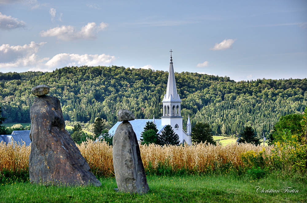
L'église St-Edmond de Coaticook
Church and view
M20 Triffid Nebula
Mont Hereford - Sentier pédestre Neil-Tillotson
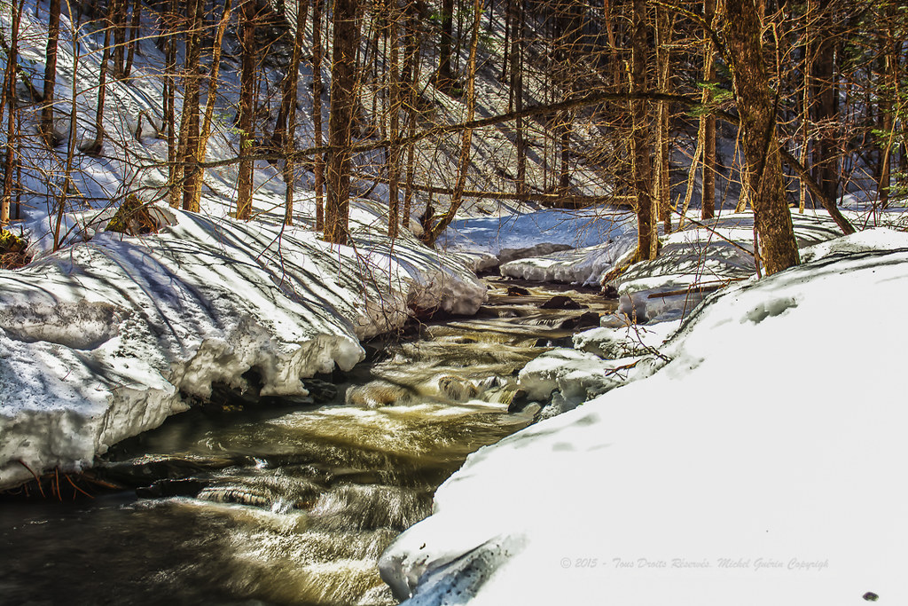
Coaticook River
DSC_1004_5_6_7_8P-HDR-RS.jpg
DSC_0961_2_3_4_5P-HDR-RS.jpg
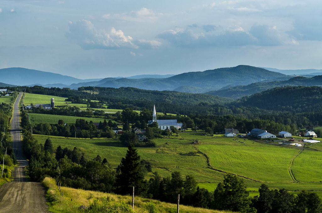
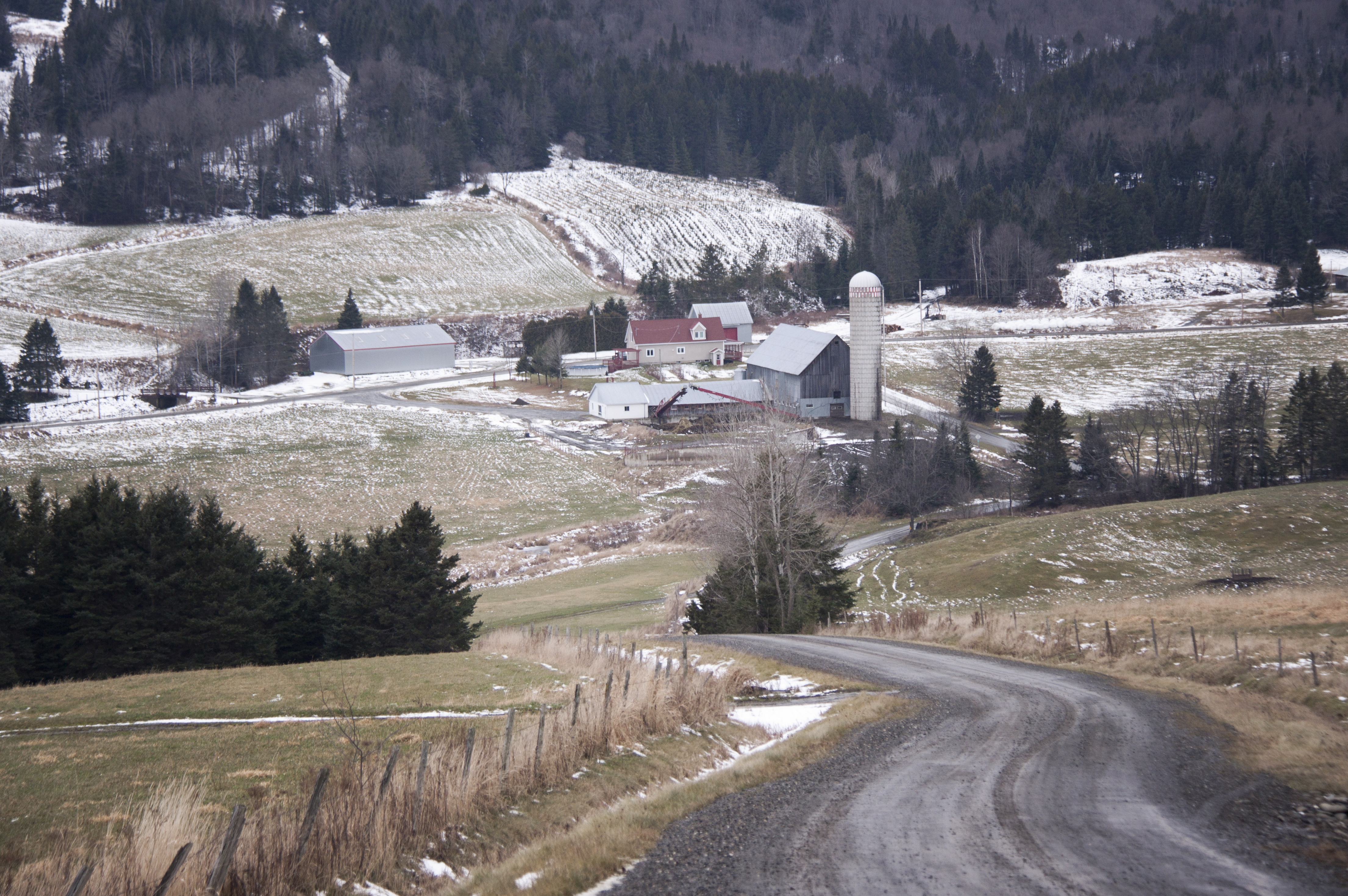
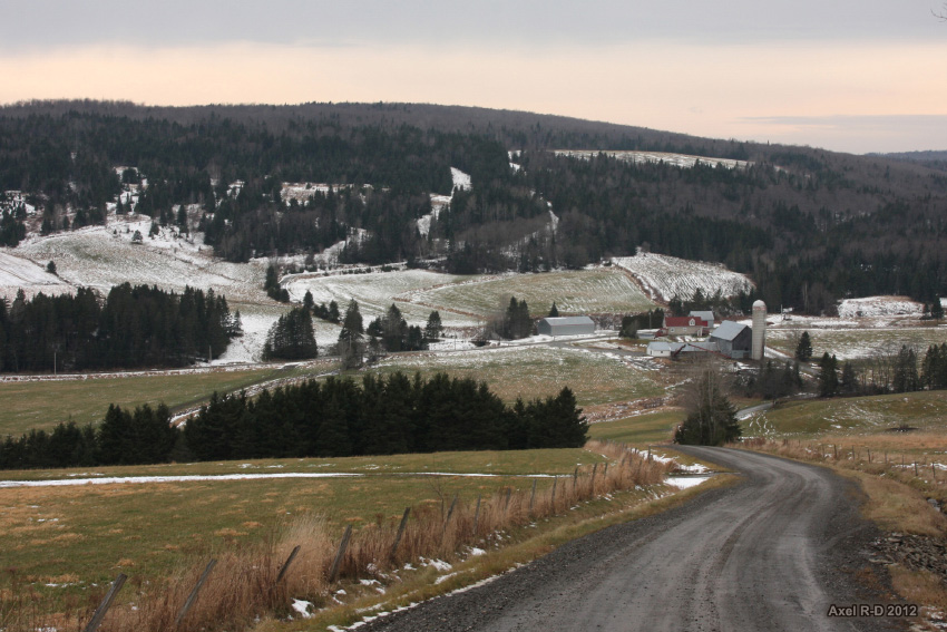
St-Venant-De-Paquette

DSC_0873_4_5_6P-HDR-RS.jpg
150713 Route 253 à St-Venant-de-Paquette -1179
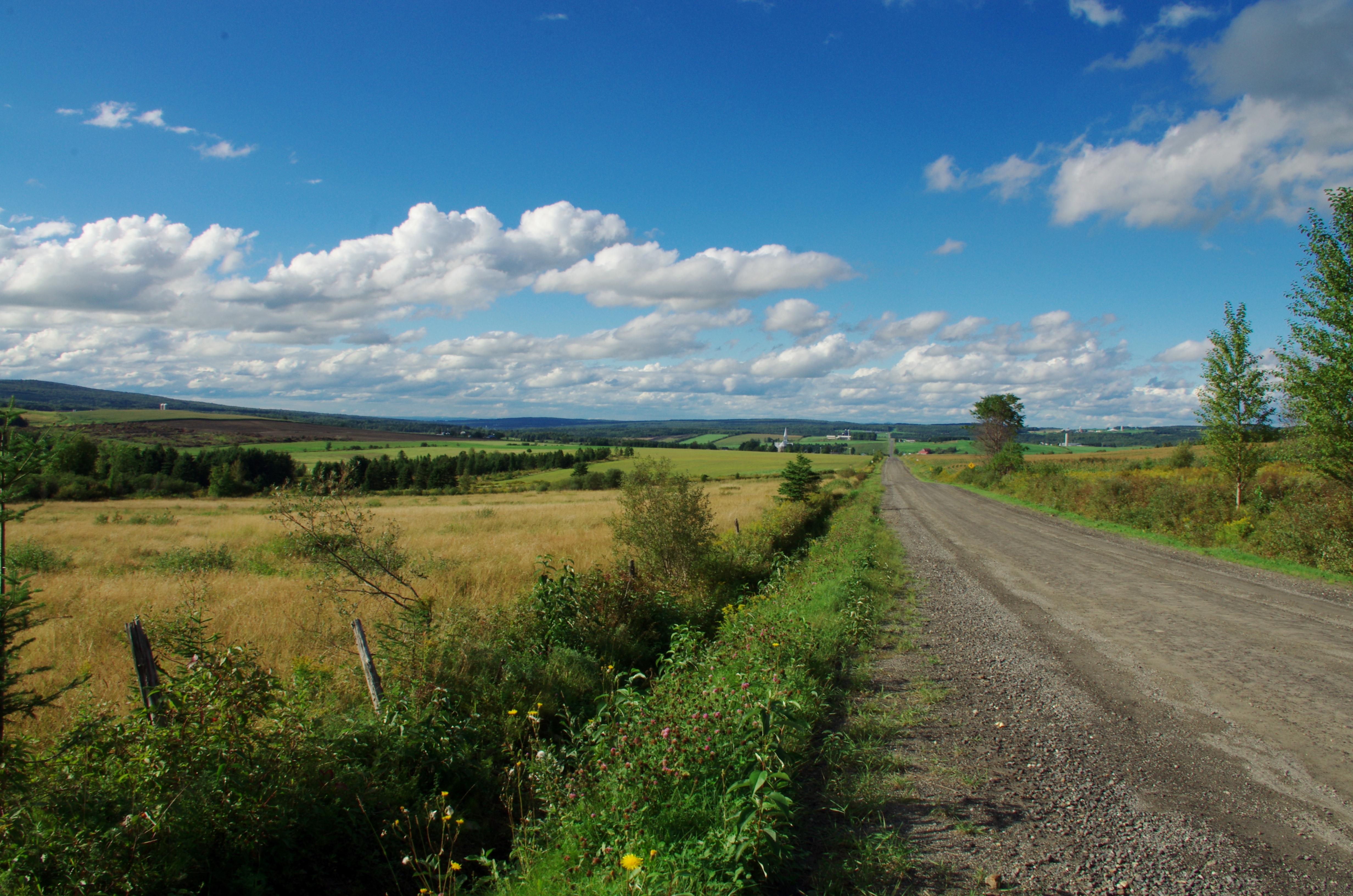
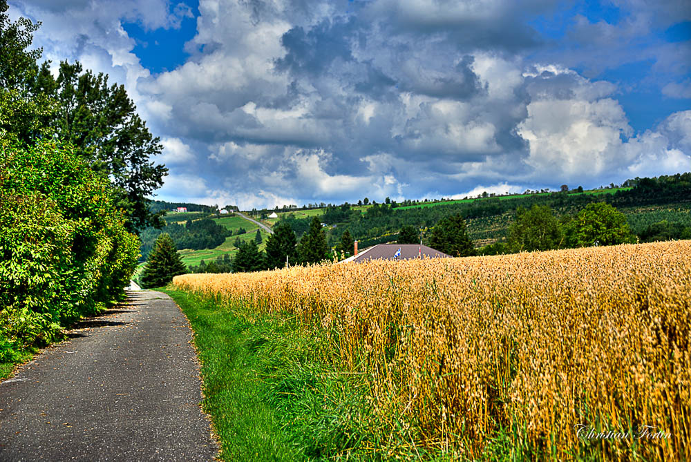
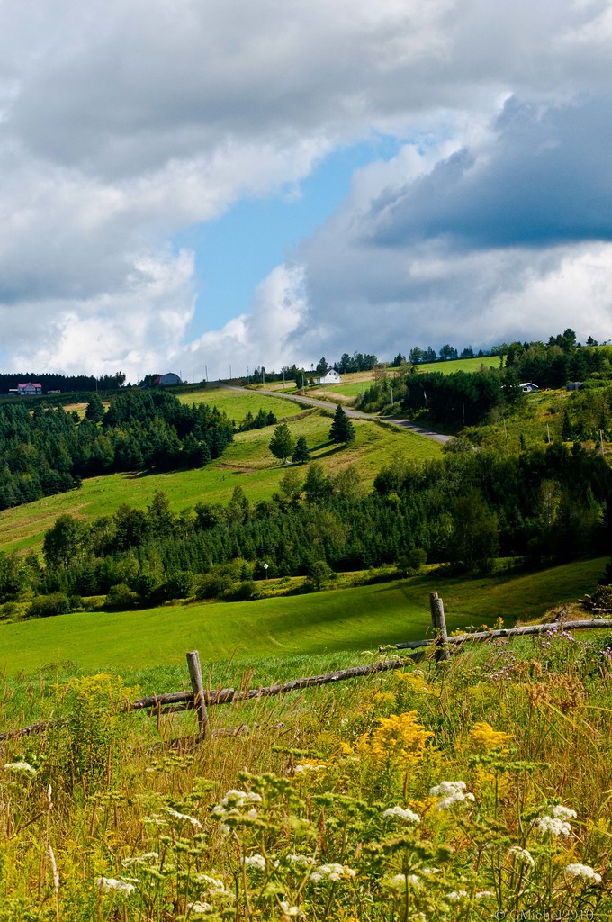
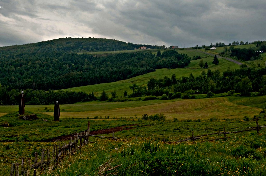
Coutry Road
DSC_1091_2_3_4_5P-HDR-RS.jpg
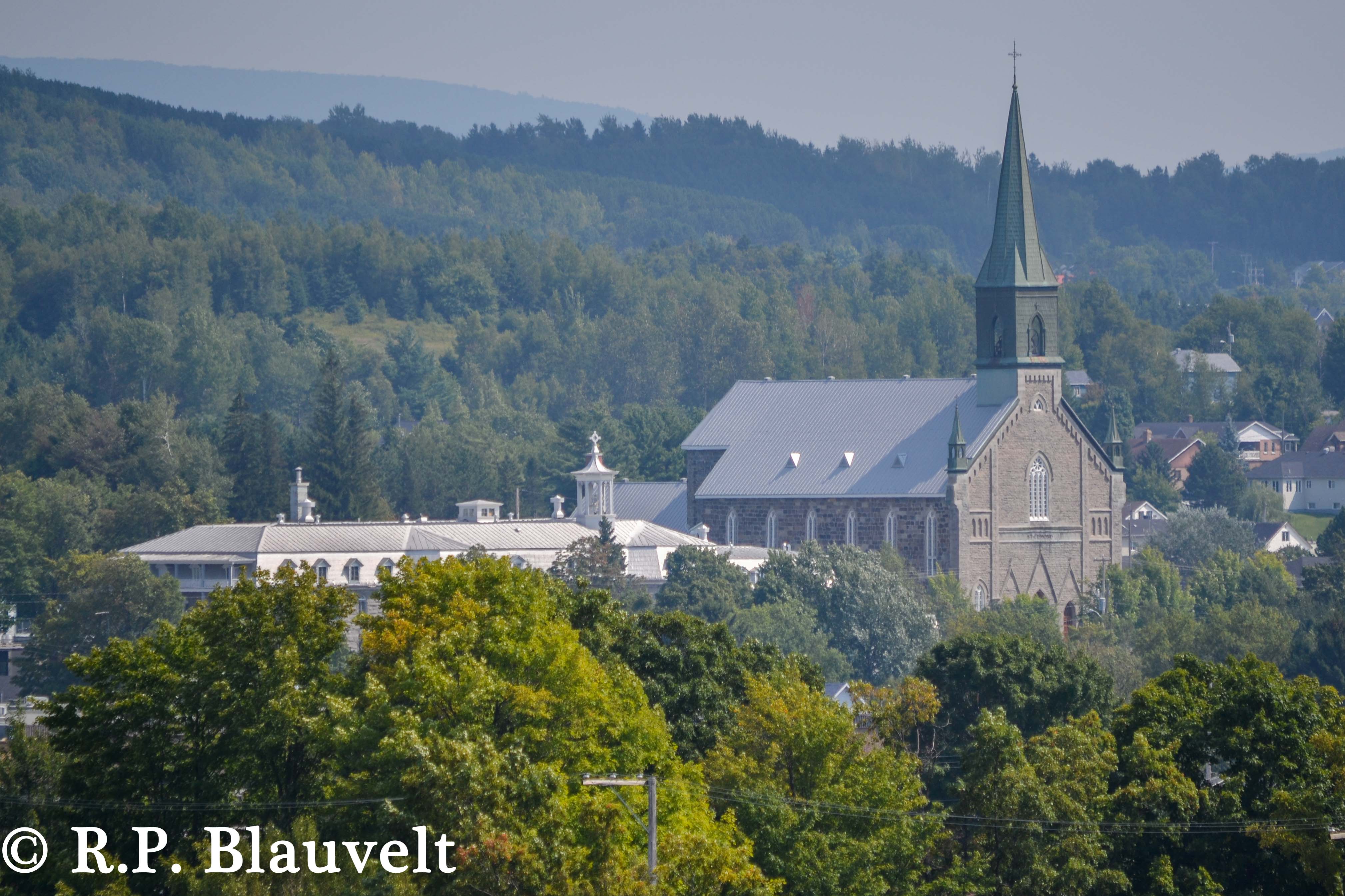
St. Edmund's, Coaticook
Atelier de photographie
Saint-Venant-de Paquete
Saint-Venant-de Paquete
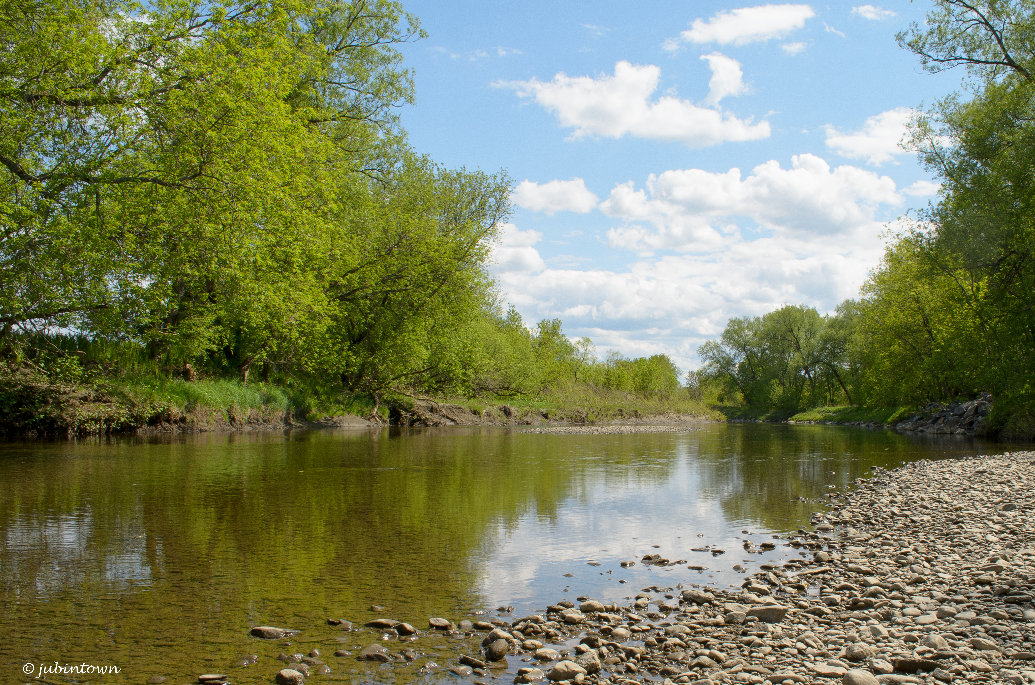
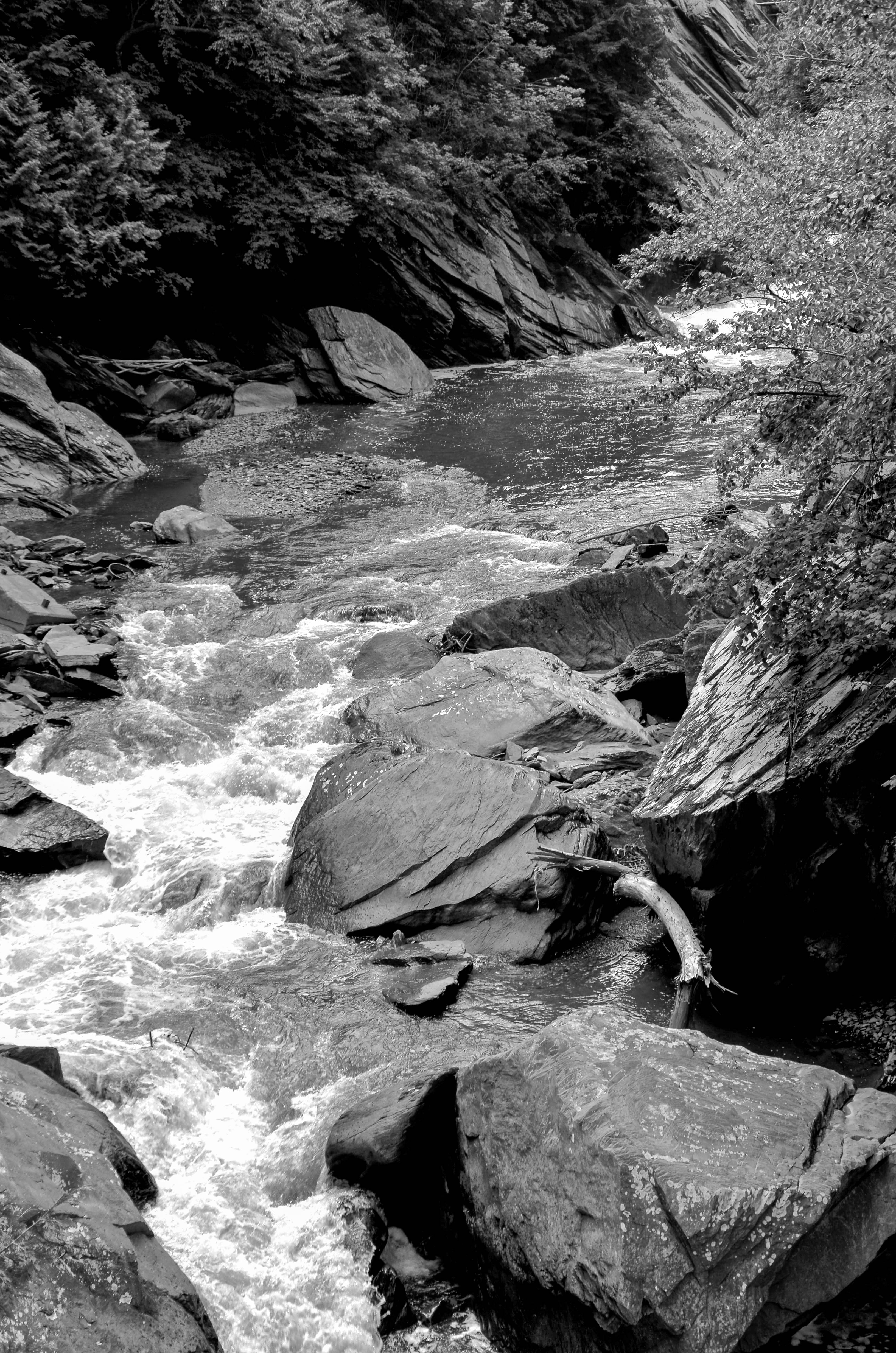
rivière Coaticook

Saint-Venant-de Paquete

Canada Goosse / Bernache du Canada

20111006-202328_P1020156
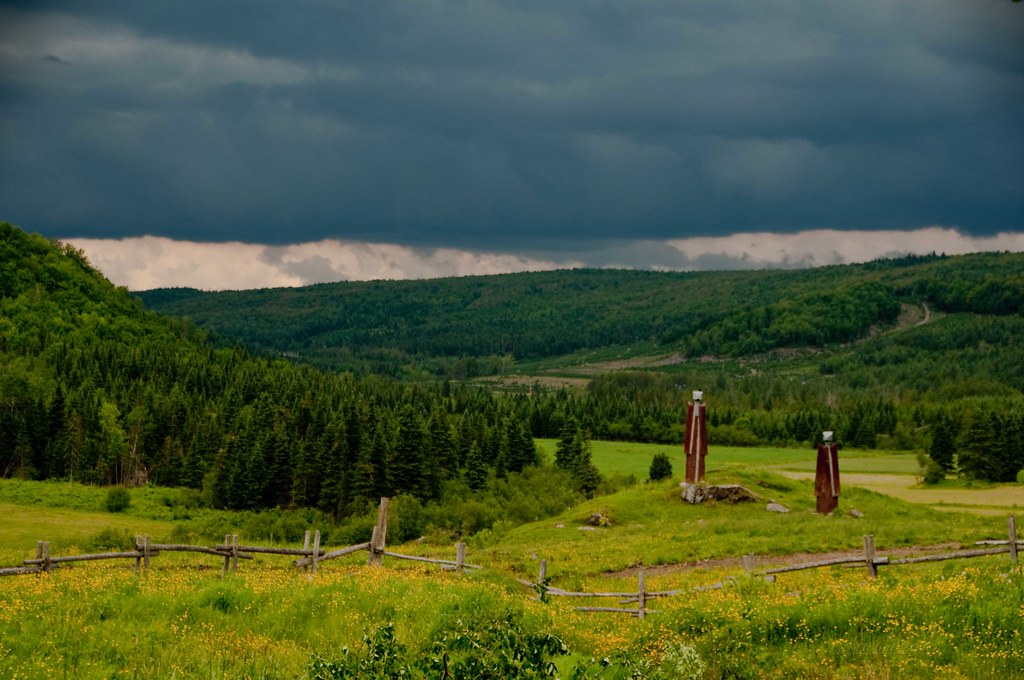
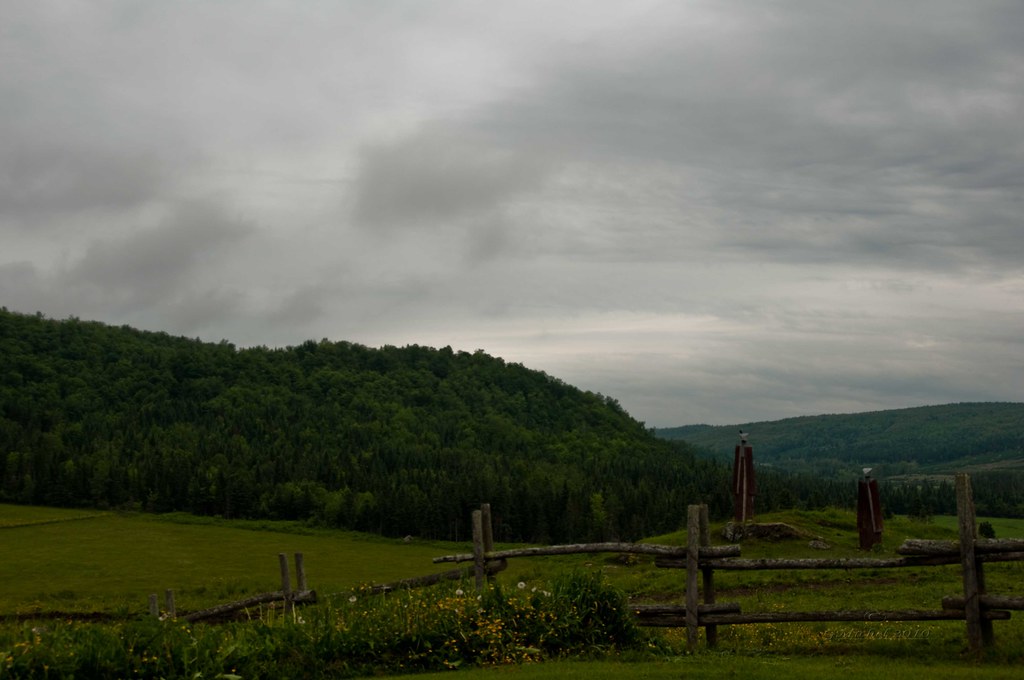
Remote road near Saint-Venant-de-Paquette
East Hereford, QC
Saint-Venant-de Paquete
Topographic Map of Saint-Herménégilde, QC J0B, Canada
Find elevation by address:

Places in Saint-Herménégilde, QC J0B, Canada:
Places near Saint-Herménégilde, QC J0B, Canada:
Saint-herménégilde
Lac Wallace
VT-, Canaan, VT, USA
Coaticook Regional County Municipality
10e Rang, Saint-Herménégilde, QC J0B 2W0, Canada
East Hereford
329 Chemin Des Côtes
East Hereford
390 Rue Principale
Stewartstown
Saint-venant-de-paquette
8 Rue du Village, East Hereford, QC J0B 1S0, Canada
Paquette
Saint-malo
159 Rue Principale
QC-, Saint-Malo, QC J0B 2Y0, Canada
Saint-malo
Martinville
Rue Principale E, Martinville, QC J0B 2A0, Canada
Martinville
Recent Searches:
- Elevation of Corso Fratelli Cairoli, 35, Macerata MC, Italy
- Elevation of Tallevast Rd, Sarasota, FL, USA
- Elevation of 4th St E, Sonoma, CA, USA
- Elevation of Black Hollow Rd, Pennsdale, PA, USA
- Elevation of Oakland Ave, Williamsport, PA, USA
- Elevation of Pedrógão Grande, Portugal
- Elevation of Klee Dr, Martinsburg, WV, USA
- Elevation of Via Roma, Pieranica CR, Italy
- Elevation of Tavkvetili Mountain, Georgia
- Elevation of Hartfords Bluff Cir, Mt Pleasant, SC, USA