Elevation map of Saint George, St George QLD, Australia
Location: Australia > Queensland >
Longitude: 148.586708
Latitude: -28.042269
Elevation: 201m / 659feet
Barometric Pressure: 99KPa
Elevation Map:
Satellite Map:
Related Photos:

Family portrait of storekeeper and his wife at St. George

Edith and Bertram Tovey at their home in St George

Chevrolet truck at Ingaby, St George, 1927
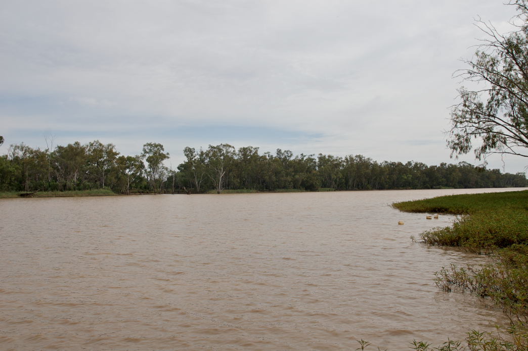
Balonnie River

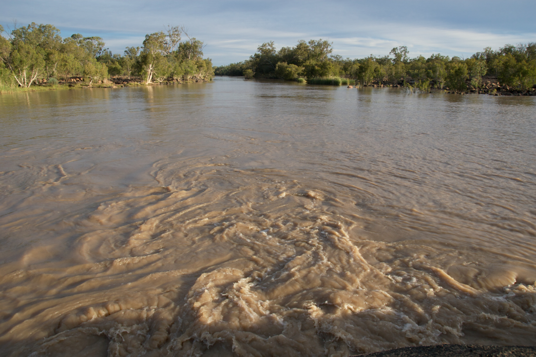
St George Flood 2011-01-07_076
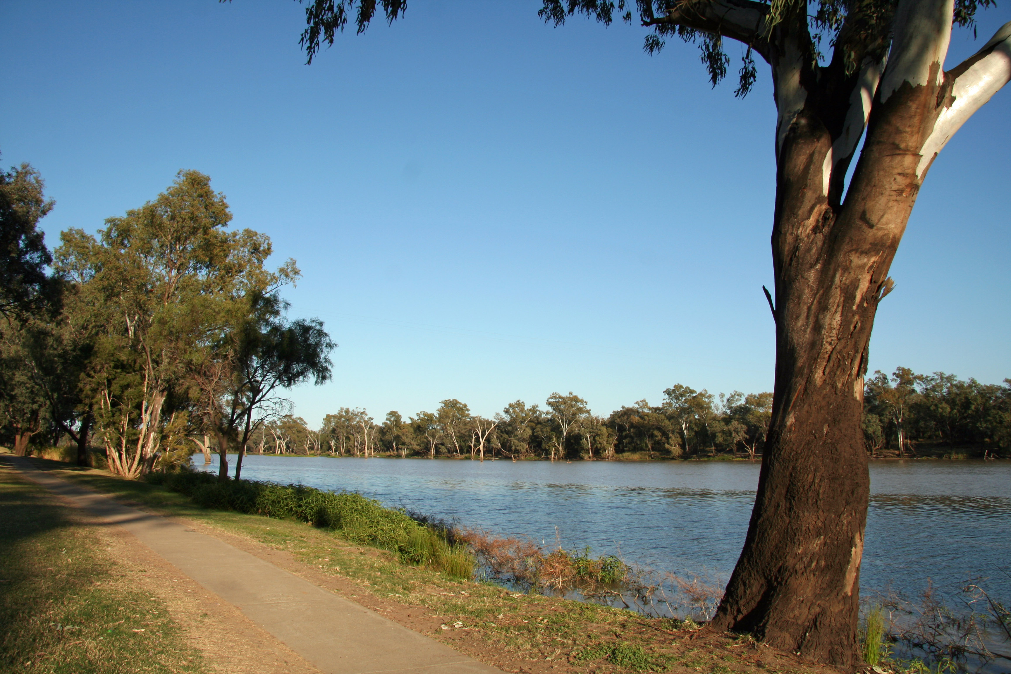
20130905_1299 Balonne River at St George
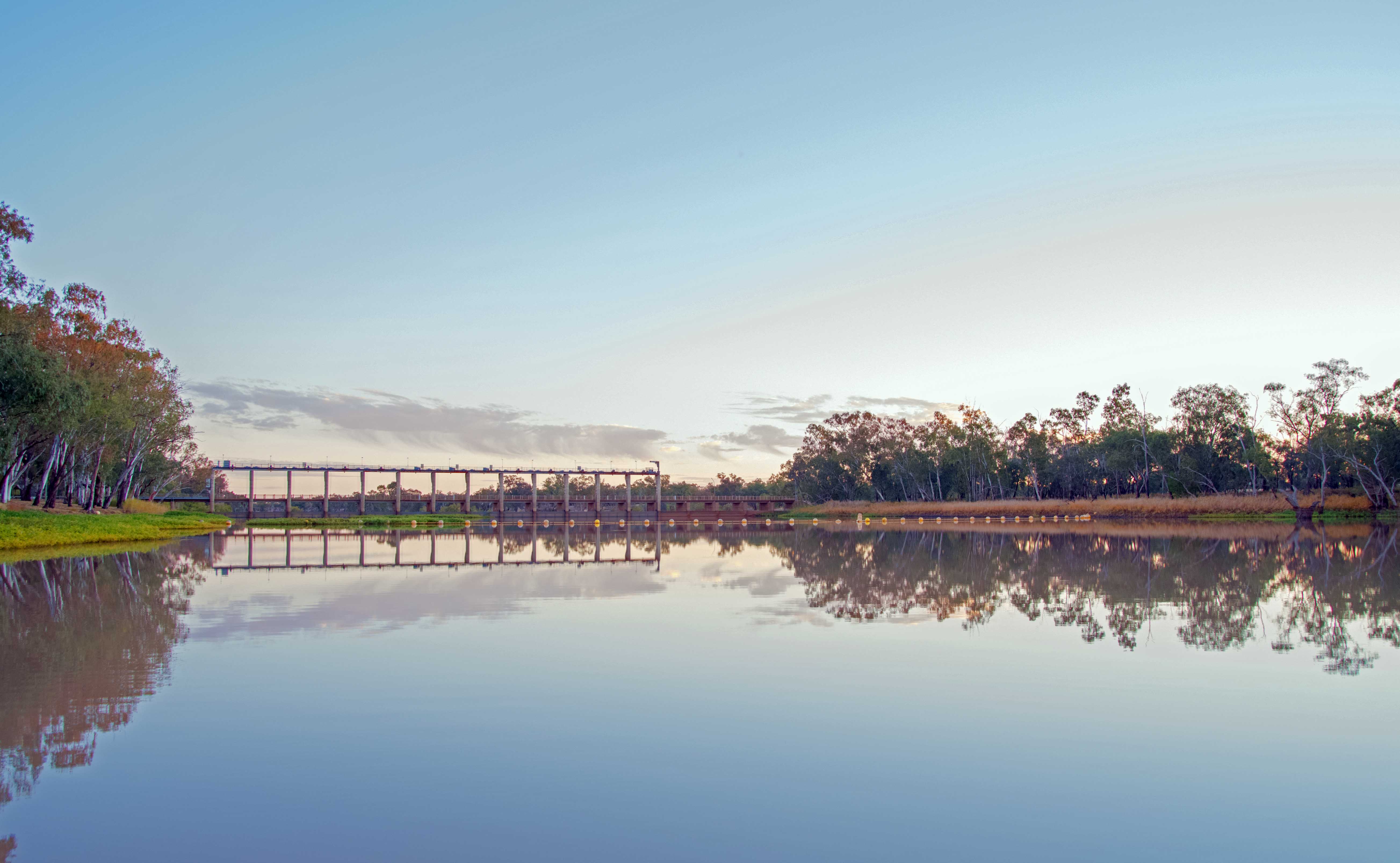
E.J. Beardmore Dam

E.J. Beardmore Dam
E.J. Beardmore Dam
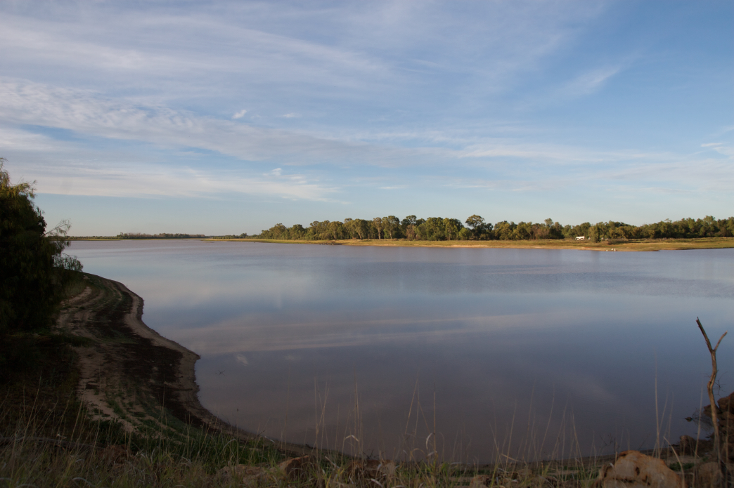
st george
st george

St George Flood 2011-01-07_097
st george

St George Flood 2011-01-02_004

St George Flood 2011-01-02_001

St George Flood 2011-01-01_001
Topographic Map of Saint George, St George QLD, Australia
Find elevation by address:

Places near Saint George, St George QLD, Australia:
Recent Searches:
- Elevation of Corso Fratelli Cairoli, 35, Macerata MC, Italy
- Elevation of Tallevast Rd, Sarasota, FL, USA
- Elevation of 4th St E, Sonoma, CA, USA
- Elevation of Black Hollow Rd, Pennsdale, PA, USA
- Elevation of Oakland Ave, Williamsport, PA, USA
- Elevation of Pedrógão Grande, Portugal
- Elevation of Klee Dr, Martinsburg, WV, USA
- Elevation of Via Roma, Pieranica CR, Italy
- Elevation of Tavkvetili Mountain, Georgia
- Elevation of Hartfords Bluff Cir, Mt Pleasant, SC, USA