Elevation of Saint-Donat, QC J0T, Canada
Location: Canada > Québec > Matawinie Regional County Municipality >
Longitude: -74.266159
Latitude: 46.3182025
Elevation: 423m / 1388feet
Barometric Pressure: 96KPa
Elevation Map:
Satellite Map:
Related Photos:
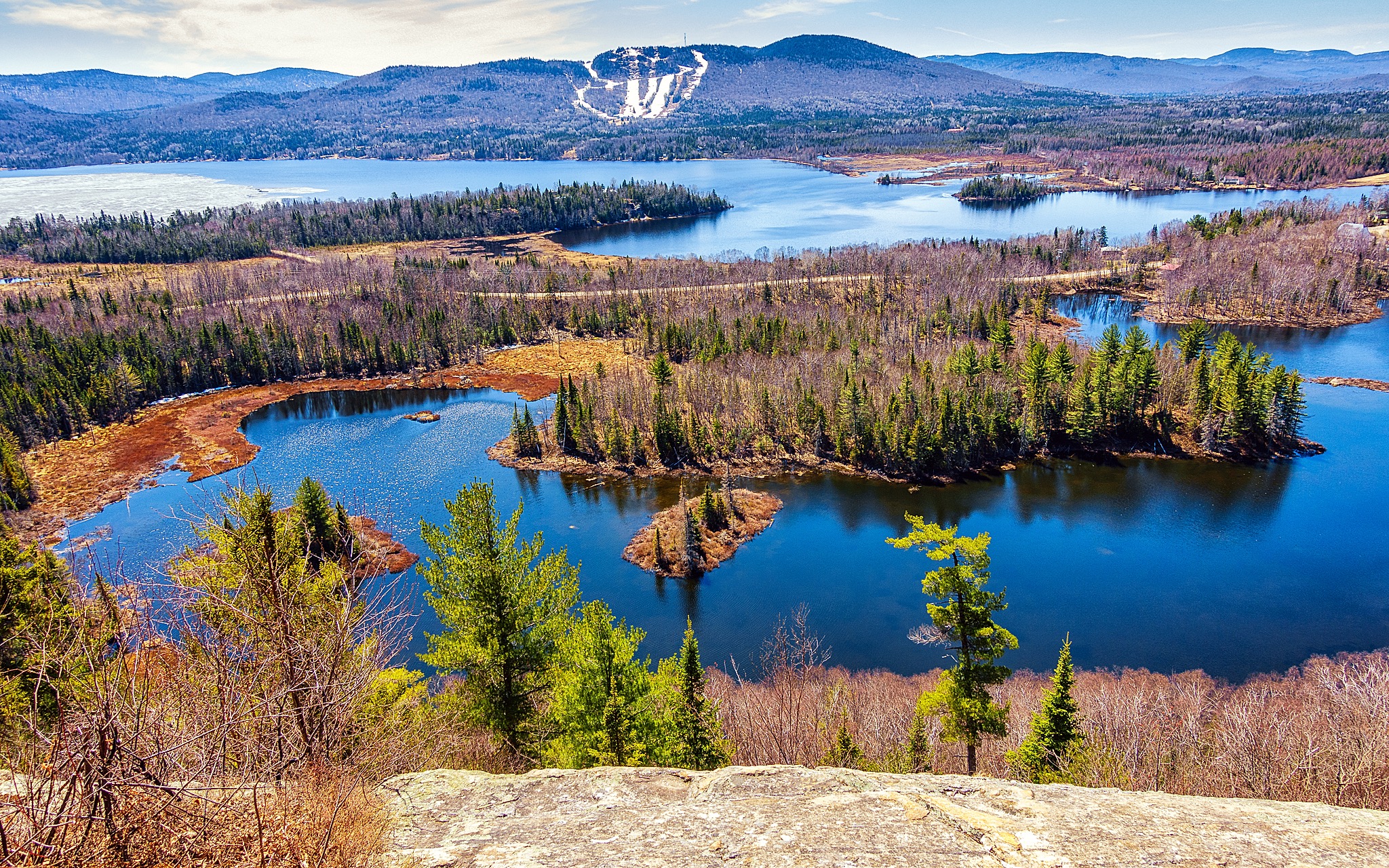
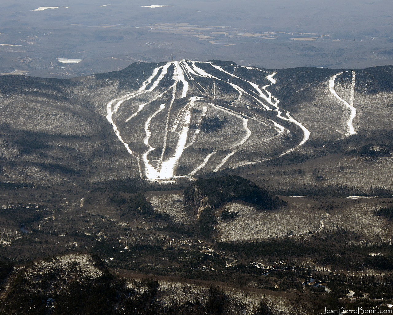
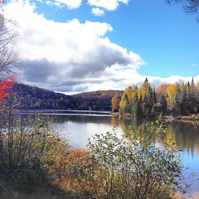
Spring panorama
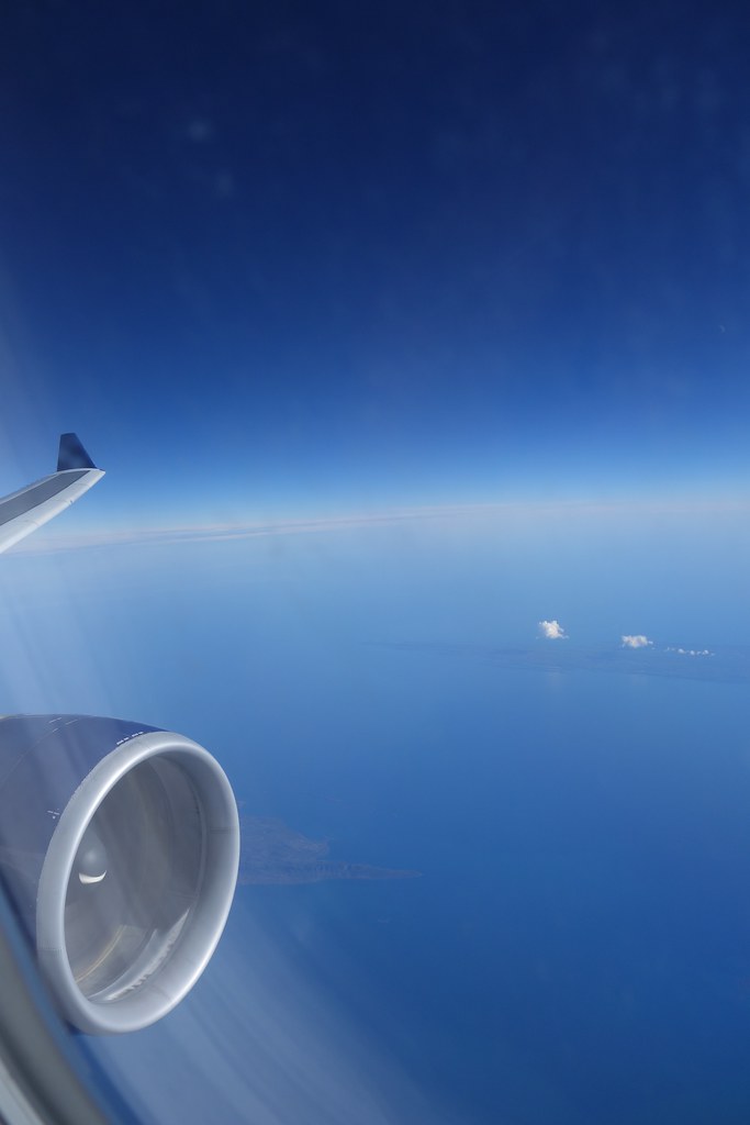
Over Canada.

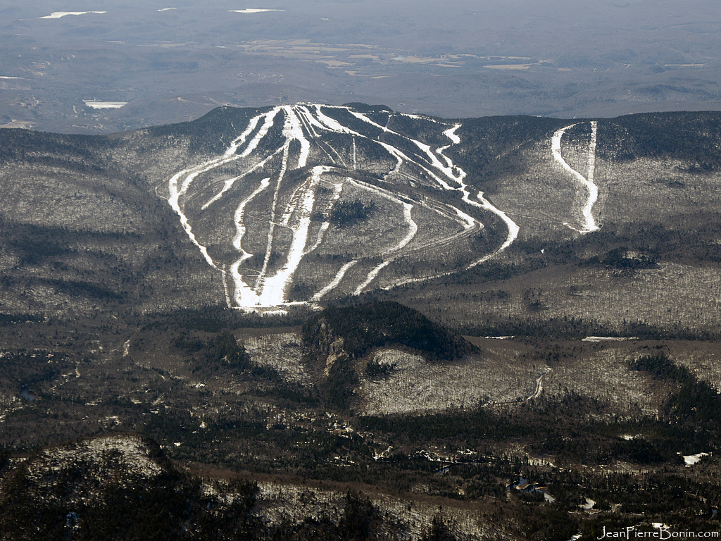
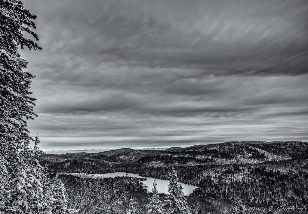
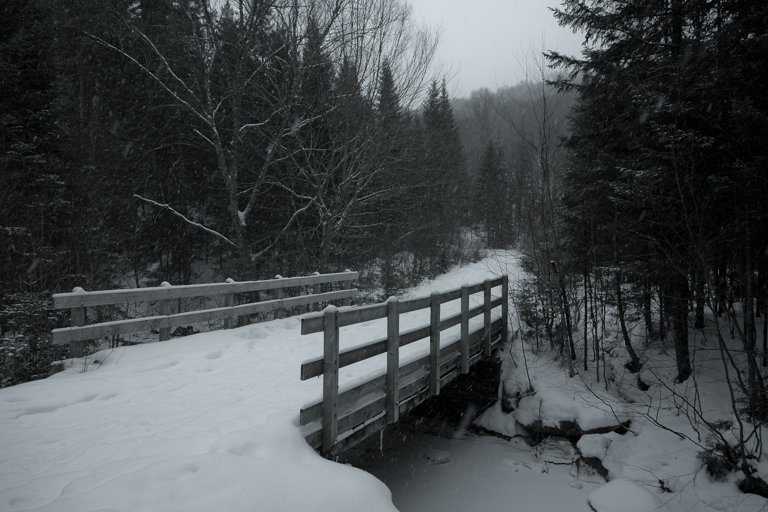
Winter view
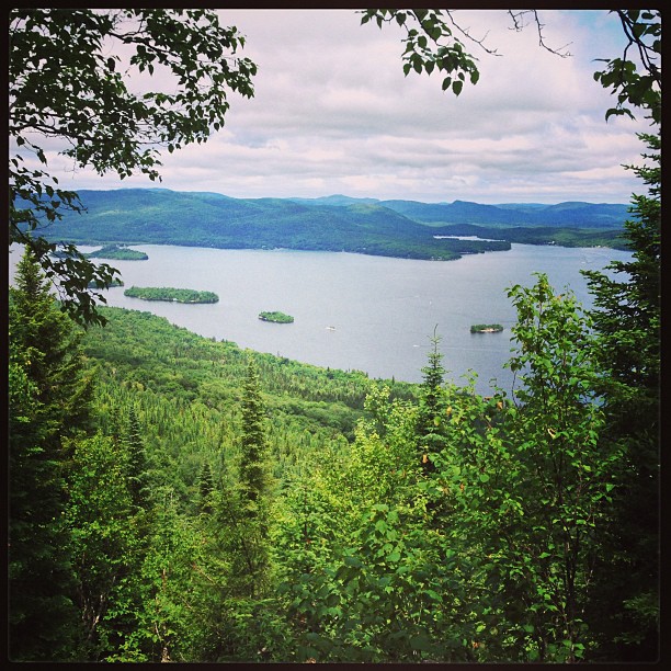
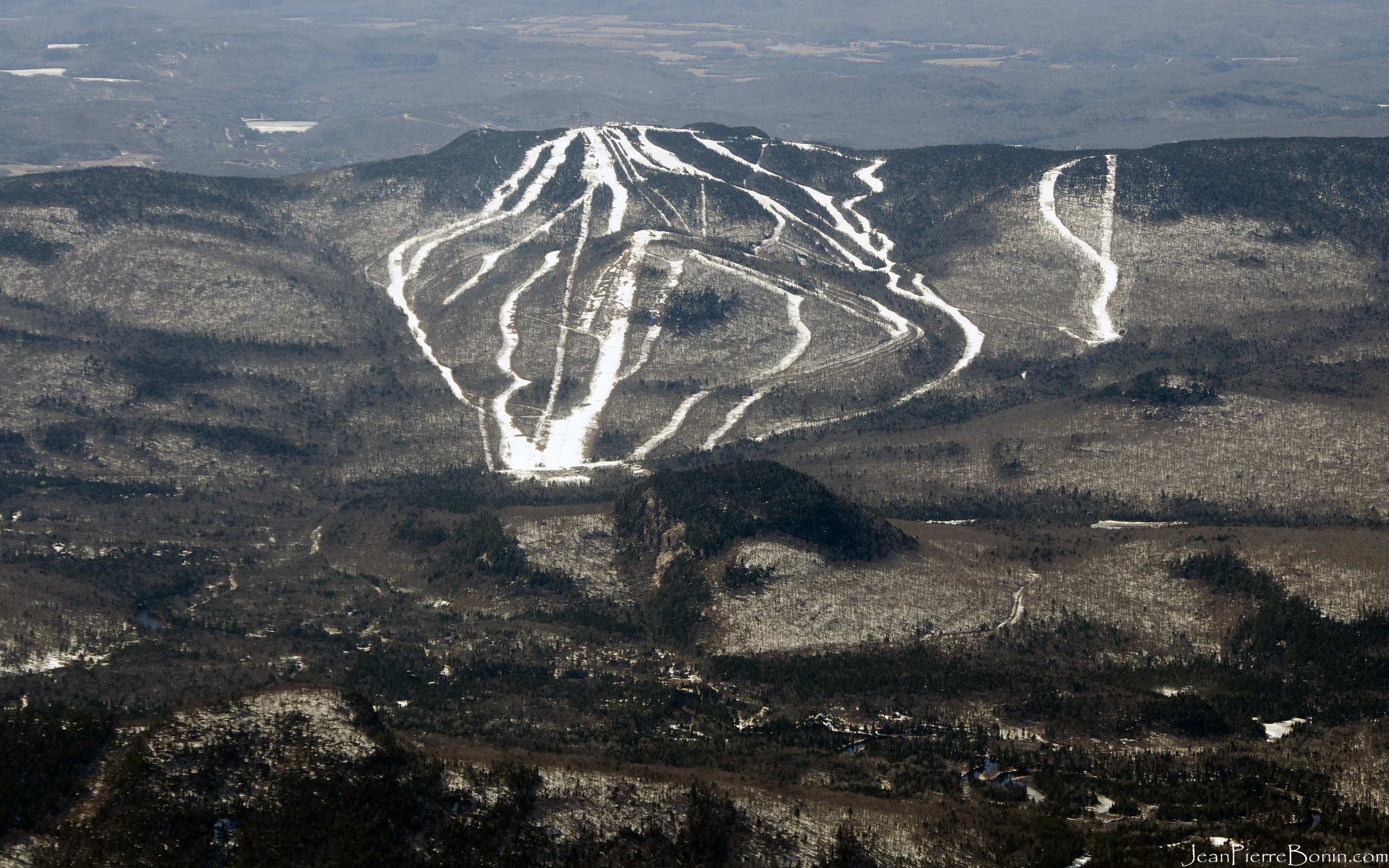
View from Mont Ouareau
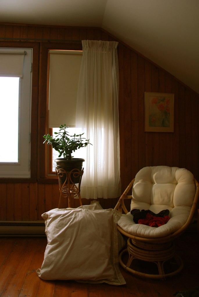
A room with a view
SOTA VE2LR-007 Mont Garceau 2012-05-27 049

view from the balcony
SOTA VE2LR-007 Mont Garceau 2012-05-27 031
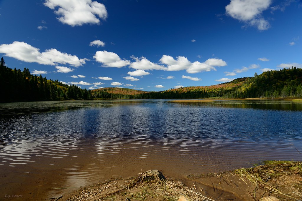
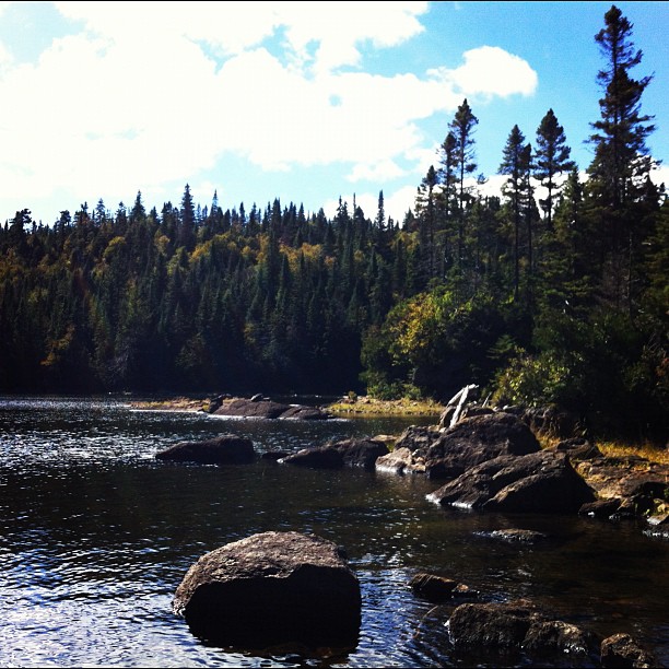
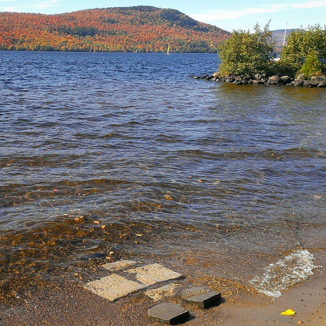
view of the lake
1920x1080 Mont-Tremblant Face Nord DSC_8129
2560x1600 Mont-Tremblant Face Nord DSC_8129
1280x1024 Mont-Tremblant Face Nord DSC_8129
1024x768 Mont-Tremblant Face Nord DSC_8129
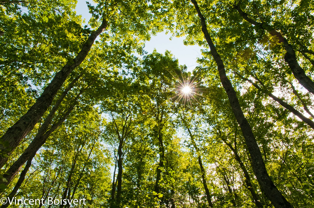
Sunshine through the forest
Lac Aux Rats
Lake Beside Campsite
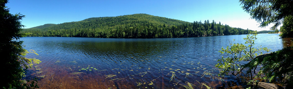
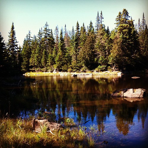
Lac Ouareau
Lac Ouareau
P1150068_FF.jpg

Panorama du haut du Mont Sourire (475 m)
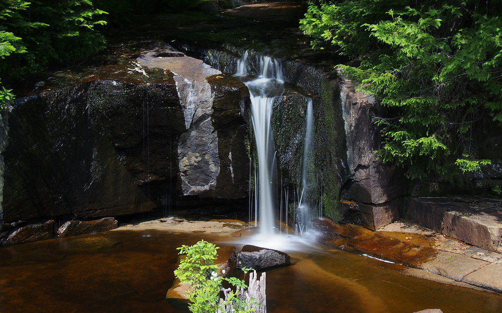
Petite cascade
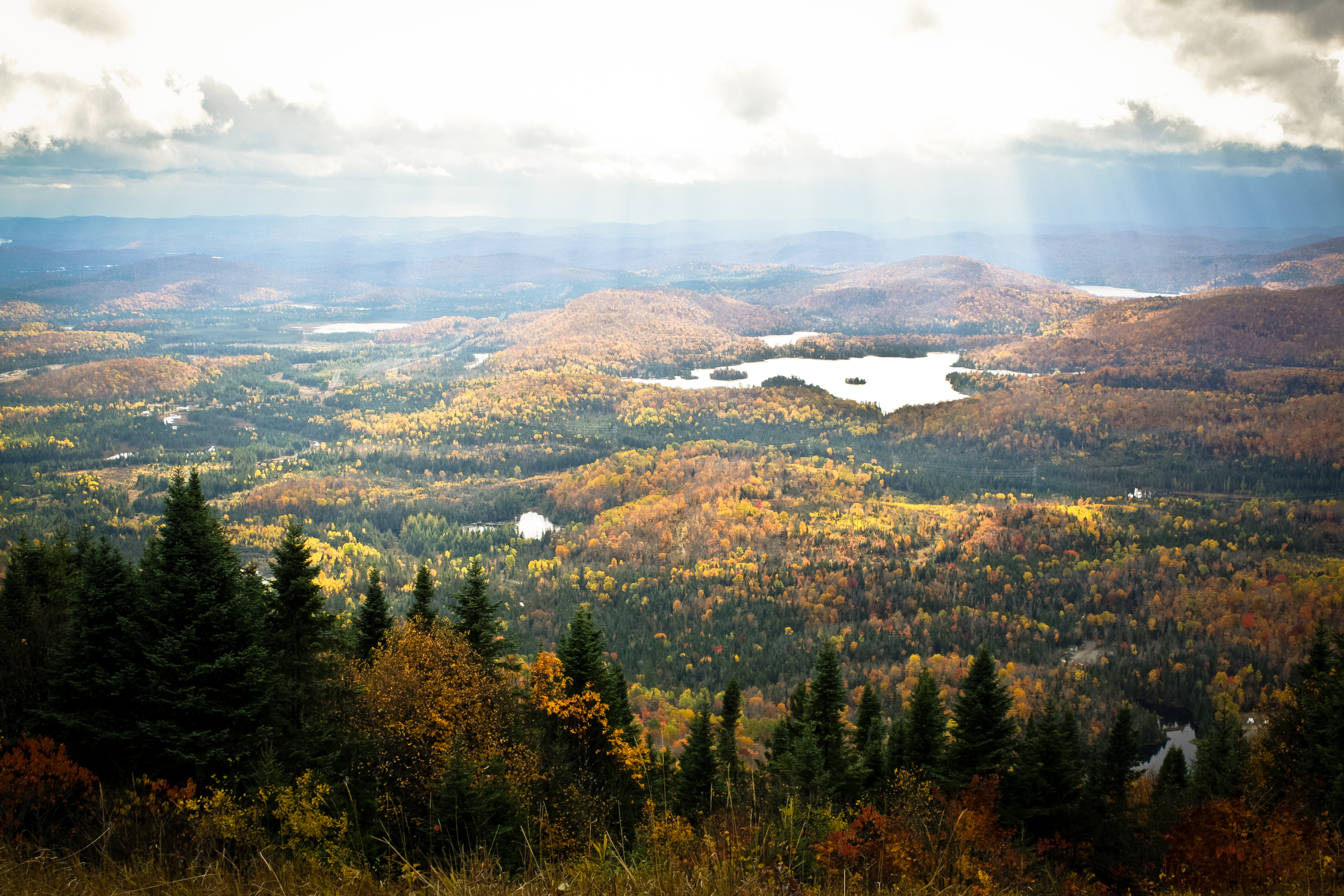
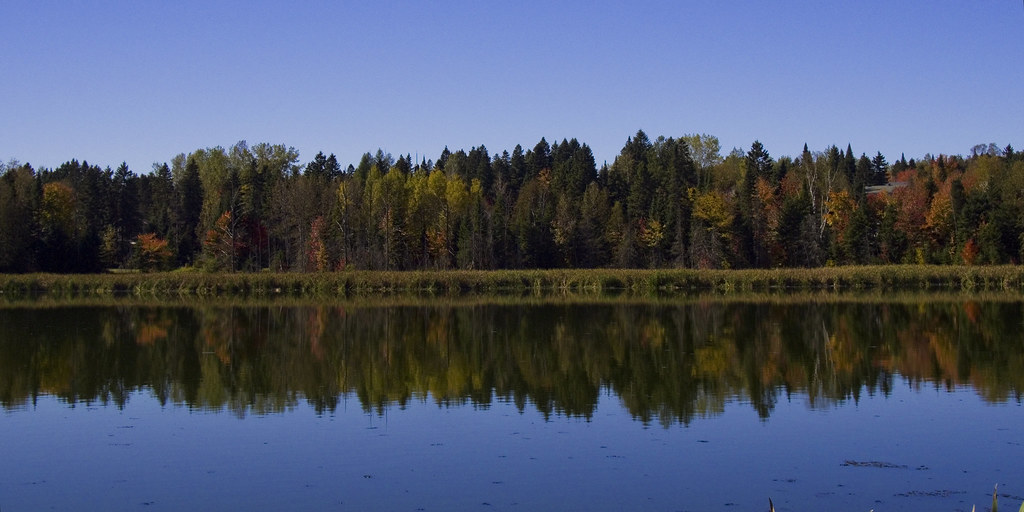
Automn in Canada
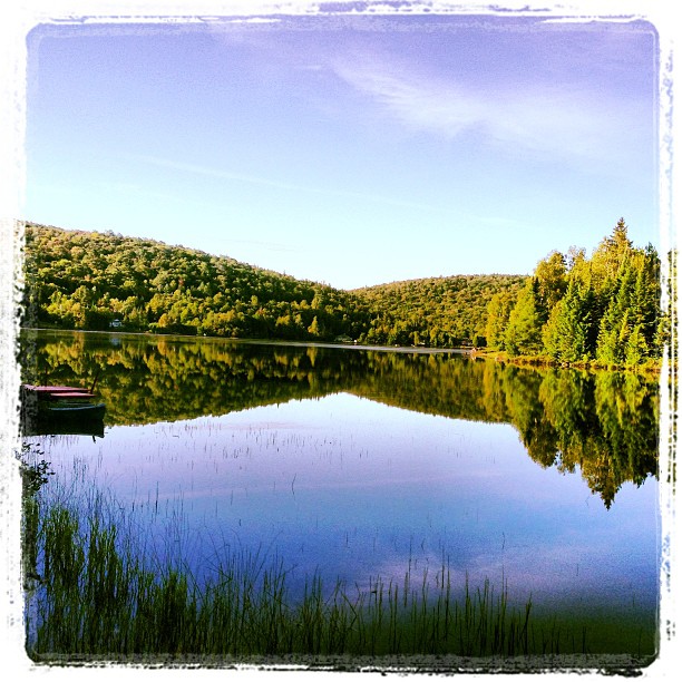
Morning on the lake

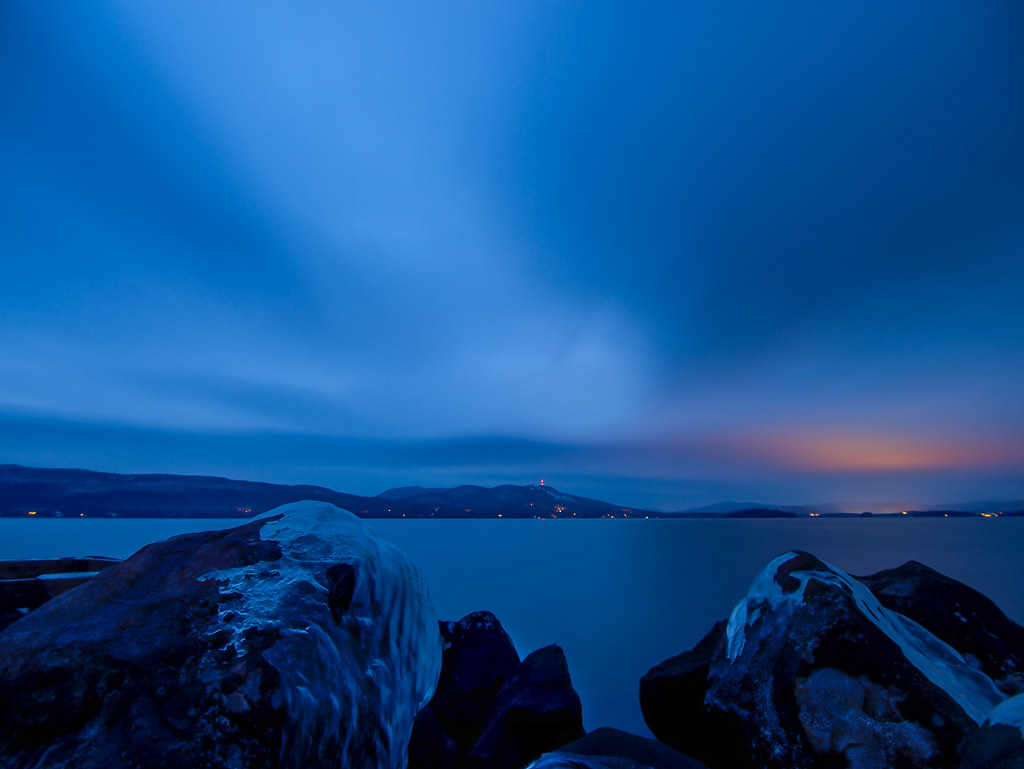
Blues in the Water

Panorama du haut du Mont Sourire (475 m)
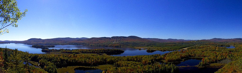
Thanksgiving weekend in the Laurentien's
another day, another lake :-)
Lac Chevreuil
SOTA VE2_LR-059 Mont Lafreniere 2015-12-28 034
PB150043_FF.jpg

Streaming Nature
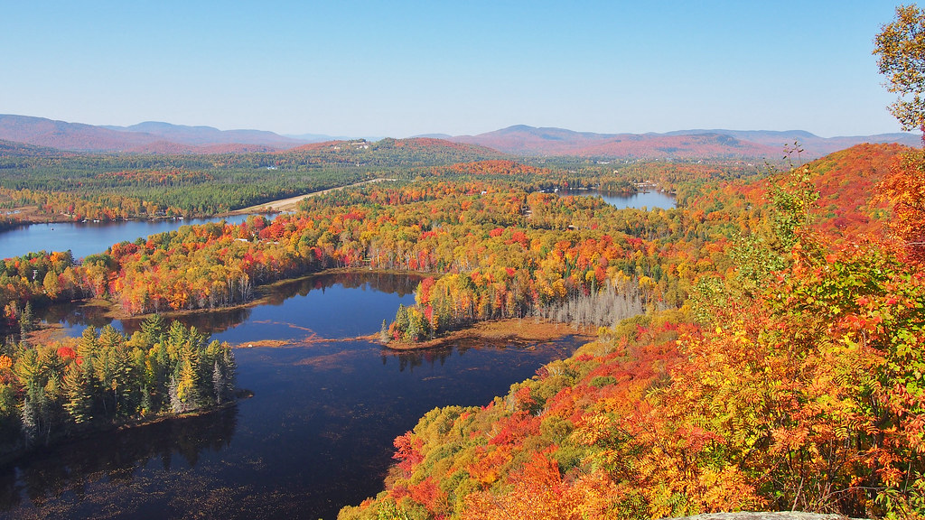
Coin de paradis d'automne / Fall Paradise
Étang - Pond
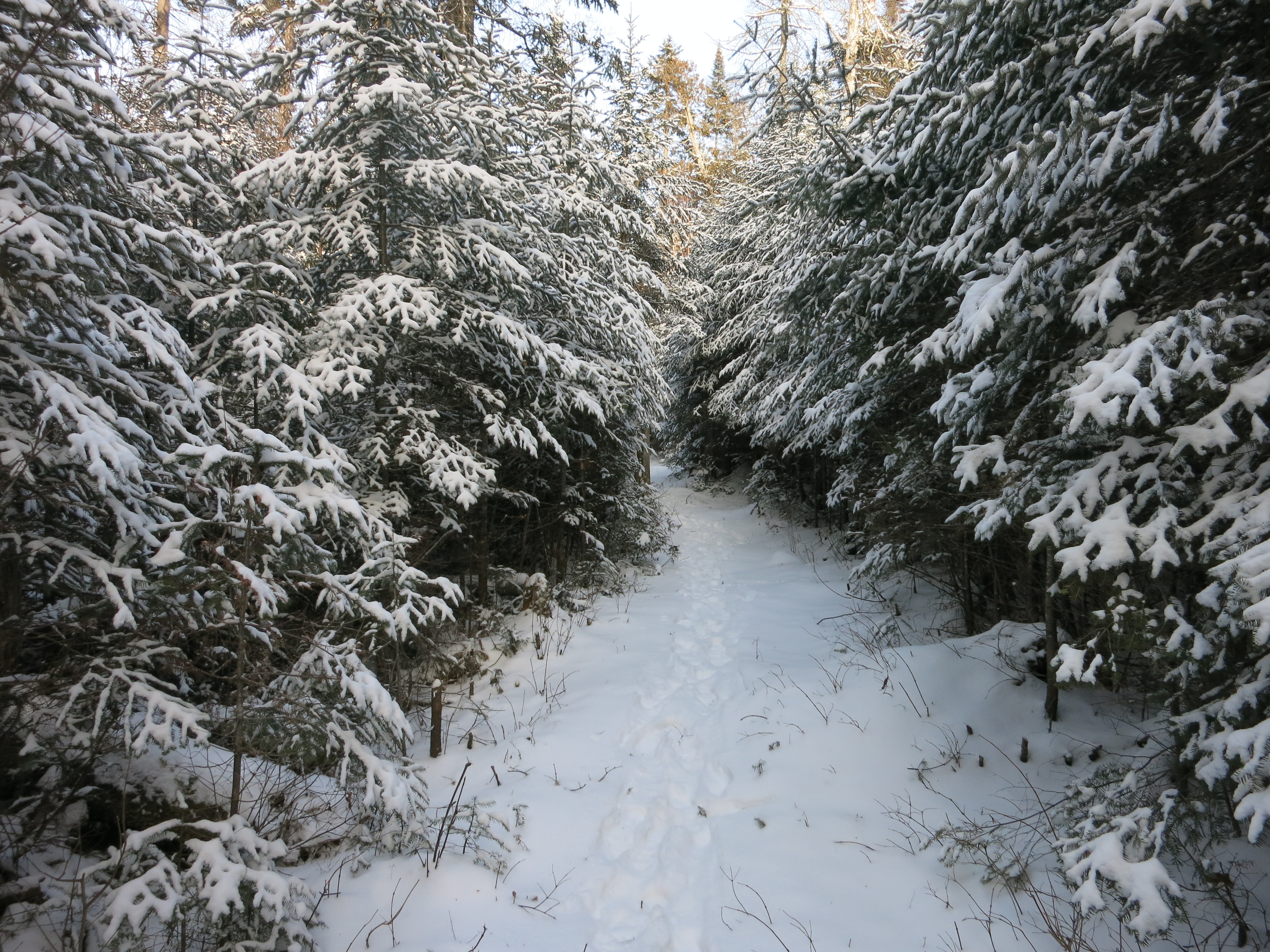
Snowshoeing at Parc national du Mont-Tremblant
Topographic Map of Saint-Donat, QC J0T, Canada
Find elevation by address:

Places in Saint-Donat, QC J0T, Canada:
Places near Saint-Donat, QC J0T, Canada:
28 Chemin Du Domaine Ayotte
83 Chemin Du Domaine Ayotte
85 Chemin Du Domaine Ayotte
Saint-donat-de-montcalm
87 Chemin Du Domaine Ayotte
87 Chemin Du Domaine Ayotte
87 Chemin Du Domaine Ayotte
87 Chemin Du Domaine Ayotte
90 Chemin Du Domaine Ayotte
Saint-donat
465 Chemin Du Domaine R Lavoie
465 Chemin Du Domaine R Lavoie
115 Chemin Du Lac Blanc
84 Chemin Du Lac Élan
30 Chemin Du Bois Dormant
30 Chemin Du Bois Dormant
31 Chemin De La Croix
Chemin Wall
Val-des-lacs
Lac-supérieur
Recent Searches:
- Elevation of Corso Fratelli Cairoli, 35, Macerata MC, Italy
- Elevation of Tallevast Rd, Sarasota, FL, USA
- Elevation of 4th St E, Sonoma, CA, USA
- Elevation of Black Hollow Rd, Pennsdale, PA, USA
- Elevation of Oakland Ave, Williamsport, PA, USA
- Elevation of Pedrógão Grande, Portugal
- Elevation of Klee Dr, Martinsburg, WV, USA
- Elevation of Via Roma, Pieranica CR, Italy
- Elevation of Tavkvetili Mountain, Georgia
- Elevation of Hartfords Bluff Cir, Mt Pleasant, SC, USA