Elevation of Saiad, Afghanistan
Location: Afghanistan > Parvan > Chaharikar >
Longitude: 69.3145727
Latitude: 34.9983041
Elevation: 1434m / 4705feet
Barometric Pressure: 85KPa
Elevation Map:
Satellite Map:
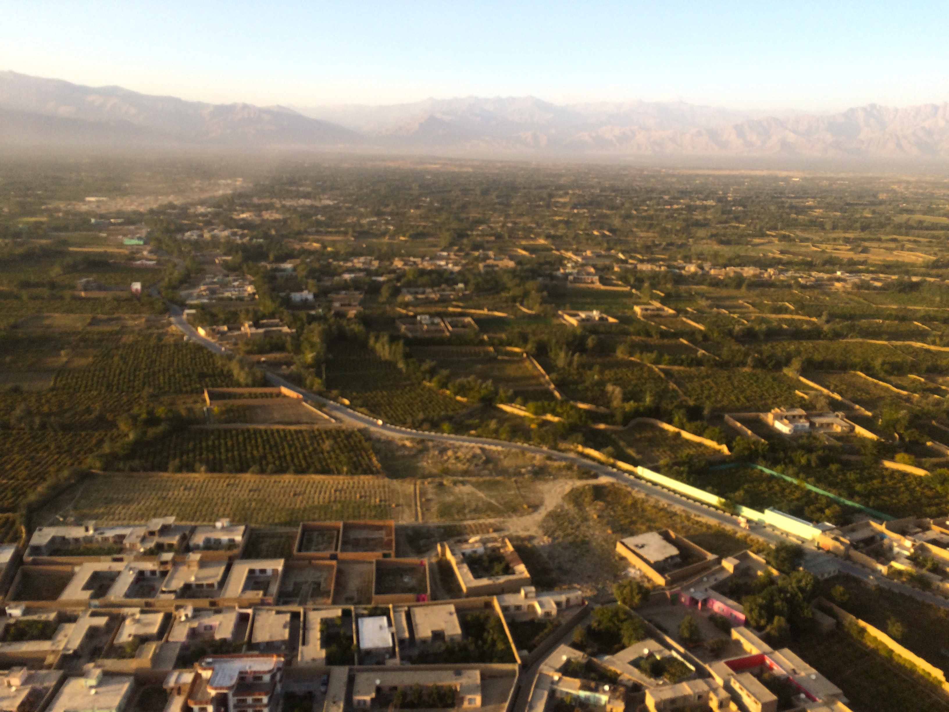
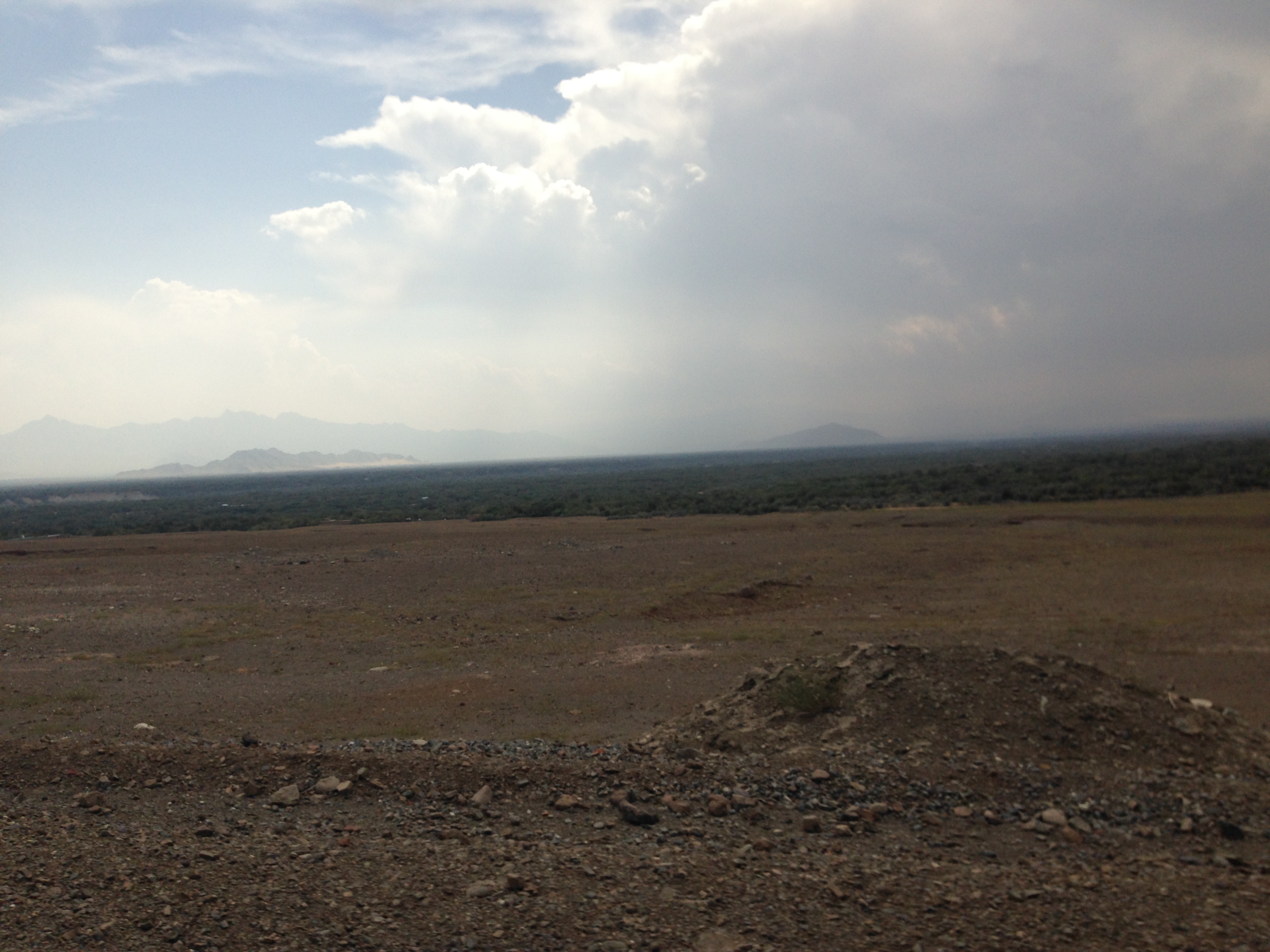
Related Photos:
View from the right seat
Hindu Kush, Afghanistan
Hindu Kush, Afghanistan

Can you tell which one is me? I might be the guy holding a #Pentax #pentaxk1000 camera. #VeteransDay #afghanistan #OEF #2003
Jabal-os-Saraj

Jabal-os-Saraj

After Effects of Multiple Delays
Departing Bagram
Day-17(07/10/2014)
Topographic Map of Saiad, Afghanistan
Find elevation by address:

Places near Saiad, Afghanistan:
Chaharikar
Bagram Airfield
Bagram
Airport Road
Charikar
Qarabagh
Qara Bagh
Kapisa
Hamid Karzai International Airport
Kabul
1 Airport Rd
Kabul
Bagrami
Nijrab
Kabul
Tagab
قصر دار الامان
Dar Ul Aman
Zazi
Aryob Zazi
Recent Searches:
- Elevation of Corso Fratelli Cairoli, 35, Macerata MC, Italy
- Elevation of Tallevast Rd, Sarasota, FL, USA
- Elevation of 4th St E, Sonoma, CA, USA
- Elevation of Black Hollow Rd, Pennsdale, PA, USA
- Elevation of Oakland Ave, Williamsport, PA, USA
- Elevation of Pedrógão Grande, Portugal
- Elevation of Klee Dr, Martinsburg, WV, USA
- Elevation of Via Roma, Pieranica CR, Italy
- Elevation of Tavkvetili Mountain, Georgia
- Elevation of Hartfords Bluff Cir, Mt Pleasant, SC, USA