Elevation map of Saharanpur, Uttar Pradesh, India
Location: India > Uttar Pradesh >
Longitude: 77.4701972
Latitude: 29.8361115
Elevation: 266m / 873feet
Barometric Pressure: 98KPa
Elevation Map:
Satellite Map:
Related Photos:
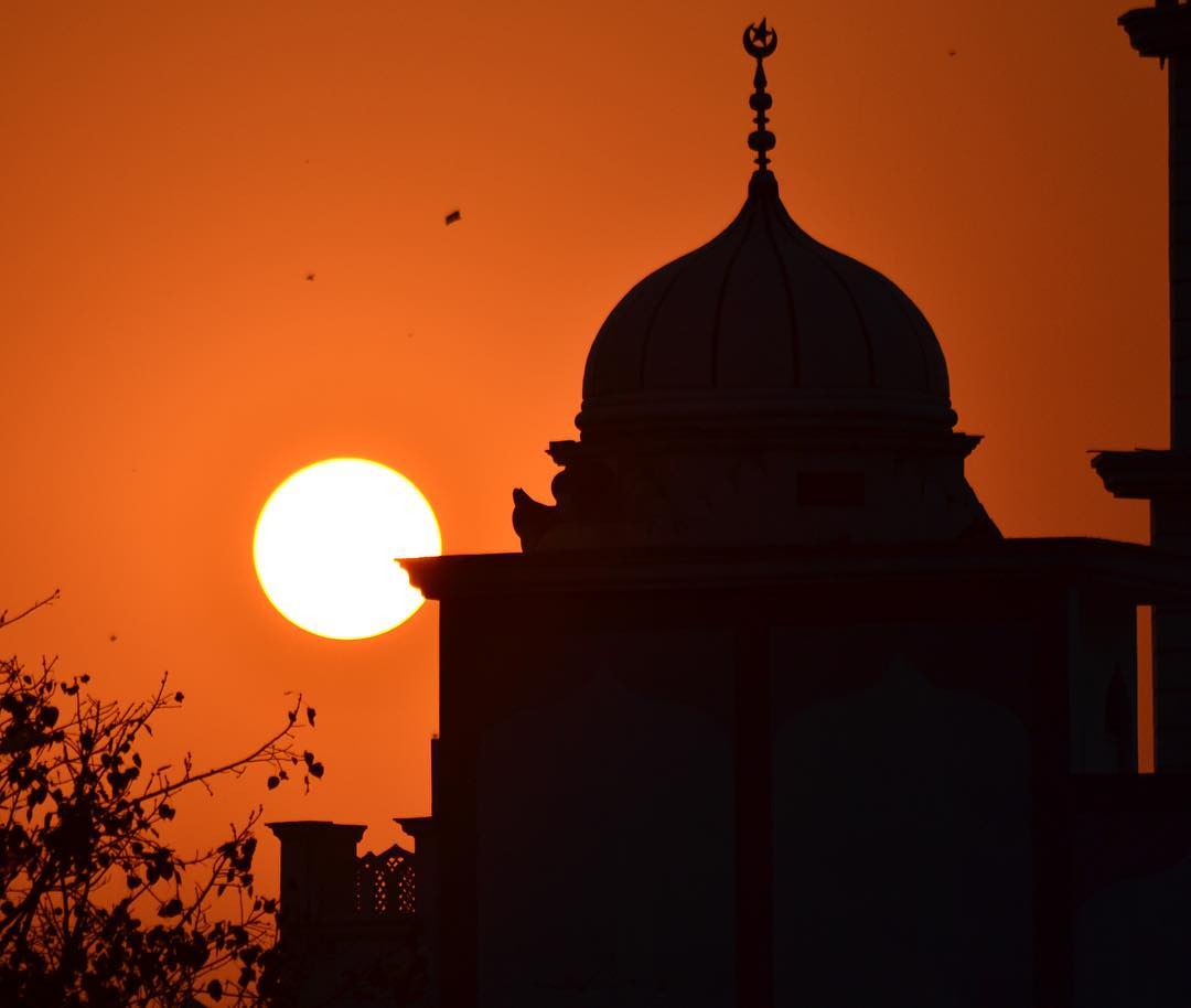
Another one from the #SaharanpurDiaries. #Sunset #Silhouette #Mosque #IndiaPictures #IndiaClicks #Ig_India #TravelGram #IncredibleIndia #_soi #IgersIndia #IndiaGram #igramming_india #Desi_Diaries #IndiaShutterBugs #TravelRealIndia #StoriesOfIndia #IndiaI
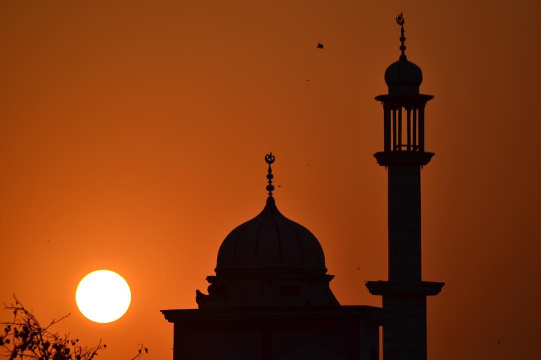
And then i reached the roof with a camera and this was waiting for me. #SaharanpurDiaries #Sunset #Mosque #EveningTimes #NoEdit #AllOriginal #RollingCamera #IndiaPictures #IndiaClicks #Ig_India #TravelGram #IncredibleIndia #_soi #IgersIndia #IndiaGram #i

#Butterflies , and obviously some good friends too.....!!!
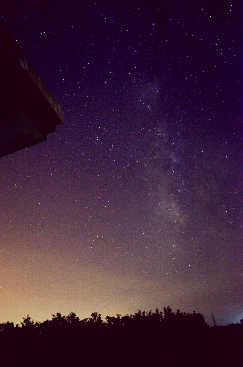
up above the world so high, like a diamond in the sky. Milky Way. Galaxy #Milkyway #Galaxy #Nikon #stars #longexposure #experiment
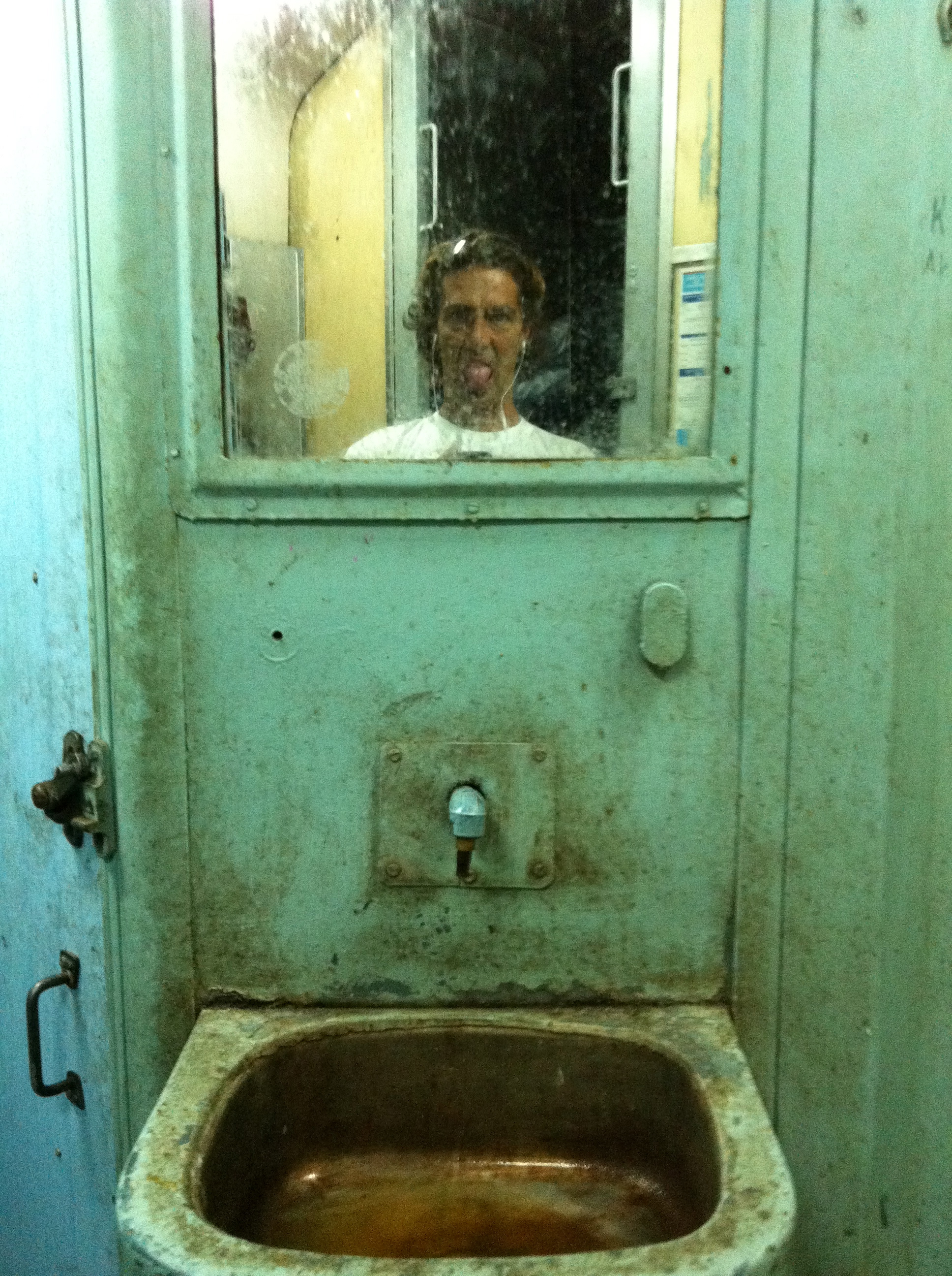
train bathroom... not very nice
Topographic Map of Saharanpur, Uttar Pradesh, India
Find elevation by address:

Places in Saharanpur, Uttar Pradesh, India:
Places near Saharanpur, Uttar Pradesh, India:
Saharanpur
Mdr 2w
Mdr 2w
Matkota
Rashid Masjid Rd, Matkota, Deoband, Uttar Pradesh, India
Deoband
Muzaffarabad
Sadhauli Qadeem
Manglaur
Roorkee
Piran Kaliyar
Haridwar
Shishya Public School
Graphic Era (deemed To Be University)
Subhash Nagar
Haridwar
Seema Dwar
National Highway 72
Inderpur
Indian Military Academy
Recent Searches:
- Elevation of Corso Fratelli Cairoli, 35, Macerata MC, Italy
- Elevation of Tallevast Rd, Sarasota, FL, USA
- Elevation of 4th St E, Sonoma, CA, USA
- Elevation of Black Hollow Rd, Pennsdale, PA, USA
- Elevation of Oakland Ave, Williamsport, PA, USA
- Elevation of Pedrógão Grande, Portugal
- Elevation of Klee Dr, Martinsburg, WV, USA
- Elevation of Via Roma, Pieranica CR, Italy
- Elevation of Tavkvetili Mountain, Georgia
- Elevation of Hartfords Bluff Cir, Mt Pleasant, SC, USA