Elevation of Safe Harbor Circle, Safe Harbor Cir, South Carolina, USA
Location: United States > South Carolina > Oconee County > Salem >
Longitude: -82.917666
Latitude: 34.8141244
Elevation: 269m / 883feet
Barometric Pressure: 98KPa
Elevation Map:
Satellite Map:
Related Photos:
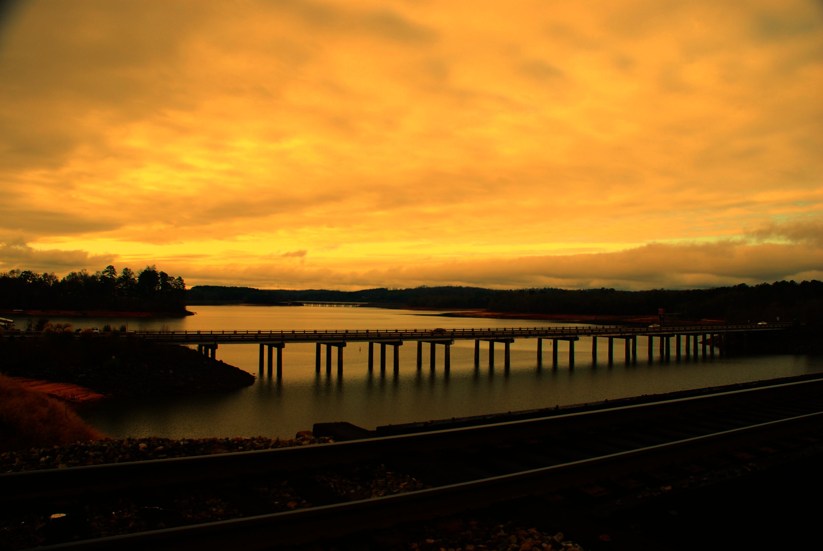
Three bridges

aerial of South Carolina Lake Jocassee Gorges Upstate Mountains

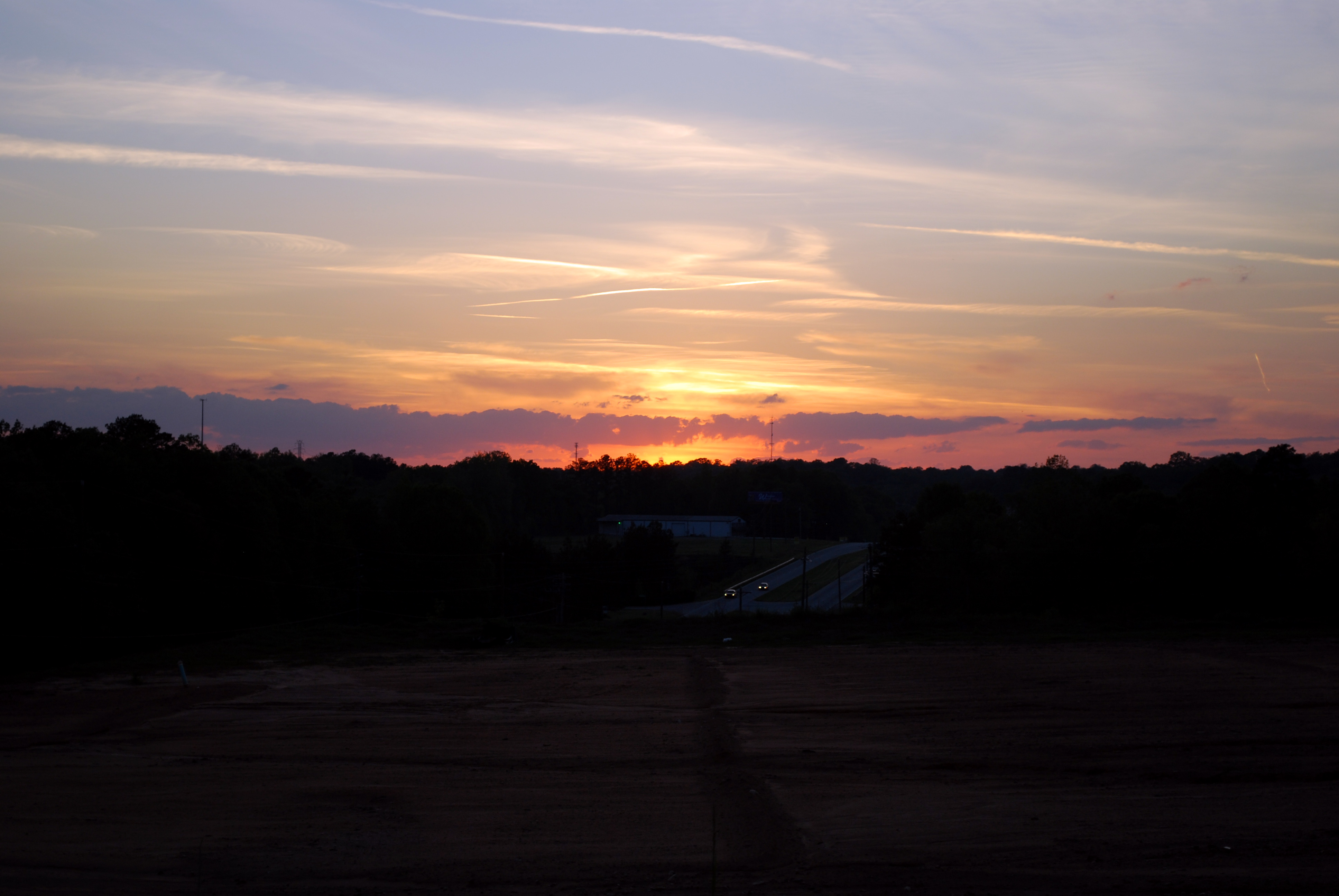
Clemson Sunset

Railroad view in Clemson SC by sheldn

Day 1054 - Happy 2010! (The Year In Review)
26.365

Appalachian Pygmy Pipes, Sweet Pinesap (Monotropsis odorata)
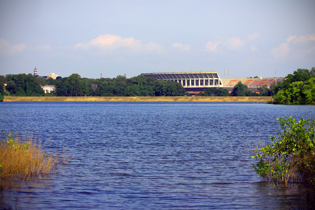
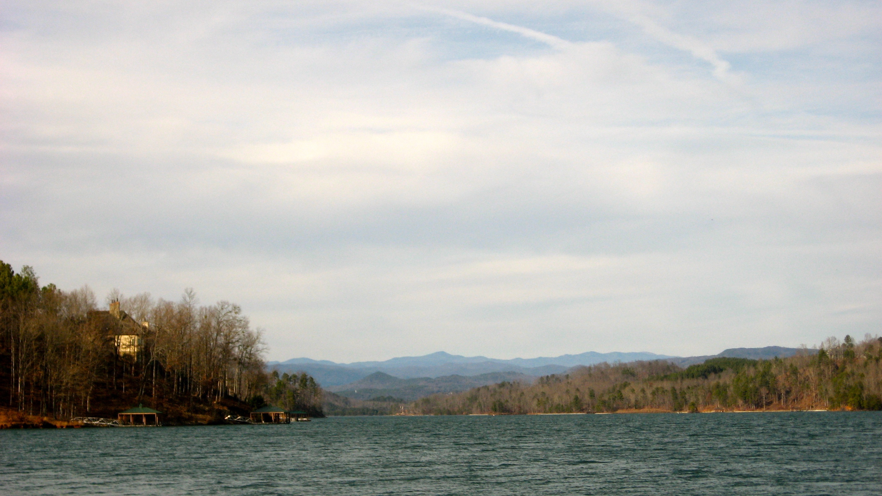
Lake Hartwell View of Clemson University
Day 91 - night on hartwell
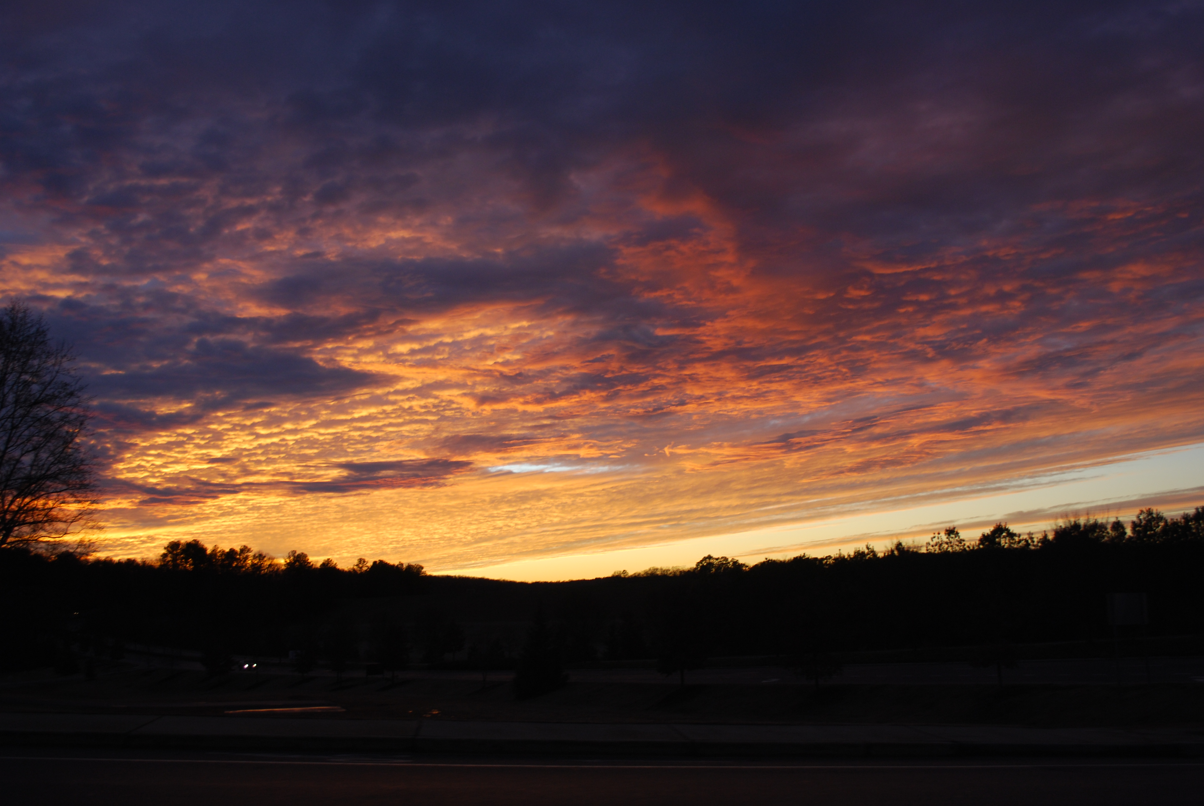
Clemson Sunset
21.365
Christmas Day at the Dog Park
Y Beach Panoramic
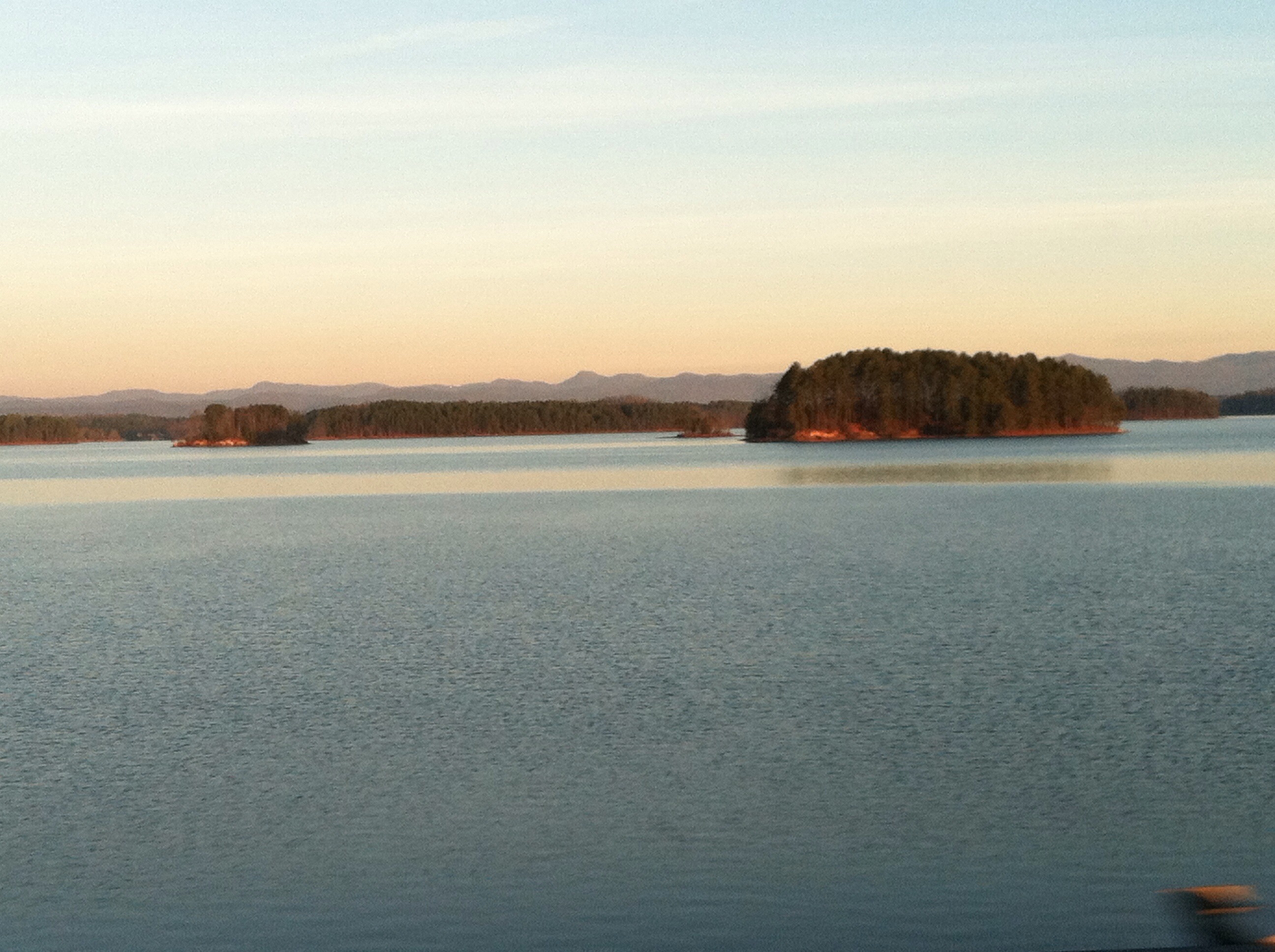
Morning Islands
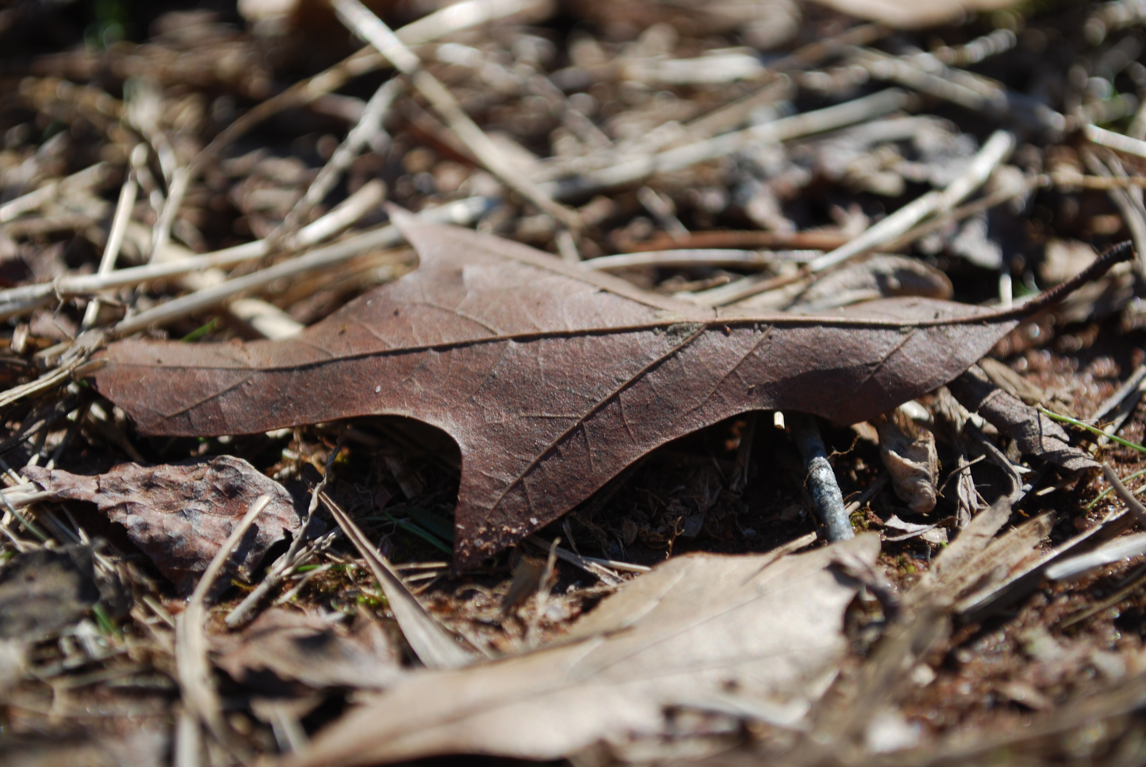
Day 38 - leaf
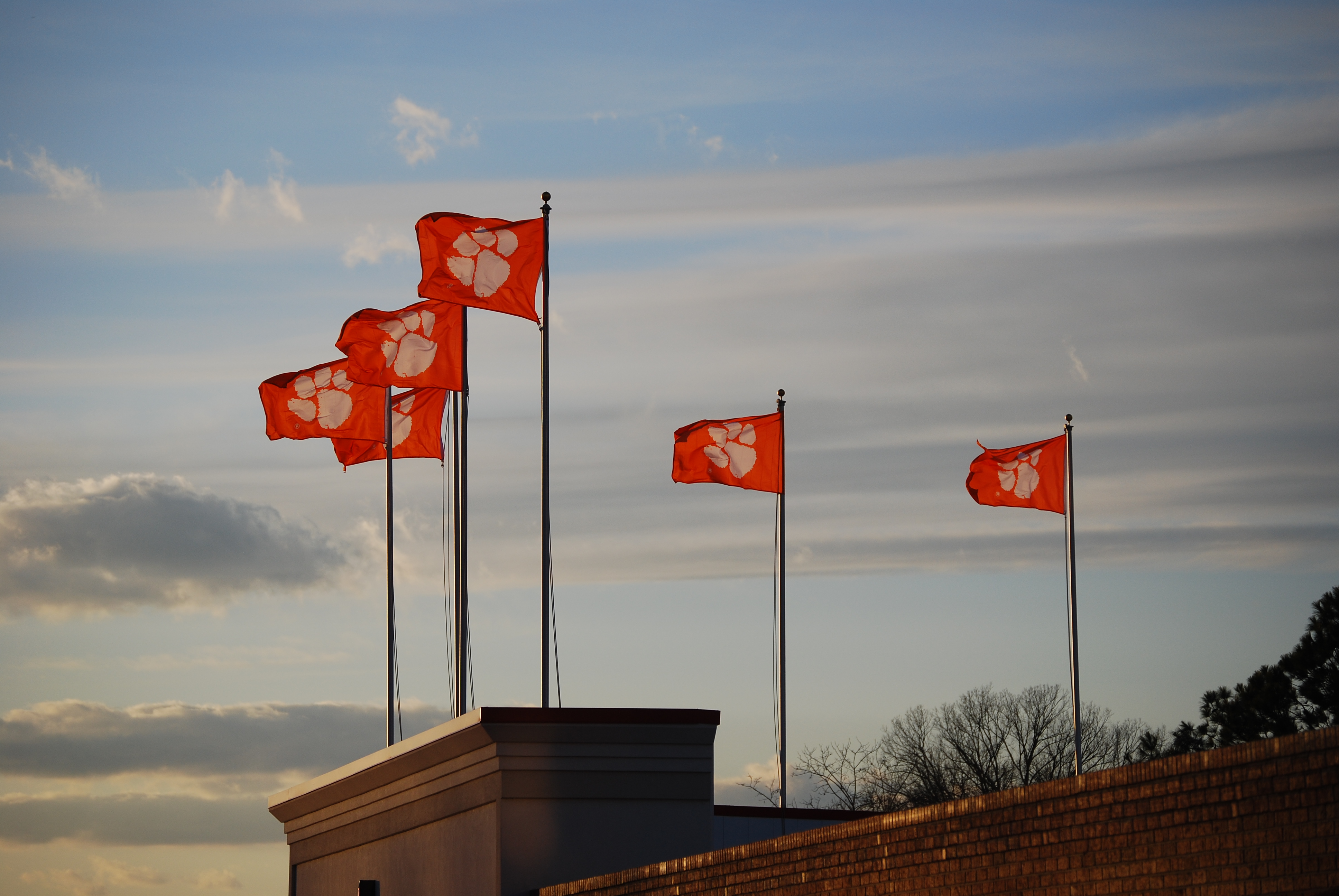
Clemson Winds
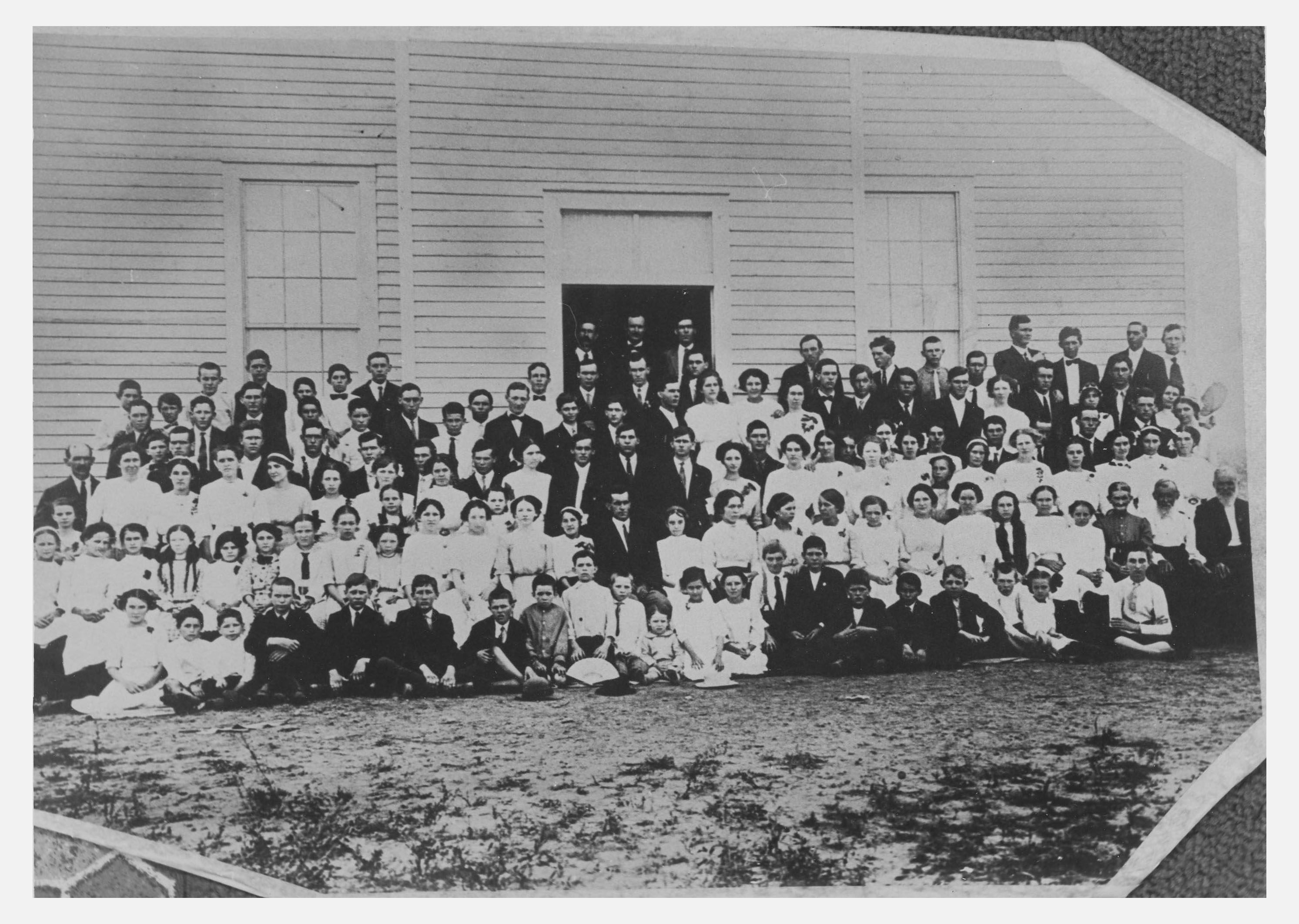
Singing School at Mountain View Baptist Church
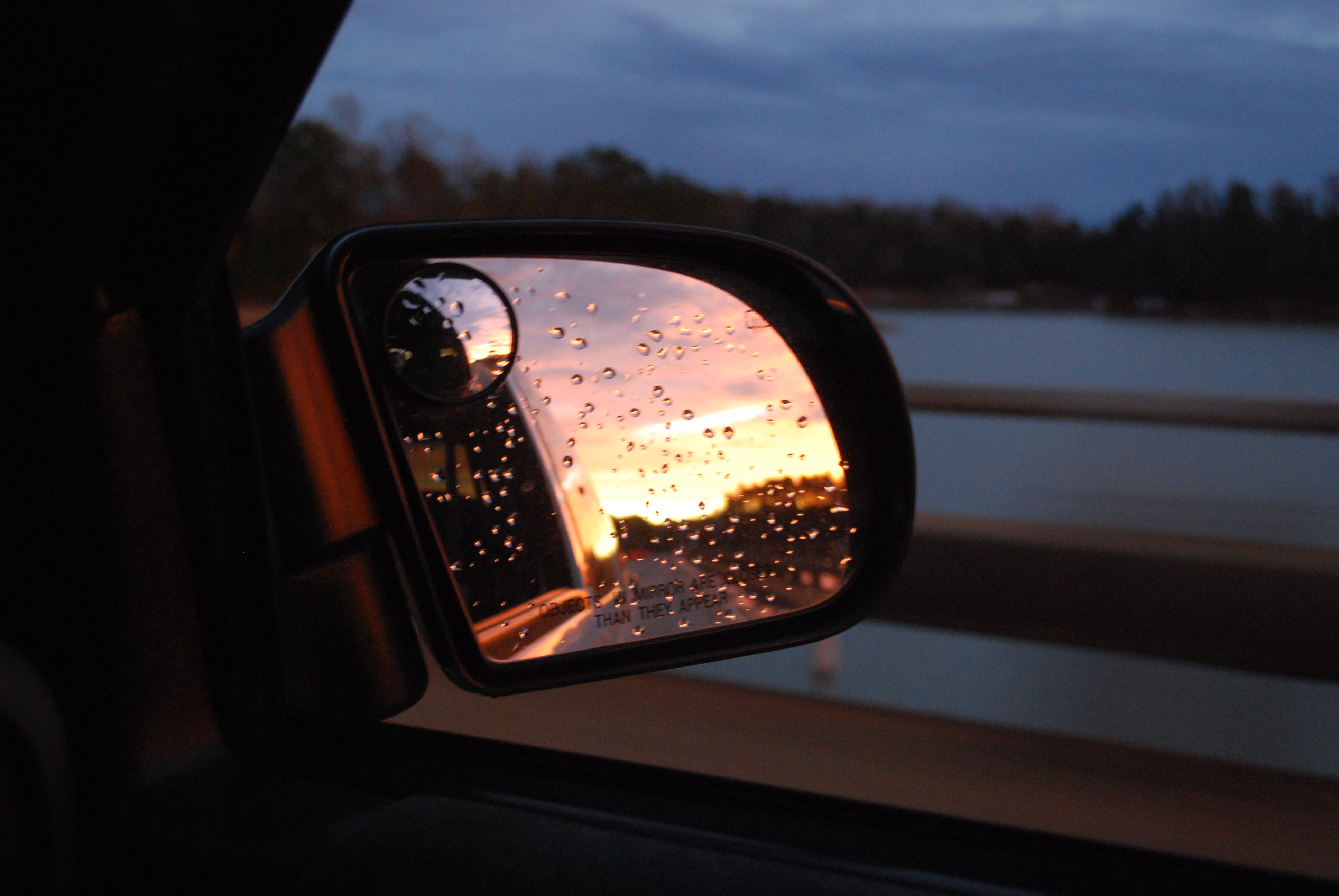
Looking back on a Sunset
View up the Keowee River basin.
Day 89 - goodbye monday
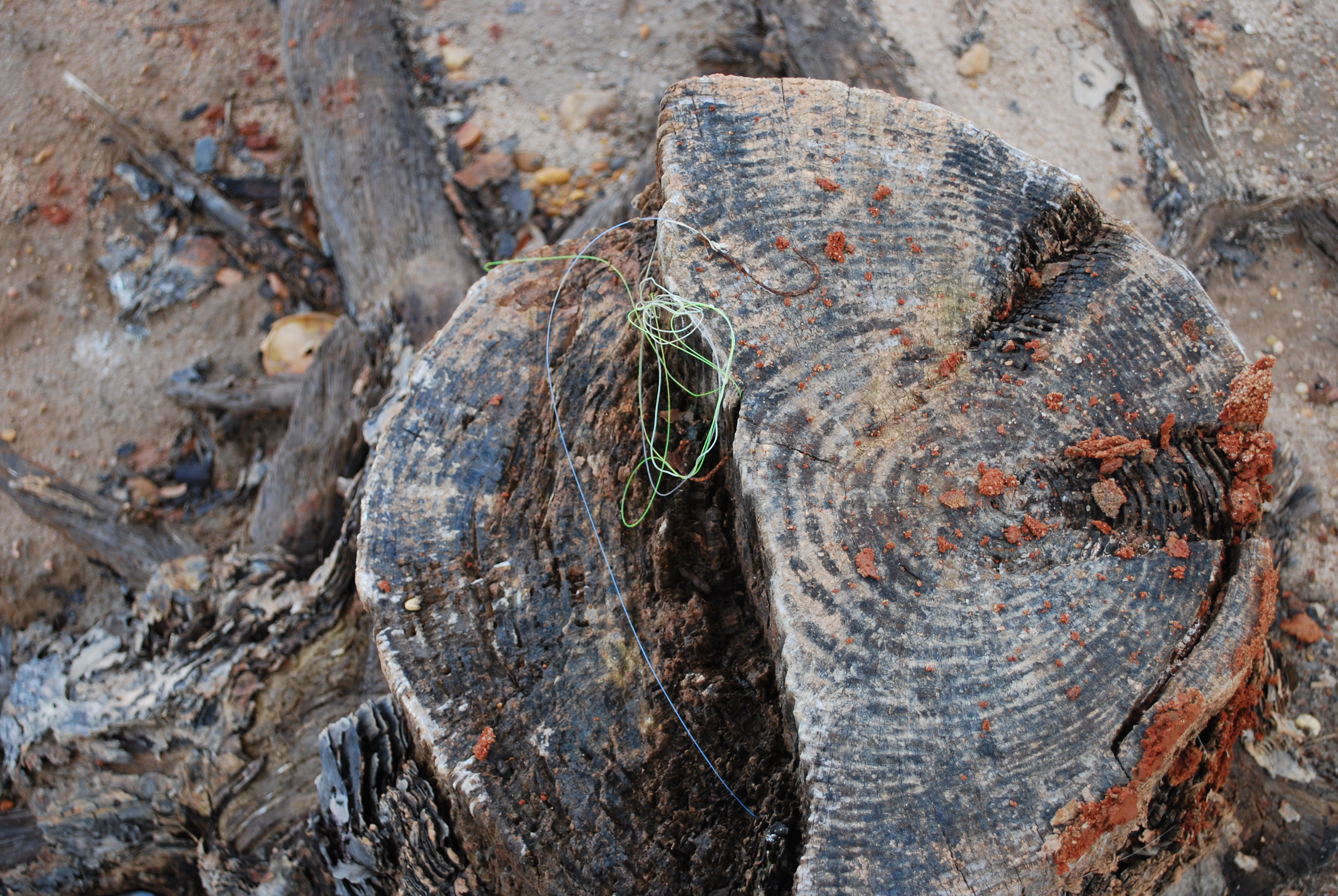
Didn't Catch This One
Topographic Map of Safe Harbor Circle, Safe Harbor Cir, South Carolina, USA
Find elevation by address:

Places near Safe Harbor Circle, Safe Harbor Cir, South Carolina, USA:
135 Harbor Lights Dr
204 Briarledge Dr
100 Captains Walk Cir
11 Harbor View Dr
122 Wynward Pointe
Lake Keowee
3 Admiral Ln
10 Spinnaker Way
Highridge Drive
8 Gulf Stream Ln
11 Lash Up Ln
22 Iron Clad Dr
3 Cats Paw Ct
3 Calm Sea Dr
11 Calm Sea Dr
1 Iron Clad Dr
332 Island Dr
The Cliffs At Keowee Springs
329 Knollwood Dr
122 Huntingwood Ct
Recent Searches:
- Elevation of Corso Fratelli Cairoli, 35, Macerata MC, Italy
- Elevation of Tallevast Rd, Sarasota, FL, USA
- Elevation of 4th St E, Sonoma, CA, USA
- Elevation of Black Hollow Rd, Pennsdale, PA, USA
- Elevation of Oakland Ave, Williamsport, PA, USA
- Elevation of Pedrógão Grande, Portugal
- Elevation of Klee Dr, Martinsburg, WV, USA
- Elevation of Via Roma, Pieranica CR, Italy
- Elevation of Tavkvetili Mountain, Georgia
- Elevation of Hartfords Bluff Cir, Mt Pleasant, SC, USA