Elevation of Saddlestring, WY, USA
Location: United States > Wyoming > Johnson County >
Longitude: -106.89727
Latitude: 44.4549714
Elevation: 1657m / 5436feet
Barometric Pressure: 83KPa
Elevation Map:
Satellite Map:
Related Photos:

April Bighorns

Ridgetop Trail

Winter Foothills

Above Piney Canyon

West of Pilot Knob

Half Buried Yucca

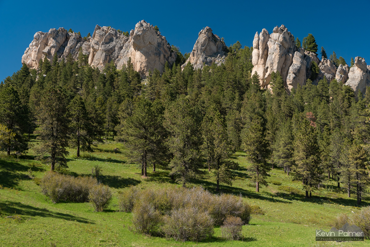
Hoodoos and Pillars

May Showers

Cliffs and Lake DeSmet

Fresh Snow on Penrose

Road to Fetterman

Pointing to the Valley
Sunset at Hospital Hill

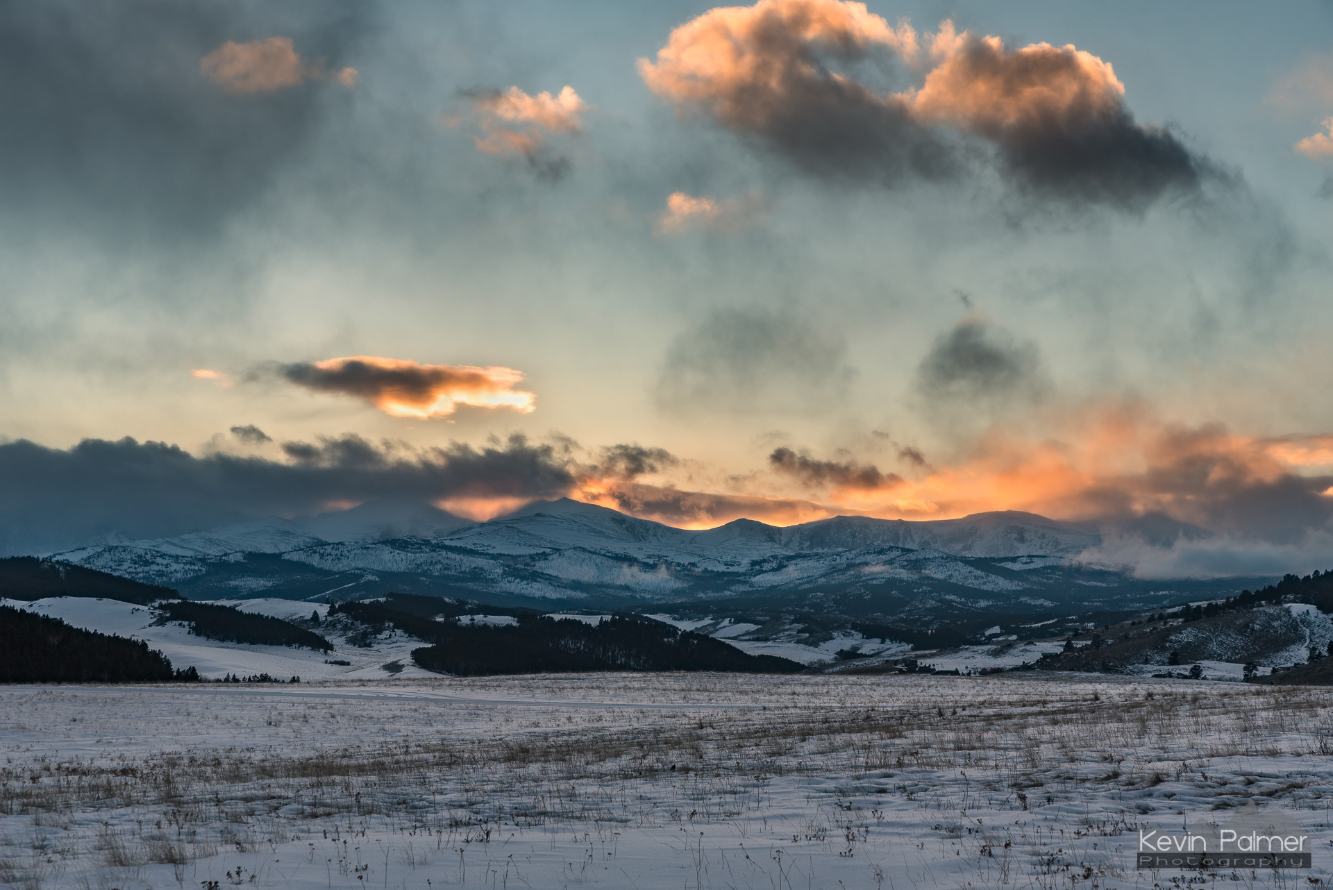
Piney Canyon Clouds

Leaving Elk Lake

On The Fence

Snowy Story

View From Peak 6381
Grandma's Mountain

Stripe of Foliage

View From Peak 7280

By The Light of the Moon

Spring snow in the Bighorns

Silver Lining

Bomber Morning

The Coming Dawn

Silver Sheen

Moon Sliver

Early Orionid

Sun After Snow

Purple Surprise

Home on the Range

The Icing on the Lake

Rough and Tumble

Top of the Two Track

Gold Under Ice

A Peaceful Place

Through the Foothills

After Yogi
Topographic Map of Saddlestring, WY, USA
Find elevation by address:

Places near Saddlestring, WY, USA:
66 Fish Hatchery Rd, Banner, WY, USA
493 Bird Farm Rd
347 Bird Farm Rd
92 Powder Horn Rd
92 Clubhouse Dr
Bighorn Mountains
6085 Coffeen Ave
Cloud Peak
U.s. 16
Sheridan County
75 Beaver Creek Rd
Sheridan
305 Smith St
Sheridan Ear Nose & Throat
1427 Easy St
Hazelton
Big Goose Rd, Sheridan, WY, USA
Sheridan, WY, USA
63 Decker Rd
Doyle Creek
Recent Searches:
- Elevation of Corso Fratelli Cairoli, 35, Macerata MC, Italy
- Elevation of Tallevast Rd, Sarasota, FL, USA
- Elevation of 4th St E, Sonoma, CA, USA
- Elevation of Black Hollow Rd, Pennsdale, PA, USA
- Elevation of Oakland Ave, Williamsport, PA, USA
- Elevation of Pedrógão Grande, Portugal
- Elevation of Klee Dr, Martinsburg, WV, USA
- Elevation of Via Roma, Pieranica CR, Italy
- Elevation of Tavkvetili Mountain, Georgia
- Elevation of Hartfords Bluff Cir, Mt Pleasant, SC, USA