Elevation of S W, Syracuse, UT, USA
Location: United States > Utah > Davis County > Syracuse >
Longitude: -112.04908
Latitude: 41.0760419
Elevation: -10000m / -32808feet
Barometric Pressure: 295KPa
Elevation Map:
Satellite Map:
Related Photos:

End of Another Beautiful Day!

Pumpkin Patch ~ My Beautiful Sister

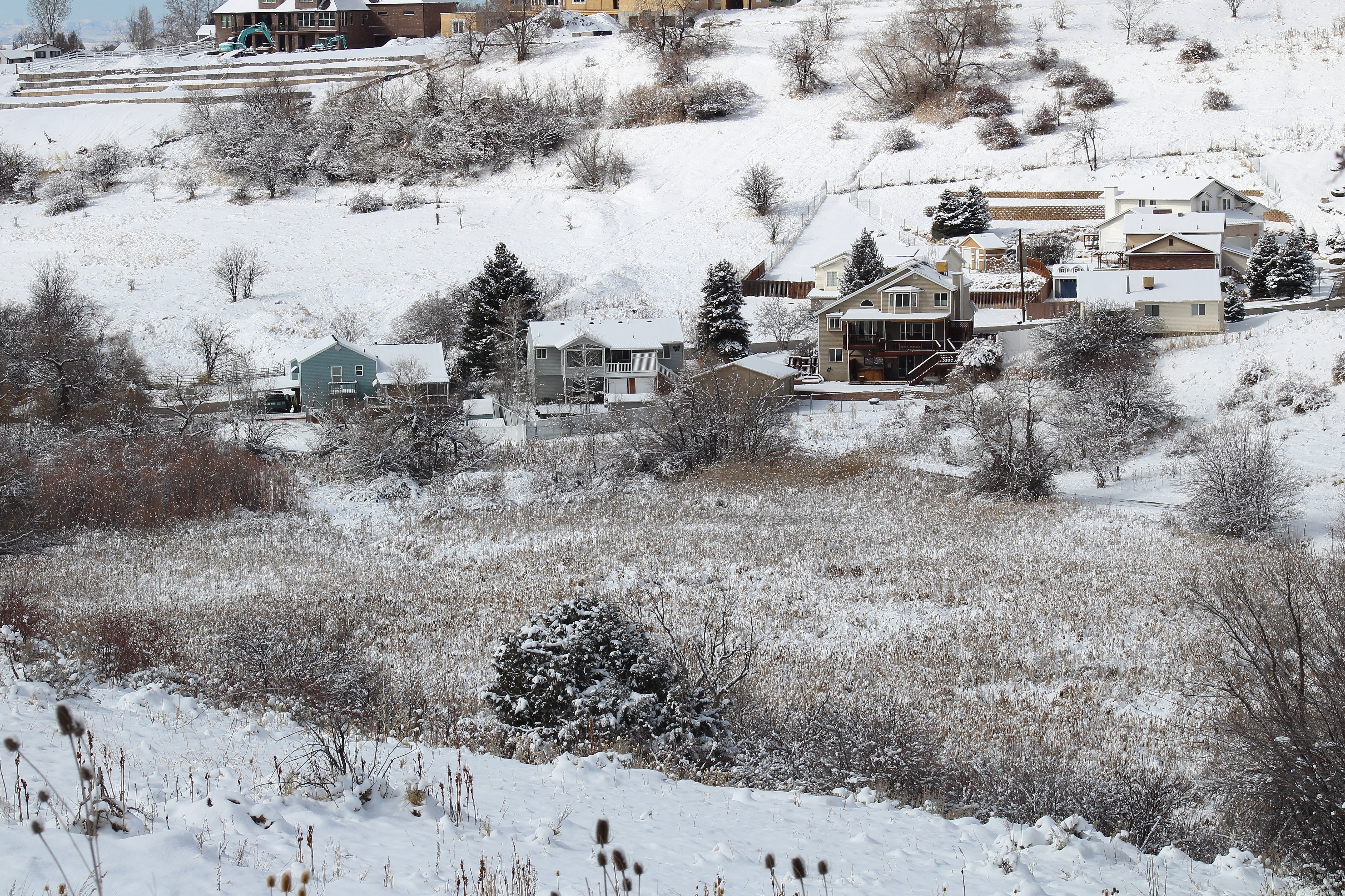
Antelope Island in Winter

IMG_6661 North Fork Kays Creek

Sharp perspective
IMG_6656 Kays Creek wetland

Causeway to Antelope Island

Valley Haze

Jetty Road

Sunset HDR

church-cross.jpg
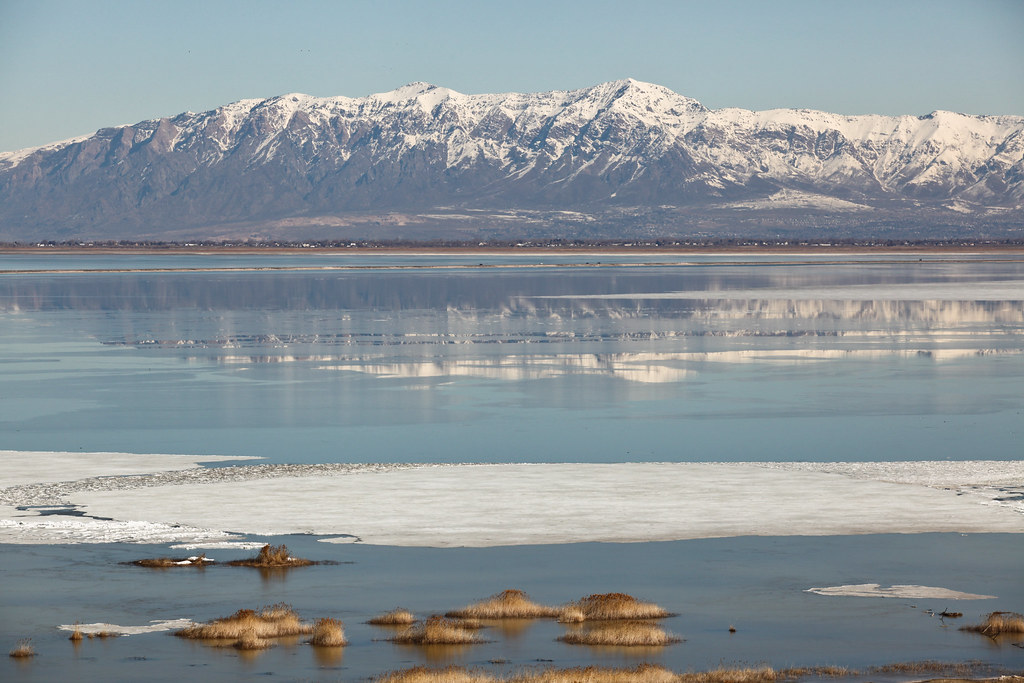
Great Salt Lake

view from the top of Dooly Knob

Tree Sunrise

The Great Salt Lake

Clouds and Sun on Ben Lomond

Wasatch Mountains Lake Reflection

Horse Pasture Sunset

Sunset looking over Hill Air Force Base

The Bonneville Shoreline

Traffic on Highway 89

Ben Lomond

Hay !

Antelope Impression

The Great Salt Lake Shorelands Preserve, UT

Layton,UT

Frary Peak

Adieu ~ Antelope Island

Last light on the hills. #bearfootinstameet

20170313_152613(0)

Golden wisps. .

The Great Salt Lake Shorelands Preserve, UT

20170313_131616(0)

Wetlands Preserve

Look Behind

Layton, UT

20170313_152603(0)
Topographic Map of S W, Syracuse, UT, USA
Find elevation by address:

Places near S W, Syracuse, UT, USA:
3391 S 875 W
Syracuse
1147 W 1045 S
1187 1875 S
1869 S 275 E
Clearfield
E S, Clearfield, UT, USA
1036 N 2100 W
W N, Clearfield, UT, USA
Sherma Ave, Layton, UT, USA
Hill Field Elementary
West Point
Veterans Memorial Highway
971 N 2600 W
700 S 4000 W
Layton, UT, USA
S Angel St, Layton, UT, USA
1149 W 650 S
Target
Nuames High School
Recent Searches:
- Elevation of Corso Fratelli Cairoli, 35, Macerata MC, Italy
- Elevation of Tallevast Rd, Sarasota, FL, USA
- Elevation of 4th St E, Sonoma, CA, USA
- Elevation of Black Hollow Rd, Pennsdale, PA, USA
- Elevation of Oakland Ave, Williamsport, PA, USA
- Elevation of Pedrógão Grande, Portugal
- Elevation of Klee Dr, Martinsburg, WV, USA
- Elevation of Via Roma, Pieranica CR, Italy
- Elevation of Tavkvetili Mountain, Georgia
- Elevation of Hartfords Bluff Cir, Mt Pleasant, SC, USA