Elevation of S W, Rockport, IN, USA
Location: United States > Indiana > Spencer County > Luce Township >
Longitude: -87.15159
Latitude: 37.83147
Elevation: 115m / 377feet
Barometric Pressure: 100KPa
Elevation Map:
Satellite Map:
Related Photos:

Sunflower in an Open Field
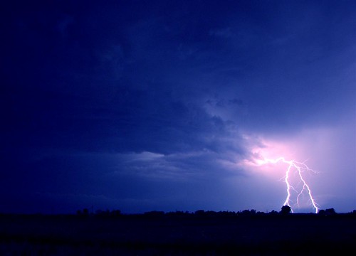
lighting - my fav

Katie inducted into National Junior Honor Society.

Spencer County Court House and jail, Rockport, Indiana
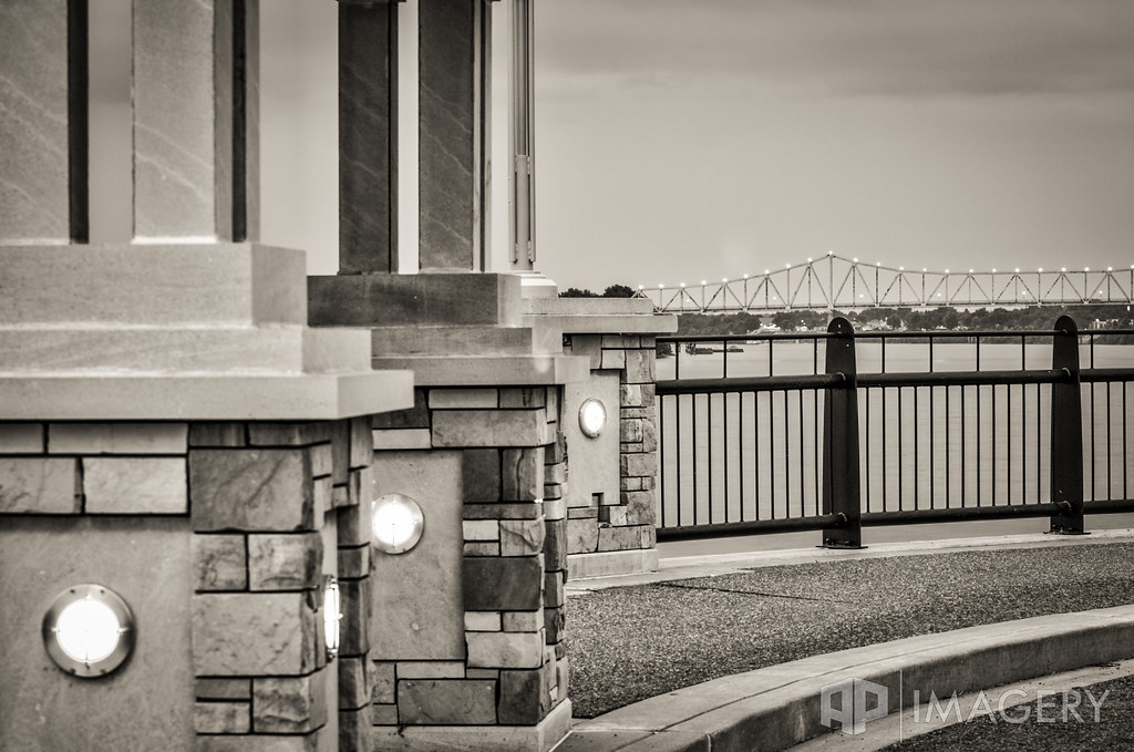
English Park - Bridge View
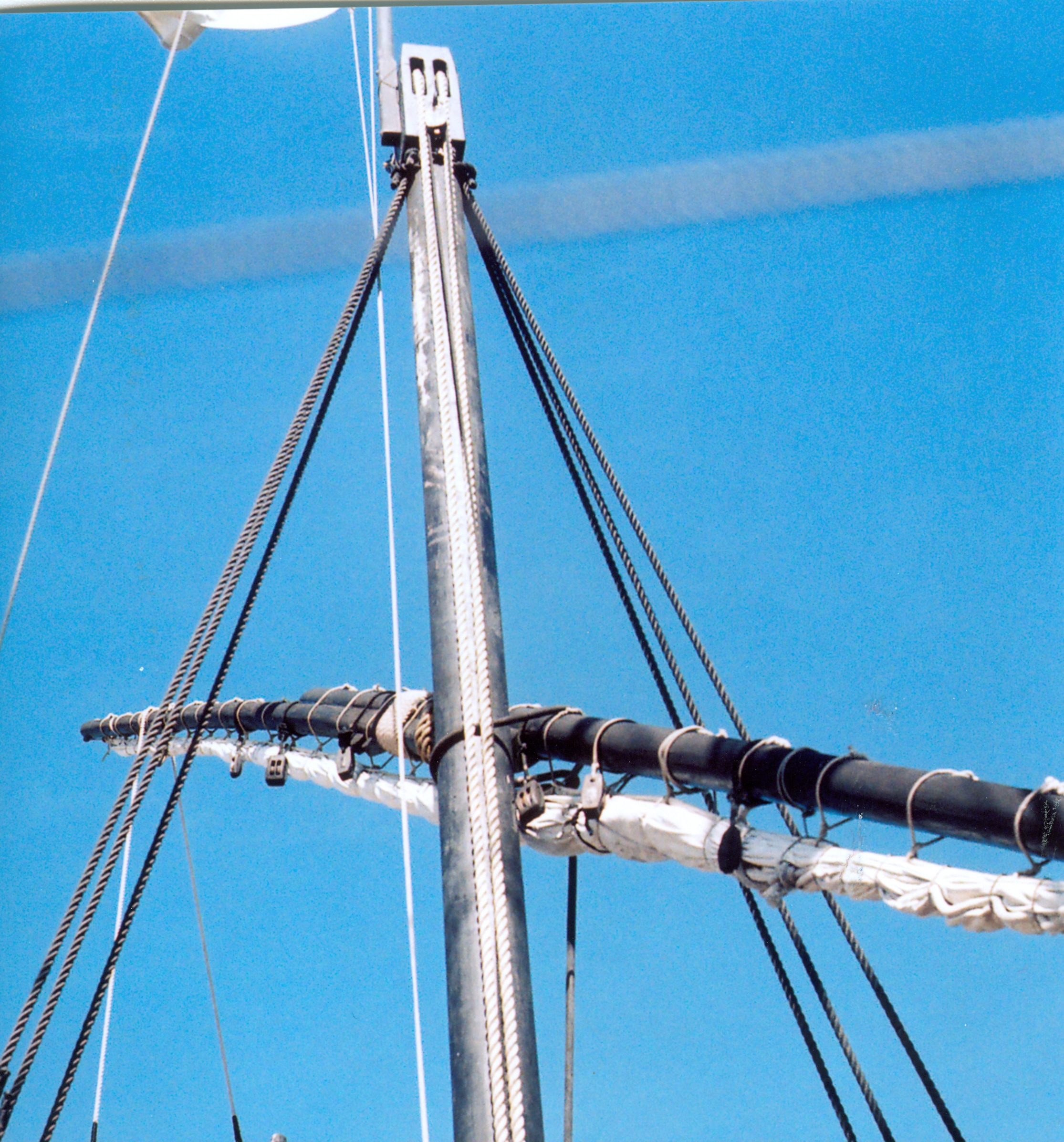
Lateen yard 9-13-09
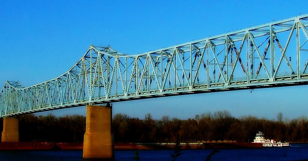
Bridge Over the Ohio
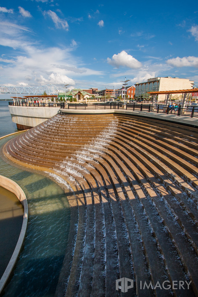
Smothers park - Water Feature

Brush Strokes And Silhouettes II

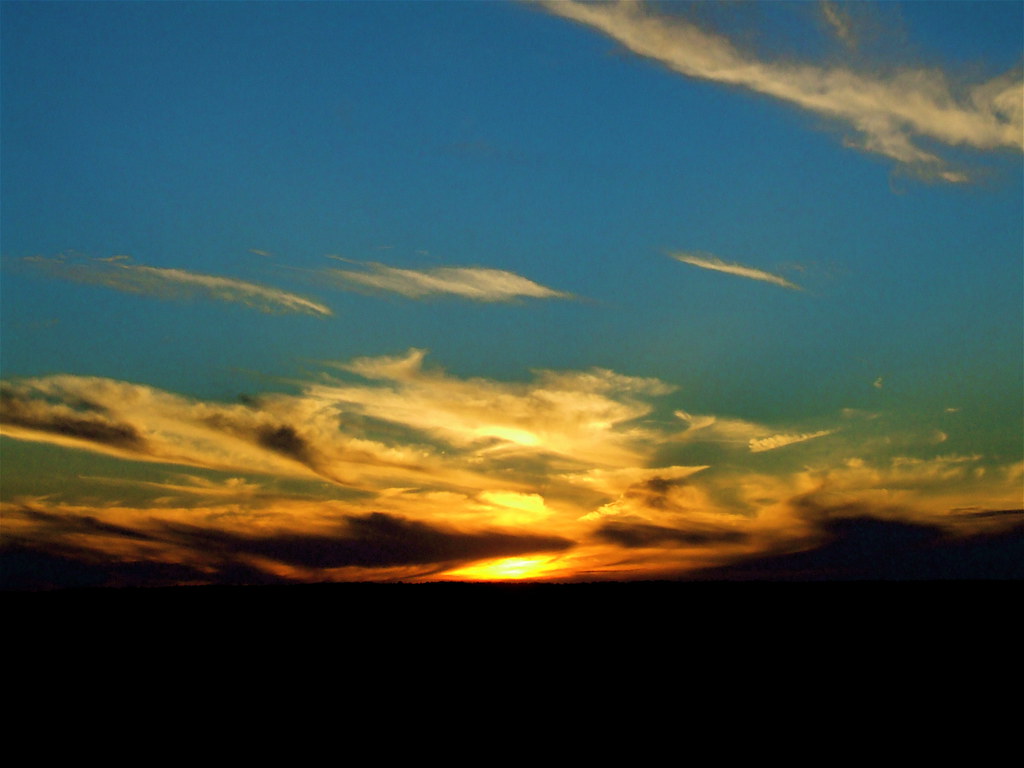
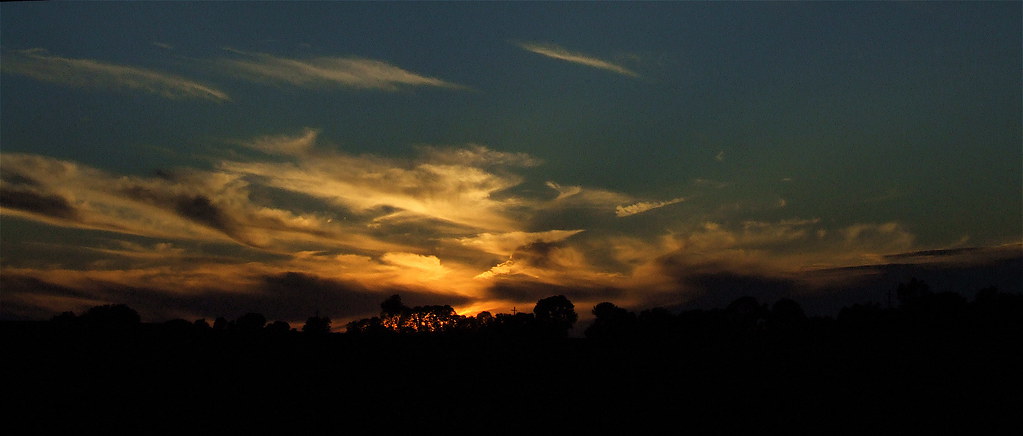
Bluegrass Sunset

Smothers Park - Water Feature
Kentucky Sky

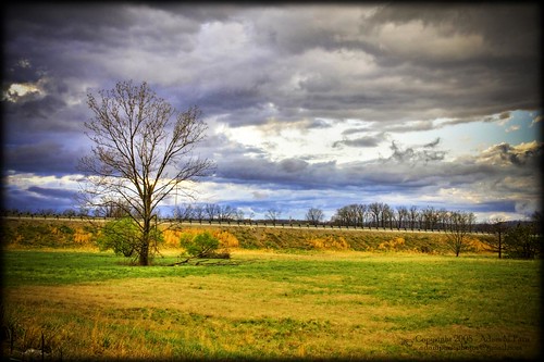
Fall Dawn Breaks
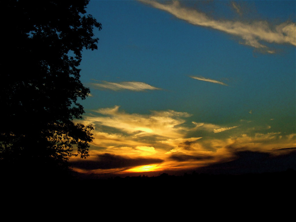
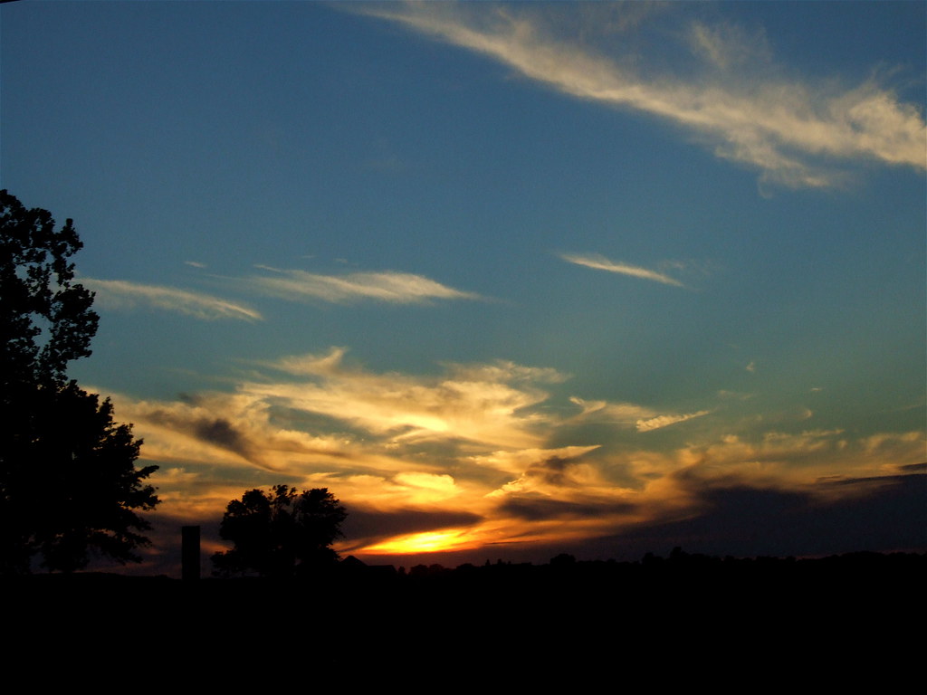
Summer Evening
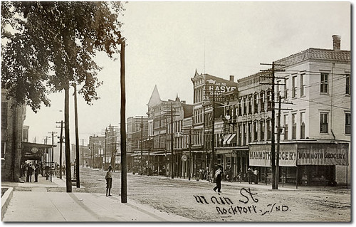
Main Street looking west, Rockport, Indiana
Brush Strokes And Silhouettes III
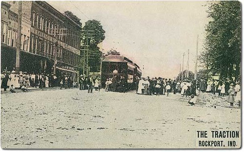
Trolleys on Main Street, Rockport, Indiana
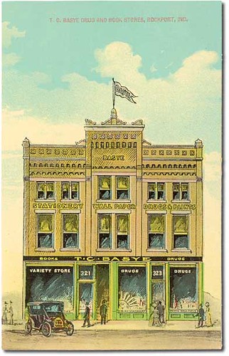
T. C. Basye Drug and Book Stores, Rockport, Indiana
A Painted Sunset
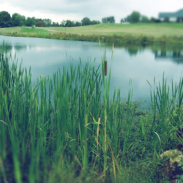
#lake #view

Owensboro Christian Church entry view

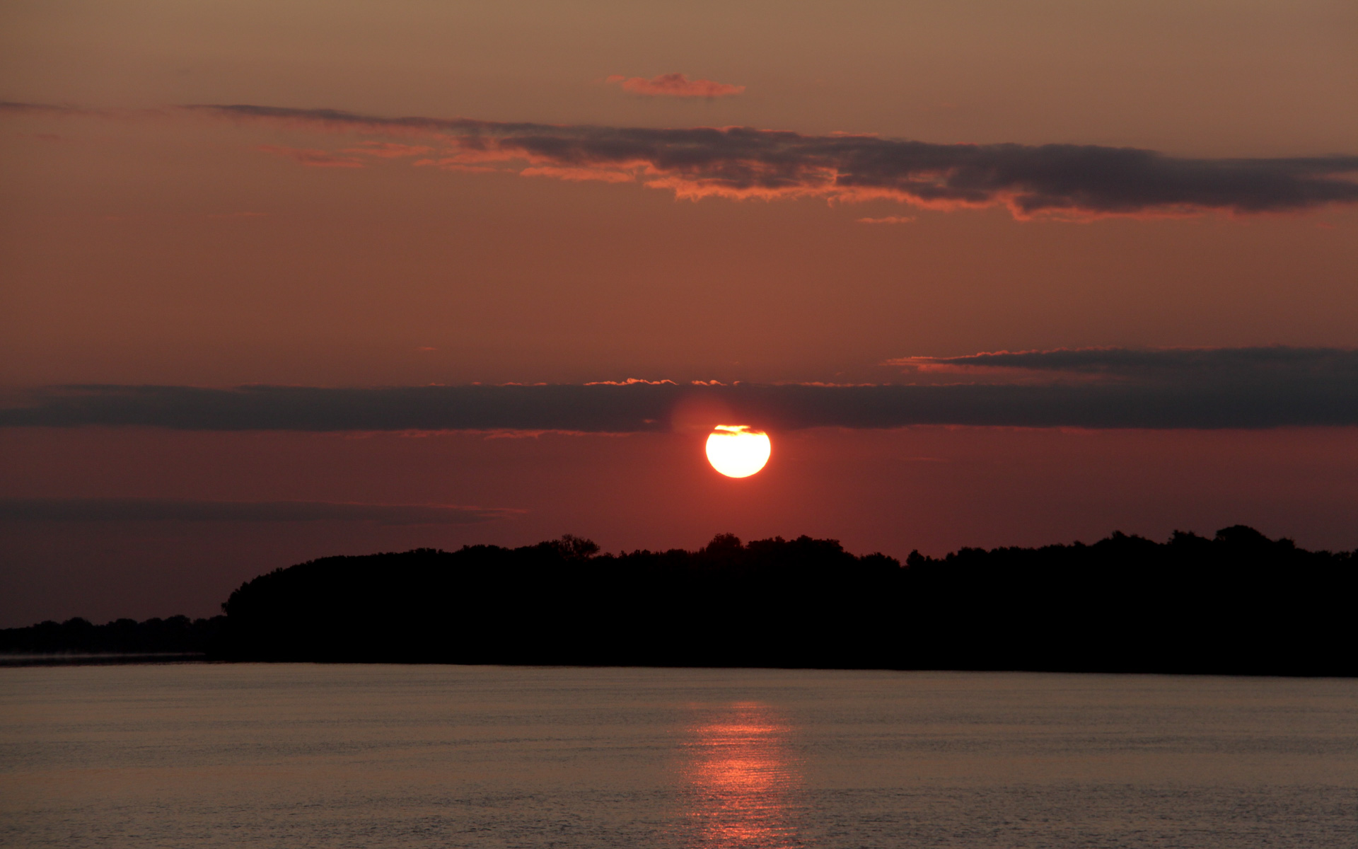
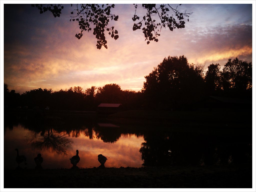
Ohio River Sunset
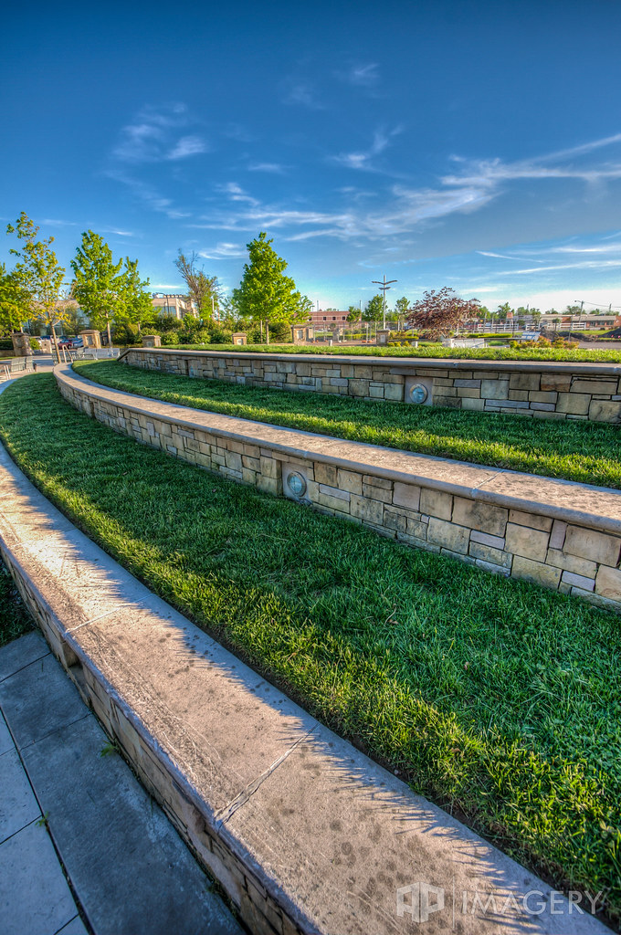
Smothers Park

Glover Cary Bridge and Cement Barge
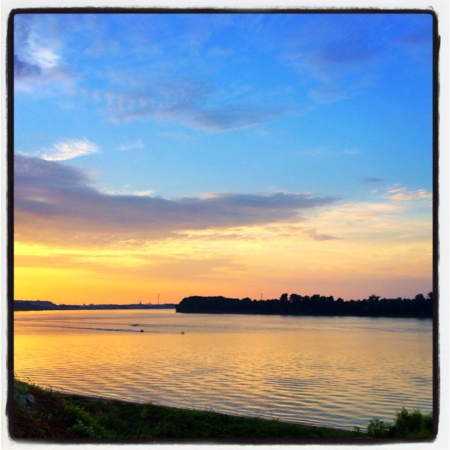
Sunrise over the Ohio
Brush Strokes And Silhouettes I

Glover Cary

Sunrise in the Summit
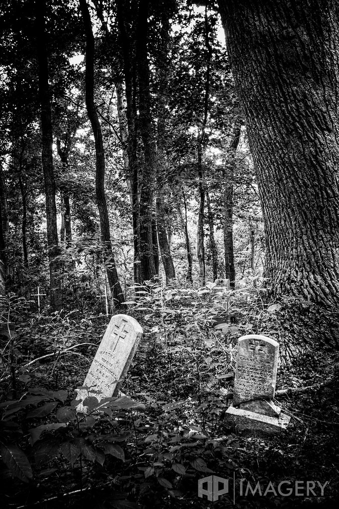
Abandoned - Cemetery
Summit Sunset
Where I'm from. It looks like this sometimes, and … yeah. It's nice to be home. "The Sun, the Sun's is goin down— The Ohio River's turnin' 'round…" #owensboro

The Summit
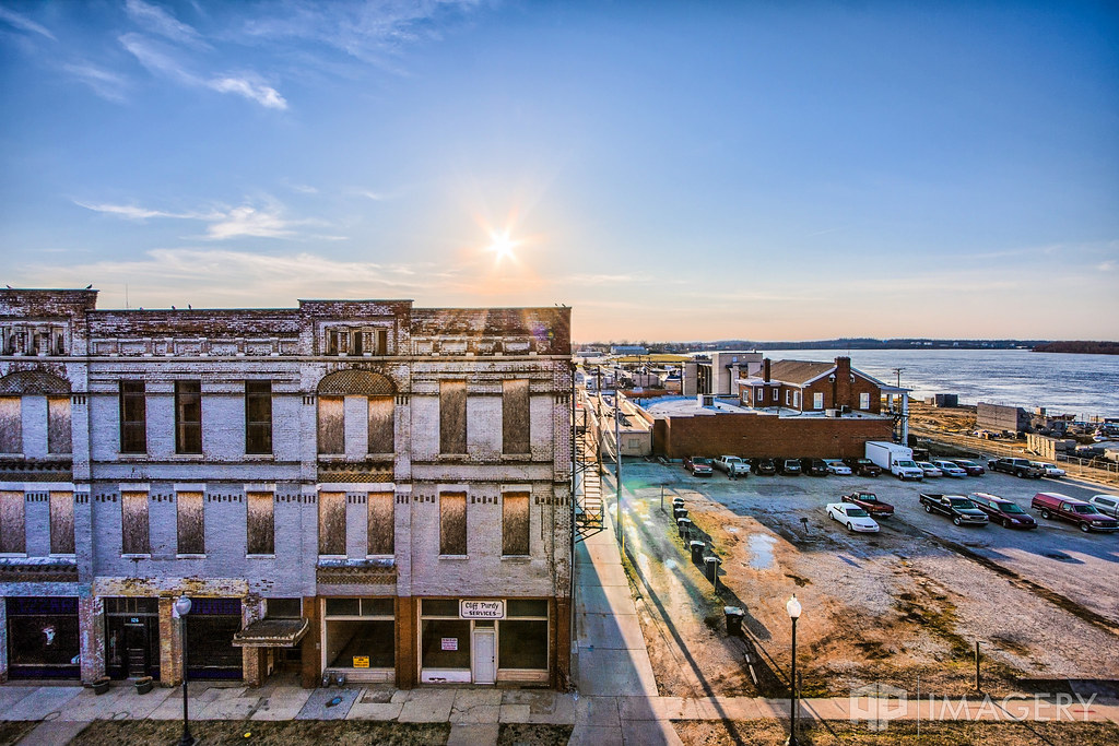
Downtown - Mar 2011
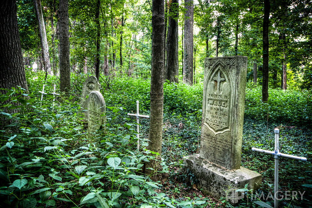
Abandoned - Cemetery

The Ohio River rolls on. #dchs84

#Morning after the #rain #Bluxcamera #clouds #horizon #owensboro #ky
Quack (w/ fx)
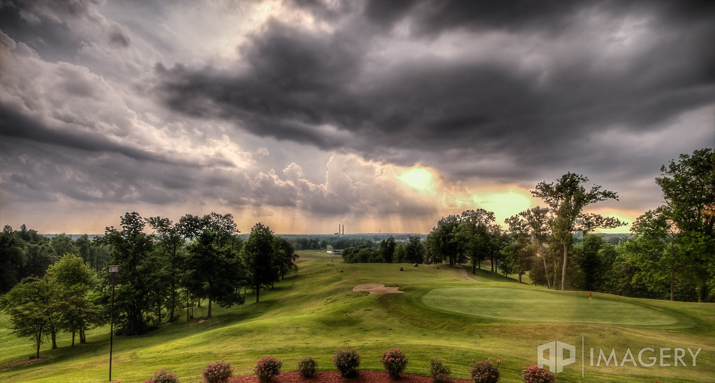
HDR - after storm

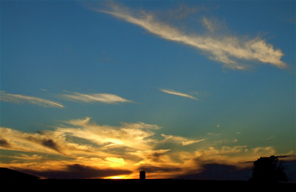
Rockport Sunrise
Topographic Map of S W, Rockport, IN, USA
Find elevation by address:

Places near S W, Rockport, IN, USA:
W S, Rockport, IN, USA
IN-66, Richland City, IN, USA
Rockport, IN, USA
Ohio Township
N Orchard Rd, Rockport, IN, USA
Rockport
Richland City
W County Rd N, Rockport, IN, USA
KY-, Owensboro, KY, USA
County Road 350 North
Maceo
KY-, Maceo, KY, USA
Ky-, Maceo, KY, USA
Tulip Lane
Grandview
4th St, Grandview, IN, USA
Indiana 66
Indiana 66
Indiana 66
Hammond Township
Recent Searches:
- Elevation of Corso Fratelli Cairoli, 35, Macerata MC, Italy
- Elevation of Tallevast Rd, Sarasota, FL, USA
- Elevation of 4th St E, Sonoma, CA, USA
- Elevation of Black Hollow Rd, Pennsdale, PA, USA
- Elevation of Oakland Ave, Williamsport, PA, USA
- Elevation of Pedrógão Grande, Portugal
- Elevation of Klee Dr, Martinsburg, WV, USA
- Elevation of Via Roma, Pieranica CR, Italy
- Elevation of Tavkvetili Mountain, Georgia
- Elevation of Hartfords Bluff Cir, Mt Pleasant, SC, USA