Elevation of S W Ave, Bollington, Macclesfield SK10 5DX, UK
Location: United Kingdom > England > Cheshire East > Bollington >
Longitude: -2.1108564
Latitude: 53.2893499
Elevation: 164m / 538feet
Barometric Pressure: 99KPa
Elevation Map:
Satellite Map:
Related Photos:
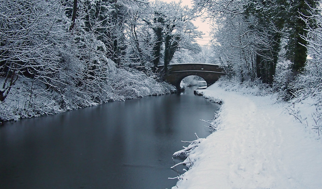
Canal Bridge 21
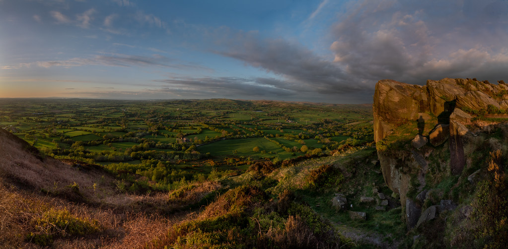
On The Cloud
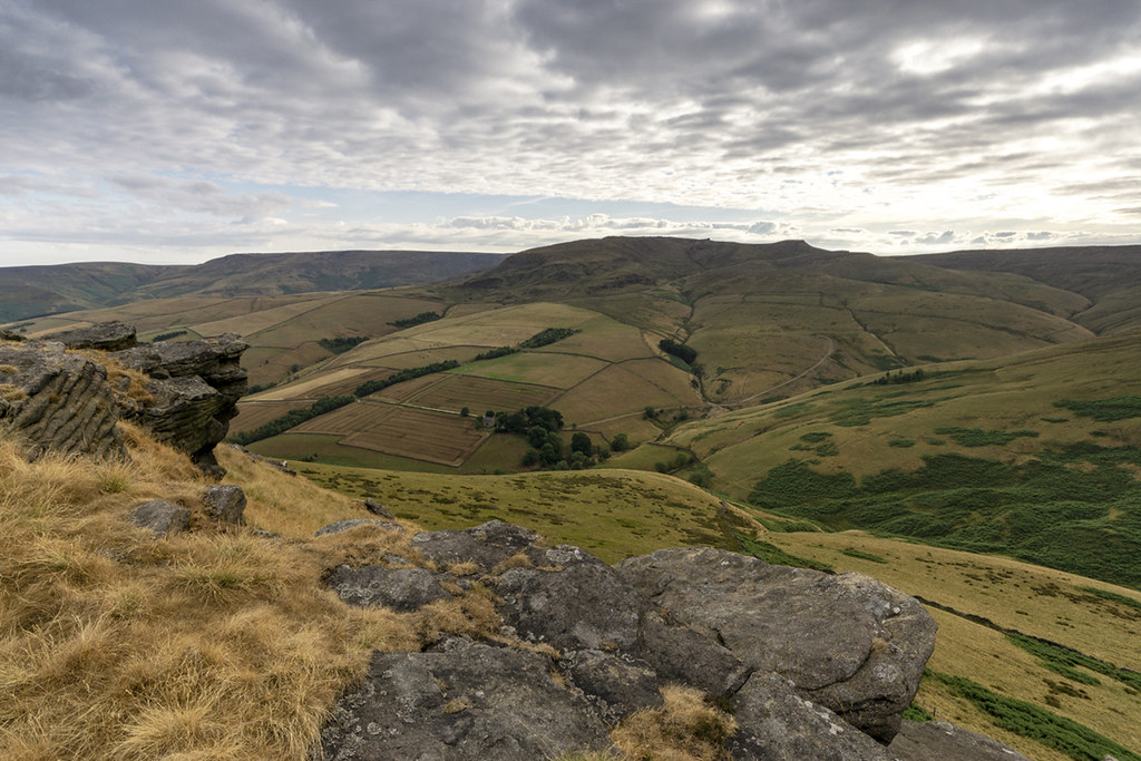
Peak 170...No 12 ...Hollins hill.

Shivering trees

Sheep grazing in the meadow, Gawsworth.
Buxton revisited

They Bridge The Faded Span
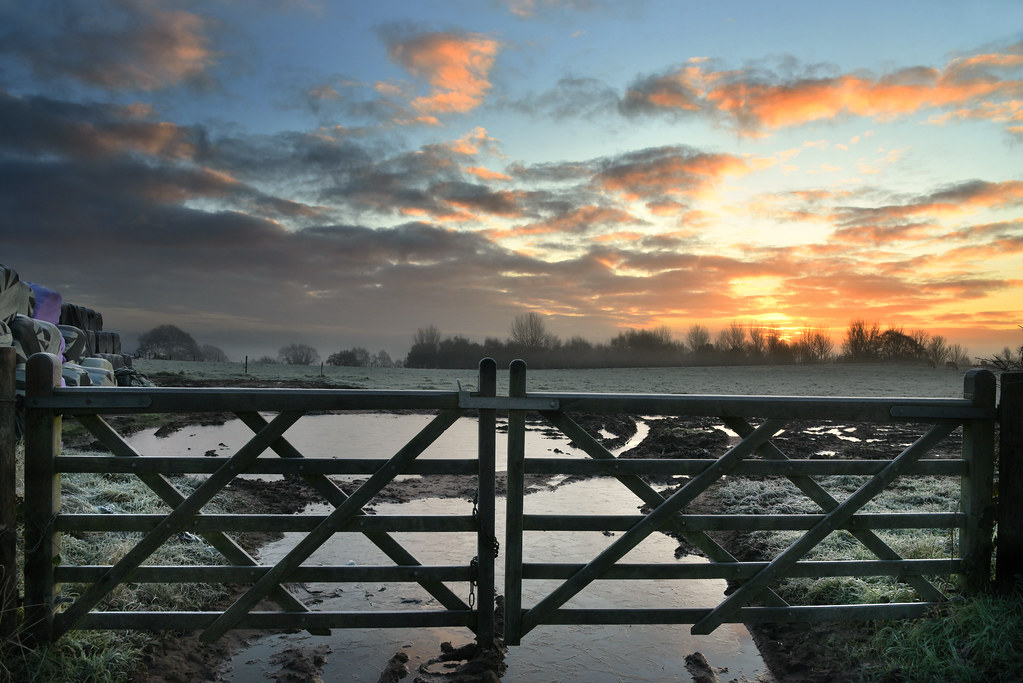
The muddy gateway

Village view

Morning Mists

exercising the view

I'ts a long way to the top

A54 Panoramic View

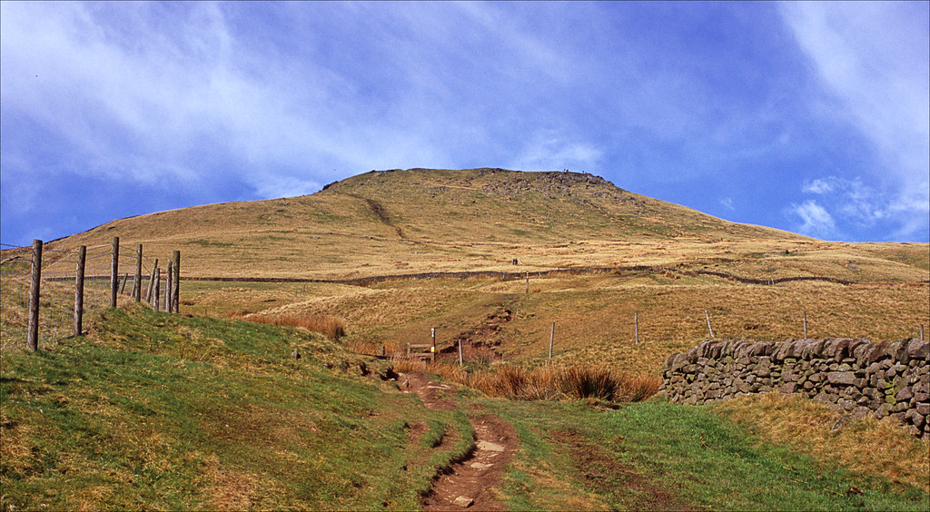
View to South Head

The Staffordshire Roaches trig point and my goal on a early morning walk offering spectacular views all arround. With the sound of grouse, curlews and skylarks early in the morning there are few places where you can appreciate what nature has created.
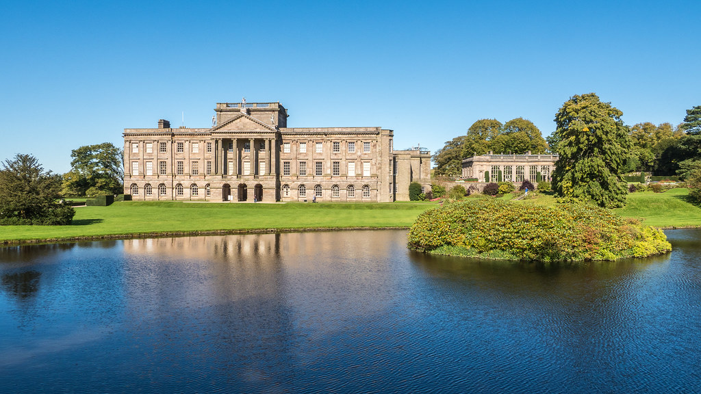
Lyme Hall

Chapel Milton Viaduct

Kinder Low End

View from Shining Tor
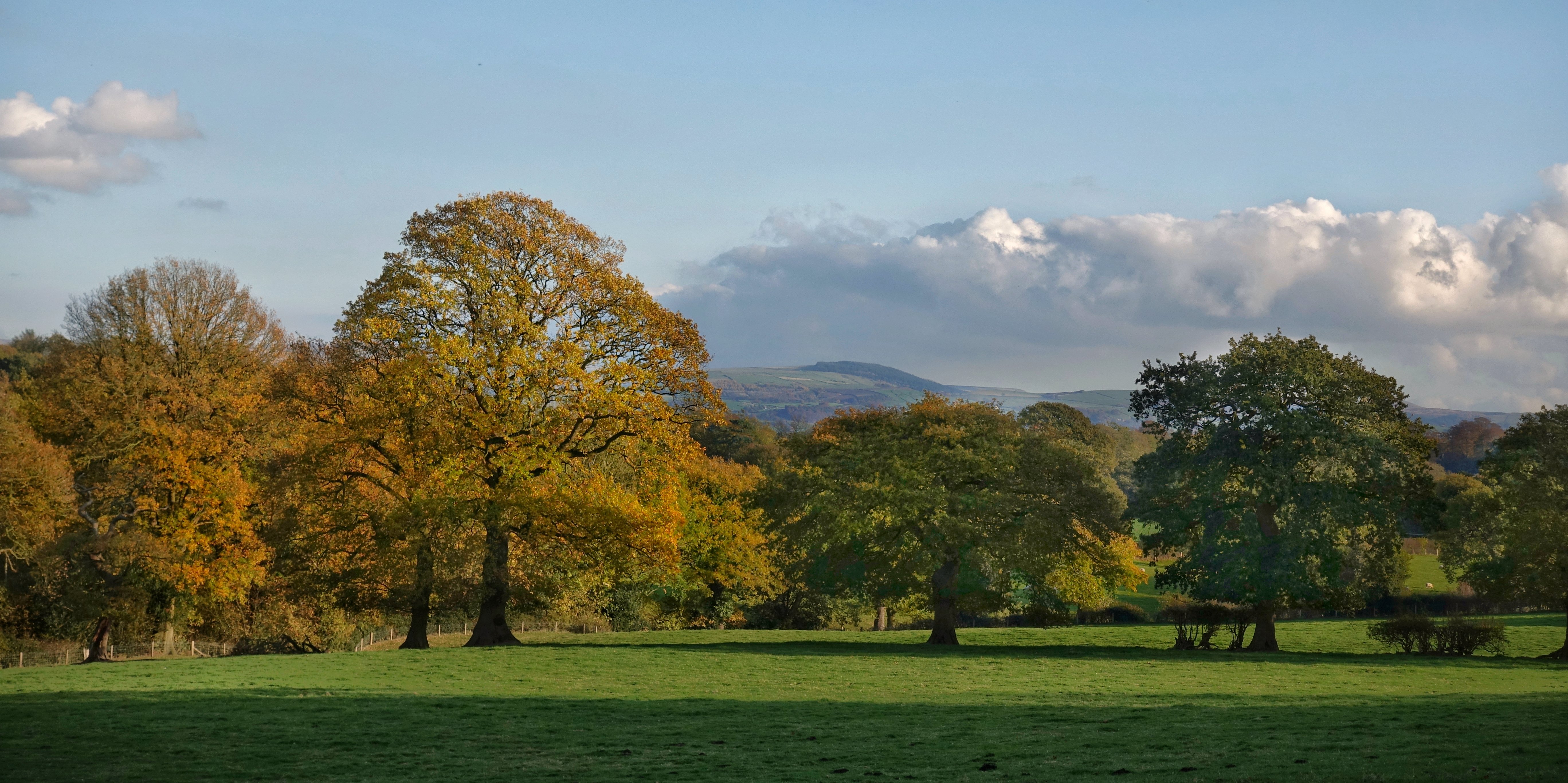
Autumnal view in the Alderley Edge Valley, Cheshire

Kerridge ridge view.

Autumnal colours in Congleton Park

you can see my house from here

The Village of Hayfield, High Peak, Derbyshire, England.

autumn in three counties

100 Peak tops...No 26...Cats tor.
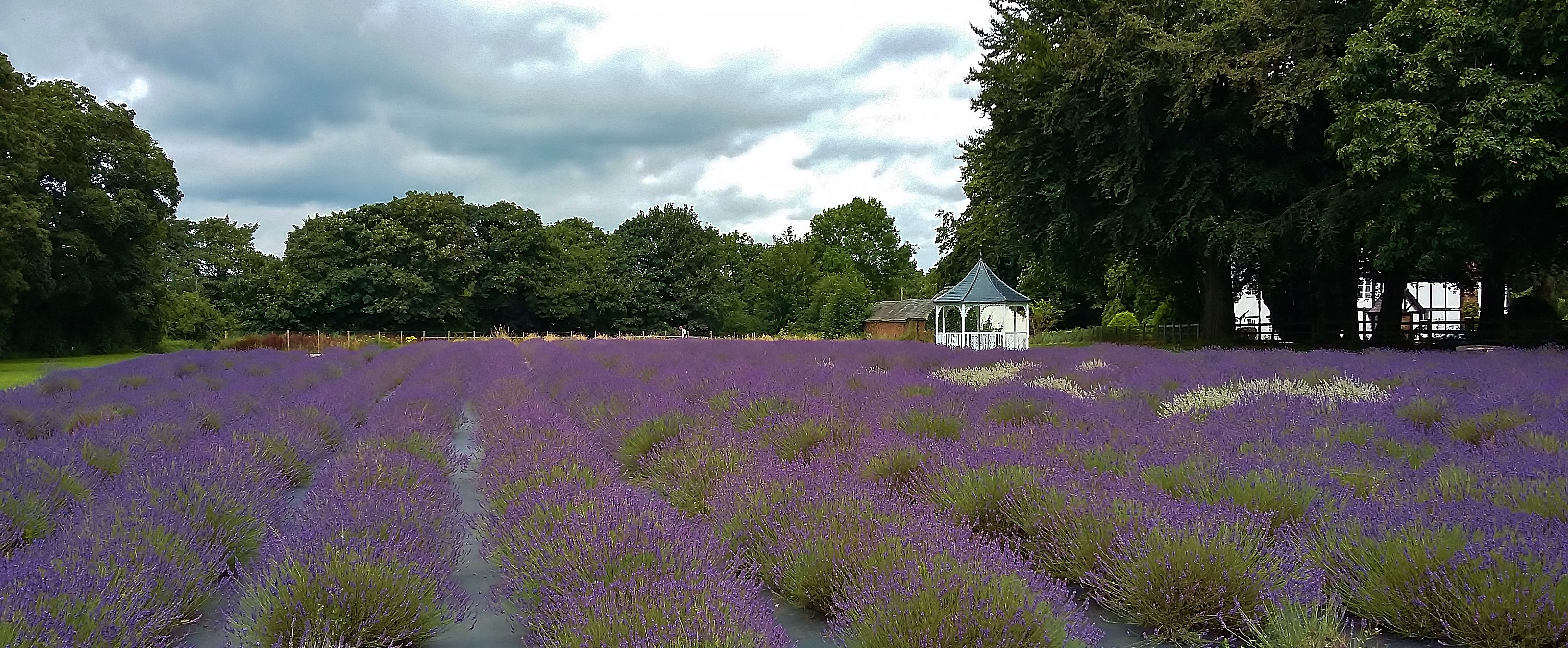
Lavender field

Roaches sunrise 2019

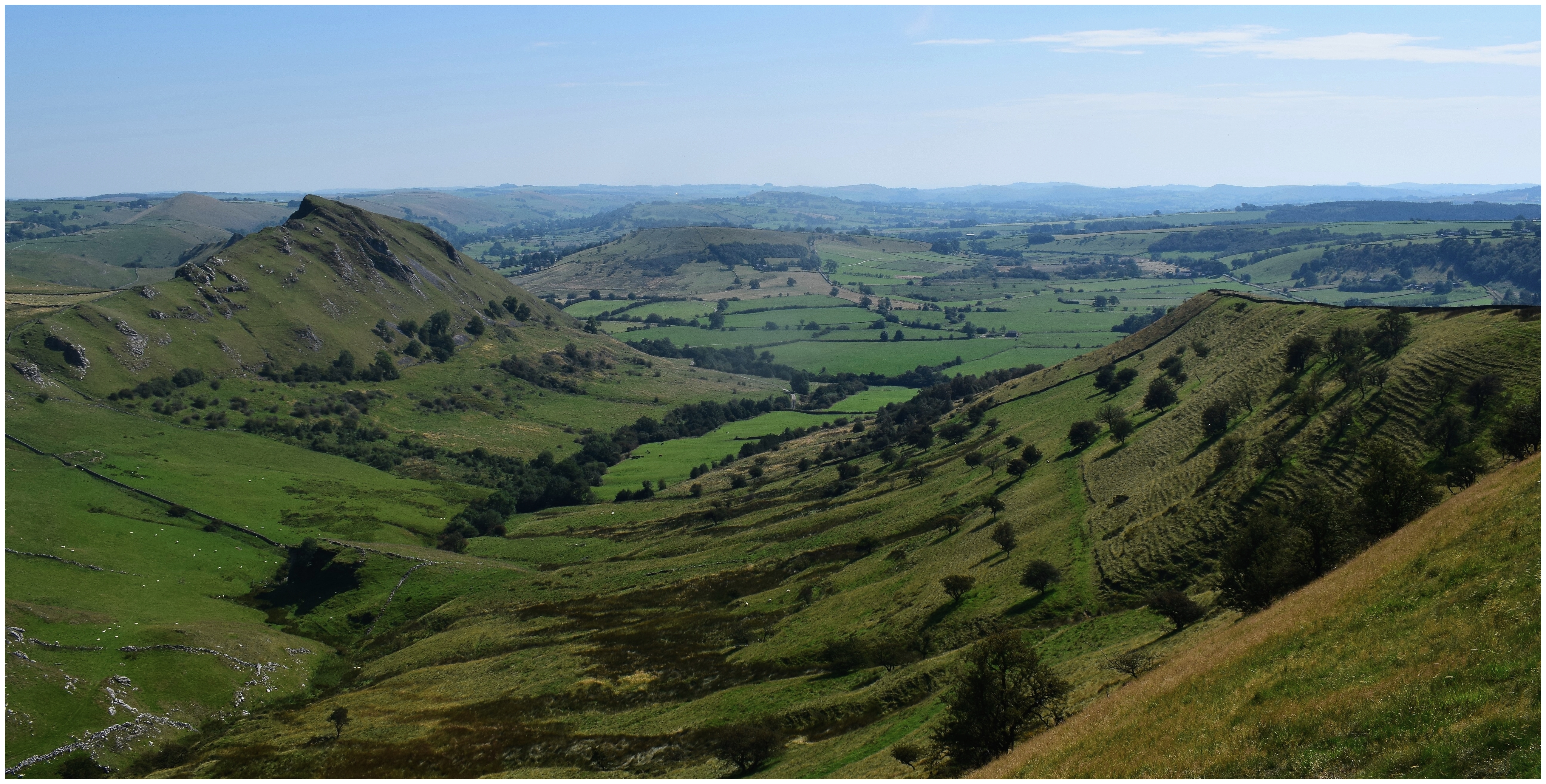
Peak District, Cheshire
Mount Famine

Rain clouds

Three Shires Head
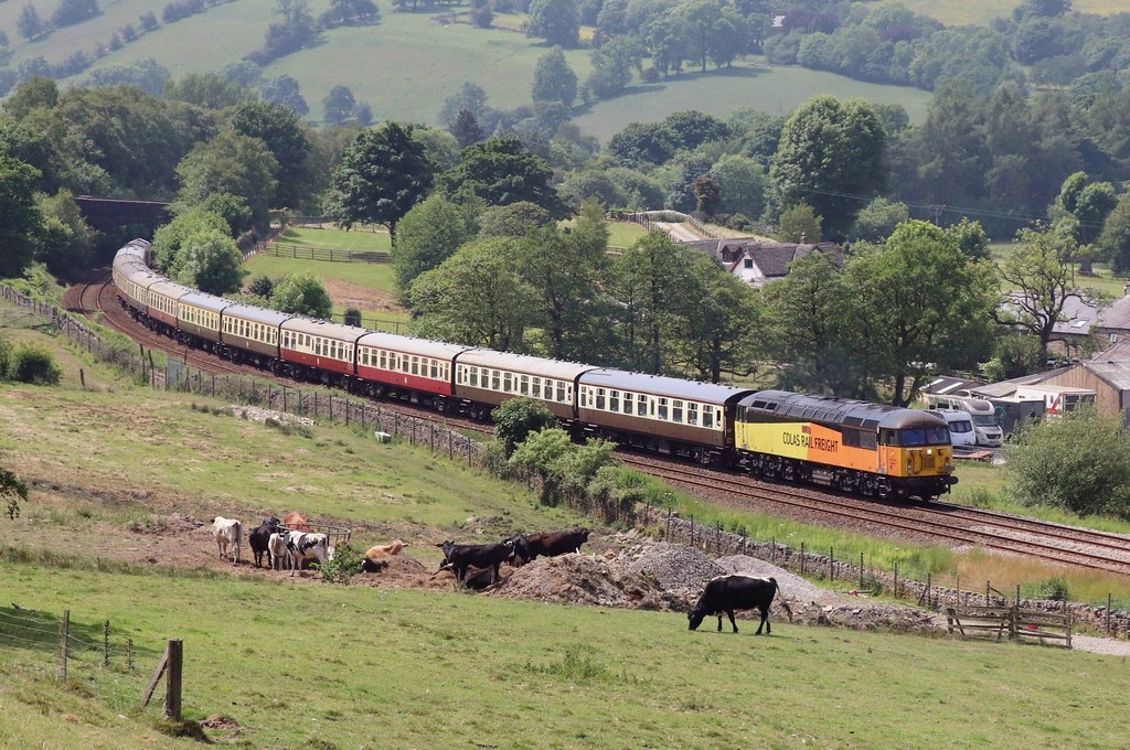
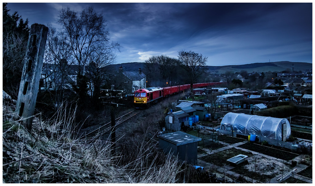
56302 - 1Z43.

In The Mist

Well fancy meeting you here .....
on the way up shutlingsloe

Panniers Pool

The Peak District view
Topographic Map of S W Ave, Bollington, Macclesfield SK10 5DX, UK
Find elevation by address:

Places near S W Ave, Bollington, Macclesfield SK10 5DX, UK:
Sk10 5hs
Haven House
23 Stapleton Rd, Macclesfield SK10 3NP, UK
Adlington
32 Vernon Rd
Poynton
Woodford Aerodrome
Peveril Drive
Hazel Grove
Sk7 4dj
Sk2 7na
Stockport District
Cheadle Hulme High School
Heaviley Grove
20 Banks Ln
Sk1 4ja
Sk10 4tf
Cheadle Hulme
Wilmslow
Railway Road
Recent Searches:
- Elevation of Corso Fratelli Cairoli, 35, Macerata MC, Italy
- Elevation of Tallevast Rd, Sarasota, FL, USA
- Elevation of 4th St E, Sonoma, CA, USA
- Elevation of Black Hollow Rd, Pennsdale, PA, USA
- Elevation of Oakland Ave, Williamsport, PA, USA
- Elevation of Pedrógão Grande, Portugal
- Elevation of Klee Dr, Martinsburg, WV, USA
- Elevation of Via Roma, Pieranica CR, Italy
- Elevation of Tavkvetili Mountain, Georgia
- Elevation of Hartfords Bluff Cir, Mt Pleasant, SC, USA