Elevation of S Turkey Creek Rd, Leicester, NC, USA
Location: United States > North Carolina > Buncombe County > Leicester > Leicester >
Longitude: -82.776598
Latitude: 35.605271
Elevation: 823m / 2700feet
Barometric Pressure: 92KPa
Elevation Map:
Satellite Map:
Related Photos:

The view from our bedroom in Asheville

Early Morning
Liberty Orientation
Another gorgeous Carolina day

THREE WINDOWS ON MAIN ST
The view from Crabtree Mountain at sunset.
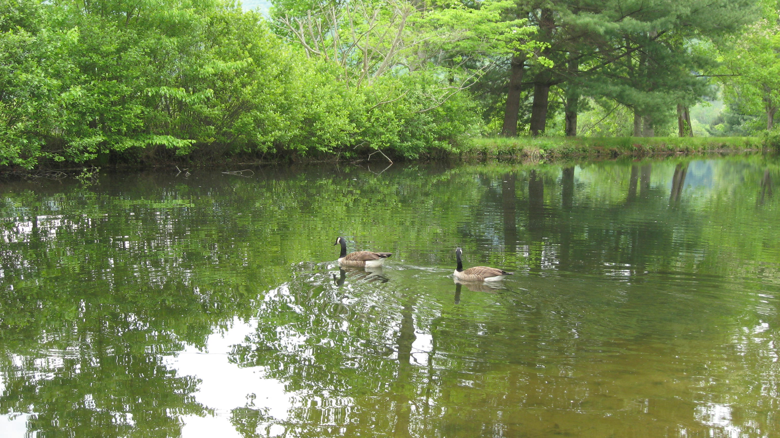
Local geese enjoying a swim

View from one of the Pisgah View Ranch trails
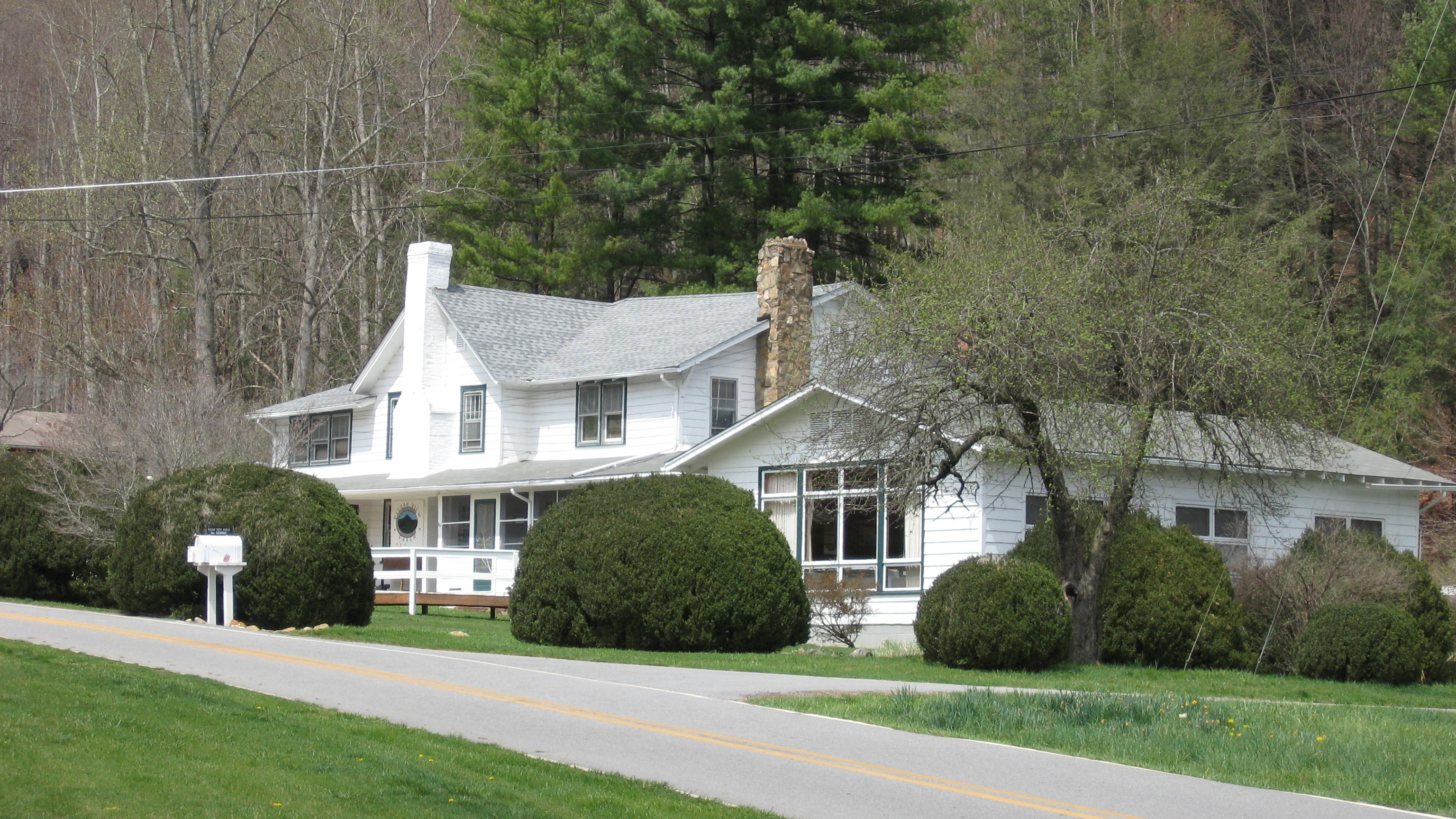
Pisgah View Ranch House
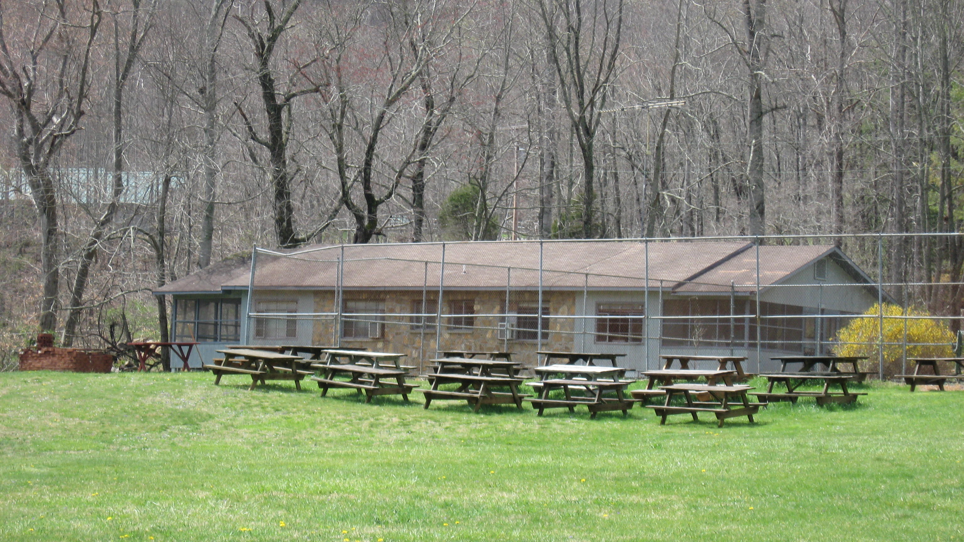
Cookout area, tennis court & Lakeside cabins

Whiskey & Gin (ranch dogs)

Sunrise & Tollgate Cottages
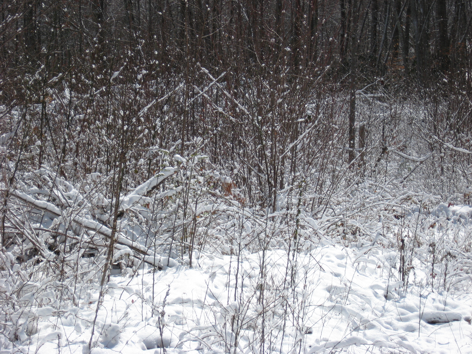
Snow at Pisgah View Ranch

Pisgah View Ranch Wedding in April 2007

Lakeside Cabins

Guests fishing in the lower pond

Pixies Pocket™ Bunny Hunny

Messer Rd.

Tagged bridge pillar, view 2
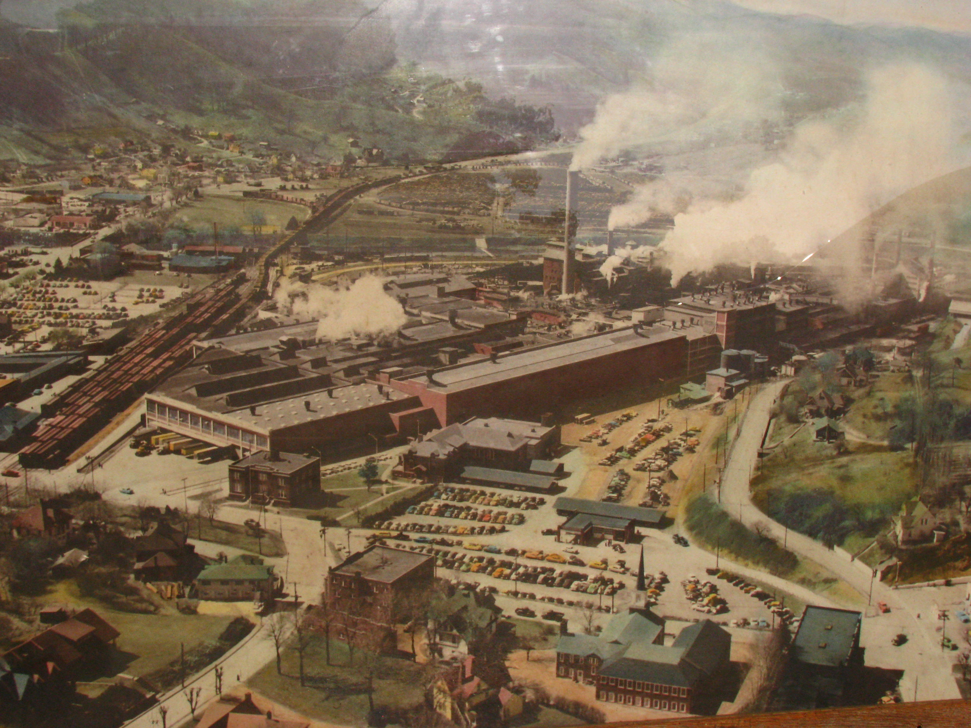
Aerial view of Champion Paper Mill, circa 1950 — dimensions: ~ 3 x 4 ft

Picking berries

Parallel Discomforts
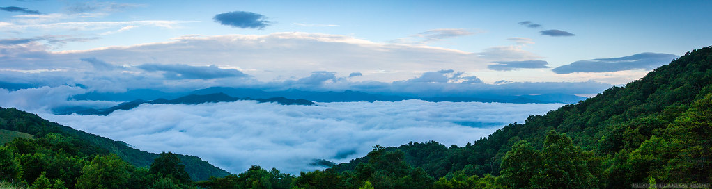
Mountain Mornings
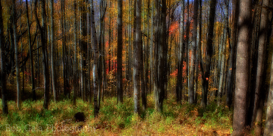
Fall Forrest
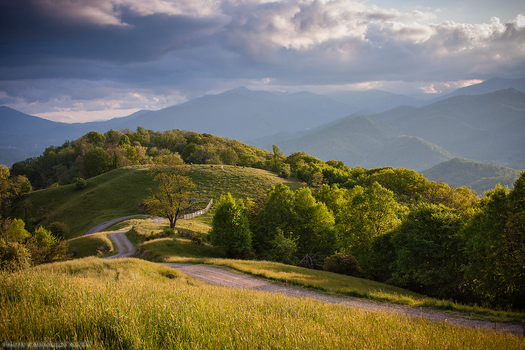
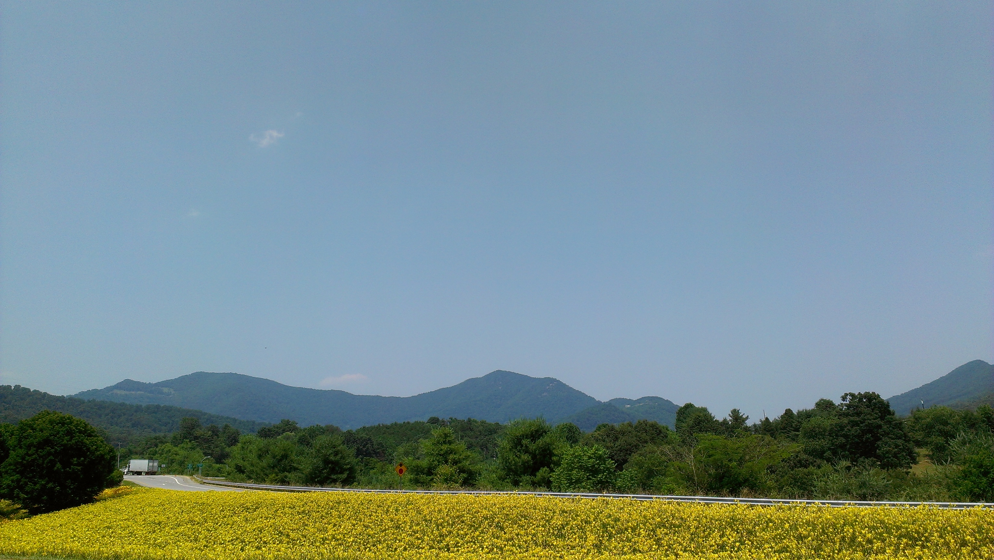
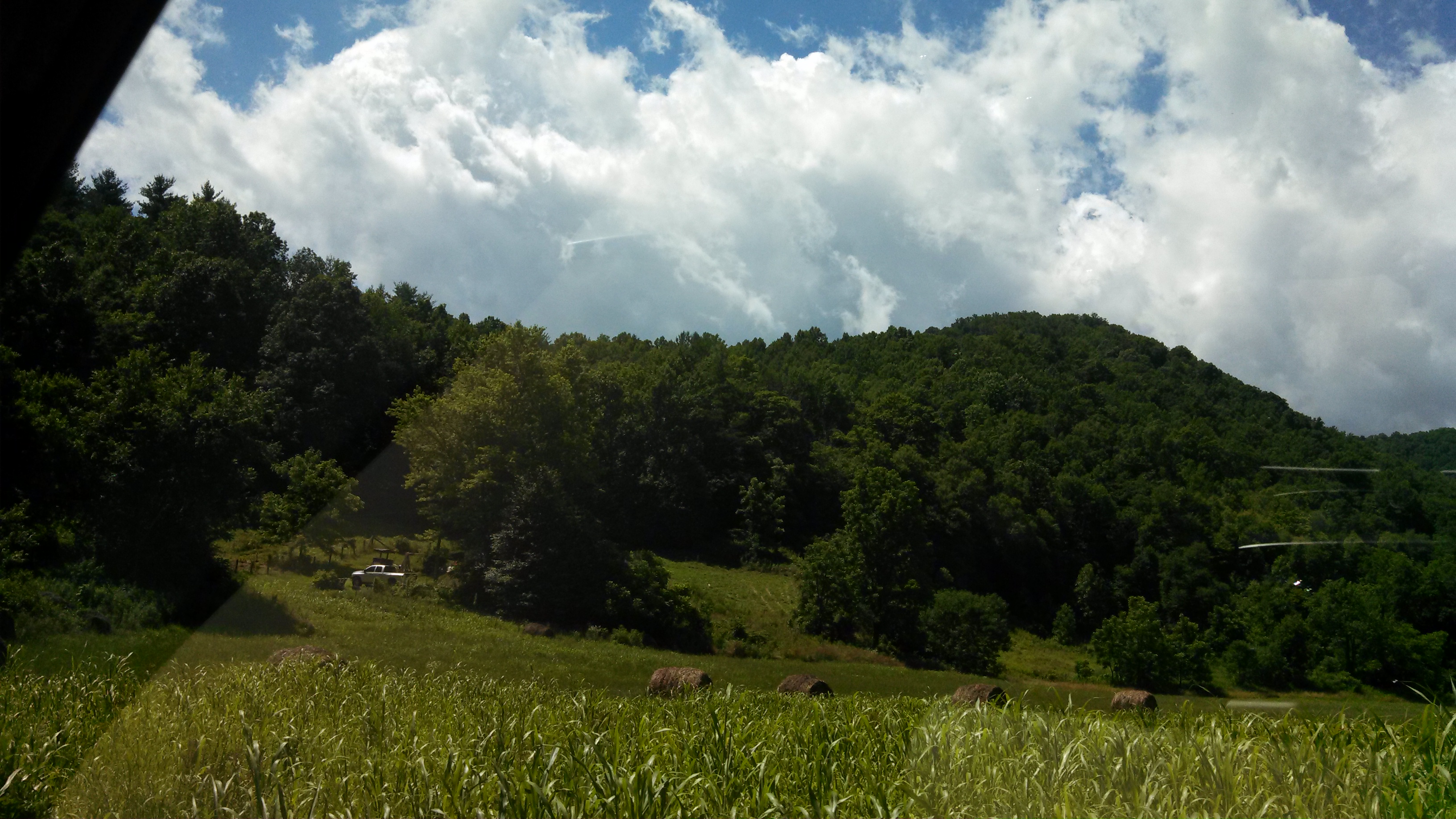
Golden Pasture
Goodnight Smokies
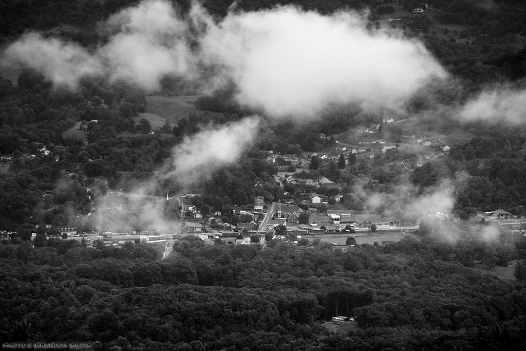
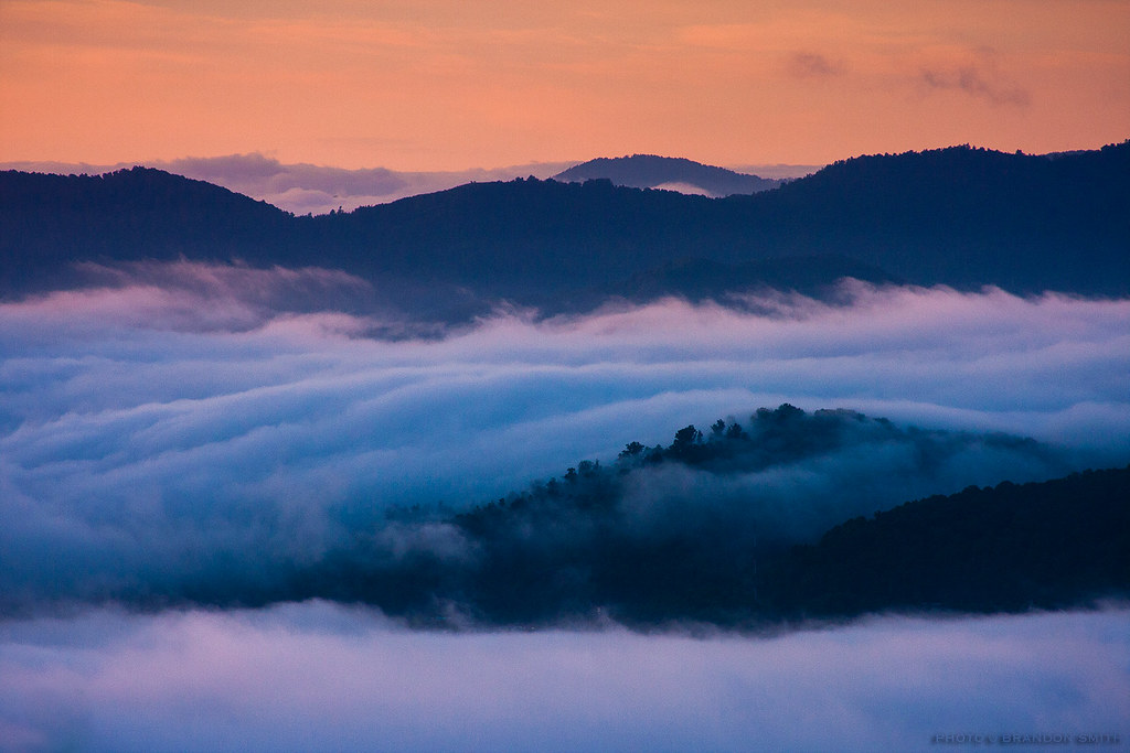
Rumble in the Valley
Asheville 2013

Grass seed
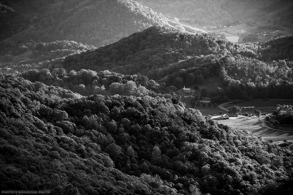
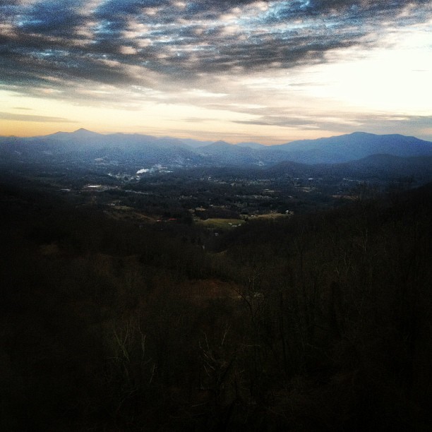
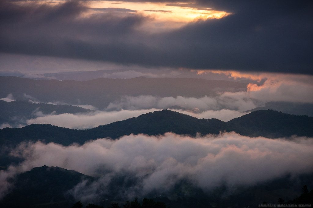
Valley Shadows

Front yard.
Hidden Valley
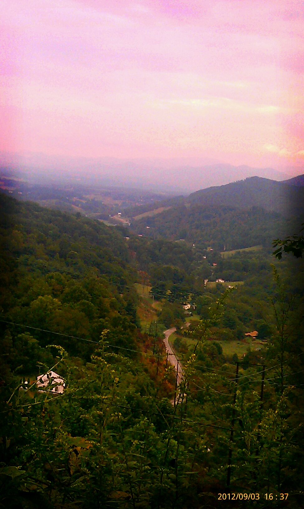
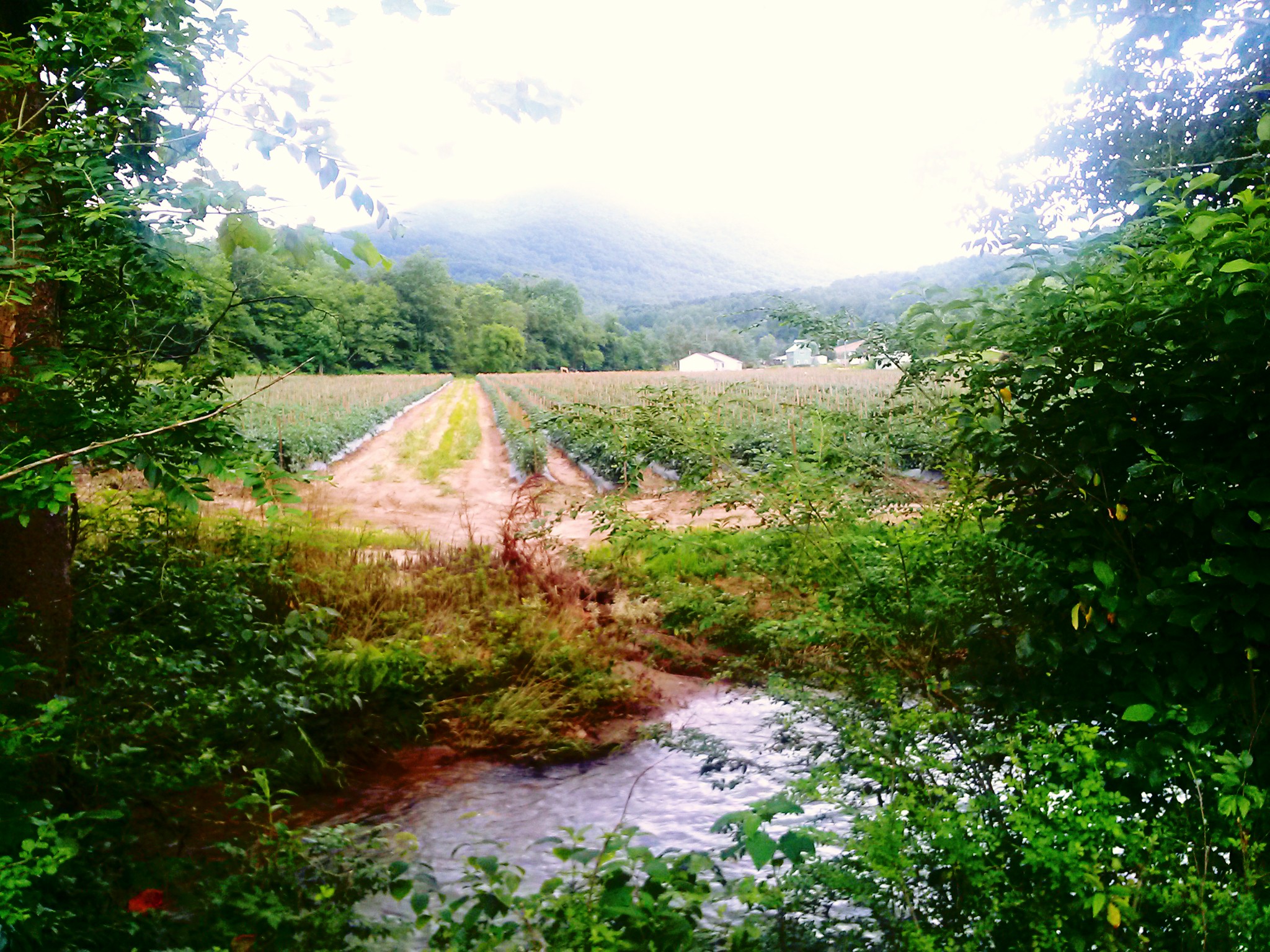
Leicester, NC outside of Asheville, NC..

Side yard.

All Photos-58
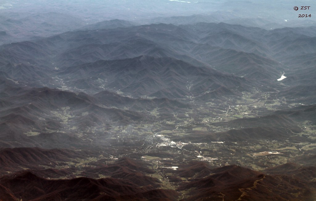
Canton, NC

Flowers of the field

Baby Goats!

Crabtree Falls, Nelson County VA
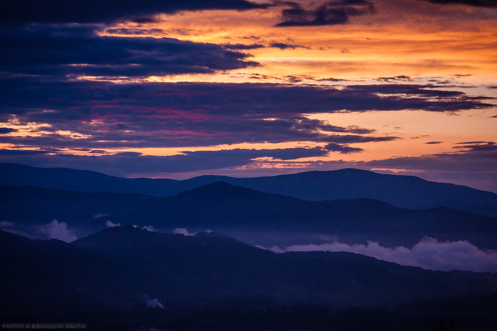
Blue Ridge Sunset
Topographic Map of S Turkey Creek Rd, Leicester, NC, USA
Find elevation by address:

Places near S Turkey Creek Rd, Leicester, NC, USA:
46 Michelle Ln
181 Walnut Dr
121 Walnut Dr
27 Stony Pond Ln
70 Rocky Acres
6 Stonegate Trail
1397 Newfound Rd
Potato Branch Road
2088 Worley Cove Rd
129 Bearwallow Trail
431 Hawks View Dr
1445 Newfound Rd
44 Elevacres Rd
45 Elevacres Rd
1900 Newfound Rd
289 Hawks View Dr
8 Dark Cove Rd
Hawks View Drive
Hawks View Drive
Hawks View Drive
Recent Searches:
- Elevation of Corso Fratelli Cairoli, 35, Macerata MC, Italy
- Elevation of Tallevast Rd, Sarasota, FL, USA
- Elevation of 4th St E, Sonoma, CA, USA
- Elevation of Black Hollow Rd, Pennsdale, PA, USA
- Elevation of Oakland Ave, Williamsport, PA, USA
- Elevation of Pedrógão Grande, Portugal
- Elevation of Klee Dr, Martinsburg, WV, USA
- Elevation of Via Roma, Pieranica CR, Italy
- Elevation of Tavkvetili Mountain, Georgia
- Elevation of Hartfords Bluff Cir, Mt Pleasant, SC, USA