Elevation of S Tomahawk Rd, Apache Junction, AZ, USA
Location: United States > Arizona > Pinal County > Apache Junction >
Longitude: -111.5310019
Latitude: 33.4128763
Elevation: 534m / 1752feet
Barometric Pressure: 0KPa
Related Photos:
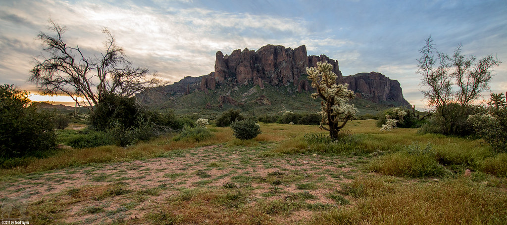
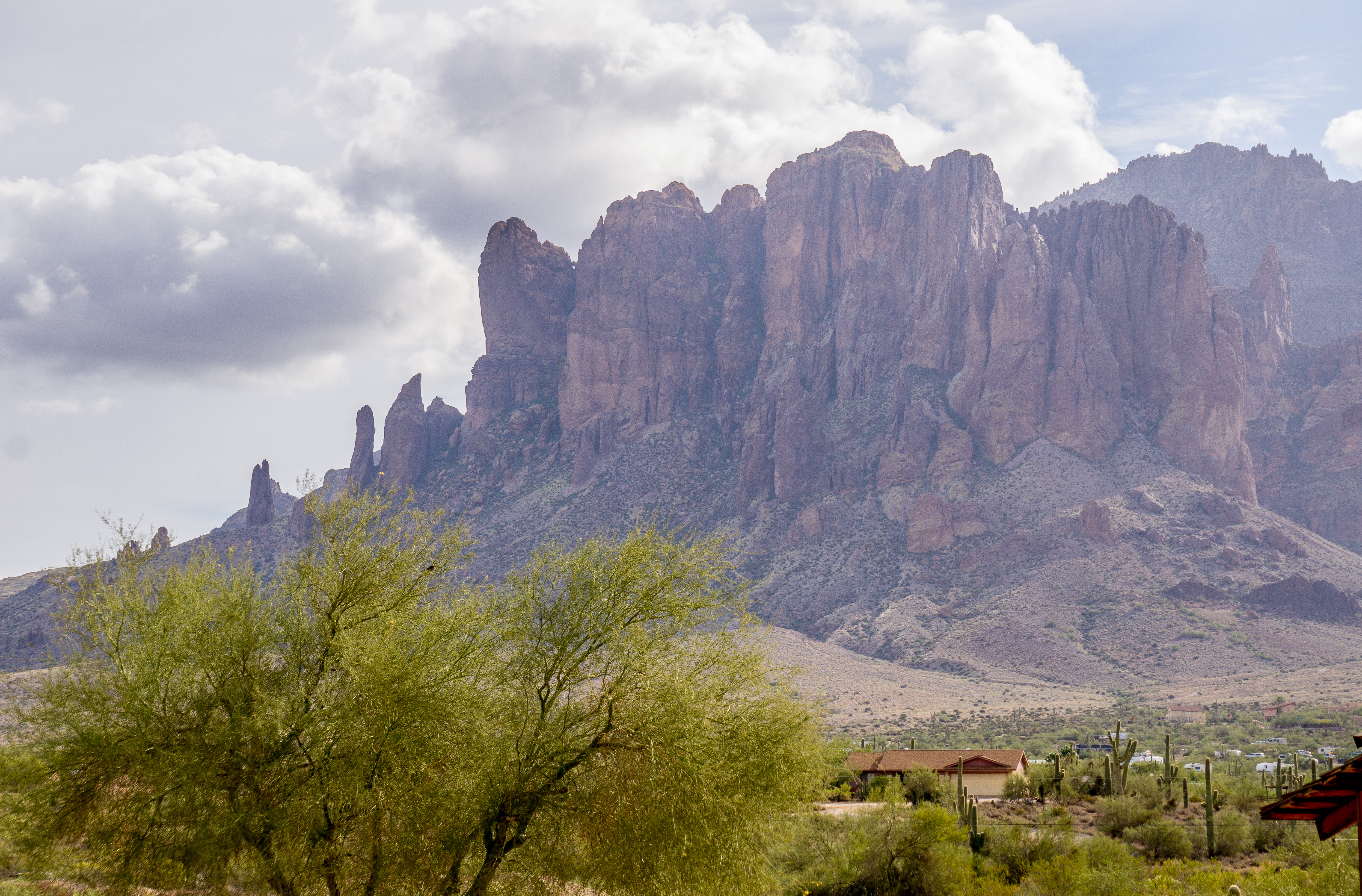
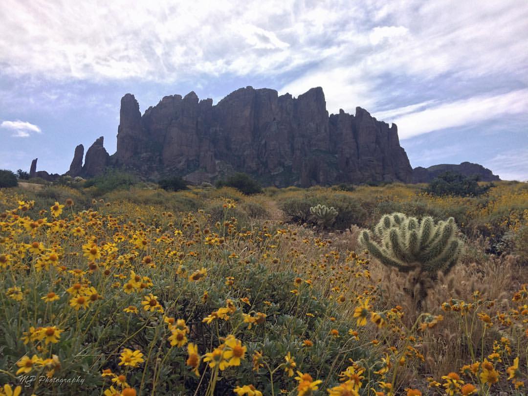
Lost Dutchman State Park
Siphon Draw from Lost Dutchman State Park - Superstition Wilderness

Twig the Fairy here in AZ with all new wardrobe!
Siphon Draw from Lost Dutchman State Park - Superstition Wilderness

Budweiser Beer Mural on Closed-down Convenience Store, Mesa, Arizona, View 1
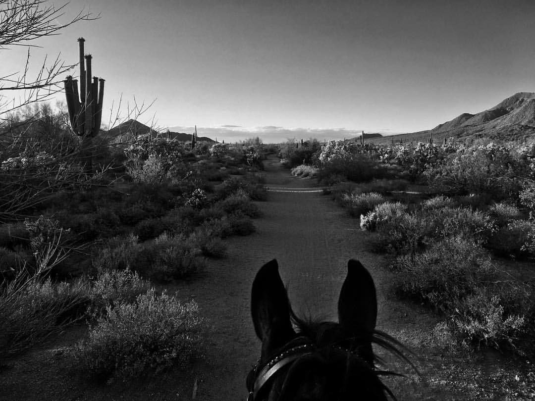
View from the saddle tonight. #coffeeken #horsesofinstagram #morganhorse #eddiethewonderhorse #trailride #vzco_of_our_world
The view along the trail today. #coffeeken #cbs5az #beon12 #divine_deserts #vzco_of_our_world #dobeglobe #adventuretoanywhere #arizonaisgorgeous #trailride

One of my favorite spots: Lost Dutchman Road

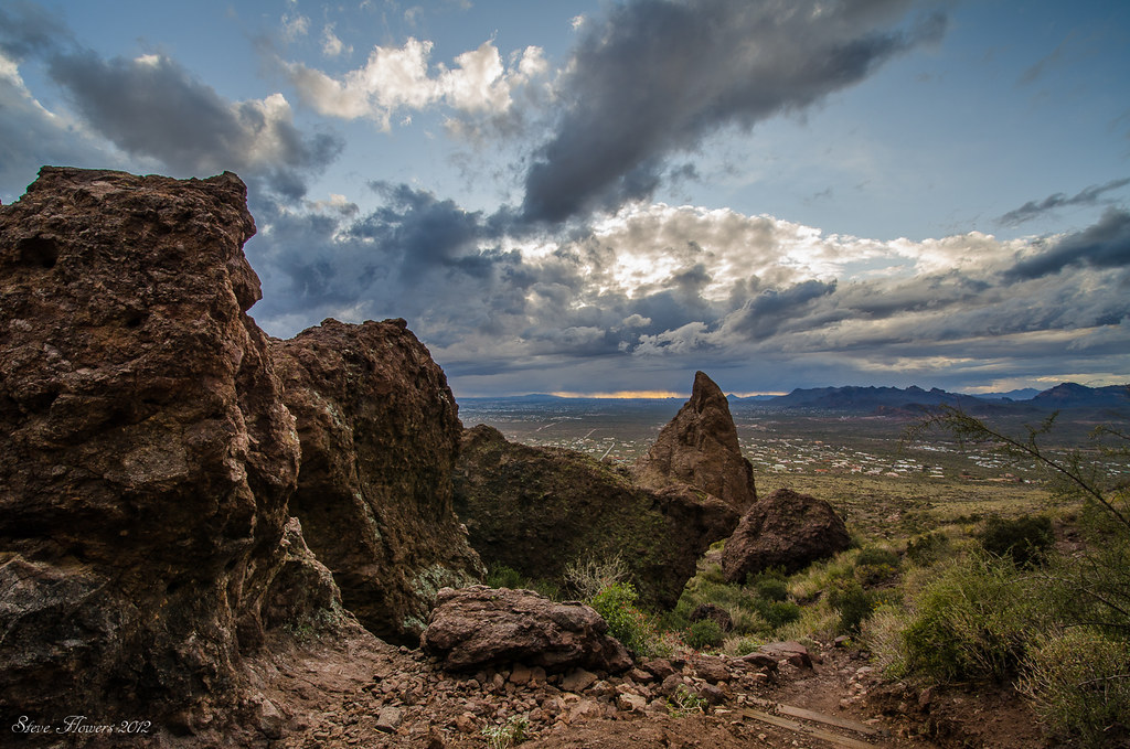
Admiring the View

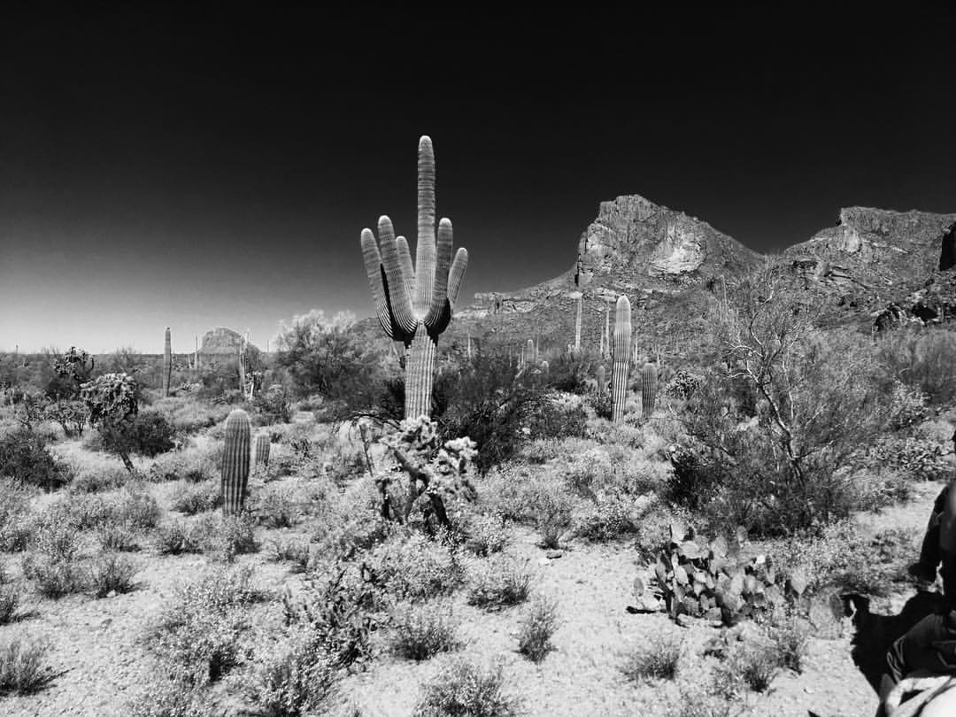
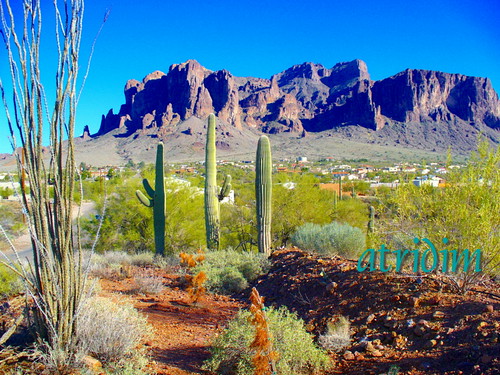
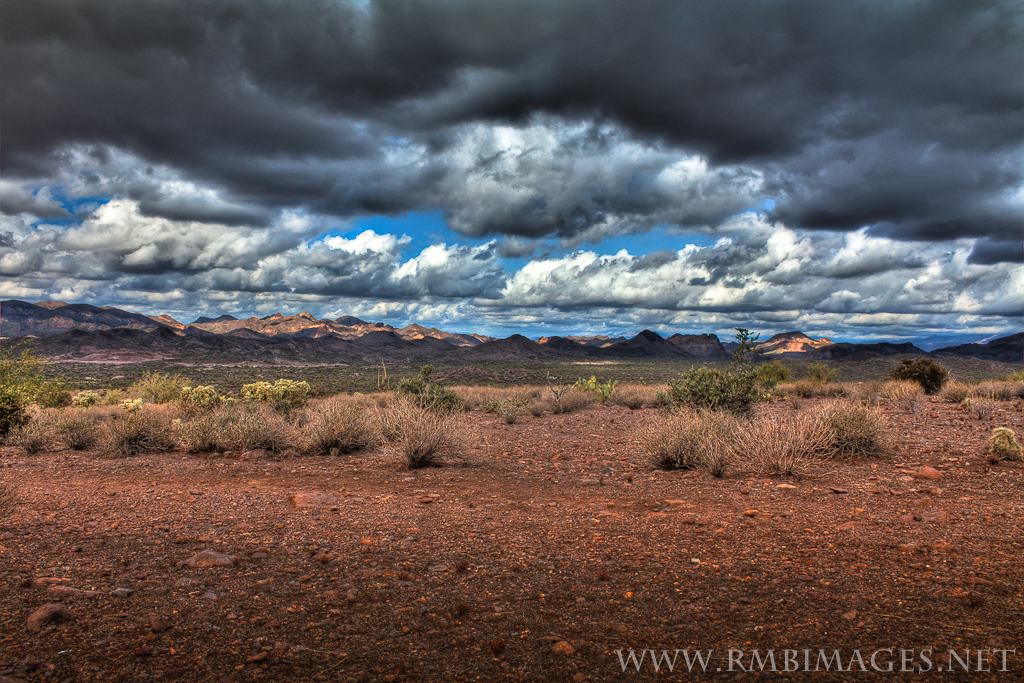
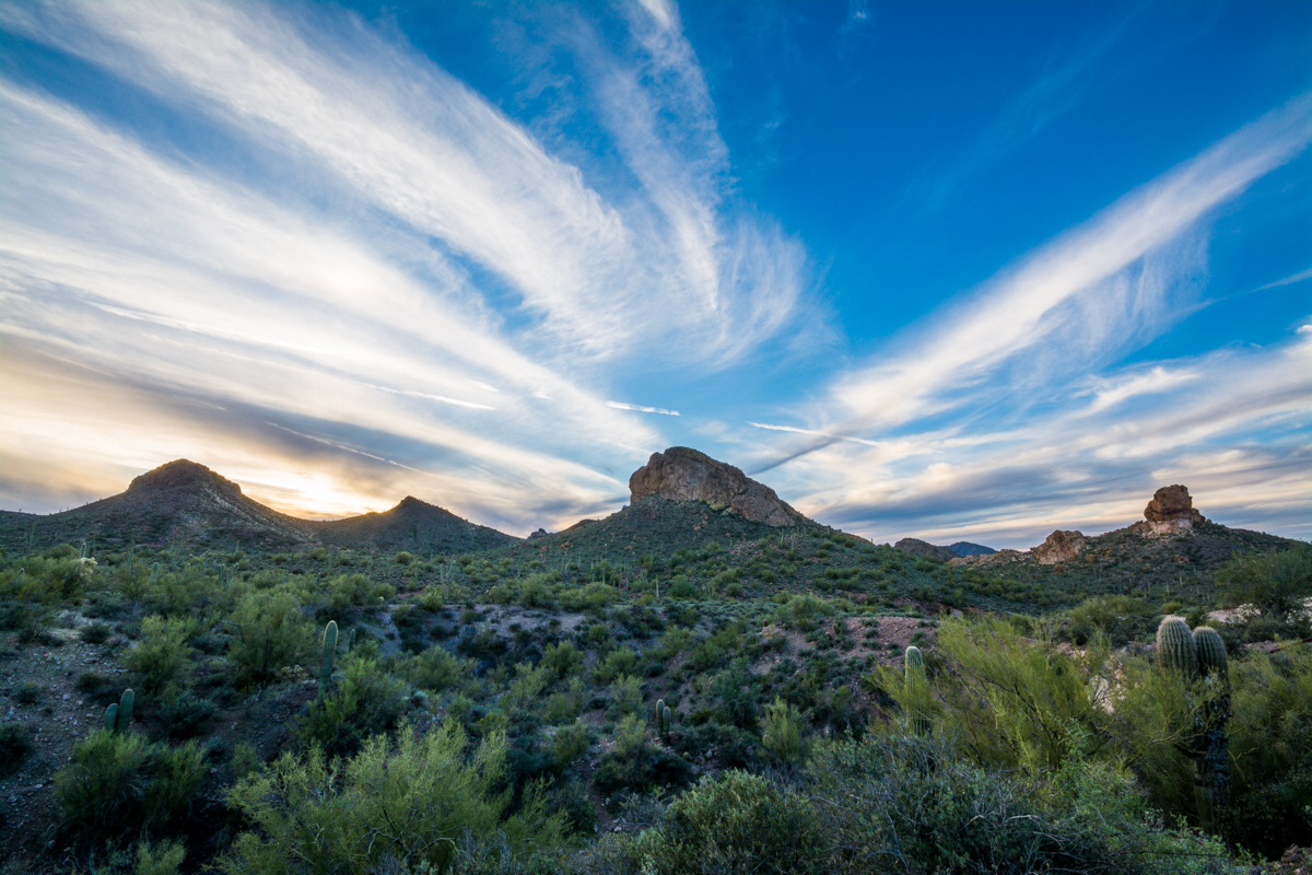
Superstition Mountains

Superstitions 1
Happy Trails
Siphon Draw. Looking out.
A great view of Red Mountain. #coffeeken #visitmesa #environmentaz #adventuretoanywhere #divine_deserts #letsgosomewhere #trailriding #EarlyBirdRide

Vintage Neon Sign with Curvy Red Arrow, West View: Trails West Motel, Mesa, AZ

Vintage Neon Sign with Cool, Curvy Red Arrow, East View: Trails West Motel, Mesa, AZ
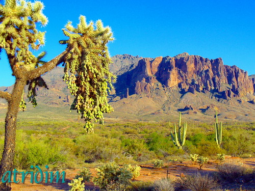
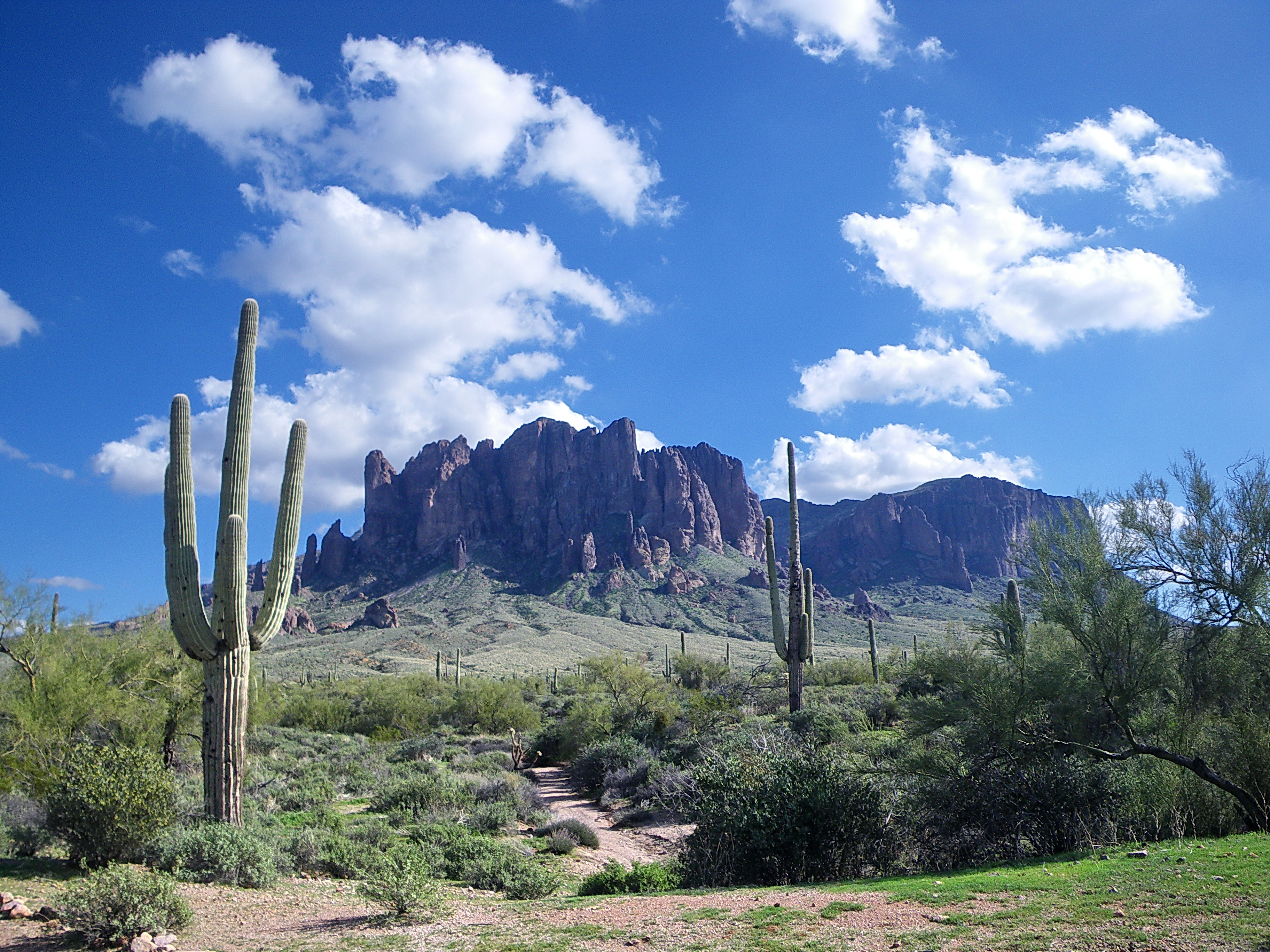
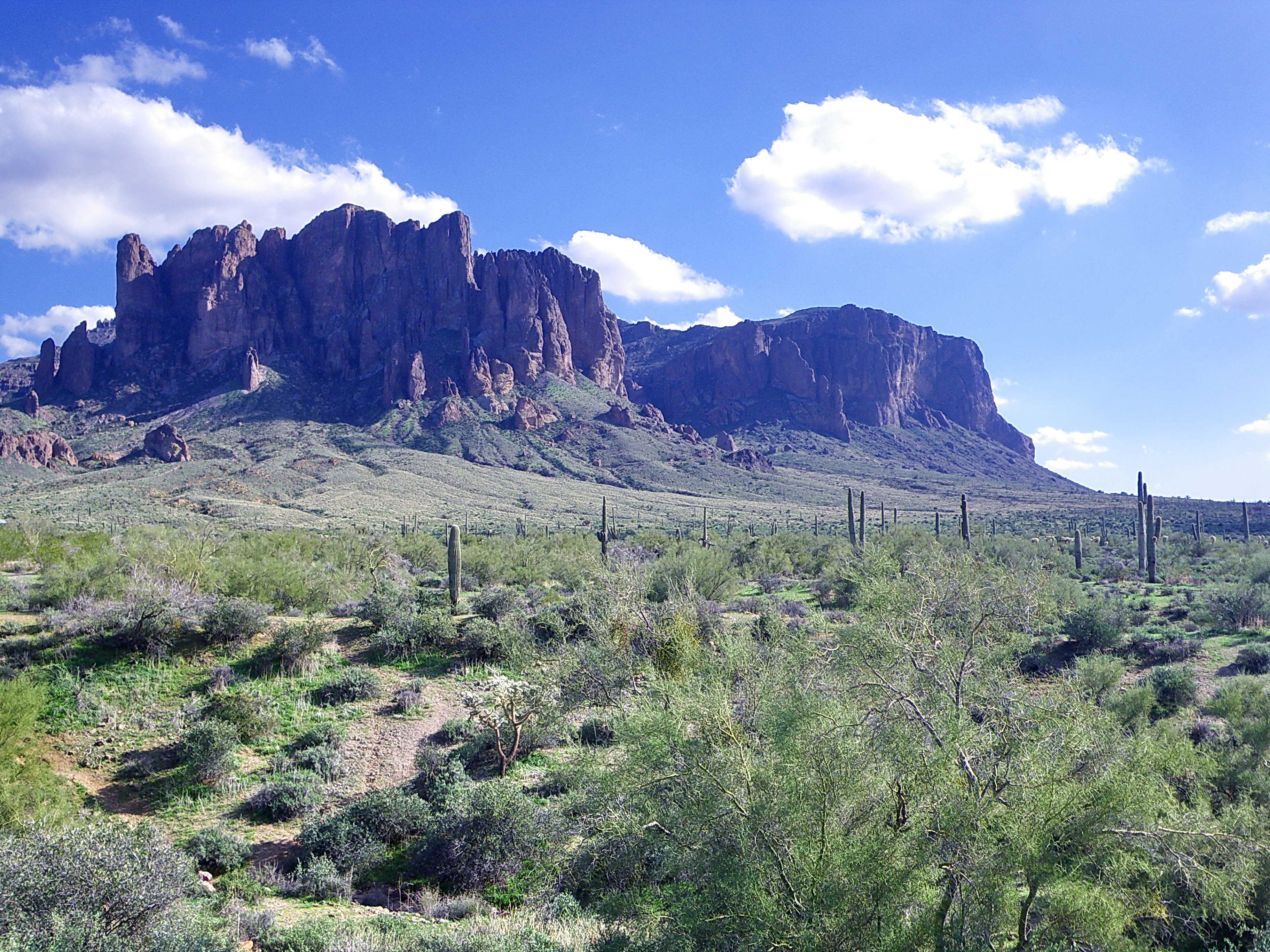
Superstition Mountain, Arizona
Superstition Mountain, Arizona
Mile 4. We went the extra distance, what a view. #CoffeeKen #wildernessculture #wildernessquest #earthinstagram #running #runnersworld #trails #trailrunning #travel #userymountainpark #instagramearth #outdoors #arizonahighways #AZ365 #apachejunctionaz @be
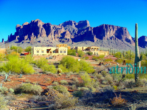
Superstition Mountain, Arizona
Superstition Mountain, Arizona
Kovacs Korner, Apache Junction - Arizona

Sun, Stone, and Sky in the Superstitions
Elvis Memorial Chapel, Superstition Mountain Museum - Arizona

Four Peaks

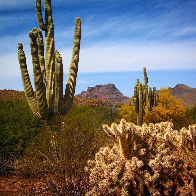
Superstition Mountains and Sonoran desert with Saguaro at sunset - Gold Canyon, Arizona

Man fishing in Bulldog Canyon
Hoodoos on High
Vue sur le Flatiron & Lost Dutchman State Park

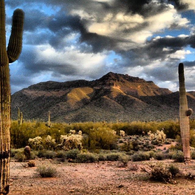
Waiting for sunset in Arizona's Superstition Mountains.
Tonto Terrain
Morning hike in fields of gold. 3.31.17 ????????
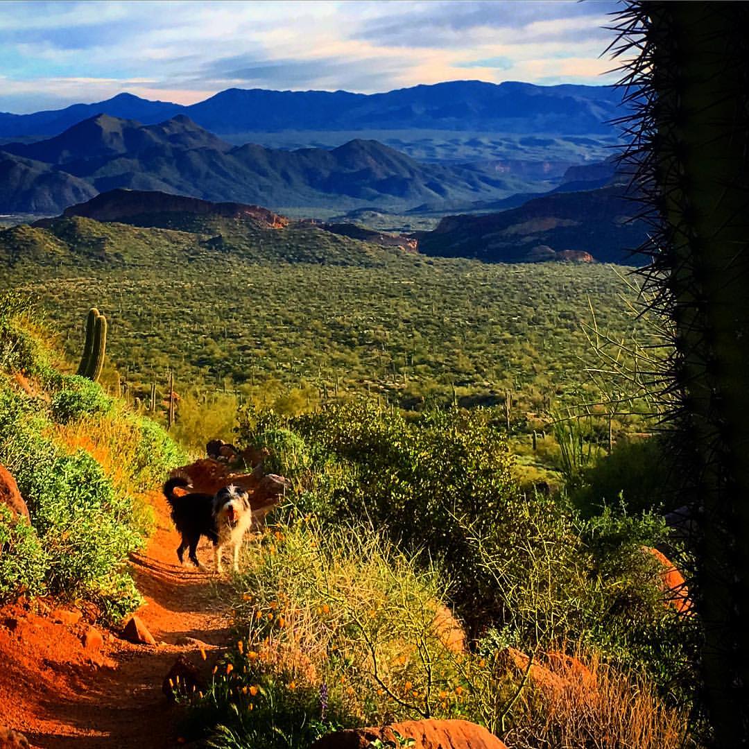
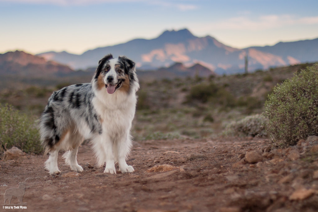
George is quite happy to be out today. #coffeeken #hikingadventures #visitmesa #dogs #hikeaz
It looked even better without my car parked in front of it...

Jerome 2013
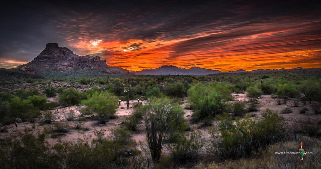
Primal Dawn #sunrise #desert #mesa #arizona #nikon

Superstition Mountain, Arizona
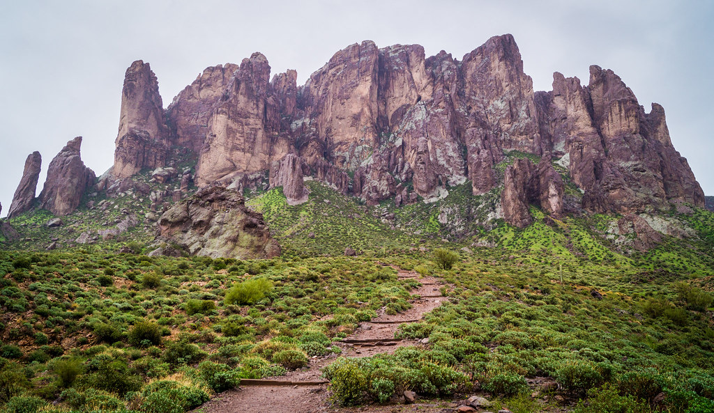
Lost Dutchman State Park
Topographic Map of S Tomahawk Rd, Apache Junction, AZ, USA
Find elevation by address:

Places near S Tomahawk Rd, Apache Junction, AZ, USA:
76 N Tomahawk Rd
88 S Winchester Rd
1000 S Idaho Rd
Apache Junction
1687 N Wickiup Rd
1879 N Hilton Rd
432 W Windsong St
432 W Windsong St
432 W Windsong St
432 W Windsong St
280 N Boyd Rd
4337 E Scenic St
271 N Muleshoe Rd
700 S Stardust Ln
1077 N Shotgun Ct
1075 S Mountain View Rd
4150 N Cactus Rd
105 N Delaware Dr
1366 E Whiteley St
976 N Sun Rd
Recent Searches:
- Elevation map of Greenland, Greenland
- Elevation of Sullivan Hill, New York, New York, 10002, USA
- Elevation of Morehead Road, Withrow Downs, Charlotte, Mecklenburg County, North Carolina, 28262, USA
- Elevation of 2800, Morehead Road, Withrow Downs, Charlotte, Mecklenburg County, North Carolina, 28262, USA
- Elevation of Yangbi Yi Autonomous County, Yunnan, China
- Elevation of Pingpo, Yangbi Yi Autonomous County, Yunnan, China
- Elevation of Mount Malong, Pingpo, Yangbi Yi Autonomous County, Yunnan, China
- Elevation map of Yongping County, Yunnan, China
- Elevation of North 8th Street, Palatka, Putnam County, Florida, 32177, USA
- Elevation of 107, Big Apple Road, East Palatka, Putnam County, Florida, 32131, USA
- Elevation of Jiezi, Chongzhou City, Sichuan, China
- Elevation of Chongzhou City, Sichuan, China
- Elevation of Huaiyuan, Chongzhou City, Sichuan, China
- Elevation of Qingxia, Chengdu, Sichuan, China
- Elevation of Corso Fratelli Cairoli, 35, Macerata MC, Italy
- Elevation of Tallevast Rd, Sarasota, FL, USA
- Elevation of 4th St E, Sonoma, CA, USA
- Elevation of Black Hollow Rd, Pennsdale, PA, USA
- Elevation of Oakland Ave, Williamsport, PA, USA
- Elevation of Pedrógão Grande, Portugal