Elevation of S th St, Eagle, NE, USA
Location: United States > Nebraska > Eagle >
Longitude: -96.426258
Latitude: 40.7839835
Elevation: 384m / 1260feet
Barometric Pressure: 97KPa
Elevation Map:
Satellite Map:
Related Photos:

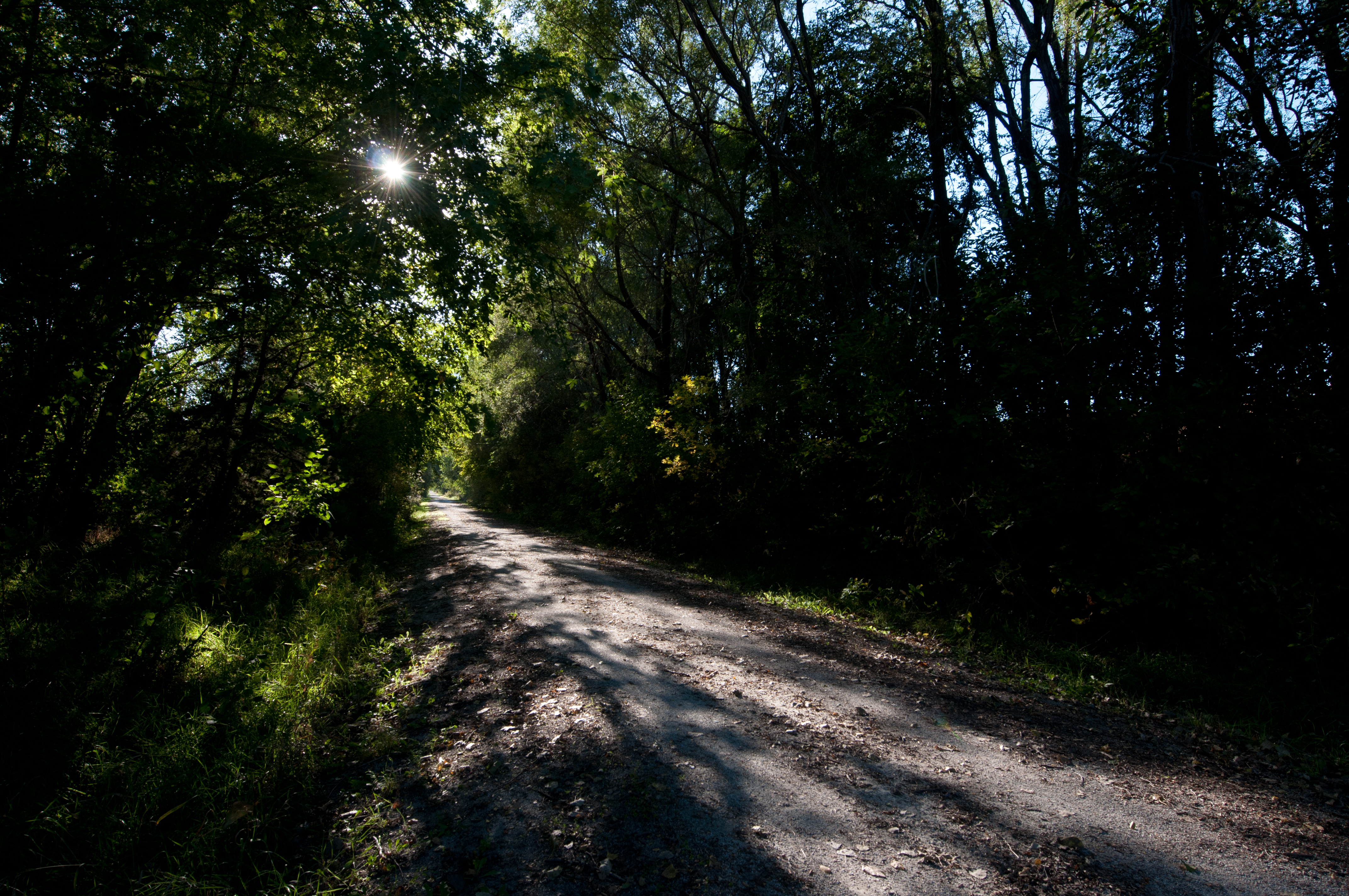
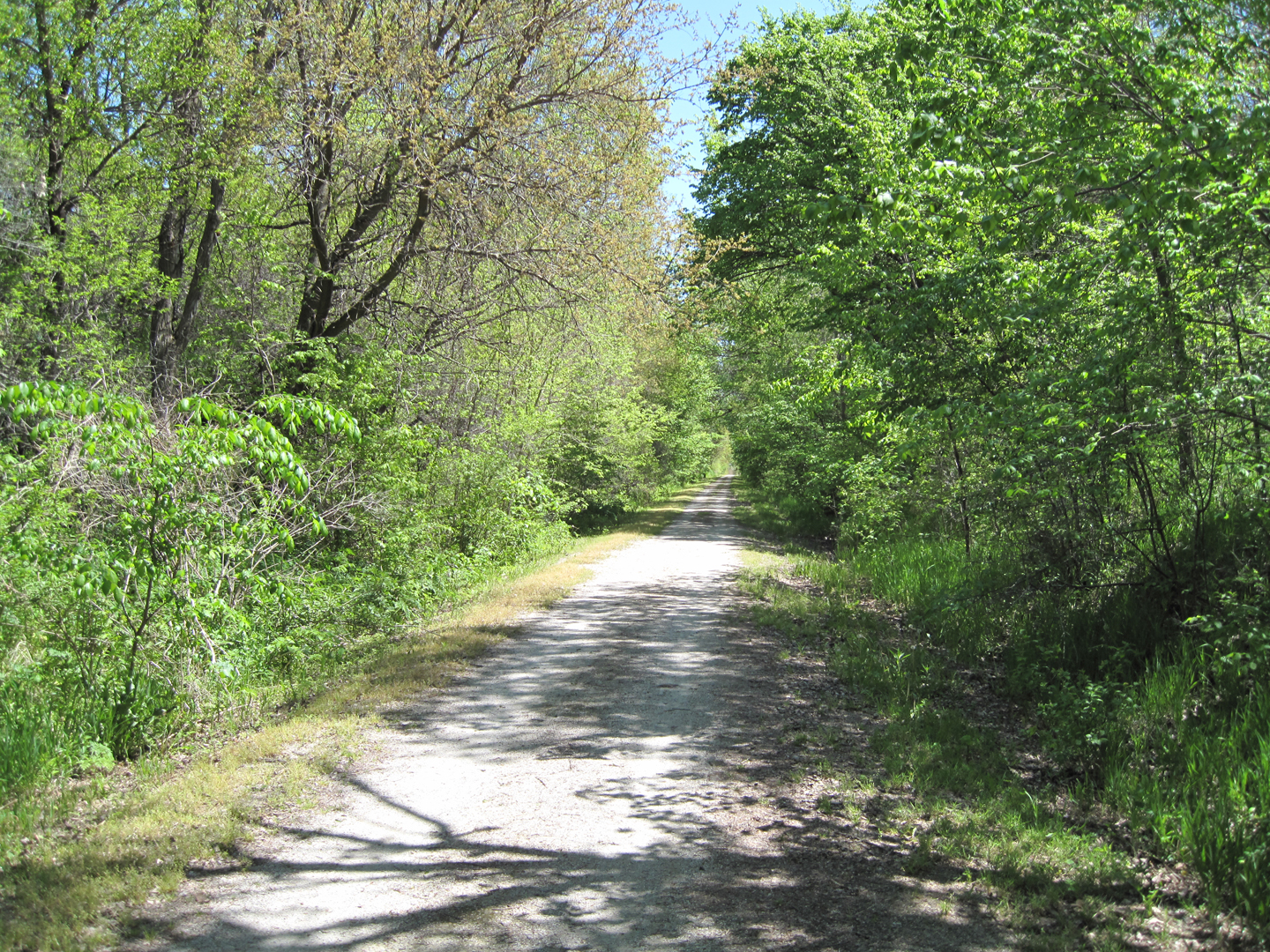
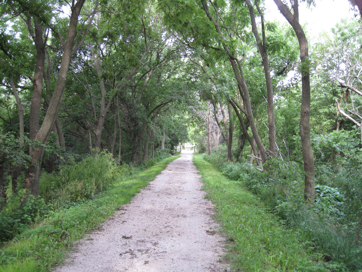
Billy Wolff Trail
View beyond

Lamp too bright

Sunday Morning, 10am
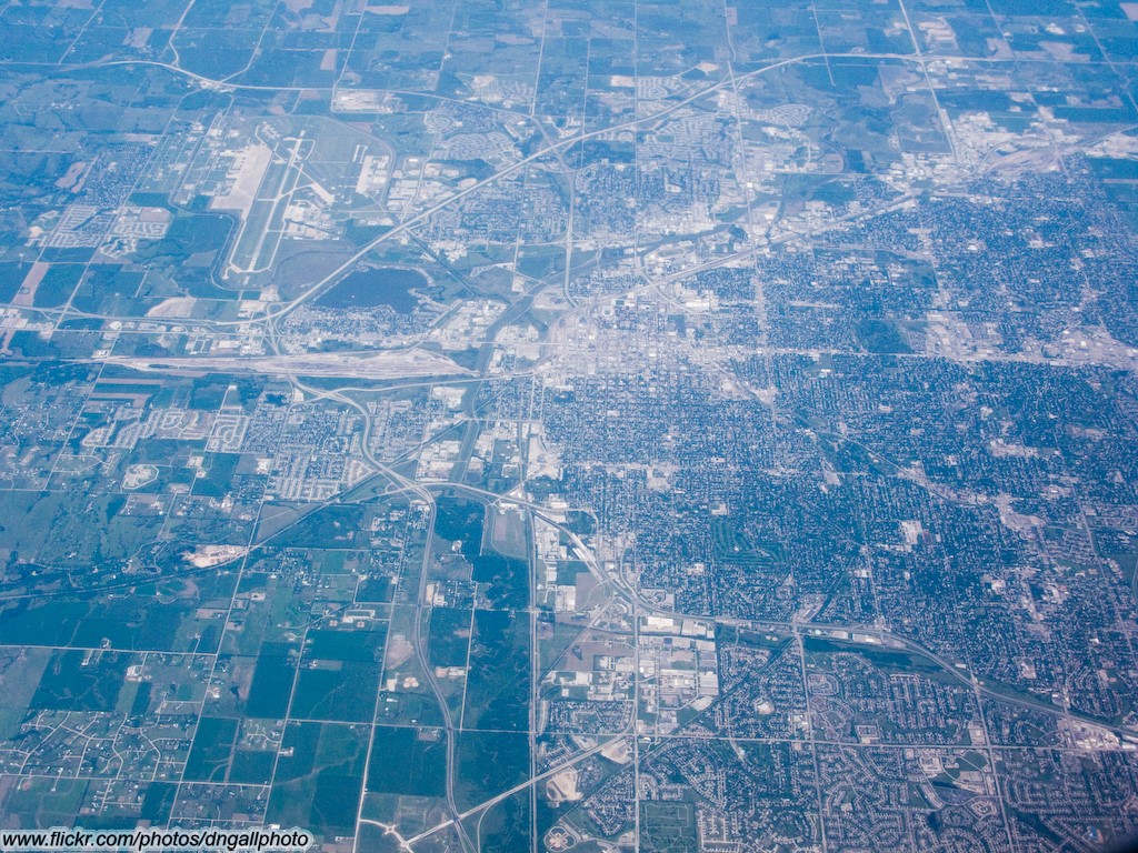
Aerial View of Lincoln, Nebraska

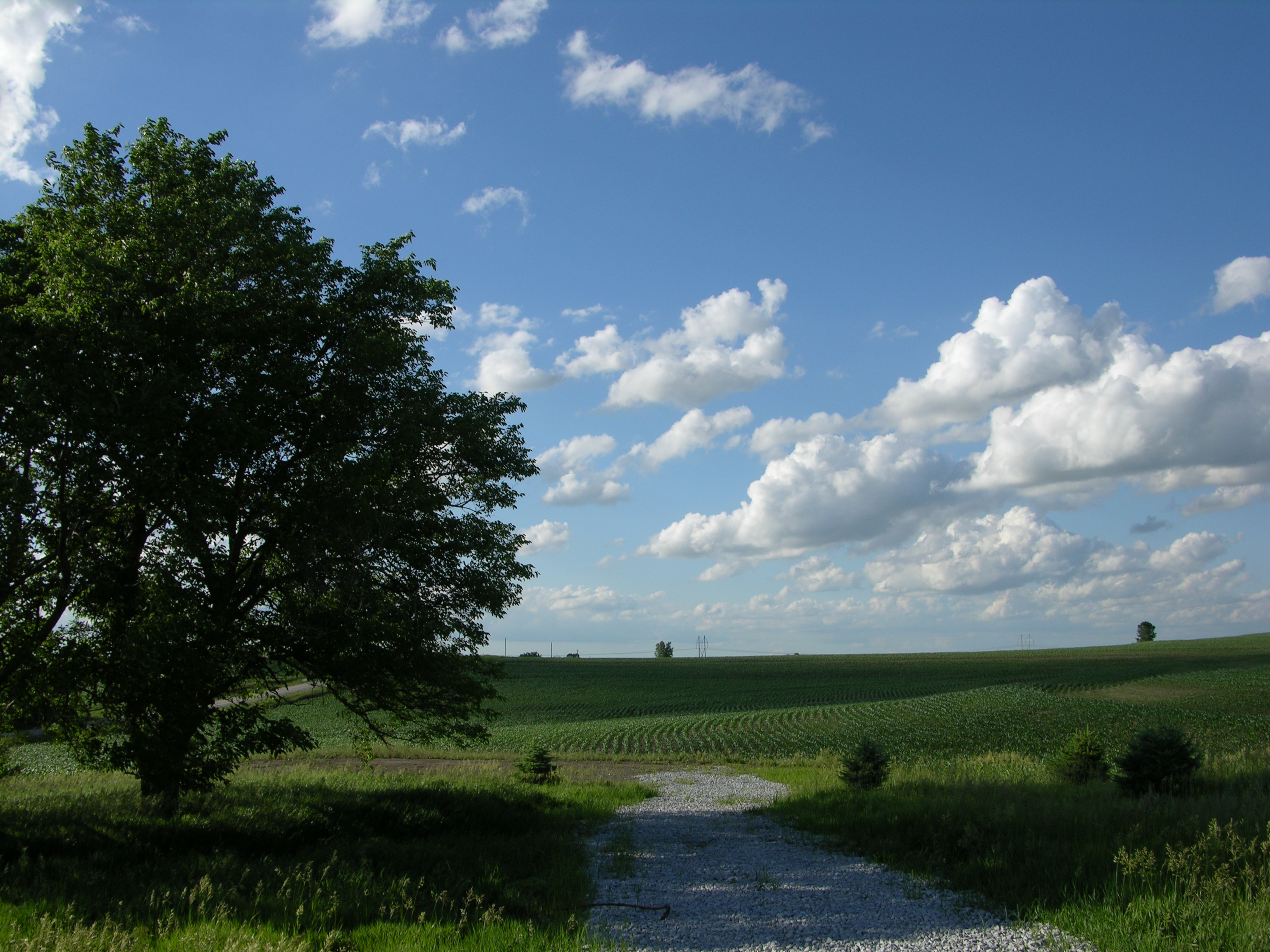
Grass Field

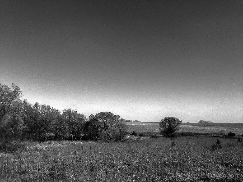
The Oak

Crooked Tree
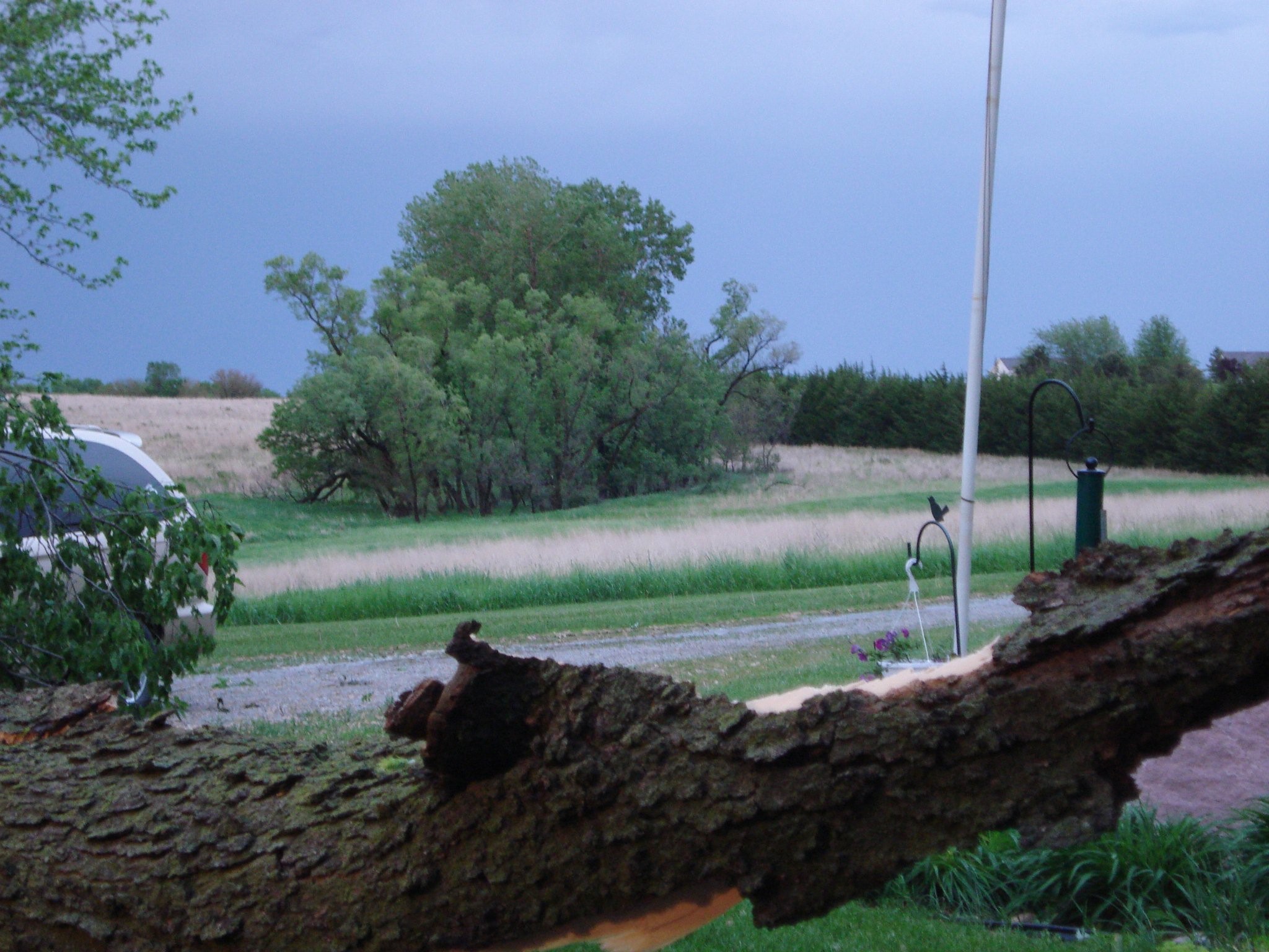
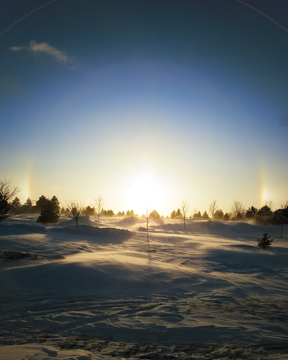
Nebraska Prairie — in Eagle, NE.

June 13, 2004 Waverly, NE Tornado

Fletcher_Prairie_Panorama1.jpg

Waiting for the Glow Worm
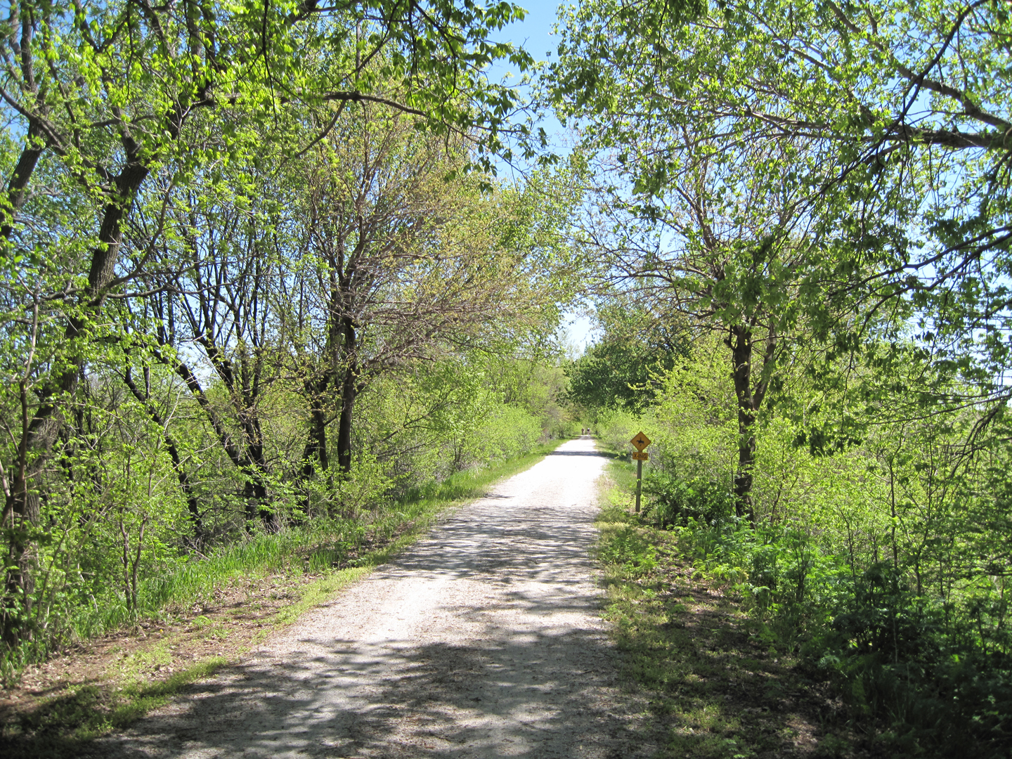
Riding on the MoPac

_MG_1435-HDR1

Barn Art

IMG_3459.jpg
White Dog Halo
Blue and Green with White
MoPac_East_to_Hwy_34_20110516_0222.jpg
MoPac_East_to_Hwy_34_20110516_0215.jpg
Murdoch_Trail_20110702_0799.jpg

Murdoch_Trail_20110702_0799.jpg

2011-08-28_14-45-33_57

2011-08-28_14-37-26_676

2011-08-28_14-58-27_994 (1)

2015 Camp Creek -129
Topographic Map of S th St, Eagle, NE, USA
Find elevation by address:

Places near S th St, Eagle, NE, USA:
Percheron Drive
Eagle
Tipton
Main St, Alvo, NE, USA
Alvo
Stevens Creek
N th St, Lincoln, NE, USA
14311 Us-6
Waverly
8423 Echo Cir
Meadowlane
7331 York Ln
Scott O'nele Dmd, Md.
7105 Francis St
619 N 68th St
Finke Gardens & Nursery
6443 Aylesworth Ave
3330 N 67th St
Bethany
435 Lyncrest Dr
Recent Searches:
- Elevation of Corso Fratelli Cairoli, 35, Macerata MC, Italy
- Elevation of Tallevast Rd, Sarasota, FL, USA
- Elevation of 4th St E, Sonoma, CA, USA
- Elevation of Black Hollow Rd, Pennsdale, PA, USA
- Elevation of Oakland Ave, Williamsport, PA, USA
- Elevation of Pedrógão Grande, Portugal
- Elevation of Klee Dr, Martinsburg, WV, USA
- Elevation of Via Roma, Pieranica CR, Italy
- Elevation of Tavkvetili Mountain, Georgia
- Elevation of Hartfords Bluff Cir, Mt Pleasant, SC, USA