Elevation of S th E Ave, Porter, OK, USA

Location: United States > Oklahoma > Wagoner County > Porter >

Longitude: -95.544974

Latitude: 35.938723

Elevation: -10000m / -32808feet

Barometric Pressure: 295KPa

Elevation Map:

elevation map of S th E Ave, Porter, OK, USA

Satellite Map:

Satellite map of S th E Ave, Porter, OK, USA

Related Photos:

oklahoma sunrise nikon porter d40 abigfave acreestudios
Sunrise HDR
oklahoma ok muskogee tullahassee wagonercounty wagoner county chouteaudam chouteaulockanddam chouteaulockanddam17 chouteau lock dam 17 verdigrisriver verdigris mcclellankerrarkansasrivernavigationsystem mcclellankerr arkansas river navigation system mcclellan kerr mkarns usarmycorpsofengineers usace us army corps engineers longexposure long exposure night moonlight moonlit
Verdigris River by moonlight
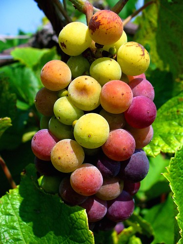
macro leaves closeup vineyard vines grapes tulsa redgrapes greengrapes cynthiana stonebluffwinery purplegrapes northeastoklahoma grapesmacro stonebluffcellars haskelloklahoma leonardoklahoma winemakinggrapes maturinggrapeswinemaking grapesvineyardmaturing maturinggrapes cynthianagrape nortongrape grapescloseup orangegrapes plumpgrapes
Stone Bluff Cellars
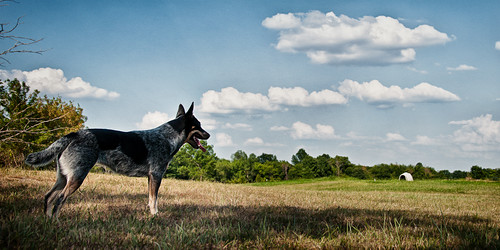
sky dog clouds cattledog sheila heeler acreestudios
Admiring the View
cat photoshop nikon bandit d40 thelittledoglaughed acreestudios
Basking in the Sun v2
cat photoshop nikon bandit d40 abigfave acreestudios
Basking in the Sun v1
sunset summer usa lake oklahoma water landscape roadtrip ok porter hdr ¡ 2012 3xp canonef28135mmf3556isusm photomatix tonemapped tthdr us69 realistichdr detailsenhancer 74454 canoneos7d ©ianaberle vanslake
Sunset over Vans Lake
oklahoma ok muskogee tullahassee wagonercounty wagoner county chouteaudam chouteaulockanddam chouteaulockanddam17 chouteau lock dam 17 bridge verdigrisriver verdigris mcclellankerrarkansasrivernavigationsystem mcclellankerr arkansas river navigation system mcclellan kerr mkarns spillway taintergate tainter gate usarmycorpsofengineers usace us army corps engineers tulsa district goldenhour golden hour water
As long as the waters flow
Amber waves of Grain
oklahoma ok landscapes wagonercounty porter tulsametropolitanarea greatplains northamerica unitedstates us
Porter, Oklahoma
cemetery square squareformat iphone iphoneography instagramapp uploaded:by=instagram
Haskell cemetery
Barn 2
storm oklahoma clouds landscape nikon gloomy shed tulsa bandit d40 supershot acreestudios
Off To See The Wizard
vineyard grapes tulsa cynthiana stonebluffwinery northeastoklahoma stonebluffcellars haskelloklahoma leonardoklahoma winemakinggrapes maturinggrapeswinemaking grapesvineyardmaturing maturinggrapes cynthianagrape nortongrape
Stone Bluff Cellars
carrerasummercampphone
Carrera Summer Camp Phone 002
oklahoma cemetery iphone haskell iphoneography
Taken in the Haskell, Oklahoma Cemetery
carrerasummercampphone
Carrera Summer Camp Phone 019
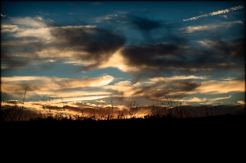
oklahoma sunrise landscape nikon porter d40 acreestudios
Morning Before Christmas
sunset oklahoma landscape nikon porter d40 acreestudios
Fire In The Sky
county oklahoma public river point lock dam district verdigris system corps use area tulsa navigation engineers bluegill usace lockanddam wagoner usarmycorpsofengineers corpsofengineers esclusa mcclellankerrarkansasrivernavigationsystem verdigrisriver wagonercounty bluegillpoint mkarns tulsadistrict newtgraham bluegillpointpublicusearea publicusearea
big splashin'