Elevation of Sørfold, Norway
Location: Norway > Nordland >
Longitude: 15.8494043
Latitude: 67.5121822
Elevation: 426m / 1398feet
Barometric Pressure: 96KPa
Elevation Map:
Satellite Map:
Related Photos:
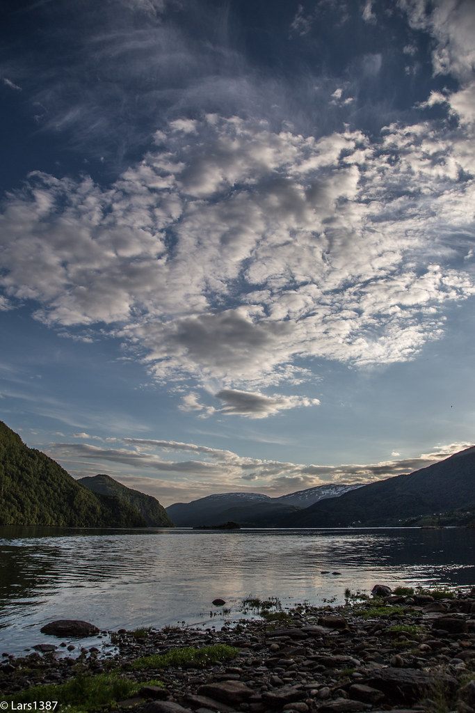
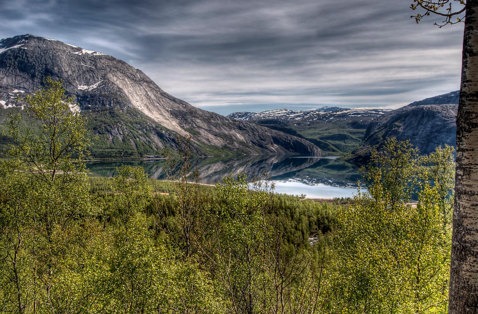
Sørfjorden

noorwegen 027

05.05_Z000560_2013.06.01_14.22.22_B00692_3S
05.06_Z000330_2013.06.01_15.14.34_B00703_3R
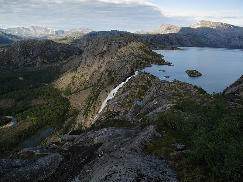
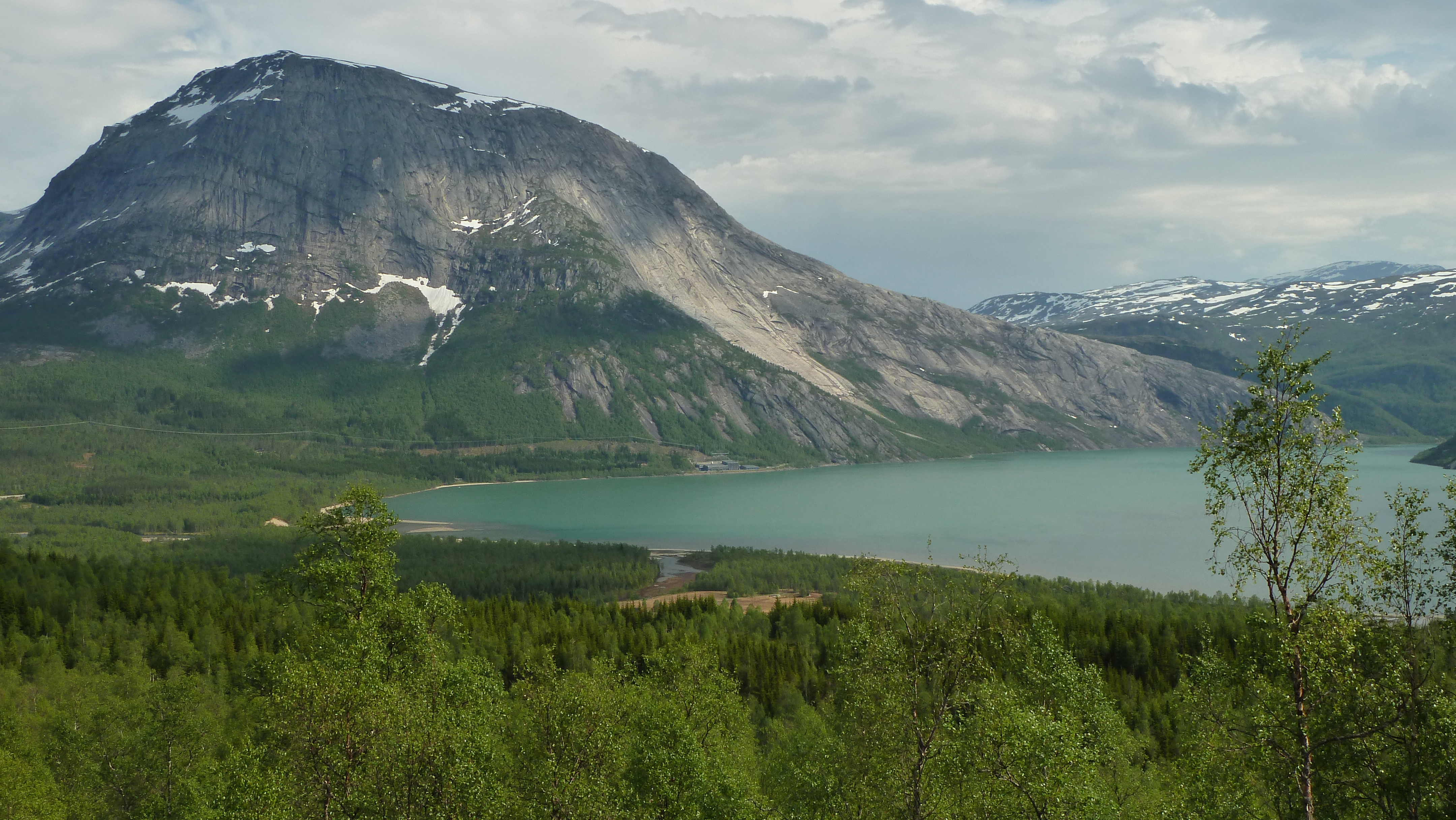
Rago National Park, Norway
05.06_Z000100_2013.06.01_15.09.56_B00697_3R

05.06_Z000160_2013.06.01_15.13.30_B00701_3R
20100611-1319-04_5_5aEnhancer2

05.05_Z000070_2013.06.01_13.44.48_B00664_3S
05.06_Z000150_2013.06.01_15.16.26_B00705_3R

05.05_Z000110_2013.06.01_13.46.20_B00669_3S
05.05_Z000520_2013.06.01_13.53.32_B00676_3S

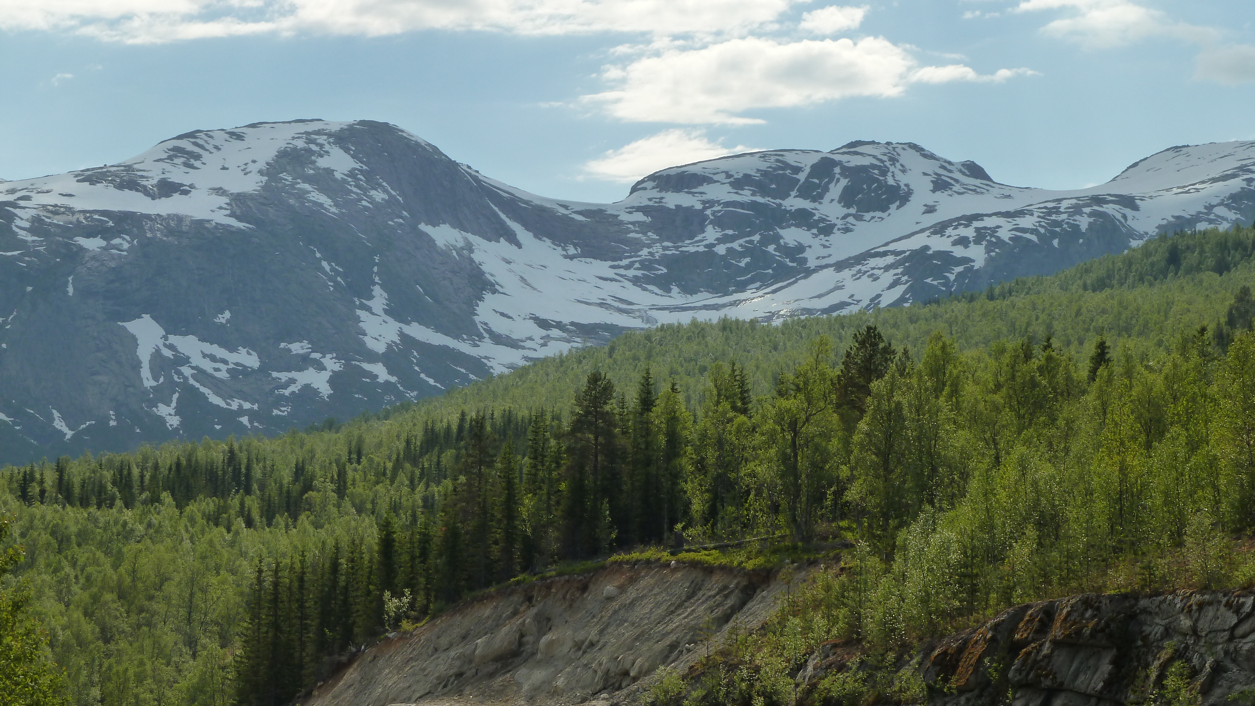
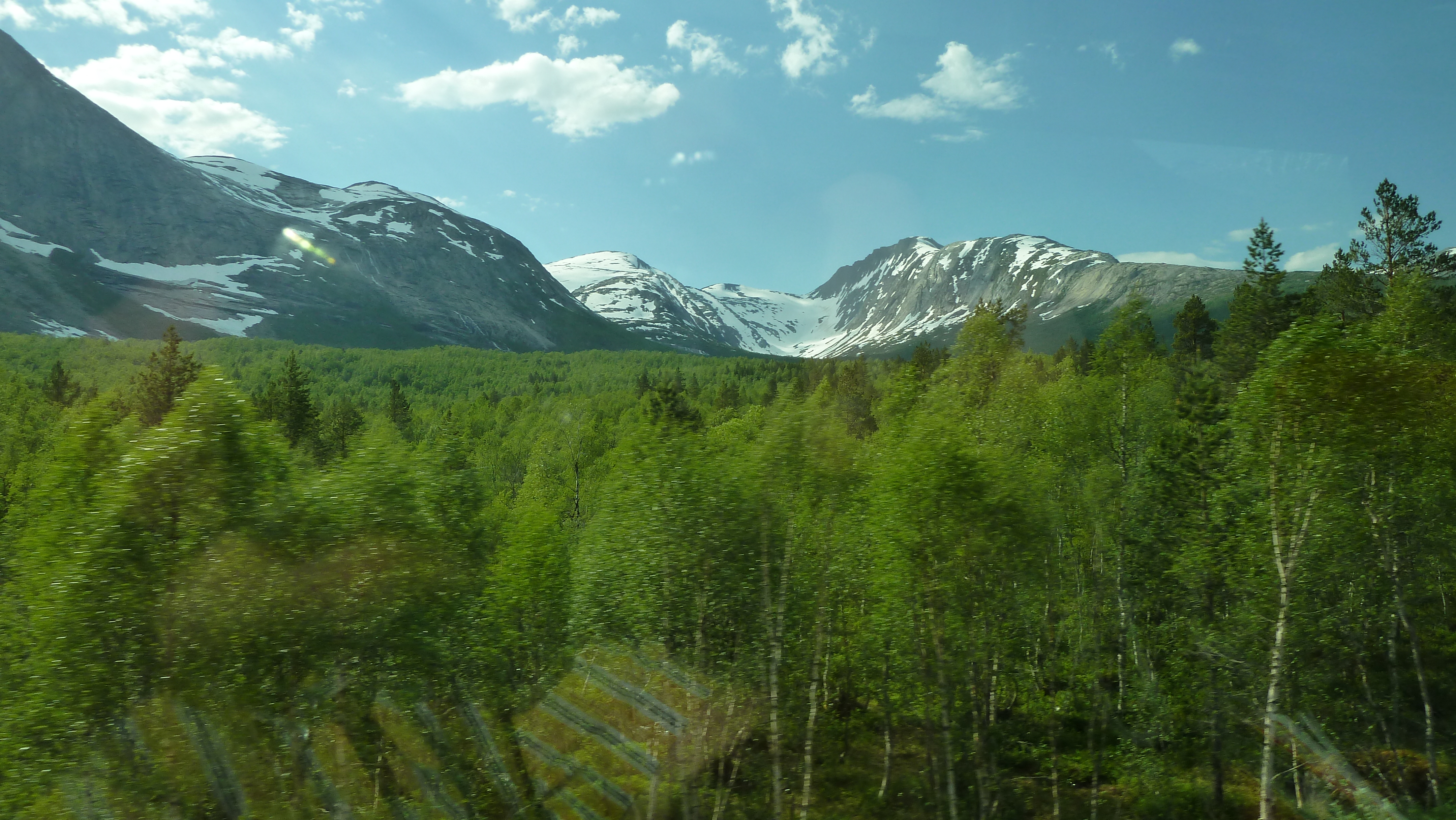
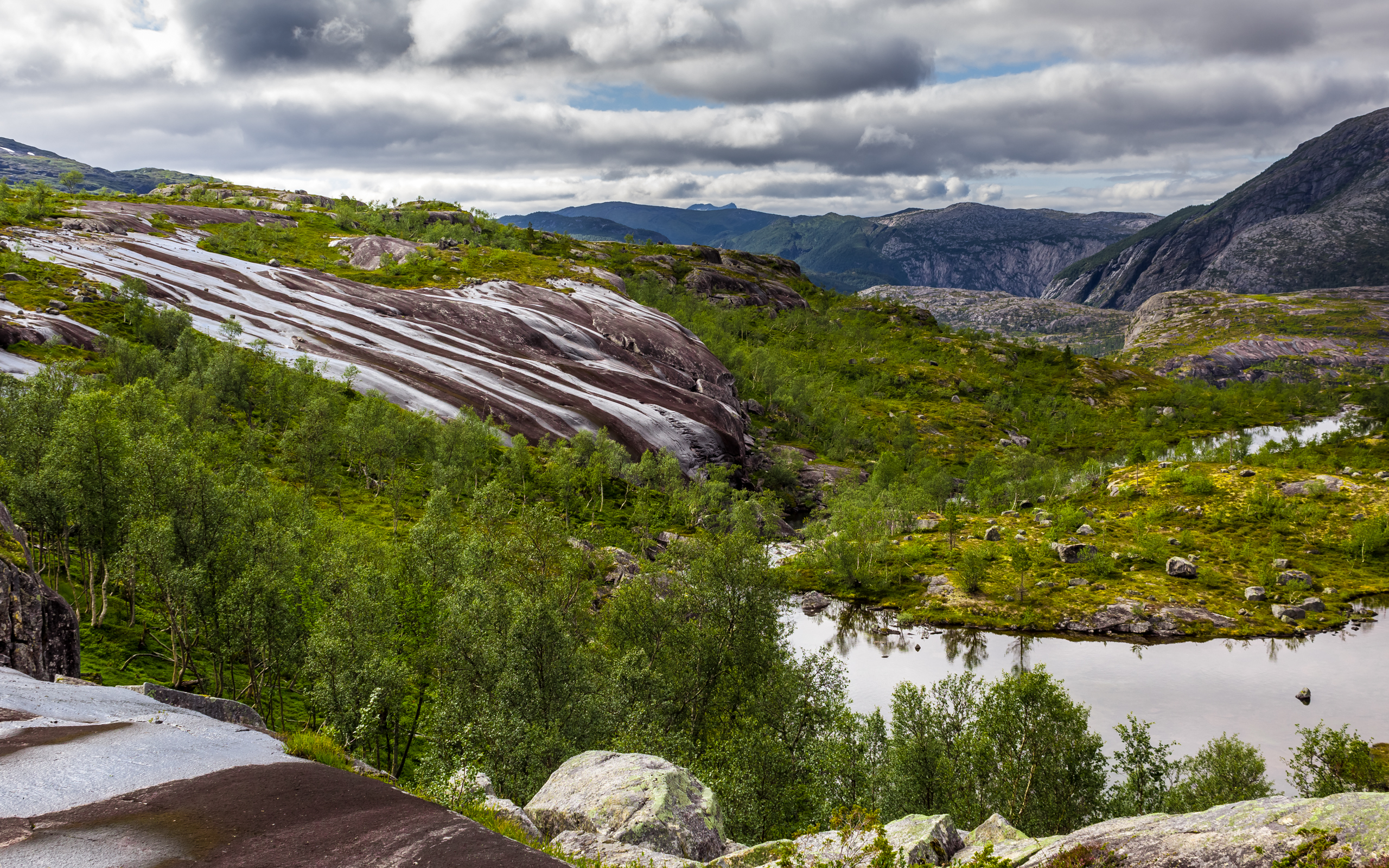
NP Rago

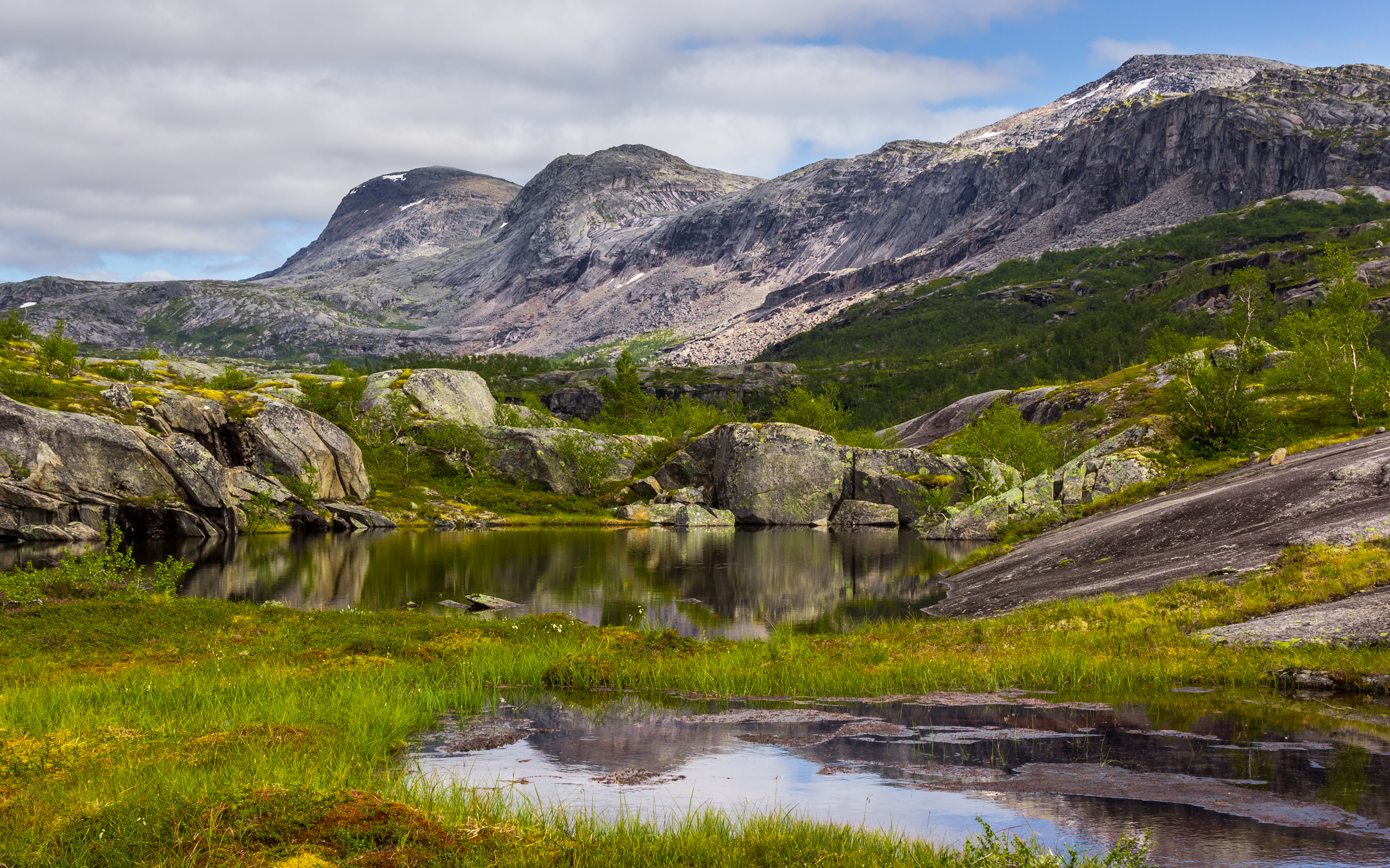
NP Rago

NP Rago
NP Rago

2014-08-01-153237_DSC02308_NEX-7_16mmAnd2more_fused.jpg
NP Rago
NP Rago

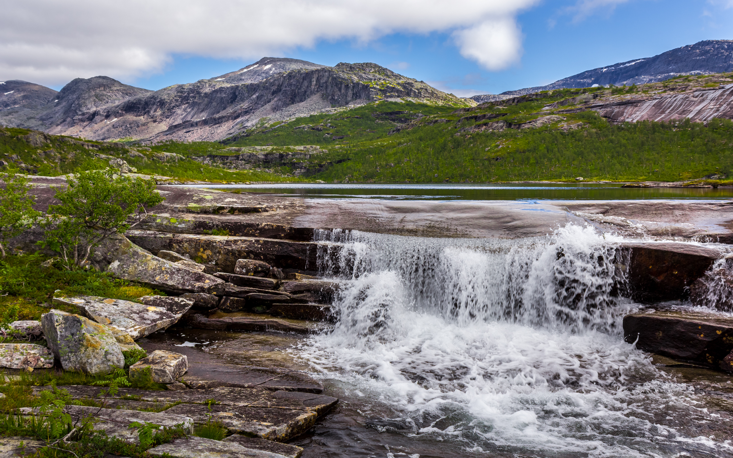
NP Rago, jezero Bassejávrre
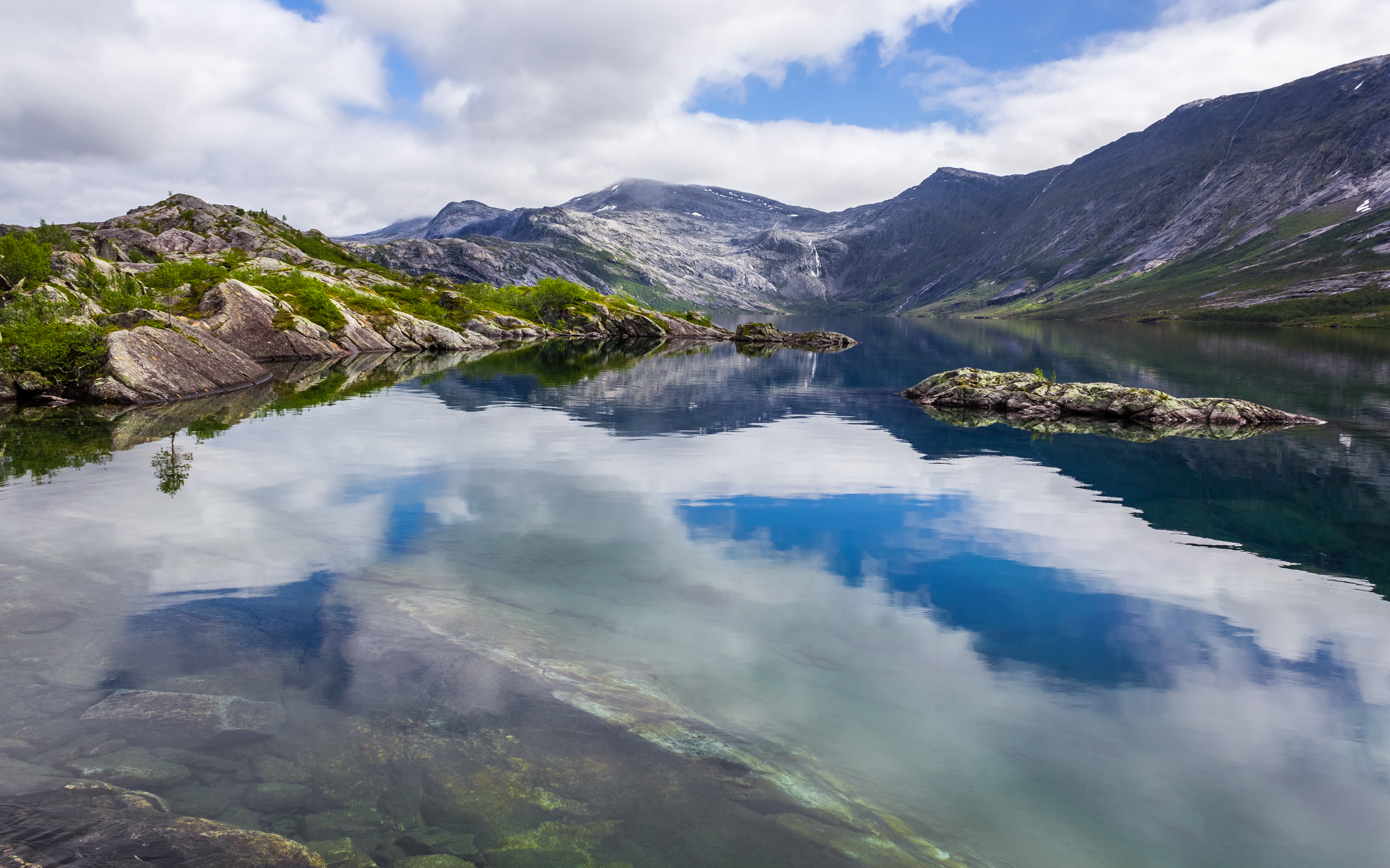
NP Rago, jezero Bassejávrre
Topographic Map of Sørfold, Norway
Find elevation by address:

Places in Sørfold, Norway:
Places near Sørfold, Norway:
Nattmålsfjellet
Lødingen
Fv, Vestbygd, Norway
Tjeldsund
Hjertvatn Power Plant
Fv, Fjelldal, Norway
Nattmålsfjellet
Audun Raudes gate 55, Harstad, Norway
Torfinns Gate
Harstad
Harstad
Recent Searches:
- Elevation of Corso Fratelli Cairoli, 35, Macerata MC, Italy
- Elevation of Tallevast Rd, Sarasota, FL, USA
- Elevation of 4th St E, Sonoma, CA, USA
- Elevation of Black Hollow Rd, Pennsdale, PA, USA
- Elevation of Oakland Ave, Williamsport, PA, USA
- Elevation of Pedrógão Grande, Portugal
- Elevation of Klee Dr, Martinsburg, WV, USA
- Elevation of Via Roma, Pieranica CR, Italy
- Elevation of Tavkvetili Mountain, Georgia
- Elevation of Hartfords Bluff Cir, Mt Pleasant, SC, USA