Elevation of S Rd, Oologah, OK, USA
Location: United States > Oklahoma > Rogers County > Oologah >
Longitude: -95.778701
Latitude: 36.419887
Elevation: 185m / 607feet
Barometric Pressure: 99KPa
Elevation Map:
Satellite Map:
Related Photos:

Three Headstones

3/13/08 Storm

Cooper Ranch, Evening

Rope, Iron and Wood

Yellow On Red

Barbed Wire

Self-portrait in the outside of a rear-view mirror

View from Kight Hill

Four Bolts

Corner of Washington School and Cloud, Collinsville, Oklahoma

Down to Basics

Will Rogers-3

Room with a view

Shadows of the Past

Meador at Oologah Lake

Tree Pool

Oklahoma-10

Hawthorn Bluff Campground

Early Morning

Skull Hollow at Lake Oologah
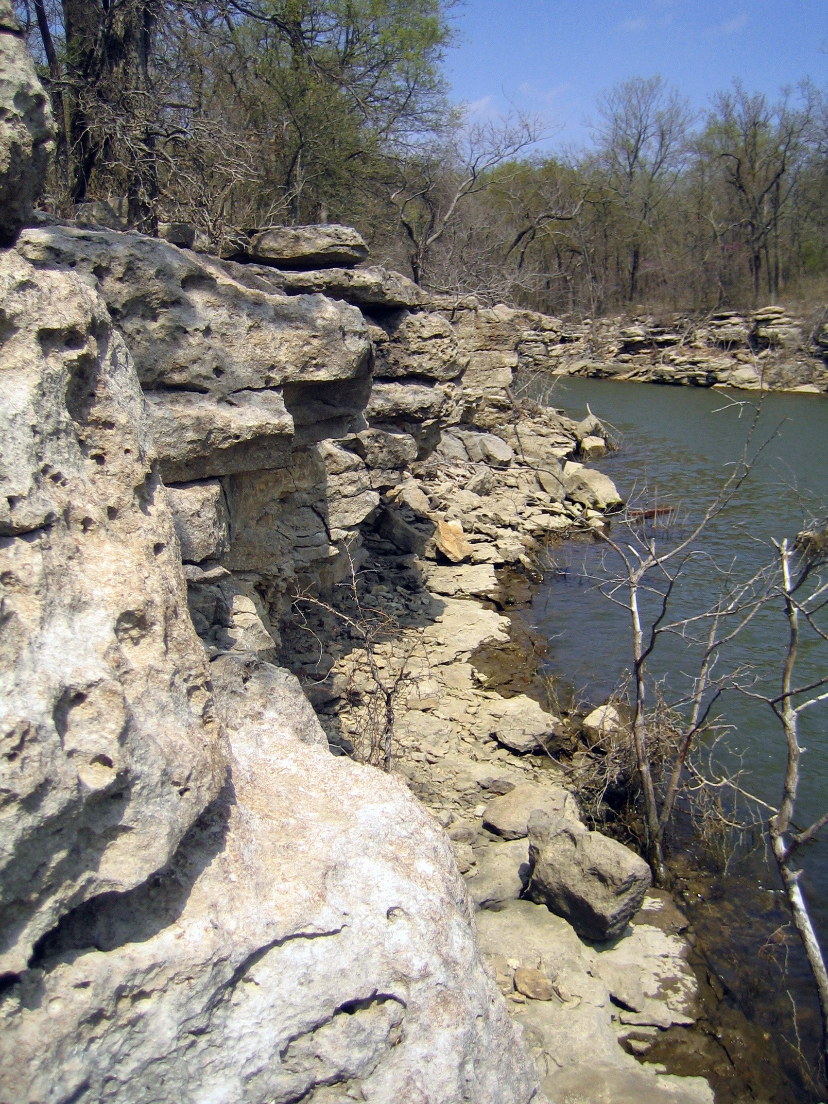
Skull Hollow Bluffs

#Grass on the #run. #vsco #vscocam

Oklahoma-11

Drone Shots from North East Oklahoma Excursion

Reflection #HDR #Owasso #Oklahoma #sky #skyporn #clouds #cloudporn #water #reflection #pond #lake #jj #jj_forums #instagood #instacanvas #photooftheday

Lake Oolagah, OK

Dawn Above Washington County

Drone Shots from North East Oklahoma Excursion

Drone Shots from North East Oklahoma Excursion

Drone Shots from North East Oklahoma Excursion

DSC04148(1)
Topographic Map of S Rd, Oologah, OK, USA
Find elevation by address:

Places near S Rd, Oologah, OK, USA:
Collinsville Round Up Club Rodeo
Oologah
7801 S 4060 Rd
Vera
W Robert E Smith Blvd, Collinsville, OK, USA
17569 E 107th Pl N
Cowgirl Thang
Hi-view Mini Mart
S Pine St, Oologah, OK, USA
Talala
Rogers County
11330 N 94th E Ave
9372 E Clover Creek Dr
9281 E Clover Creek Dr
9582 S Stone Creek Dr
9554 E Clover Creek Dr
9666 E Clover Creek Dr
Black Gold Spooling & Banding
9722 E Clover Creek Dr
9925 Shadow Lake Dr
Recent Searches:
- Elevation of Corso Fratelli Cairoli, 35, Macerata MC, Italy
- Elevation of Tallevast Rd, Sarasota, FL, USA
- Elevation of 4th St E, Sonoma, CA, USA
- Elevation of Black Hollow Rd, Pennsdale, PA, USA
- Elevation of Oakland Ave, Williamsport, PA, USA
- Elevation of Pedrógão Grande, Portugal
- Elevation of Klee Dr, Martinsburg, WV, USA
- Elevation of Via Roma, Pieranica CR, Italy
- Elevation of Tavkvetili Mountain, Georgia
- Elevation of Hartfords Bluff Cir, Mt Pleasant, SC, USA