Elevation of S Preble County Line Rd, Middletown, OH, USA
Location: United States > Ohio > Preble County > Gratis Township >
Longitude: -84.479908
Latitude: 39.586377
Elevation: 297m / 974feet
Barometric Pressure: 98KPa
Elevation Map:
Satellite Map:
Related Photos:
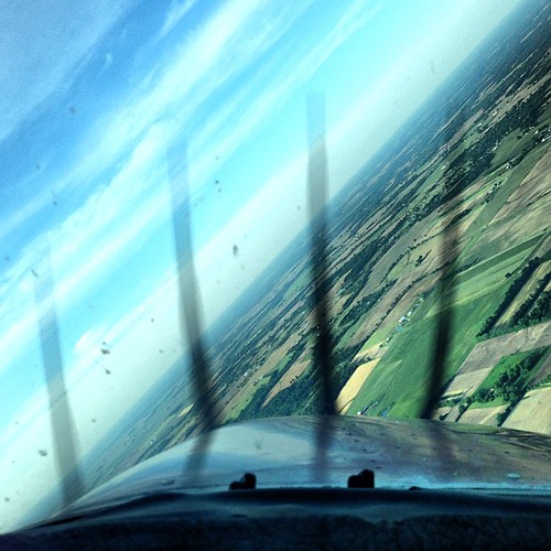
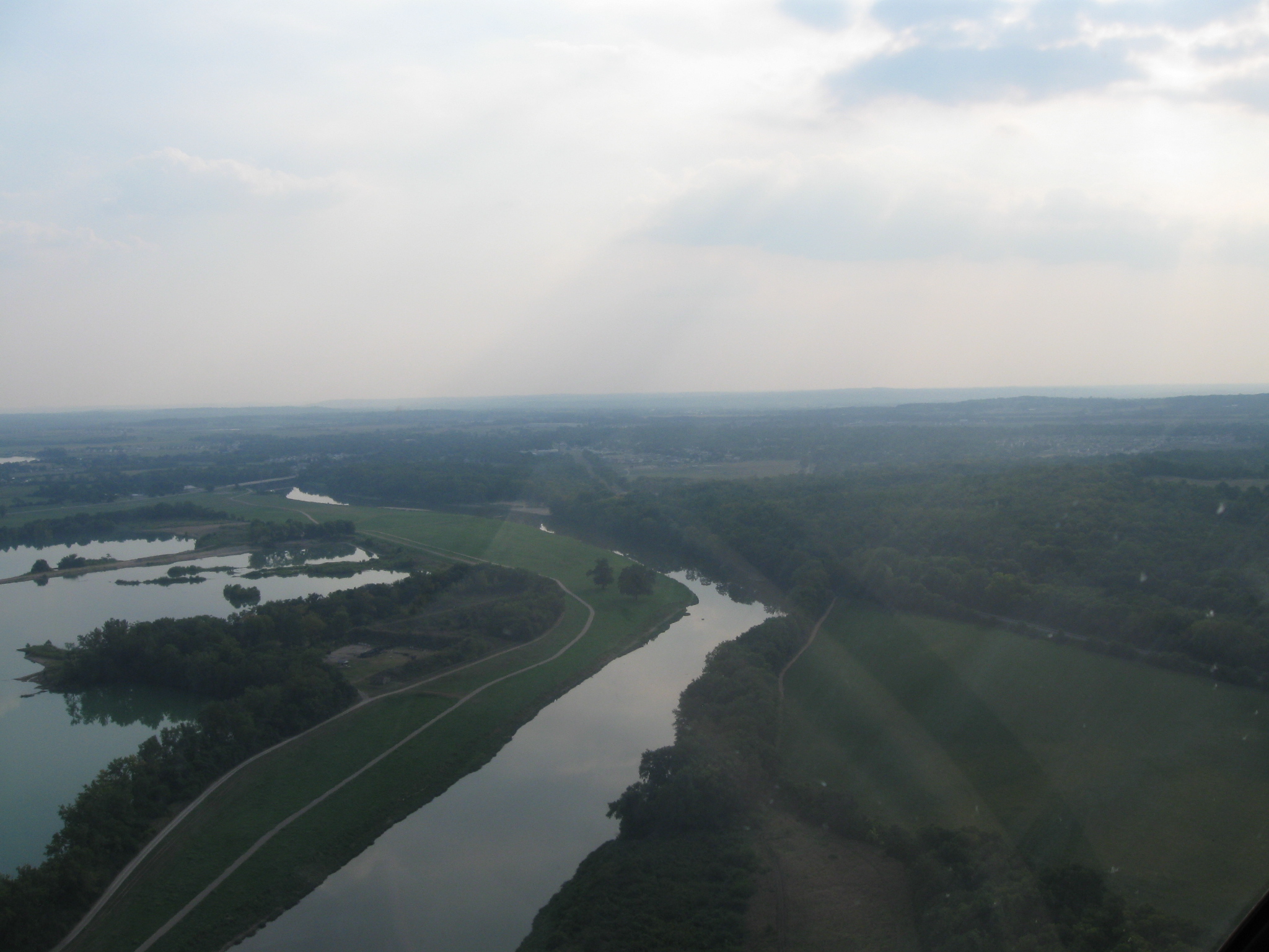
View from the #cockpit yesterday #45degreeturn #flying #pilot #avgeek #c172

Balloon Glow
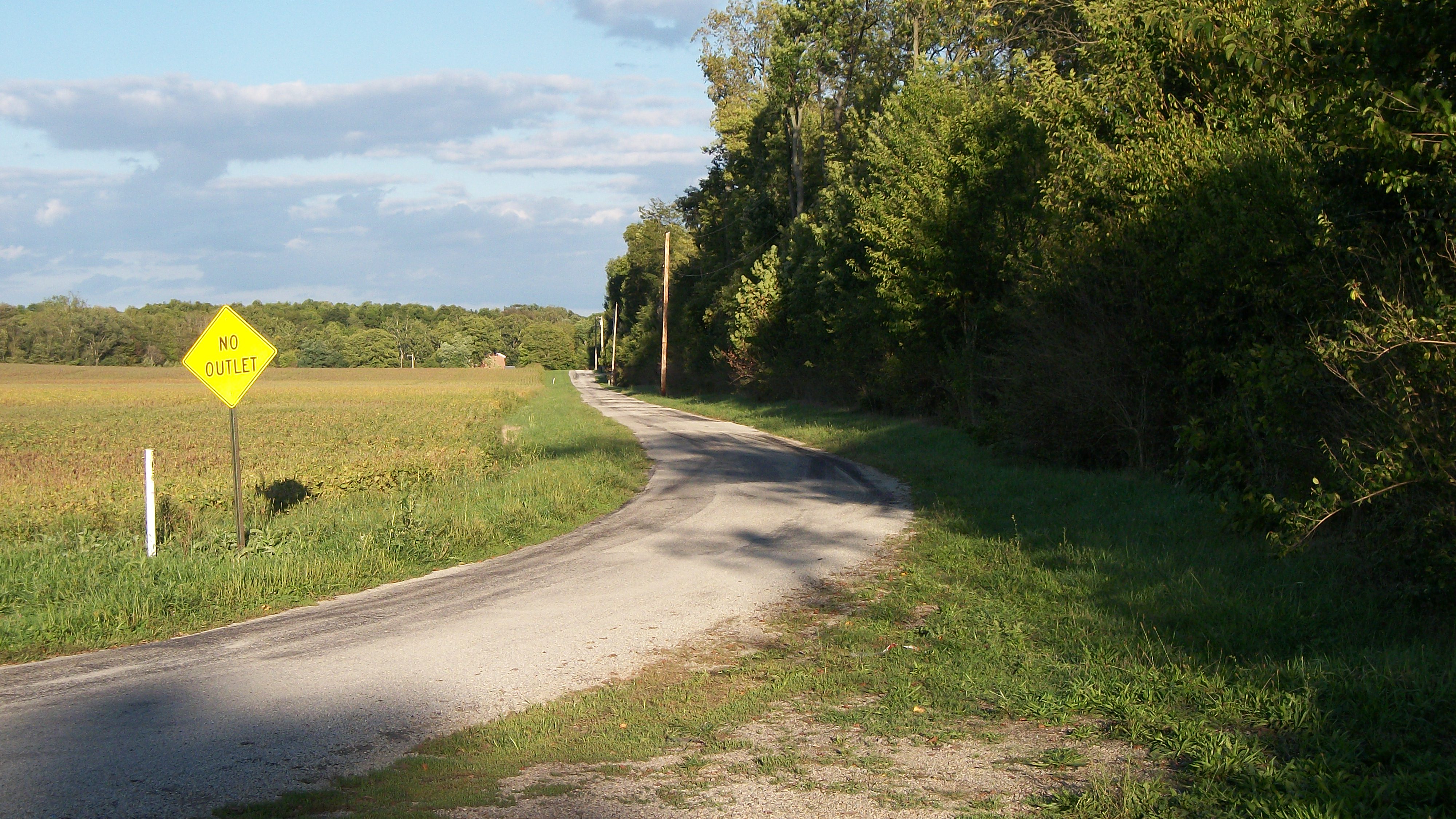
Country Road near Brubaker Bridge
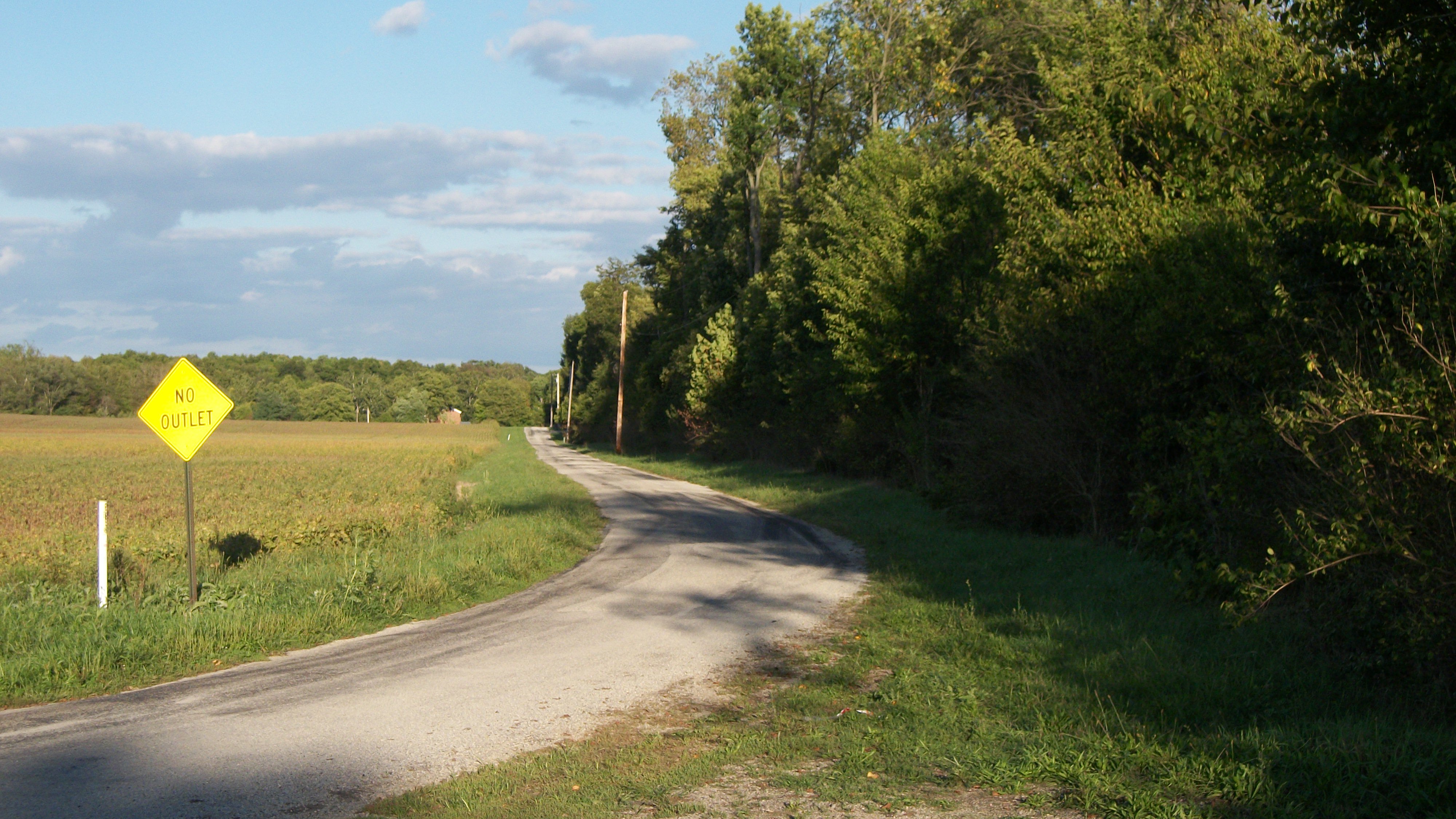
Brubaker Road
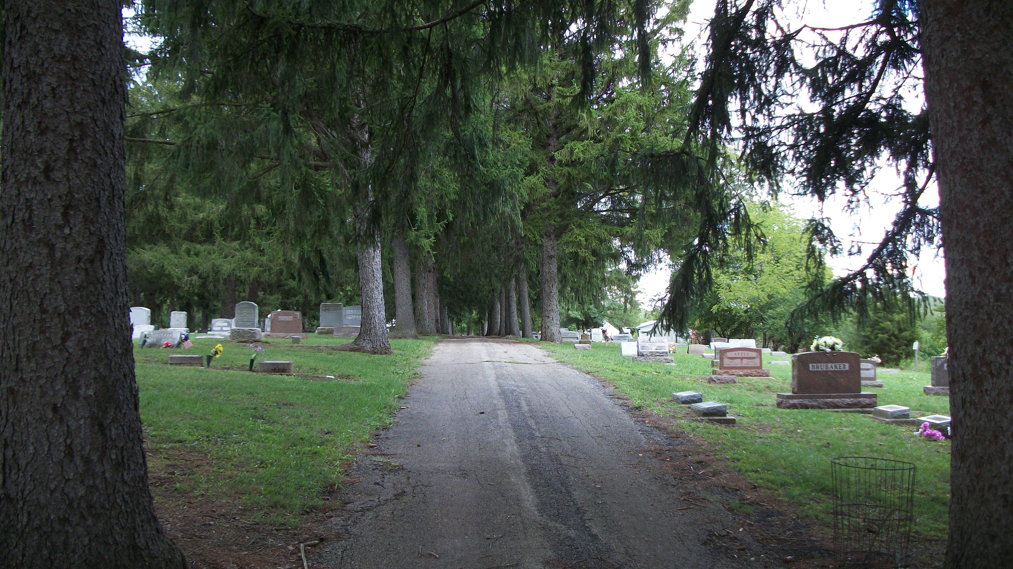
Twin Valley Cemetery

FLAG-TAILED SPINYLEG DRAGONFLY - TENERAL

View from Babblefish Studios
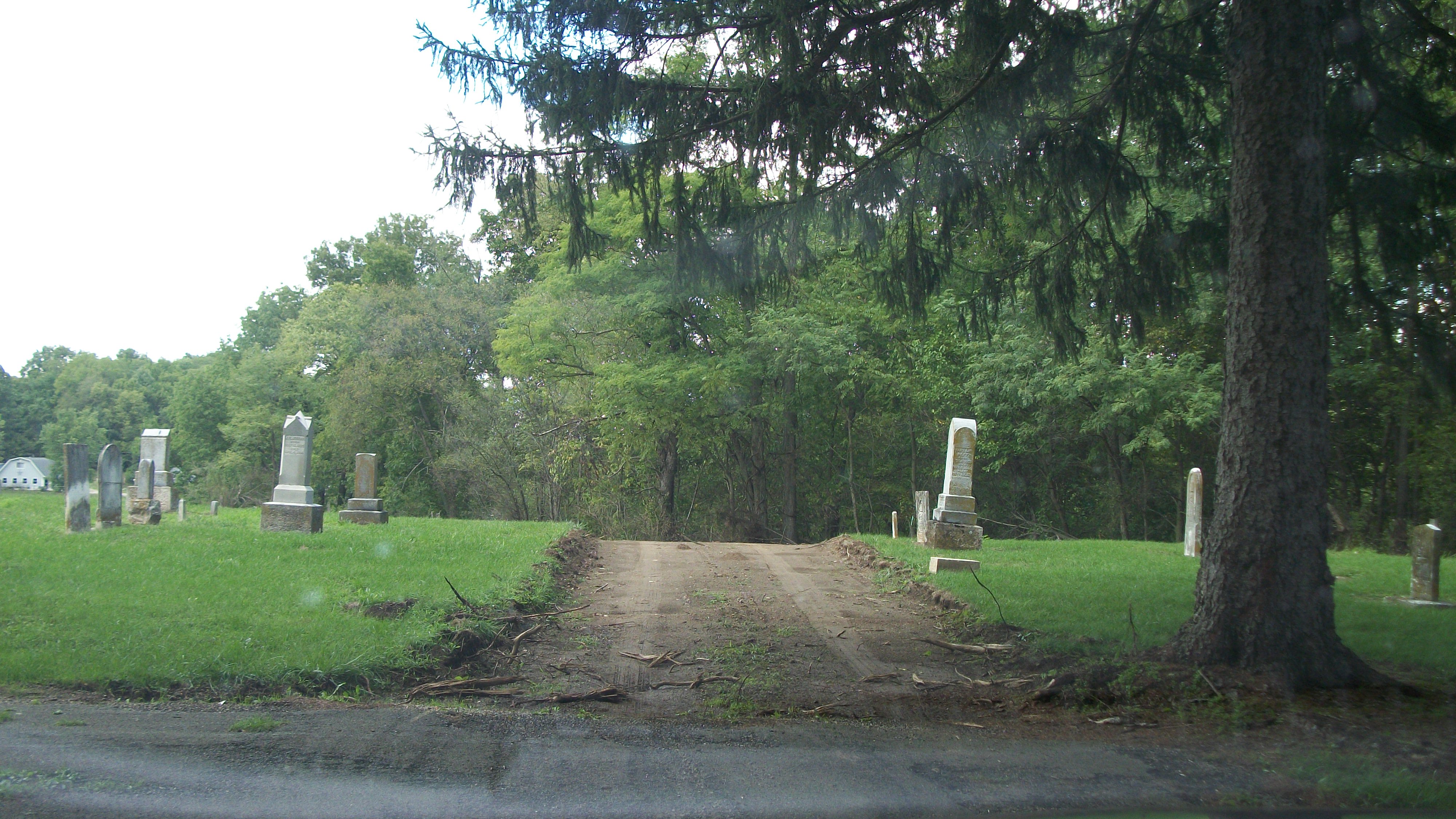
Twin Valley Cemetery
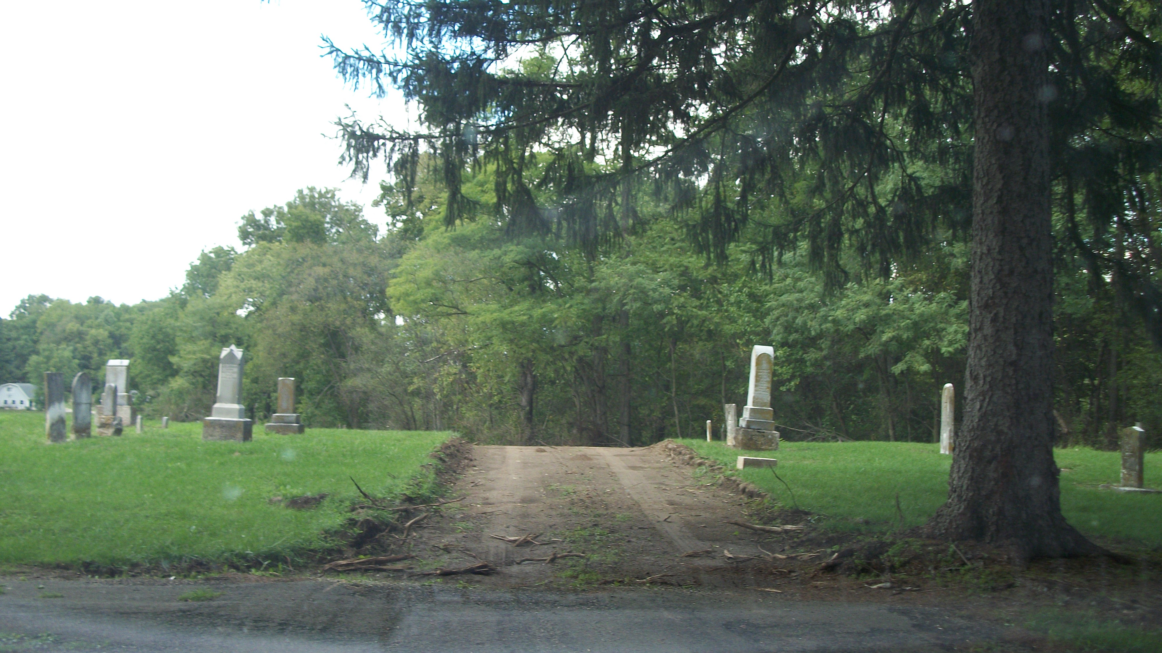
Twin Valley Cemetery
Flight School Visit

Sunset Supply / Valley View Walls LLC
Park in Gratis, Ohio
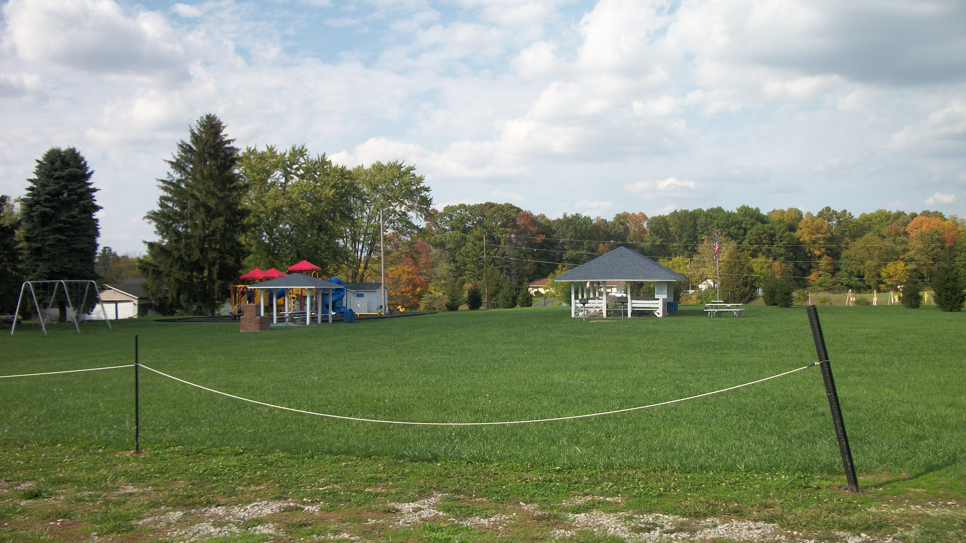
Park in Gratis, Ohio
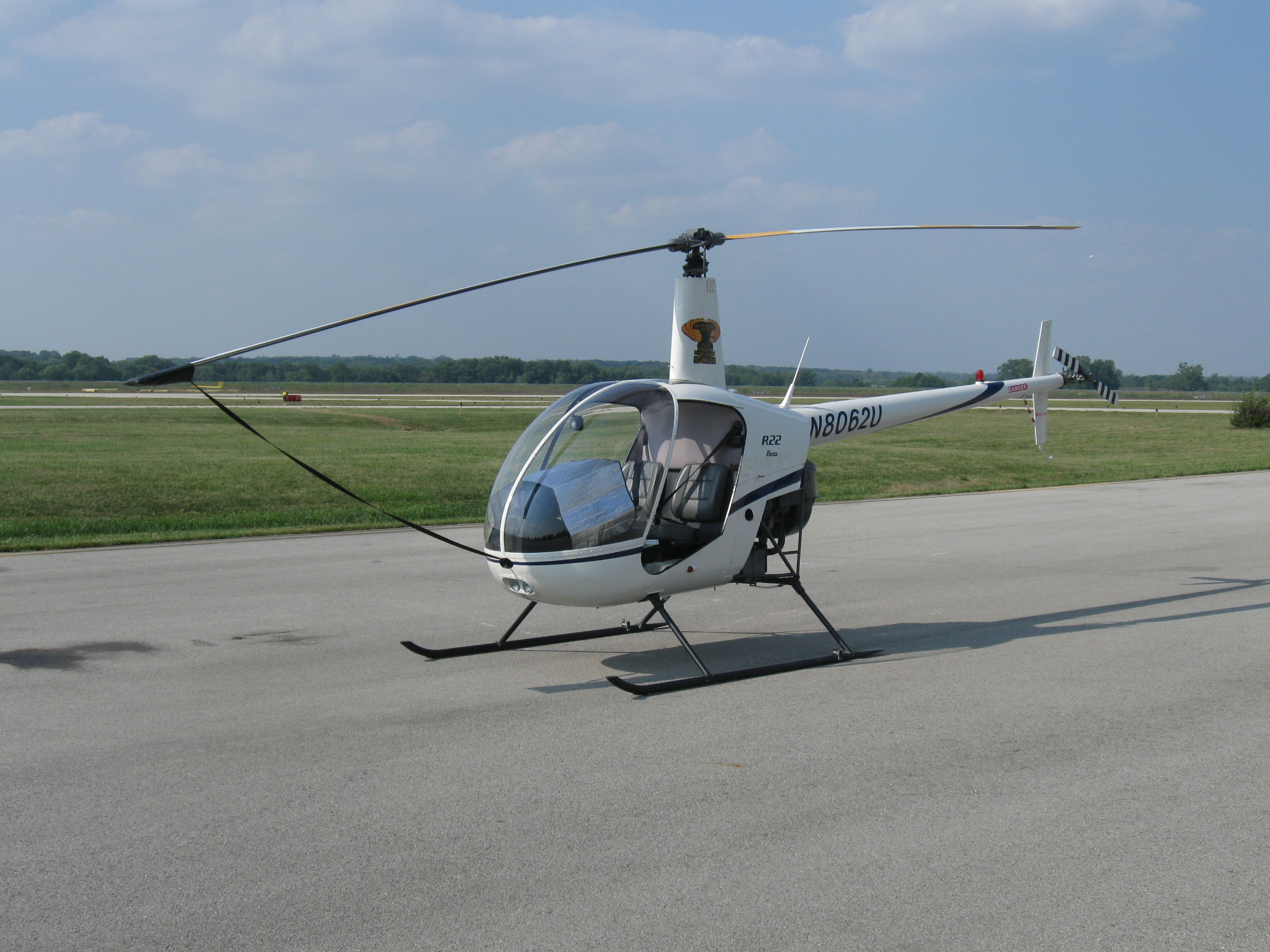
Flight School Visit
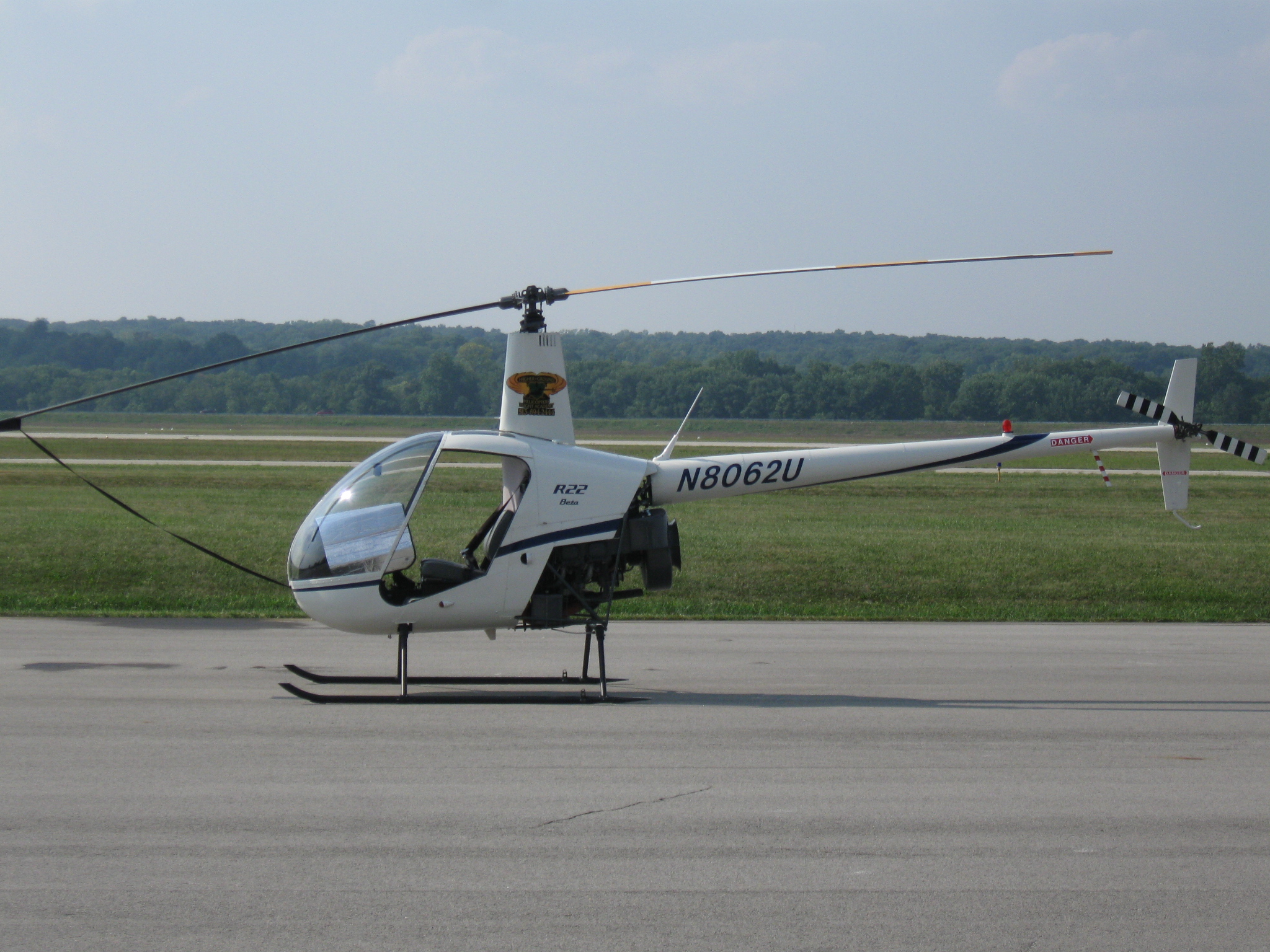
Flight School Visit
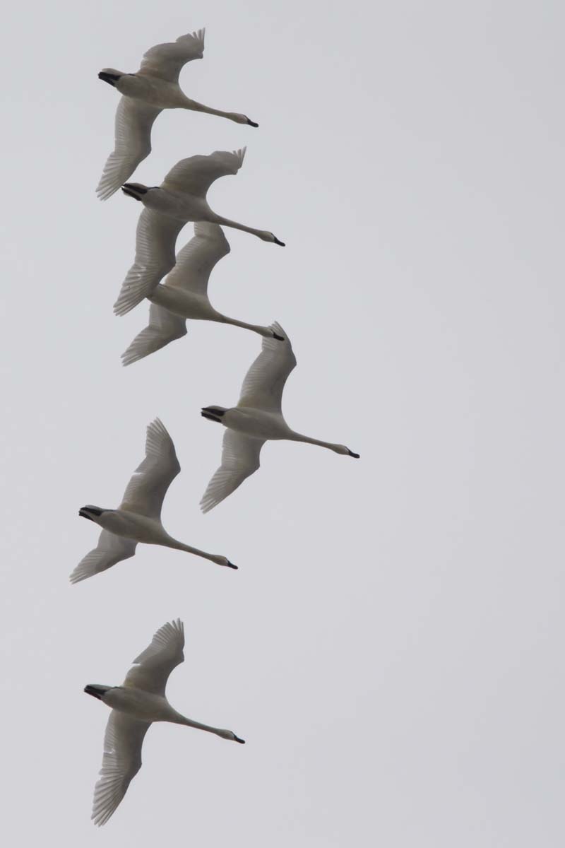
SWANS - TUNDRA or TRUMPETER?
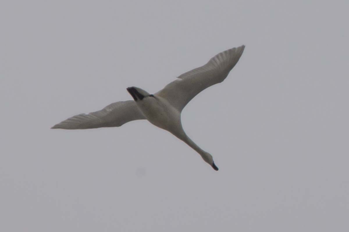
SWAN - TUNDRA or TRUMPETER?
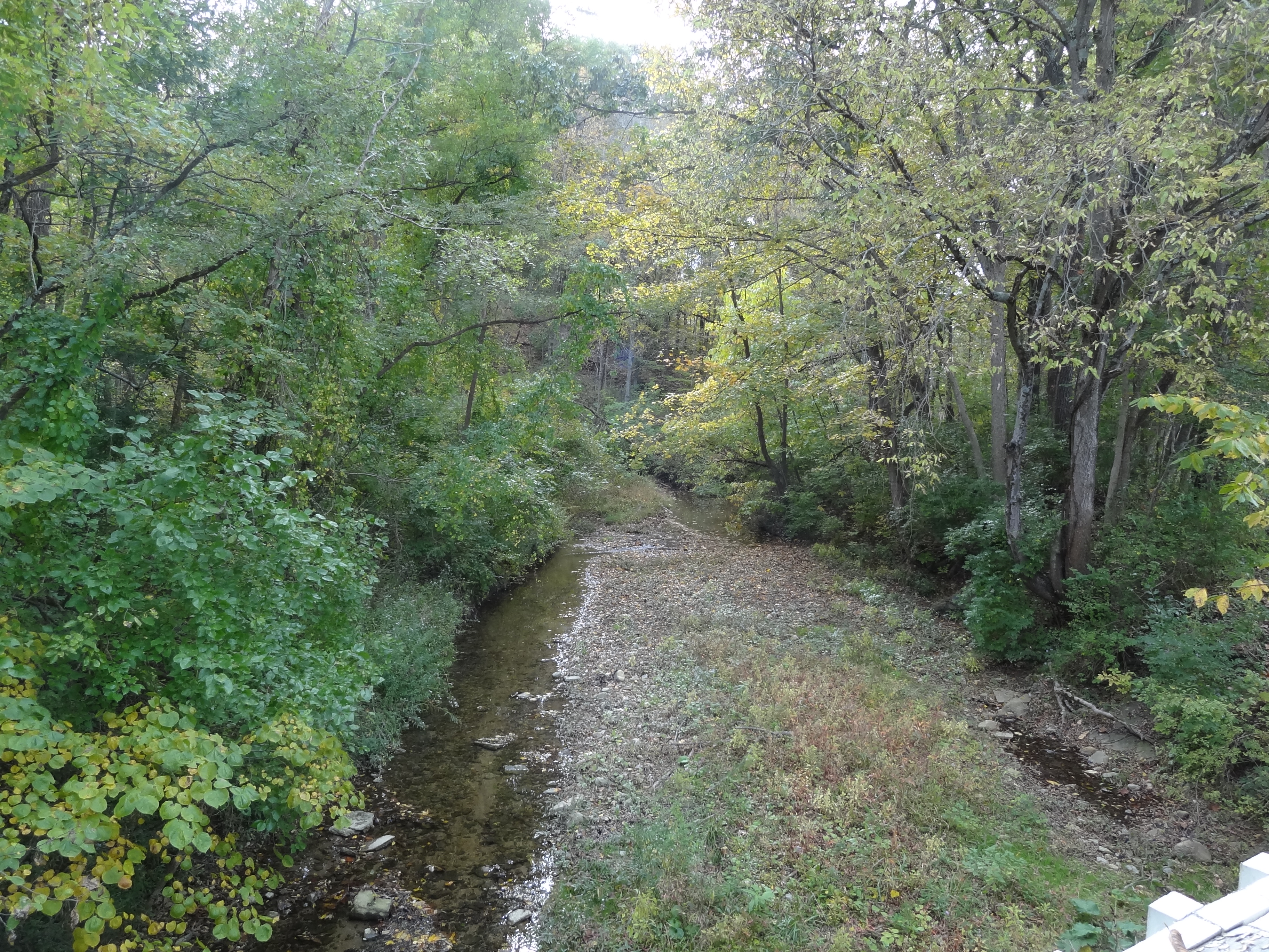
Brubaker Covered Bridge, Preble County, OH - creek view
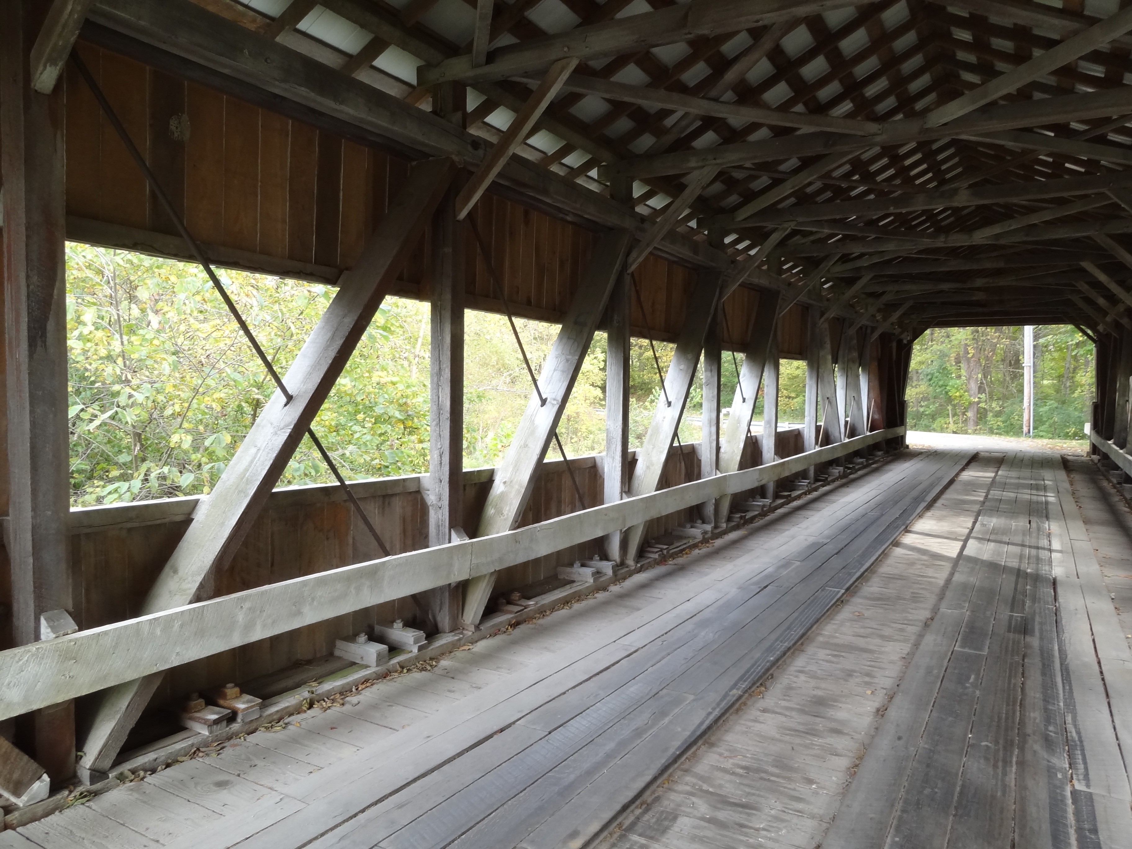
Brubaker Covered Bridge, Preble County, OH - truss view
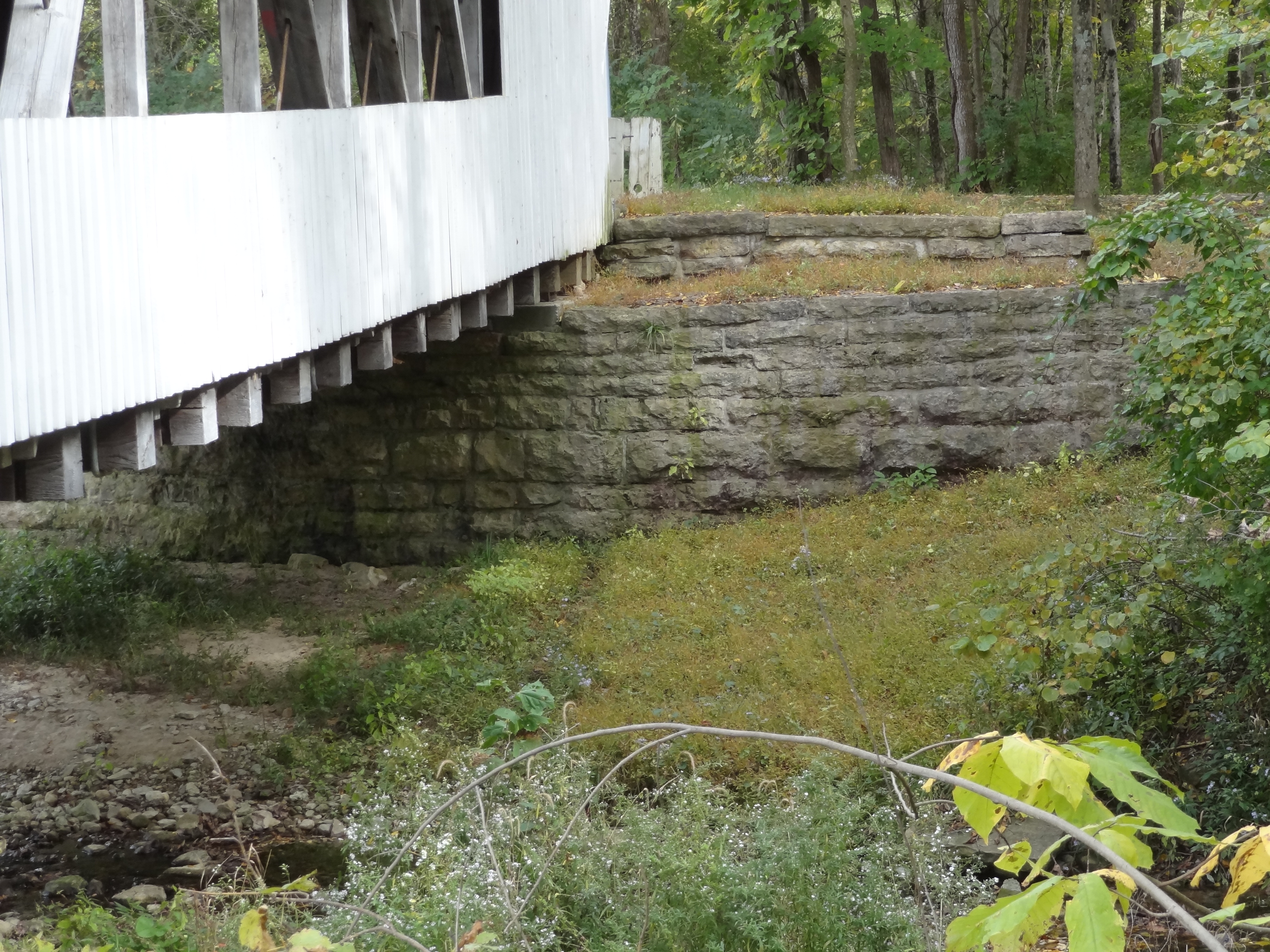
Brubaker Covered Bridge, Preble County, OH - abutment view

Big Cloud

Big Cloud

Germantown MetroPark
Germantown MetroPark

Germantown Metropark

Long exposure
Germantown Metropark

GC2FTZX - Geocaching

Sunset in Middletown

White Dogwood
Geocaching Along Twin Creek Bike/Hike Trail
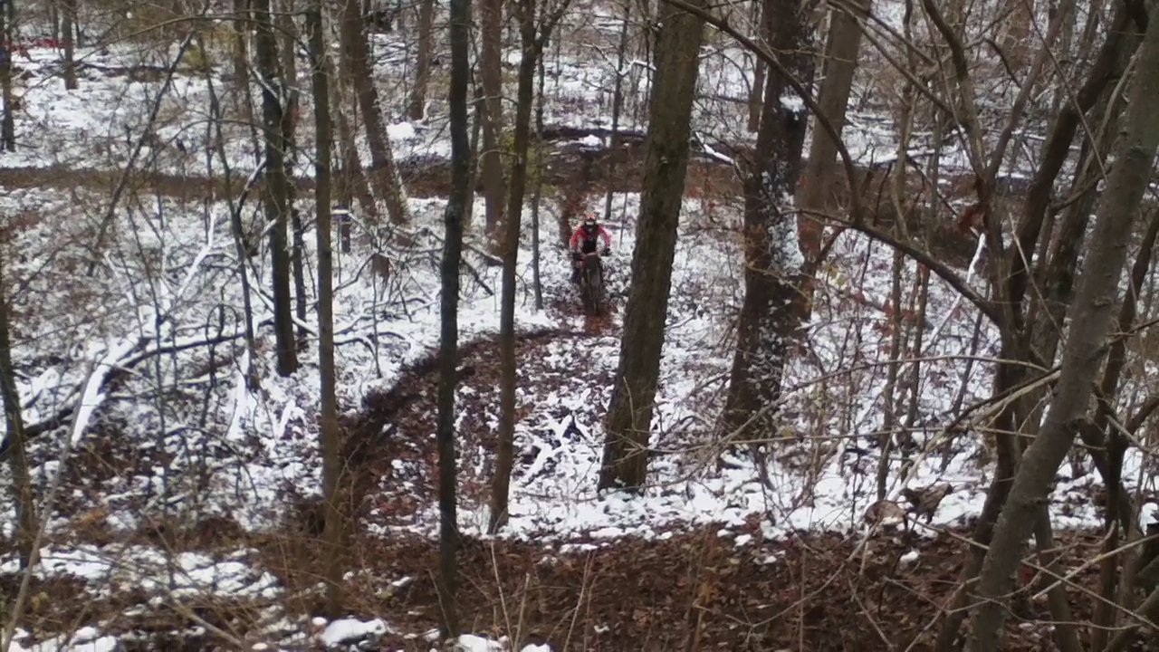
Riding at the Farm 12-5-10 032
Flight School Visit

Ampitheater at Trenton community park

Stars & Stripes Arrive
Riding at the Farm 12-5-10 024
Riding at the Farm 12-5-10 031

NS 25A - Camden, Ohio

Into the Clouds

Germantown MetroPark
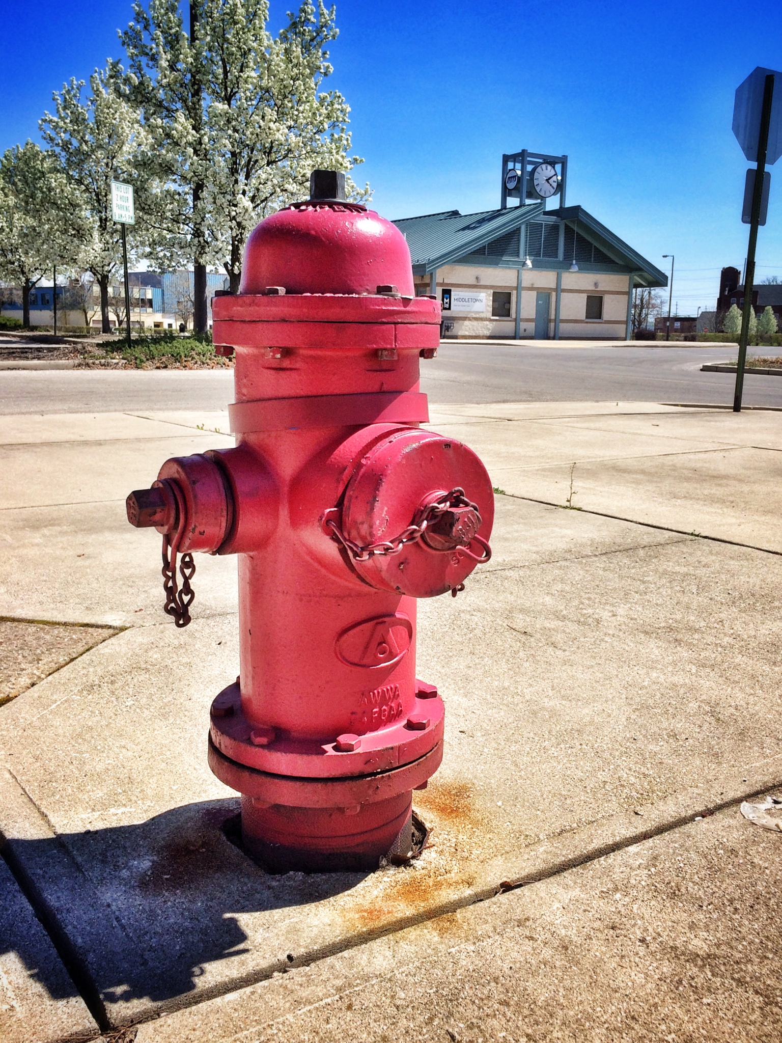
Hail, hydrant.
Topographic Map of S Preble County Line Rd, Middletown, OH, USA
Find elevation by address:

Places near S Preble County Line Rd, Middletown, OH, USA:
Elk Creek Rd, Middletown, OH, USA
6594 W Alexandria Rd
5106 Oxford-middletown
Jacksonburg
Jacksonburg Rd, Trenton, OH, USA
5914 Jacksonburg Rd
Middletown, OH, USA
Beechwood Ave, Somerville, OH, USA
West Elkton
Gratis Township
Madison Township
7987 Myers Rd
West Middletown
Hook Drive
Middletown Germantown Rd, Middletown, OH, USA
4096 Somerville West Elkton Rd
2684 Tolbert Rd
Wayne Township
Cribbs Avenue
Middletown
Recent Searches:
- Elevation of Corso Fratelli Cairoli, 35, Macerata MC, Italy
- Elevation of Tallevast Rd, Sarasota, FL, USA
- Elevation of 4th St E, Sonoma, CA, USA
- Elevation of Black Hollow Rd, Pennsdale, PA, USA
- Elevation of Oakland Ave, Williamsport, PA, USA
- Elevation of Pedrógão Grande, Portugal
- Elevation of Klee Dr, Martinsburg, WV, USA
- Elevation of Via Roma, Pieranica CR, Italy
- Elevation of Tavkvetili Mountain, Georgia
- Elevation of Hartfords Bluff Cir, Mt Pleasant, SC, USA