Elevation of S Pam Dr, Oregon City, OR, USA
Location: United States > Oregon > Clackamas County > Oregon City >
Longitude: -122.54616
Latitude: 45.365691
Elevation: 144m / 472feet
Barometric Pressure: 100KPa
Elevation Map:
Satellite Map:
Related Photos:

balancing act

Out of Nowhere

best view in the house

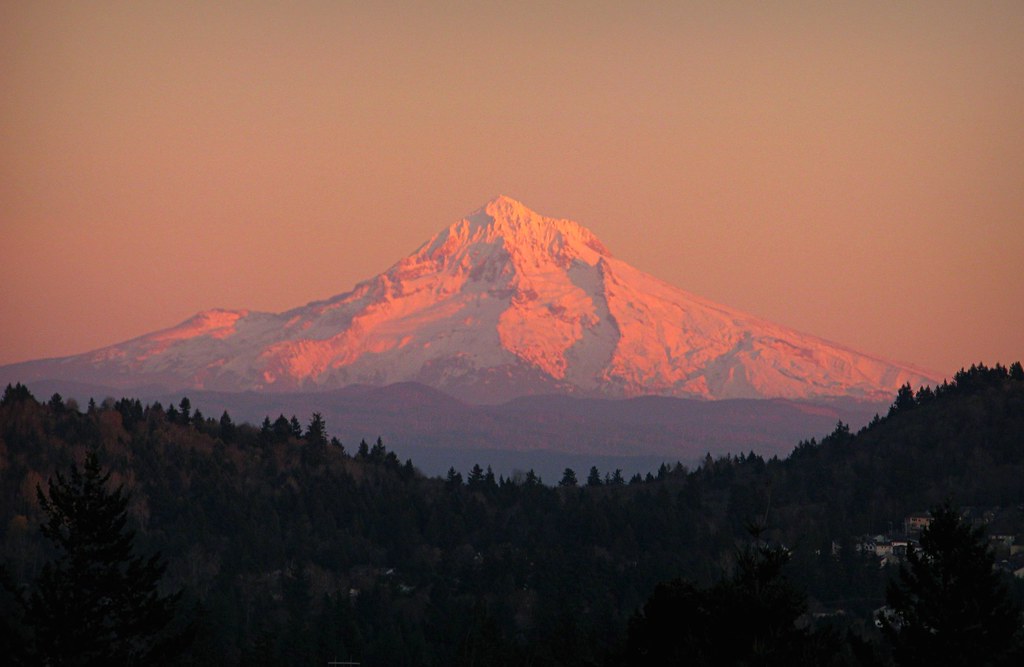
November Sunrise
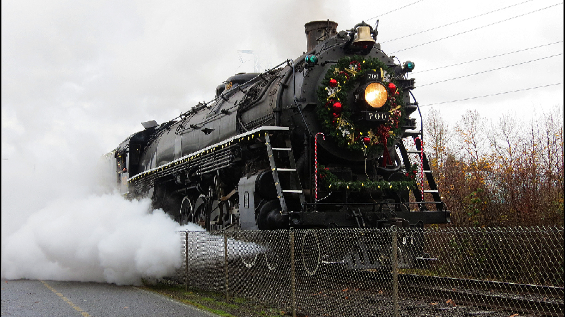
Spokane Portland and Seattle 700 Departing

Spokane Portland And Seattle 700 at Oaks Park

Meeting view

My lunch view -- Fir Acres Estate Gardens

View from the top of South Sister (Middle and North Sister)

Lunch view of the Willamette River. Care to join me?
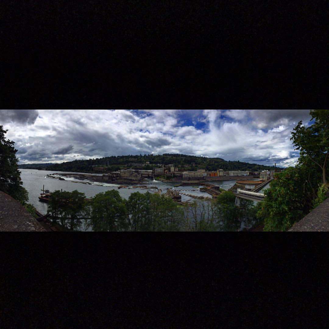
#willamettefalls from above Oregon City. This view will be gone soon once they tear down the abandoned lumber mill and redevelop this into retail. #progressnotprogress #americana #dyingbreed

Fish fountain -- my lunch view at the Fir Acres Estate Gardens
Send Me Home

The view from the bottom as we set out. #nofilter

locked on target
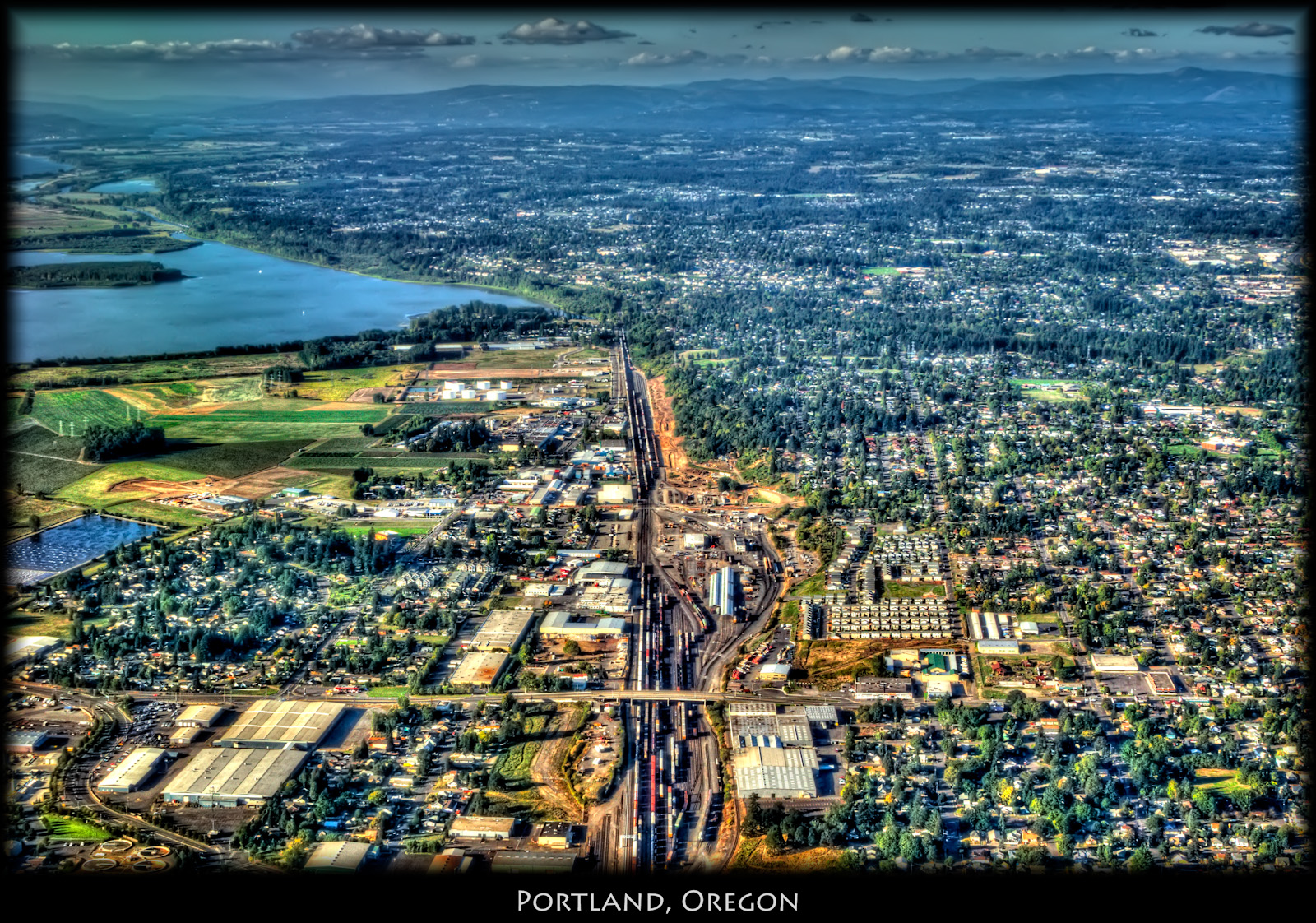
Portland, Oregon

My office view. Things get loud, surprise surprise. (They are building a new dorm right across from me.)

Ravine view

My morning meeting view

Things you see on Google Street View

Lunch view. Serene Willamette river.

When I first saw an image of this place by Chip Phillips I said to myself I had to get there. When I finally found myself standing there after drawing on my years of map reading and navigation skills and getting through the narrow gorge with chest deep fr

... late afternoon sun brightens the tall weeds [in urban wetlands] ...

The Columbia River begins its journey in the Canadian Rockies and finds its way down into Washington and Oregon where it flows past the northern slopes of Mt Hood. There are many tributaries flowing off those slopes where high rainfall feeds a lush forest

Sun, field, magnolia

Big Sky

Urban Jungle

The pond by the river
#168

Sunset in Motion

Sauntering around wild Portland

A do-over of an old muse

Bridge at the Pond

Rape Fields of Devon

Willamette Falls

House on the hill

Follow Me

The Sellwood Bridge

Near Home

Lunchtime stroll

Hole #4

Mauve sky
Topographic Map of S Pam Dr, Oregon City, OR, USA
Find elevation by address:

Places near S Pam Dr, Oregon City, OR, USA:
15961 S Neibur Rd
16075 S Neibur Rd
15055 S Armel Dr
16380 Trail View Dr
15054 S Armel Dr
15022 Journey Dr
14931 S Armel Dr
15001 S Redland Rd
14625 Holcomb Blvd
16321 Oak Valley Dr
17033 S Holly Ln
16571 S Archer Dr
16050 Swan Ave
17253 S Bradley Rd
15998 Songbird Terrace
16447 Swan Ave
17343 S Bradley Rd
15822 Swan Ave
S Bradley Rd, Oregon City, OR, USA
16450 Hunter Ave
Recent Searches:
- Elevation of Corso Fratelli Cairoli, 35, Macerata MC, Italy
- Elevation of Tallevast Rd, Sarasota, FL, USA
- Elevation of 4th St E, Sonoma, CA, USA
- Elevation of Black Hollow Rd, Pennsdale, PA, USA
- Elevation of Oakland Ave, Williamsport, PA, USA
- Elevation of Pedrógão Grande, Portugal
- Elevation of Klee Dr, Martinsburg, WV, USA
- Elevation of Via Roma, Pieranica CR, Italy
- Elevation of Tavkvetili Mountain, Georgia
- Elevation of Hartfords Bluff Cir, Mt Pleasant, SC, USA