Elevation of S Mountain Rd, Fruit Heights, UT, USA
Location: United States > Utah > Davis County > Fruit Heights >
Longitude: -111.90031
Latitude: 41.028055
Elevation: 1422m / 4665feet
Barometric Pressure: 85KPa
Elevation Map:
Satellite Map:
Related Photos:
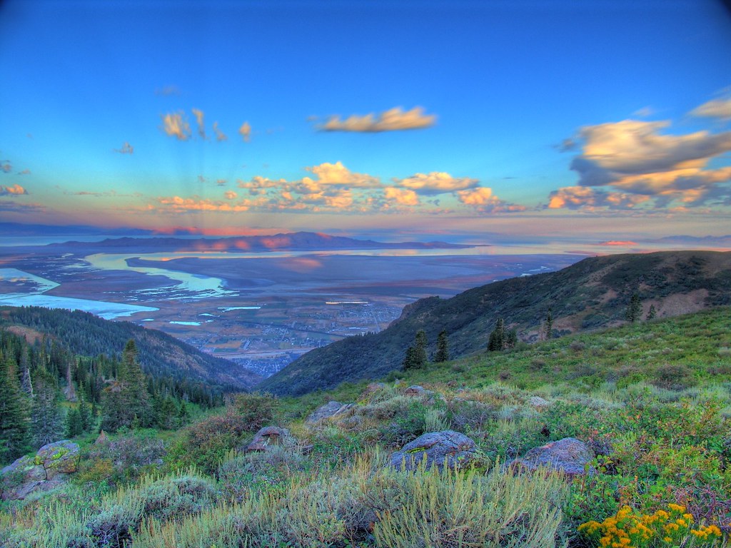
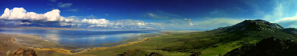
Great Salt Lake Morning View

Look Into My Eyes

church-cross.jpg

Union Pacific 844

The Scarlet Pimpernel - Viewmont High School - 0523

Formation #3

Lunar Eclipse Dec. 10, 2011
South end of Antelope Island

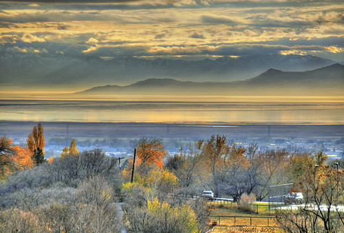
Valley Haze
A little piece of Utah paradise
Looking North at Sunset.

Pumpkin Patch ~ My Beautiful Sister
view from the top of Dooly Knob
Clouds and Sun on Ben Lomond

Contrails and Clouds

The Scarlet Pimpernel - Viewmont High School - 0527

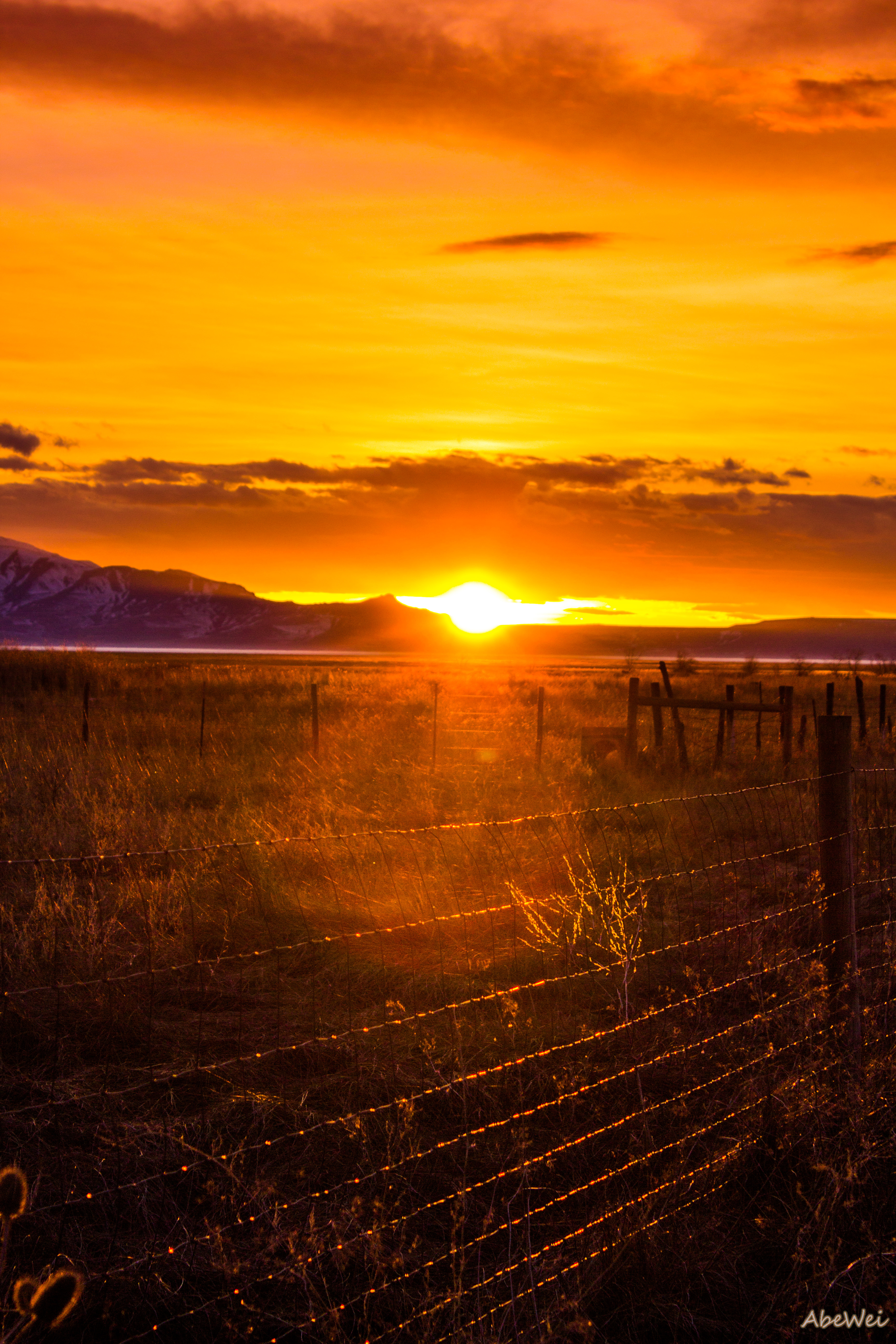
Horse Pasture Sunset

northbound I-15 at 200 West, 1972

The Scarlet Pimpernel - Viewmont High School - 0515
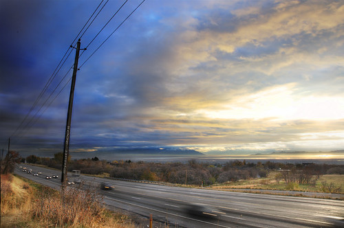
Traffic on Highway 89

Utah Sunrise

Layton, UT

The Great Salt Lake Shorelands Preserve, UT

Layton,UT

Bountiful Lake

Hay !

The Great Salt Lake Shorelands Preserve, UT

South Ogden, UT
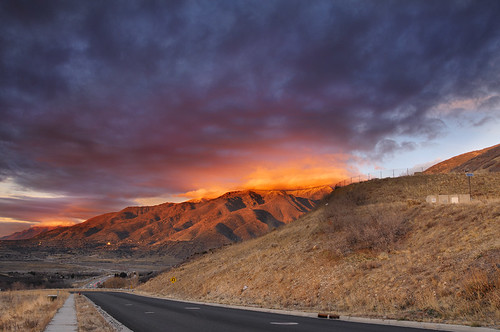
Utah's Sunset

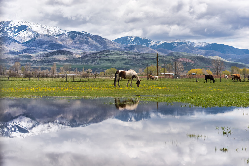
A Happy Horse.

Layton, UT

Captured at Dawn
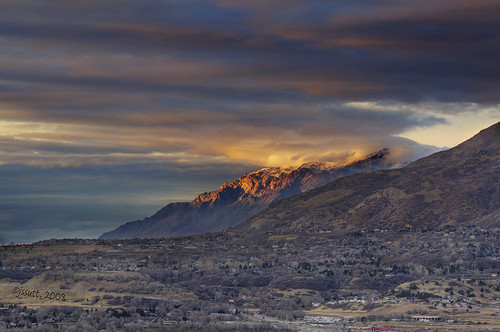
Ben Lomond

Bountiful Lake

Shot with Colors

IMG_8086.DNG

IMG_8062.DNG

Running into a Light Curtain

Bountiful Lake
Topographic Map of S Mountain Rd, Fruit Heights, UT, USA
Find elevation by address:

Places near S Mountain Rd, Fruit Heights, UT, USA:
East Oaks Drive
Fruit Heights
U.s. Highway 89
Fruit Heights City Shop
1134 E Laurelwood Dr S
Fruit Heights Castle Park
1134 Laurelwood Dr
1233 High Crest Cir
Bella Vista Drive
Summer Wood Dr, Farmington, UT, USA
497 Oakwood Cir
402 Primrose Ct
Oakmont Lane
435 N 1150 E
45 S 760 E
15 S 760 E
1527 N Main St
1440 Cherry Blossom Dr
East Bedford Drive
1059 N Kingswood Rd
Recent Searches:
- Elevation of Corso Fratelli Cairoli, 35, Macerata MC, Italy
- Elevation of Tallevast Rd, Sarasota, FL, USA
- Elevation of 4th St E, Sonoma, CA, USA
- Elevation of Black Hollow Rd, Pennsdale, PA, USA
- Elevation of Oakland Ave, Williamsport, PA, USA
- Elevation of Pedrógão Grande, Portugal
- Elevation of Klee Dr, Martinsburg, WV, USA
- Elevation of Via Roma, Pieranica CR, Italy
- Elevation of Tavkvetili Mountain, Georgia
- Elevation of Hartfords Bluff Cir, Mt Pleasant, SC, USA