Elevation of S Milstead Ct, Wichita, KS, USA
Location: United States > Kansas > Sedgwick County > Wichita >
Longitude: -97.477125
Latitude: 37.6522411
Elevation: 408m / 1339feet
Barometric Pressure: 97KPa
Elevation Map:
Satellite Map:
Related Photos:

Riverside, Wichita.

Parking Garage
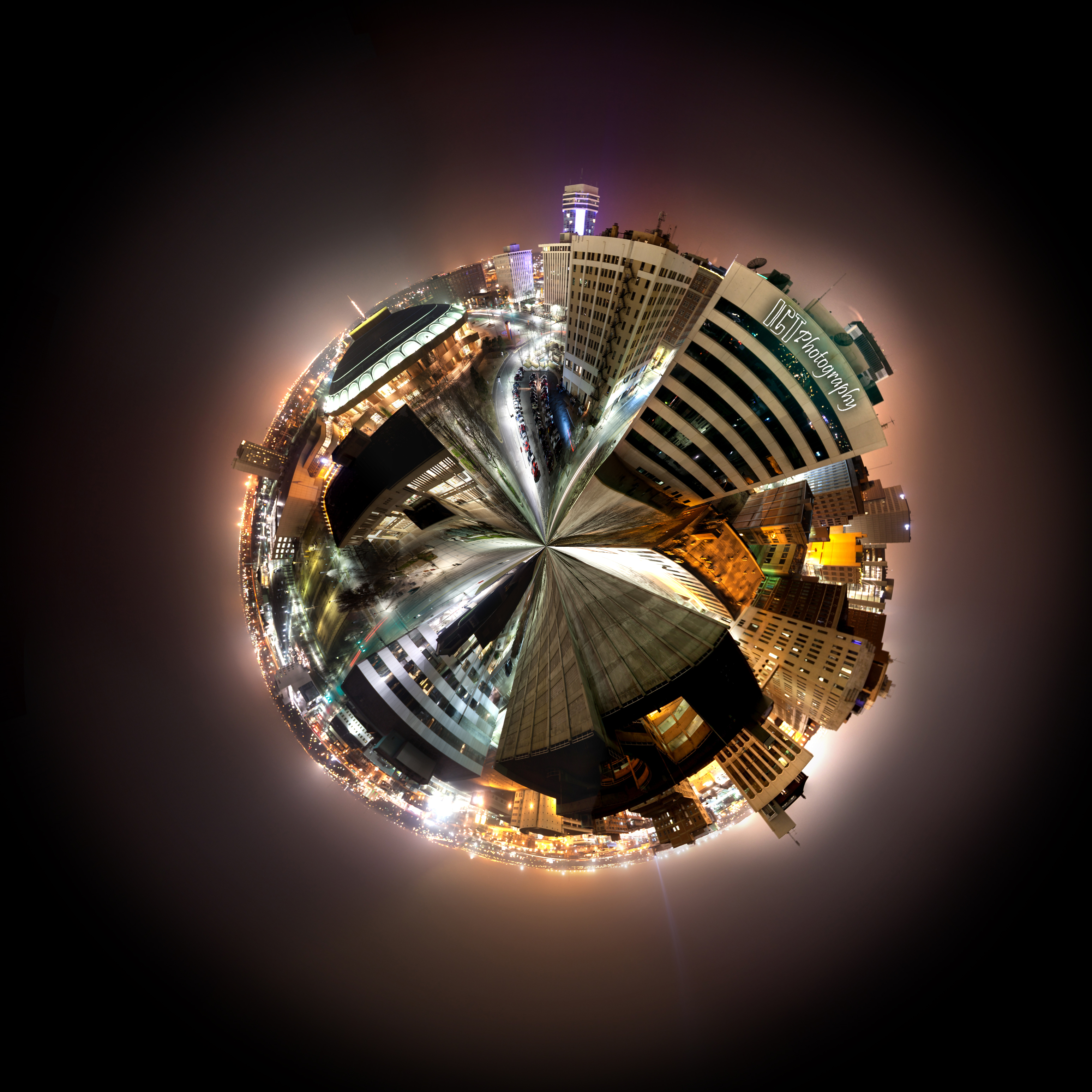
Planet Wichita
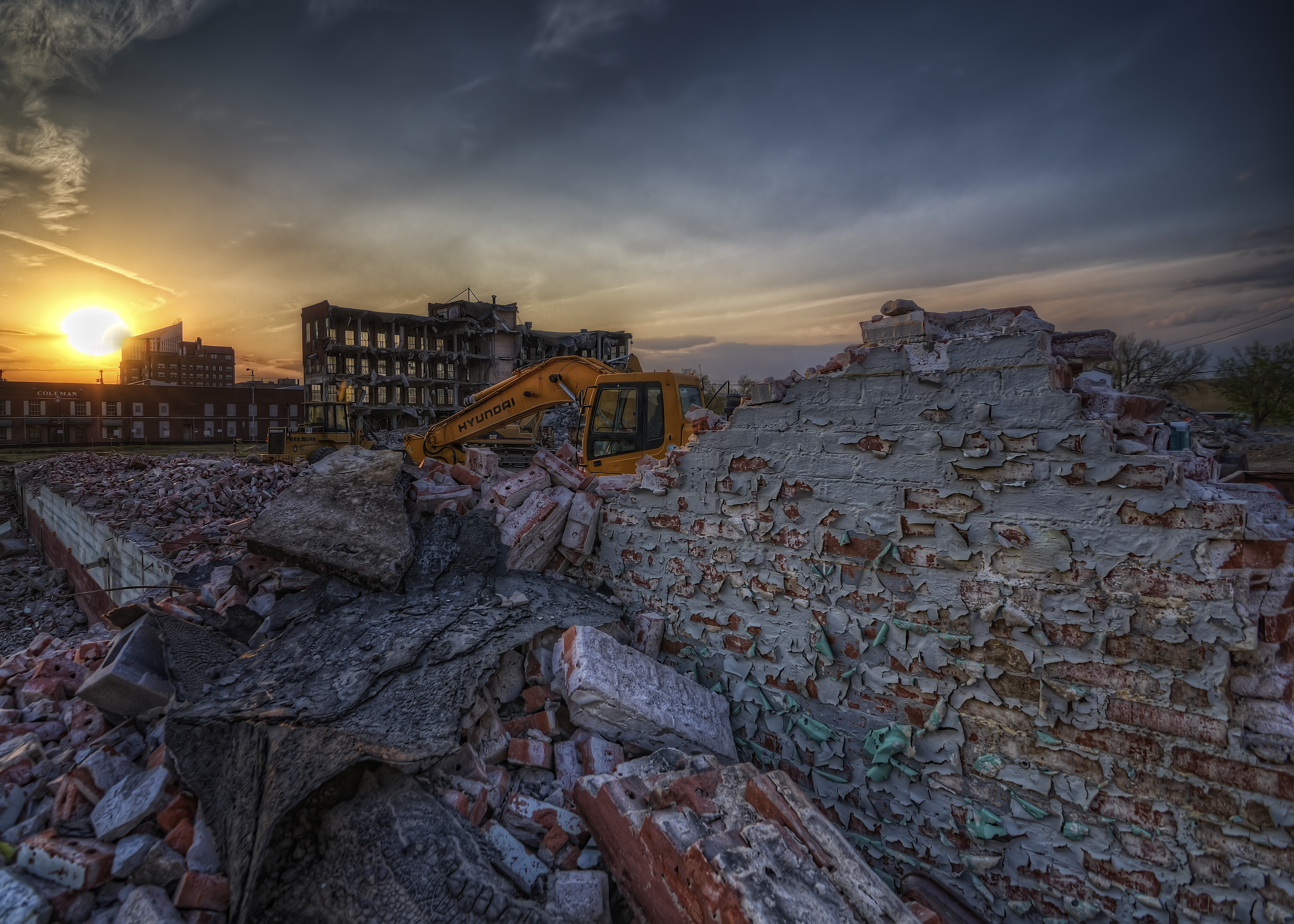
Peeling Paint

015-10 - to play billiards well was a sign of an ill-spent youth

View from top of Epic Center

The Keeper

Boonie Von Doom

View from top of Epic Center
Warm Invitation

Wichita Botanica

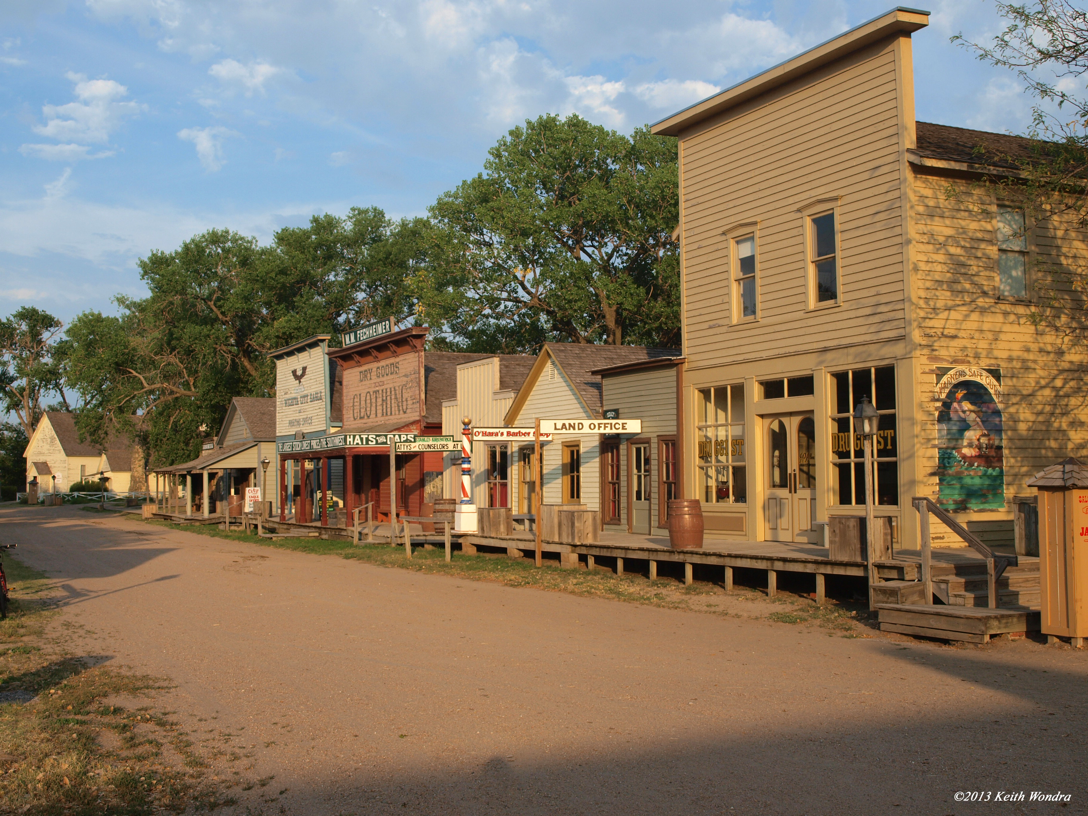
ON THE STREETS OF WICHITA. . .
A view from the board
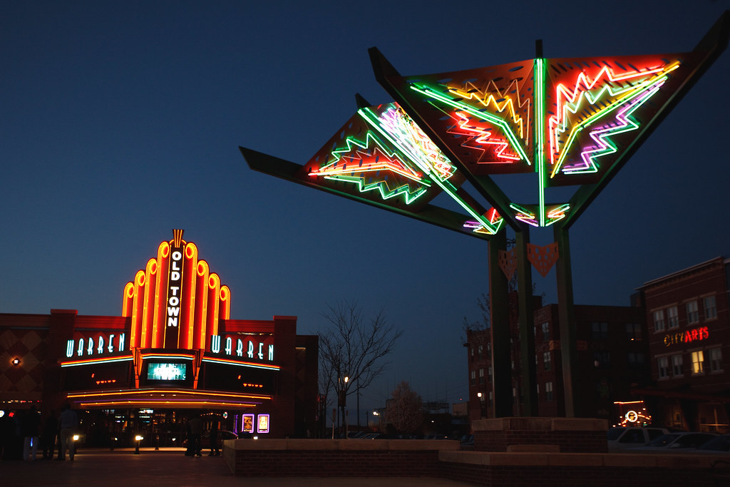
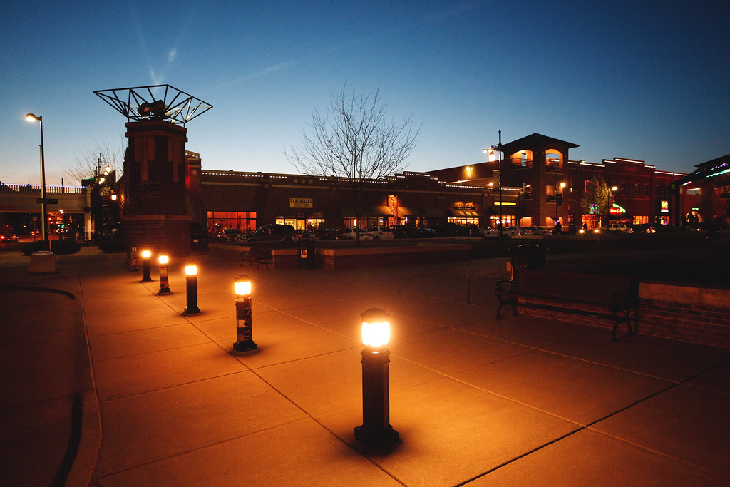
Old Town Warren
Two a Walkin' in Wichita.
Downtown Wichita
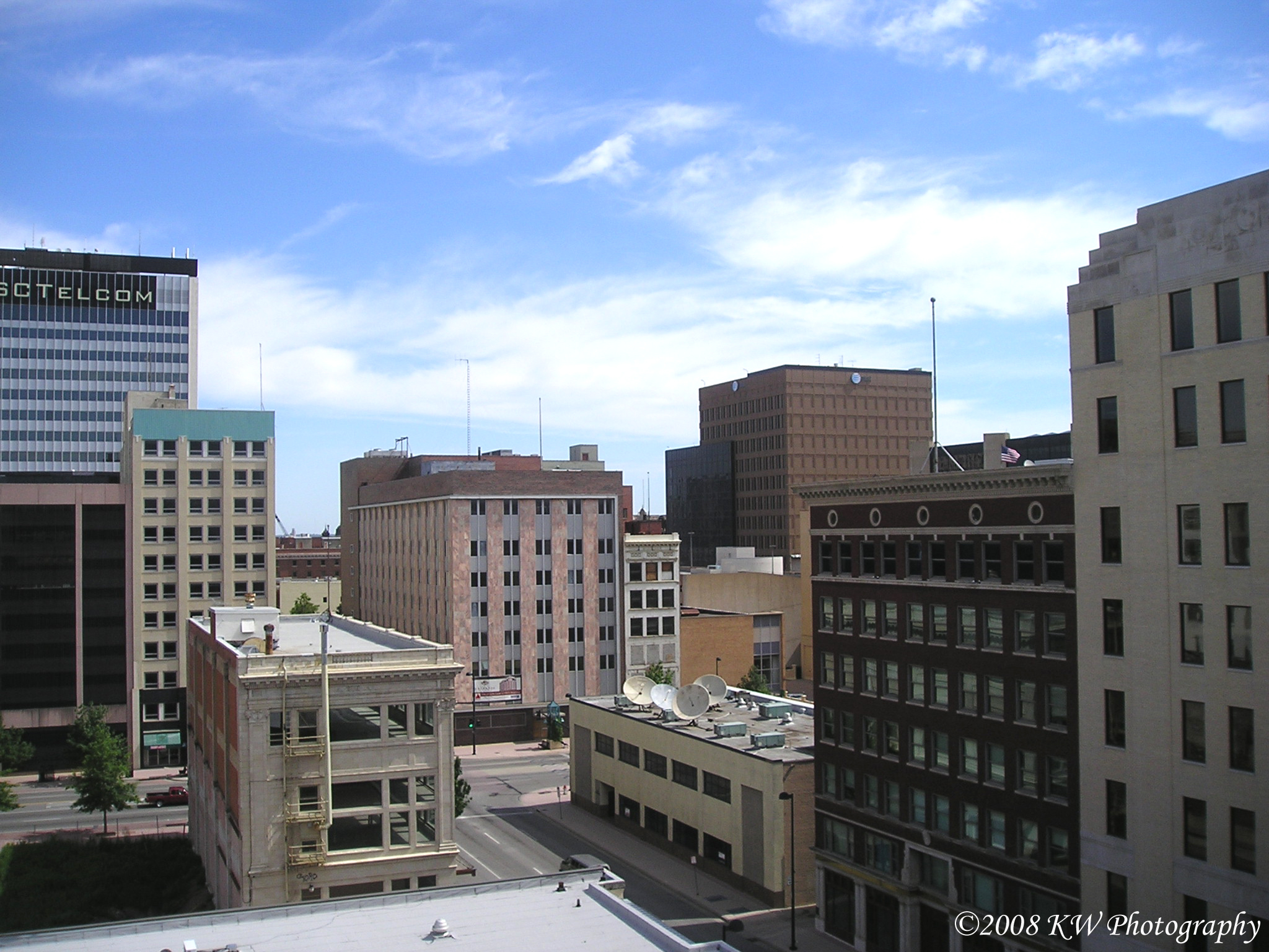
Business District

Neal Shooting My G23C

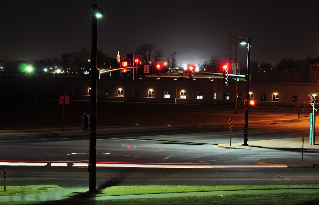
Bridge Lit

Observatory at work
Fire Station Number 2
painterly landscape

P1010676.JPG
On a sandbar

Geese at Sunset
P1010702.JPG

P1010713.JPG

009/365 :: Waiting For The Sun To Set, Waiting For A Dream

Sunset in Kansas

Sunset!!!
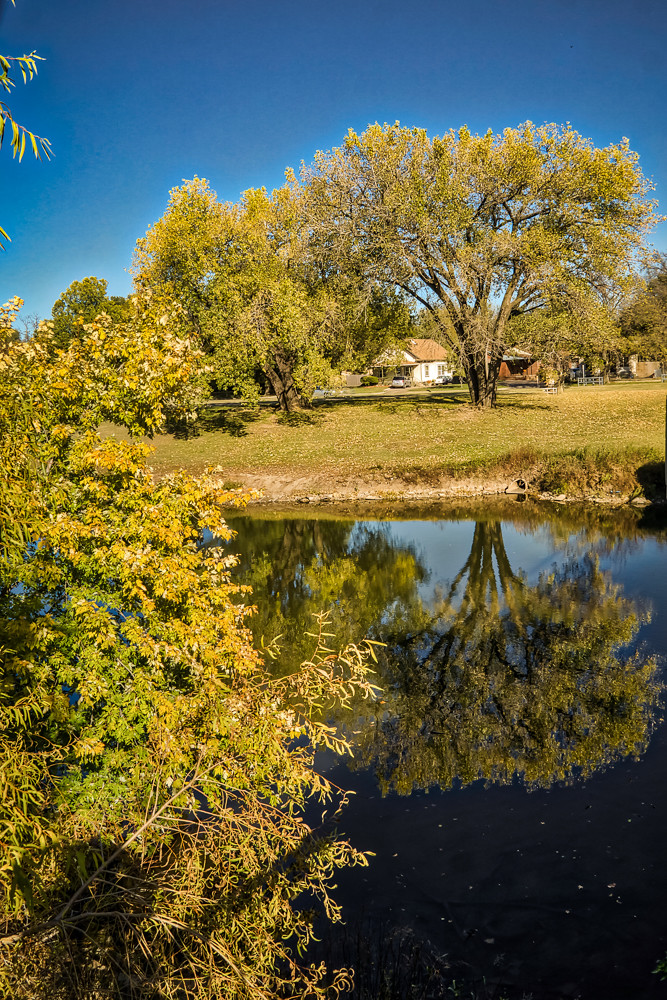
autumn reflection

Veterans Memorial Park (13)

St. Marks
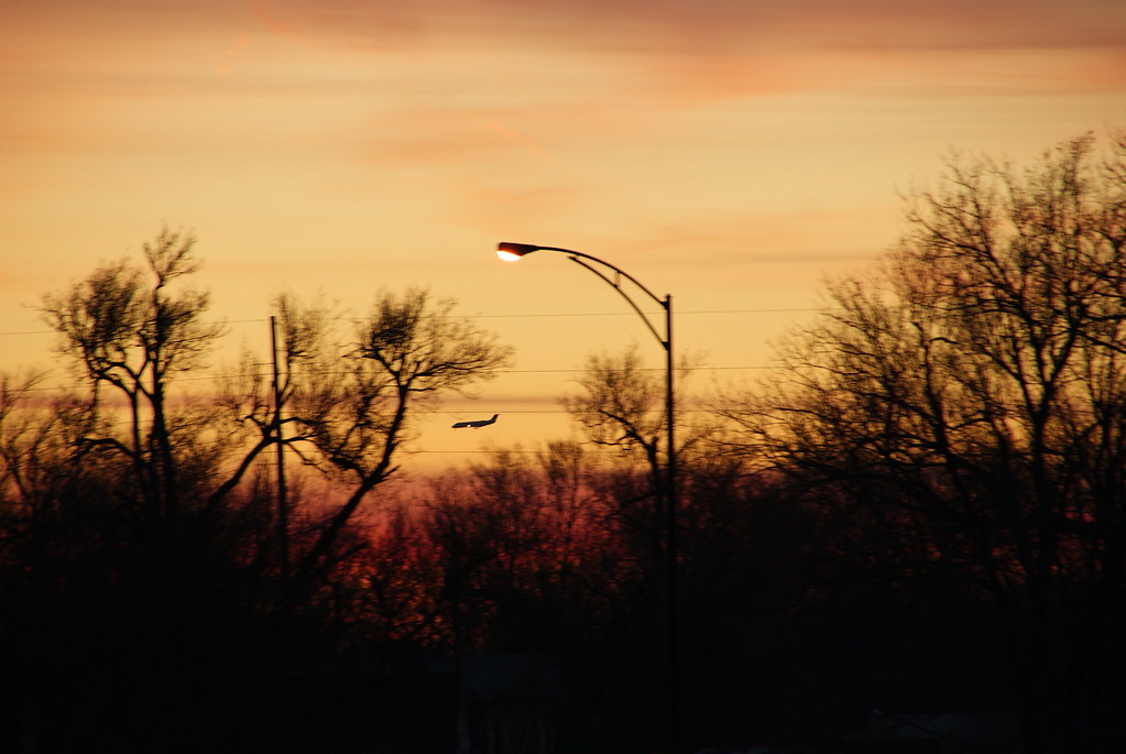
Day 64 - Final Approach
Wichita Winter

Lilly Pad
IMG_2030 JPEG Movement
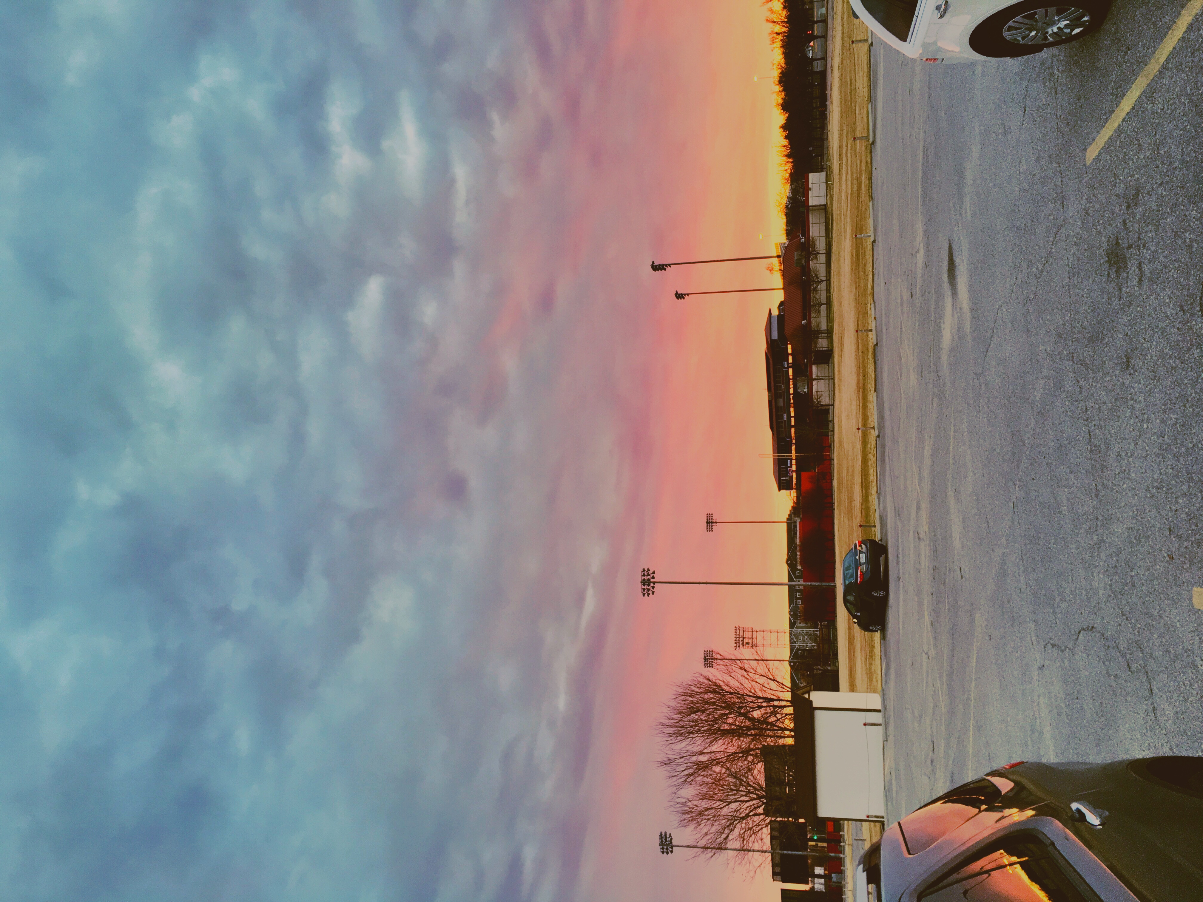
Lawrence Dumont Stadium - Wichita

2013 Project 365 - 156
Picture 001a JPEG Landscape M
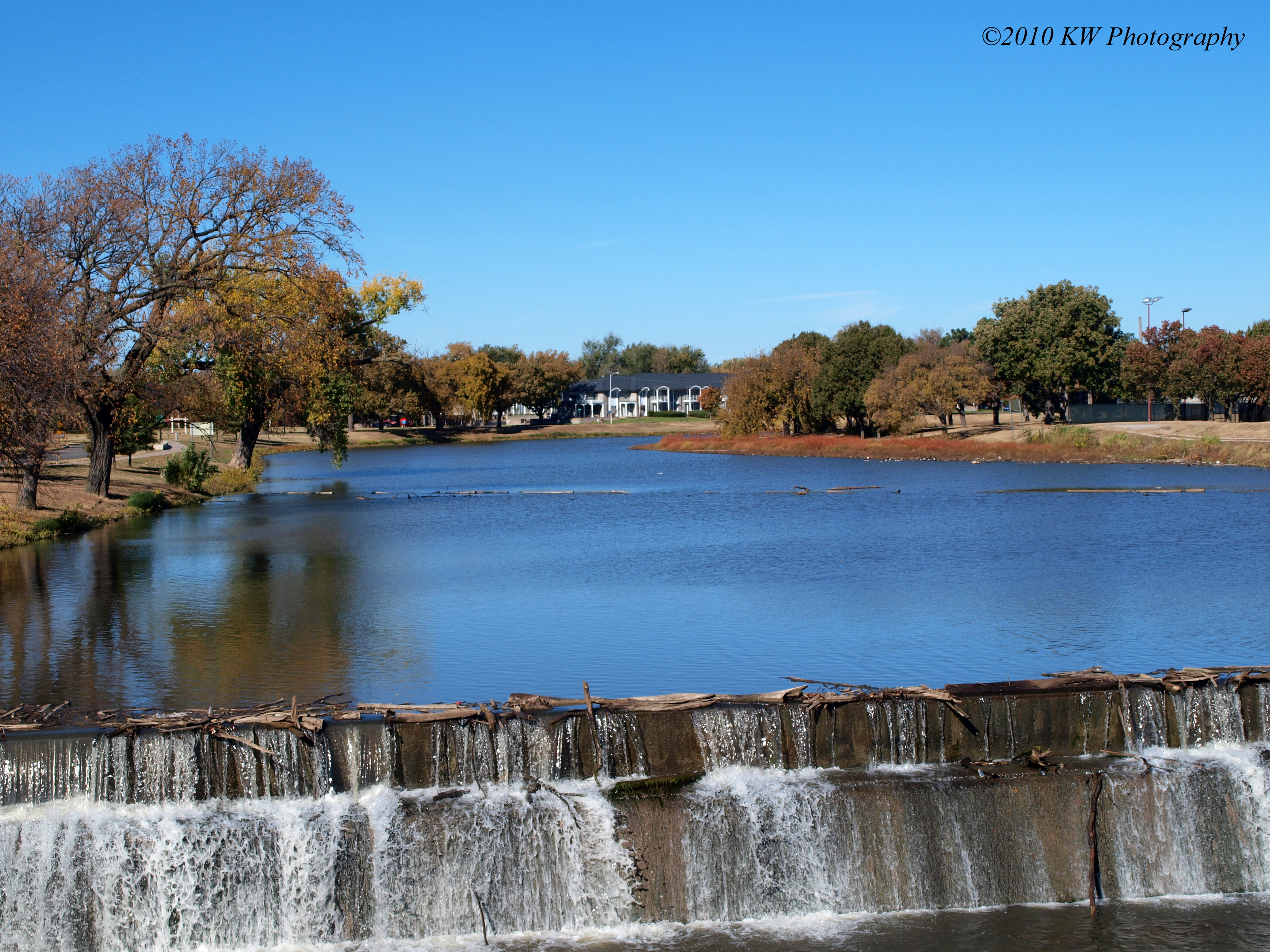
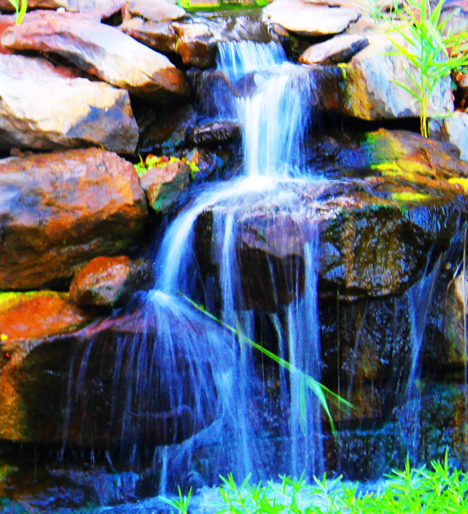
Little Arkansas River Dam
Topographic Map of S Milstead Ct, Wichita, KS, USA
Find elevation by address:

Places near S Milstead Ct, Wichita, KS, USA:
S Wetmore St, Wichita, KS, USA
W Kellogg Dr, Wichita, KS, USA
S Tyler Rd, Wichita, KS, USA
N Byron Rd, Wichita, KS, USA
909 N Maize Rd
Sedgwick County
Wichita Dwight D. Eisenhower National Airport
Westlink
Peterson St, Wichita, KS, USA
1038 N Westlink Ave
S Howe St, Wichita, KS, USA
N Denmark, Wichita, KS, USA
Randstad Wichita Staffing Manufacturing & Logistics
Newmarket Square
Kobe Steak House Of Japan West
Attica
Ascension Via Christi St. Teresa
Schenker Inc
Southwest Village
Oasis Lounge
Recent Searches:
- Elevation of Corso Fratelli Cairoli, 35, Macerata MC, Italy
- Elevation of Tallevast Rd, Sarasota, FL, USA
- Elevation of 4th St E, Sonoma, CA, USA
- Elevation of Black Hollow Rd, Pennsdale, PA, USA
- Elevation of Oakland Ave, Williamsport, PA, USA
- Elevation of Pedrógão Grande, Portugal
- Elevation of Klee Dr, Martinsburg, WV, USA
- Elevation of Via Roma, Pieranica CR, Italy
- Elevation of Tavkvetili Mountain, Georgia
- Elevation of Hartfords Bluff Cir, Mt Pleasant, SC, USA