Elevation of S Manheim St, East York, PA, USA
Location: United States > Pennsylvania > York County > Springettsbury Township > East York >
Longitude: -76.691568
Latitude: 39.9703793
Elevation: 121m / 397feet
Barometric Pressure: 100KPa
Elevation Map:
Satellite Map:
Related Photos:

Susquehanna overlook
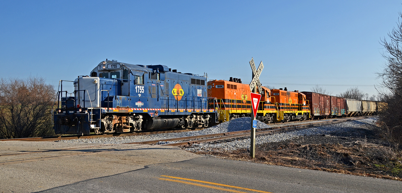
2021 01-12 1426-5 YRC GP10-1755 E/B RJ-2, Thomasville, PA

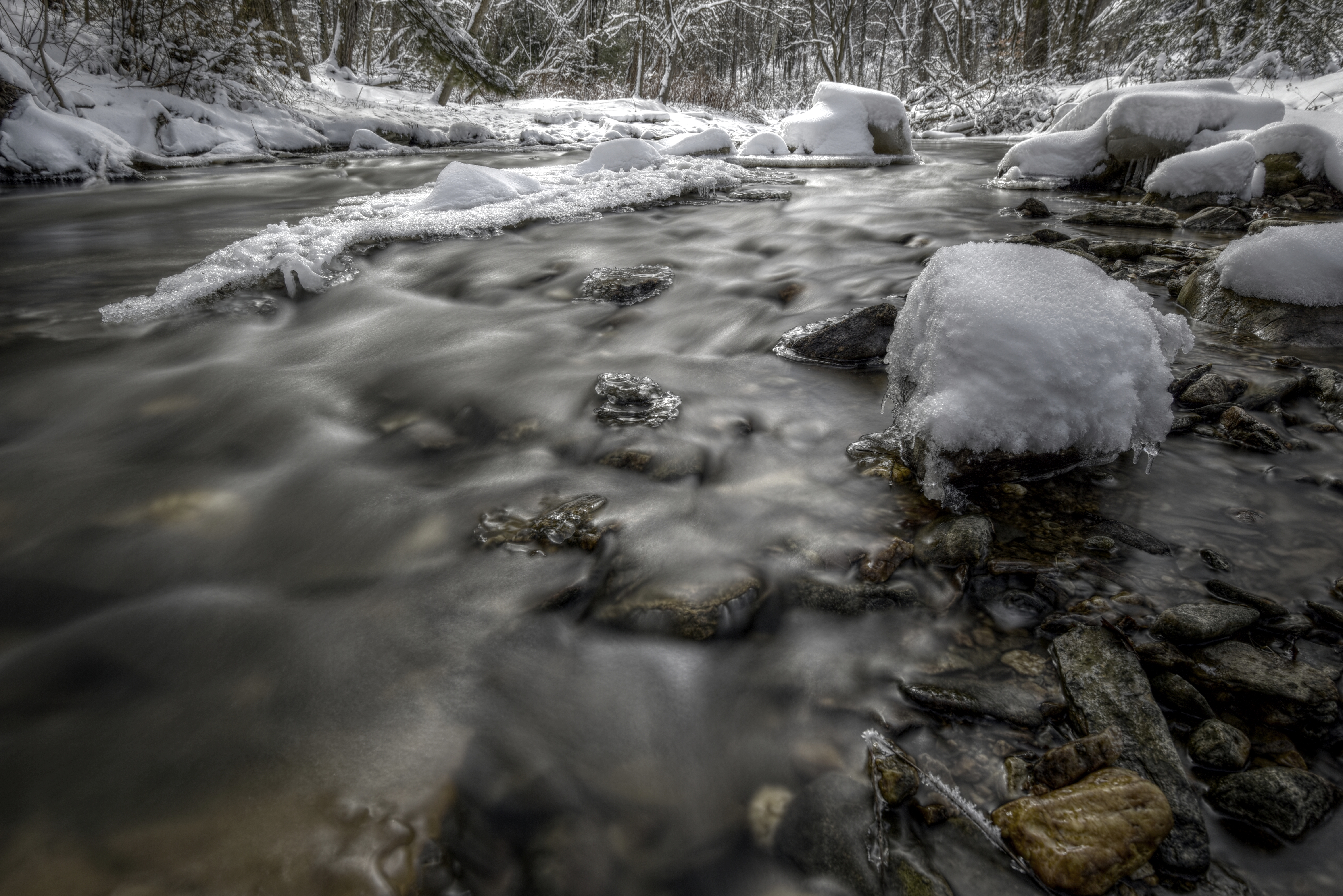
Not So Ice Cold

2020 11-25 0957-3 YRC GP10-1755 W/B RJ-2 Thomasville, PA

2021 01-12 1426-3 YRC GP10-1755 E/B RJ-2, Thomasville, PA

Wyndham Hill Sunset

2020 11-25 0957-7 YRC GP10-1755 W/B RJ-2 Thomasville, PA

2020 11-25 1440-2 YRC GP15-1-1532 MPA switching, Thomasville, PA

American Bridge Co Ghost Sign

Manchester, PA

Wyndham Hills in York, PA

Are you enjoying the View?

Downtown York City, York, PA

Colonial Courthouse, York, PA

Red Lion, PA
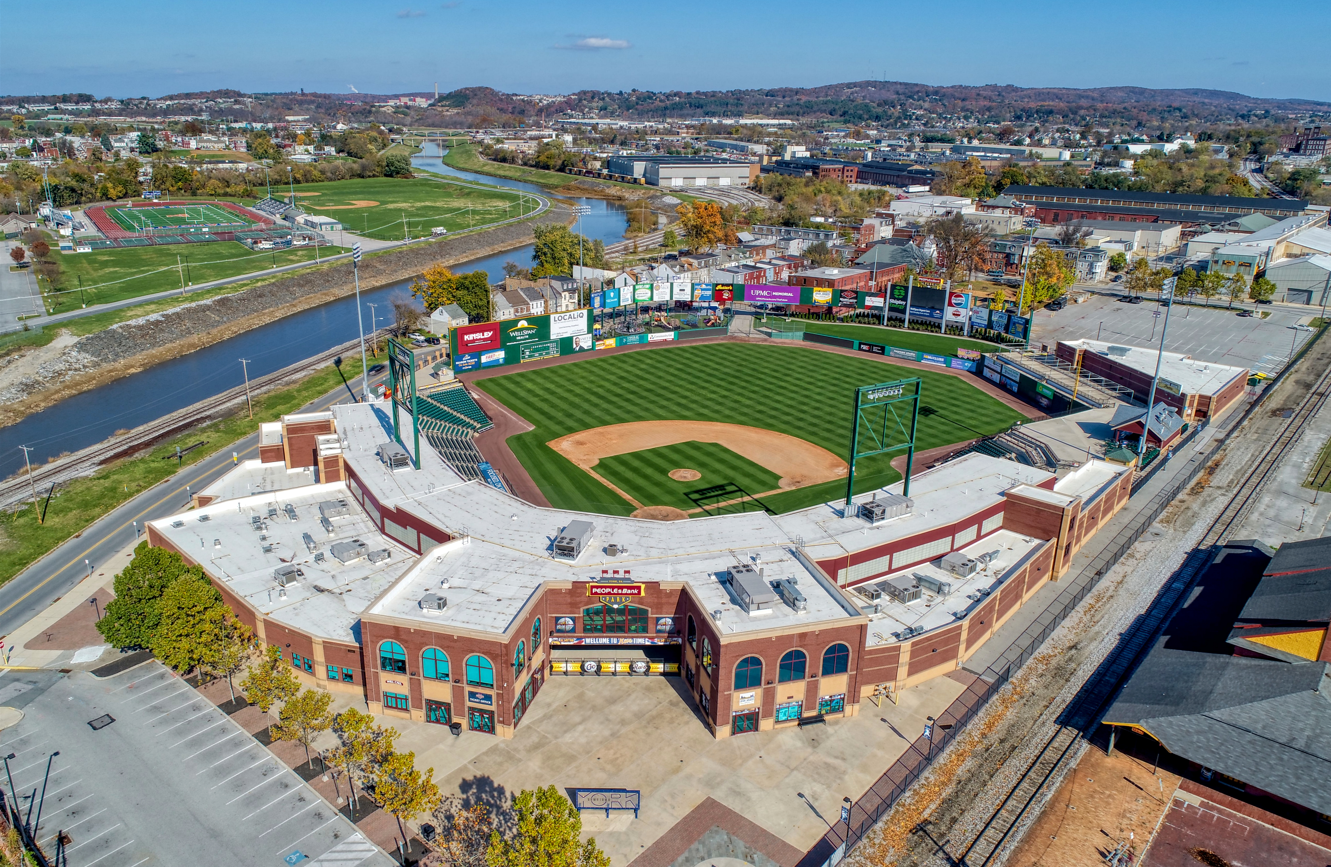
PeoplesBank Park - York Revolution

York Business Center water tower [01]
All in stride...

Shock's Mill Bridge, click to view full size

Best view in town

Wingspan - Explored (9/13/12)

River Moods

Winter River

Winter's Cabin

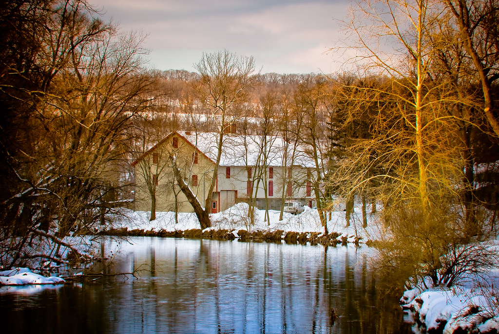
Bair's Mill

Betwixt & Between

Morninng Tree

Little Falls

Autumn Creek
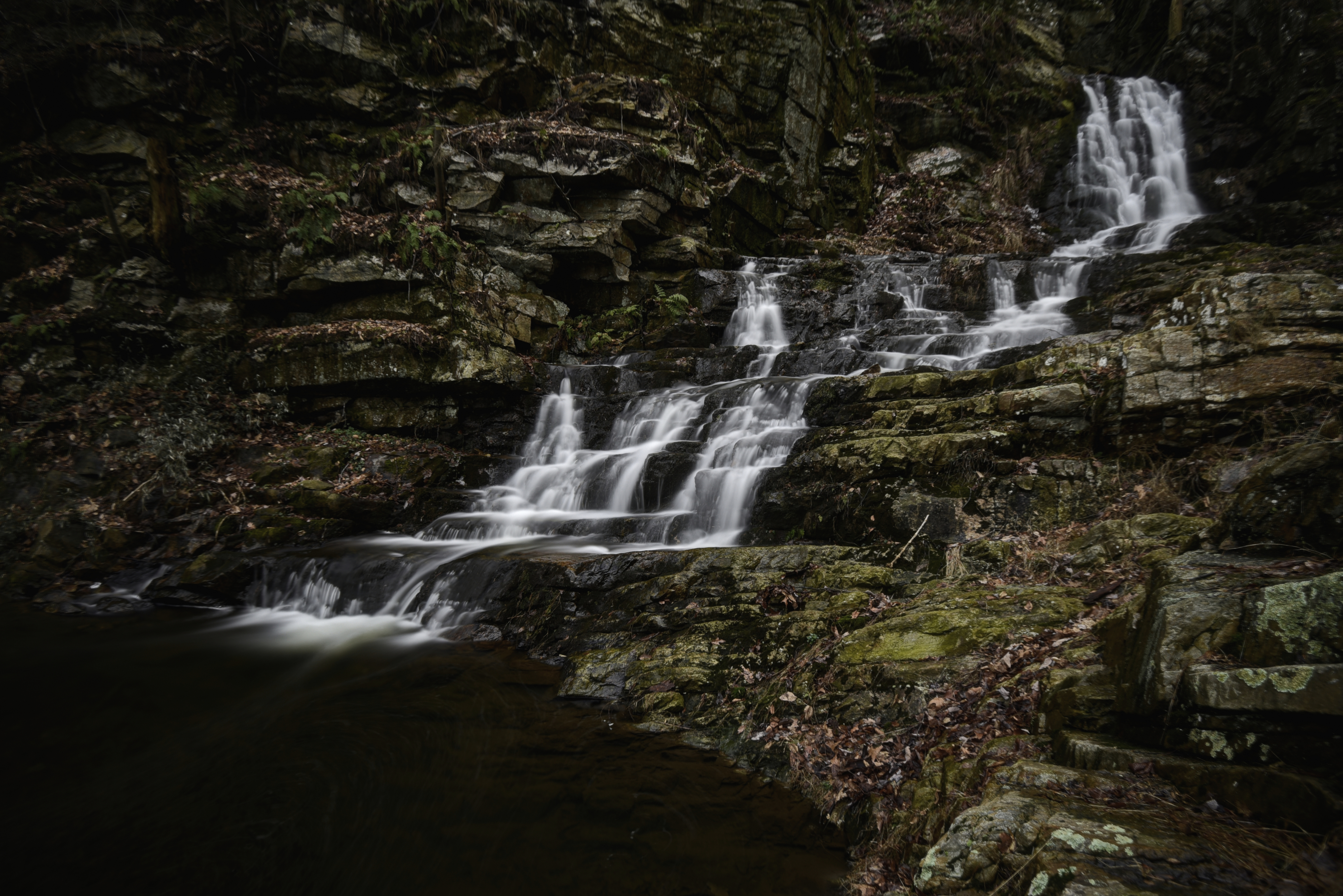
Wildcat Gorge
Winter Creek

Cloudy Afternoon

First Snow

The calm of the morning - Explored (9/9/12)

Morning Tree

Pennsylanian Big Sky

Wrightsville Bridge

Columbia–Wrightsville Bridge

Freight in the field

out standing
Topographic Map of S Manheim St, East York, PA, USA
Find elevation by address:

Places near S Manheim St, East York, PA, USA:
107 S Keesey St
127 N Manheim St
East York
1495 E Philadelphia St
1341 E Philadelphia St
1003 E Market St
121 S Sherman St
Pattison Street
1305 Southern Rd
951 S Queen St
55 S Pine St
157 Springdale Rd
117 E Princess St
141 S Duke St
141 S Duke St
141 S Duke St
1001 S George St
York
303 Arsenal Rd
York College Of Pennsylvania
Recent Searches:
- Elevation of Corso Fratelli Cairoli, 35, Macerata MC, Italy
- Elevation of Tallevast Rd, Sarasota, FL, USA
- Elevation of 4th St E, Sonoma, CA, USA
- Elevation of Black Hollow Rd, Pennsdale, PA, USA
- Elevation of Oakland Ave, Williamsport, PA, USA
- Elevation of Pedrógão Grande, Portugal
- Elevation of Klee Dr, Martinsburg, WV, USA
- Elevation of Via Roma, Pieranica CR, Italy
- Elevation of Tavkvetili Mountain, Georgia
- Elevation of Hartfords Bluff Cir, Mt Pleasant, SC, USA