Elevation of S Main St, Sturgis, KY, USA
Location: United States > Kentucky > Union County > Sturgis >
Longitude: -87.983858
Latitude: 37.5469172
Elevation: 114m / 374feet
Barometric Pressure: 100KPa
Elevation Map:
Satellite Map:
Related Photos:

Nip Rip Animation v2

Nip Rip Animation v1

A Different LIght

Looking Through To The Pasture II

...
Tree Line On Fire Tower Hill
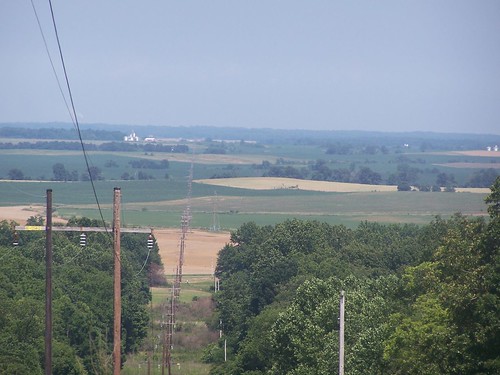
All The Way To The Next County
The View

Camera Roll-1972
Ohio River
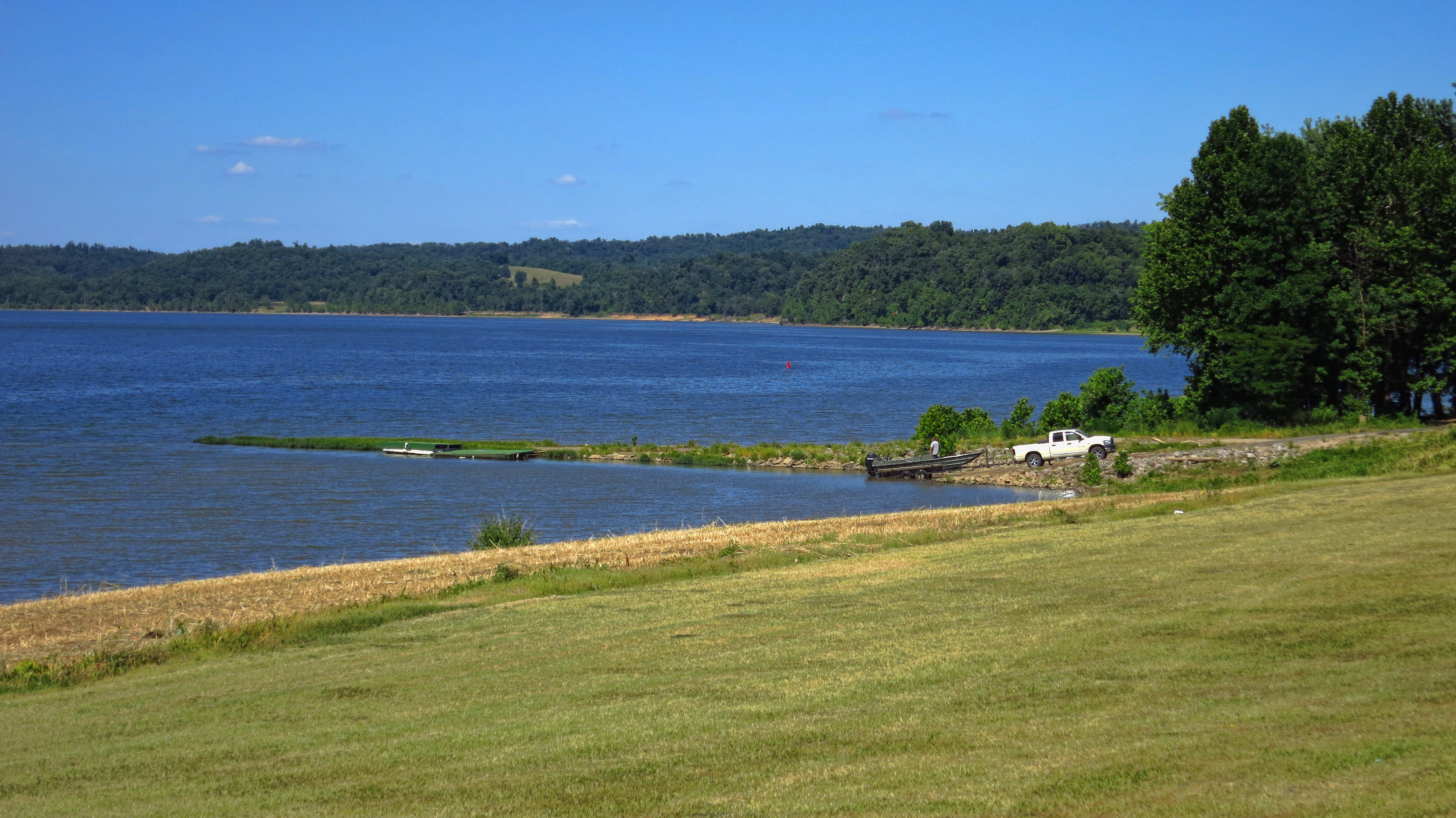
Ohio River

The Coast Is Still Clear

geese @ lake mauzy
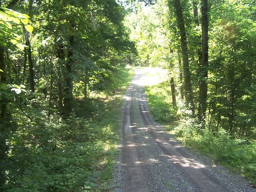
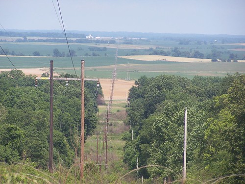
Road To The Fire Tower
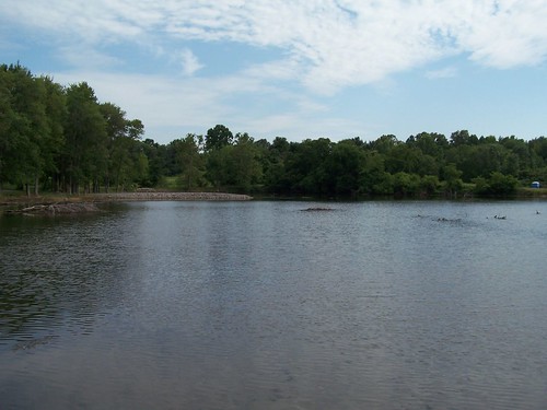
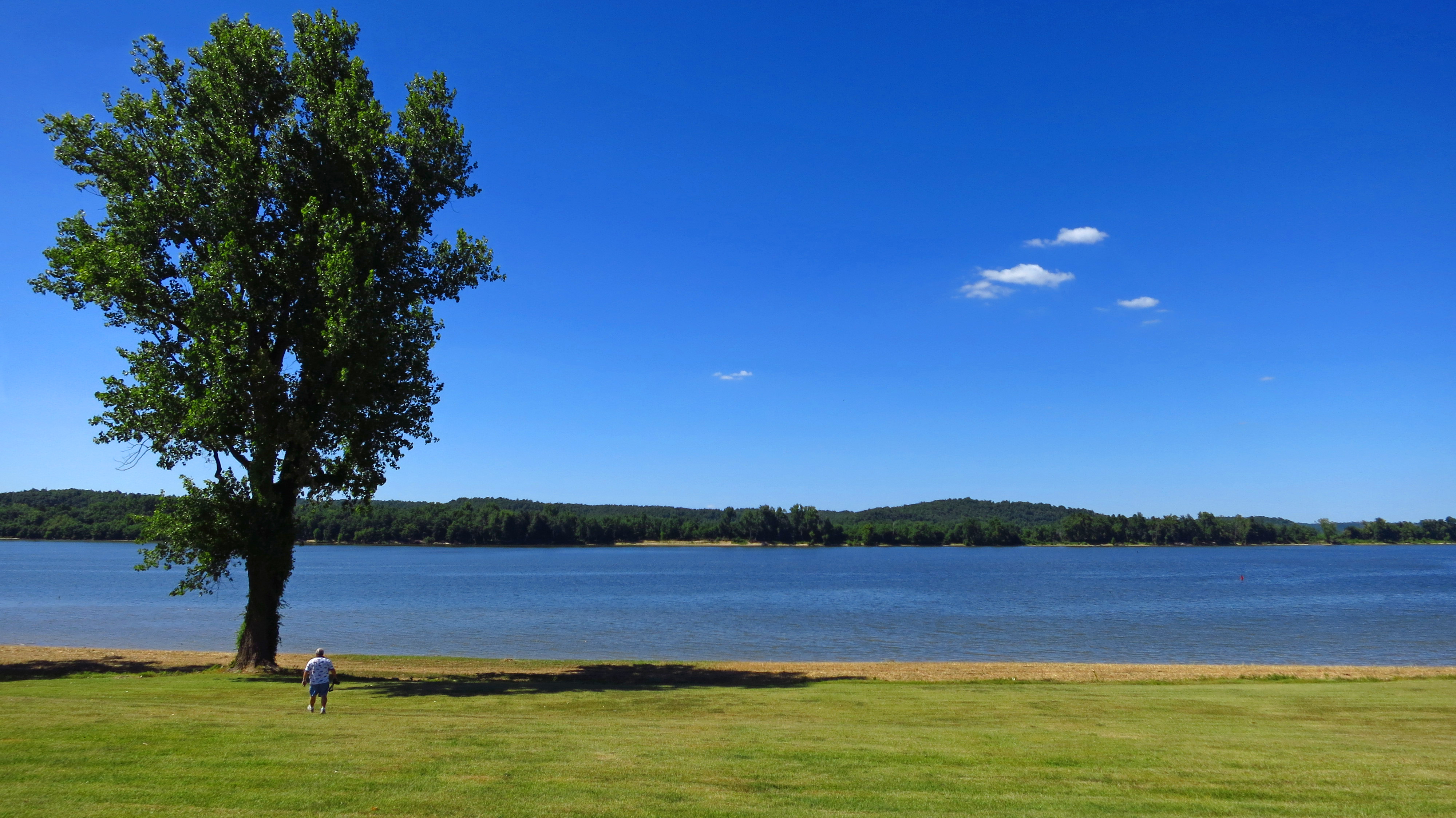
Lake Mauzy From The Shore

Feeding Slough

Where's Mom's Head?!?

Nice Geese Feeding In Slough
Topographic Map of S Main St, Sturgis, KY, USA
Find elevation by address:

Places near S Main St, Sturgis, KY, USA:
Sturgis
KY-, Morganfield, KY, USA
KY-, Morganfield, KY, USA
KY-, Morganfield, KY, USA
KY-, Morganfield, KY, USA
KY-, Morganfield, KY, USA
US-60, Morganfield, KY, USA
Union County
KY-, Wheatcroft, KY, USA
Wheatcroft
1875 Cotton Patch Rd
90 Cain Rd, Marion, KY, USA
Morganfield
US-60, Marion, KY, USA
Us Farm Services Agency
KY-56, Sturgis, KY, USA
Clay
KY-, Clay, KY, USA
7375 Ky-91
KY-, Marion, KY, USA
Recent Searches:
- Elevation of Corso Fratelli Cairoli, 35, Macerata MC, Italy
- Elevation of Tallevast Rd, Sarasota, FL, USA
- Elevation of 4th St E, Sonoma, CA, USA
- Elevation of Black Hollow Rd, Pennsdale, PA, USA
- Elevation of Oakland Ave, Williamsport, PA, USA
- Elevation of Pedrógão Grande, Portugal
- Elevation of Klee Dr, Martinsburg, WV, USA
- Elevation of Via Roma, Pieranica CR, Italy
- Elevation of Tavkvetili Mountain, Georgia
- Elevation of Hartfords Bluff Cir, Mt Pleasant, SC, USA