Elevation of S Main St, Franklin, NH, USA
Location: United States > New Hampshire > Merrimack County > Franklin >
Longitude: -71.654657
Latitude: 43.4075324
Elevation: 89m / 292feet
Barometric Pressure: 100KPa
Elevation Map:
Satellite Map:
Related Photos:
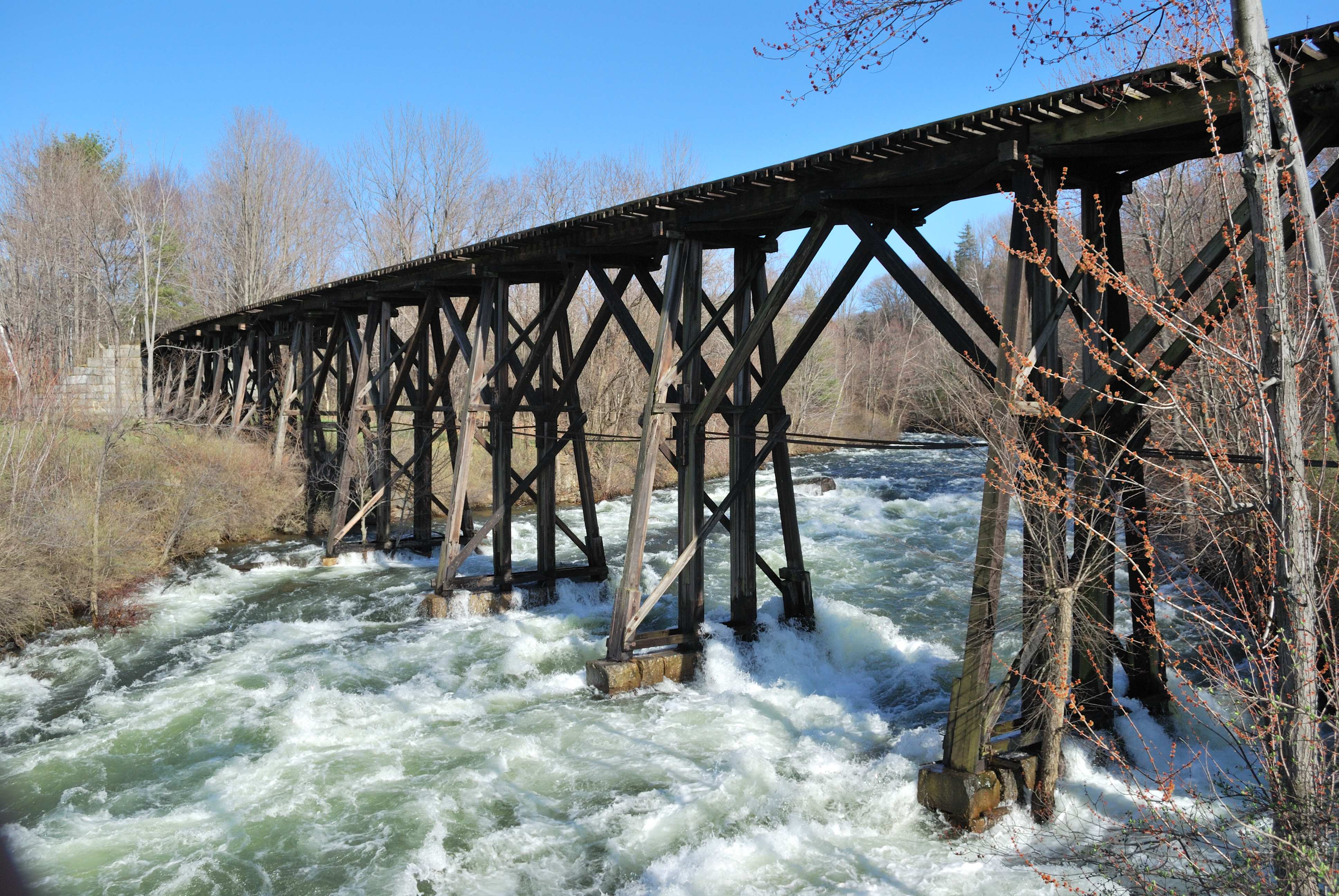
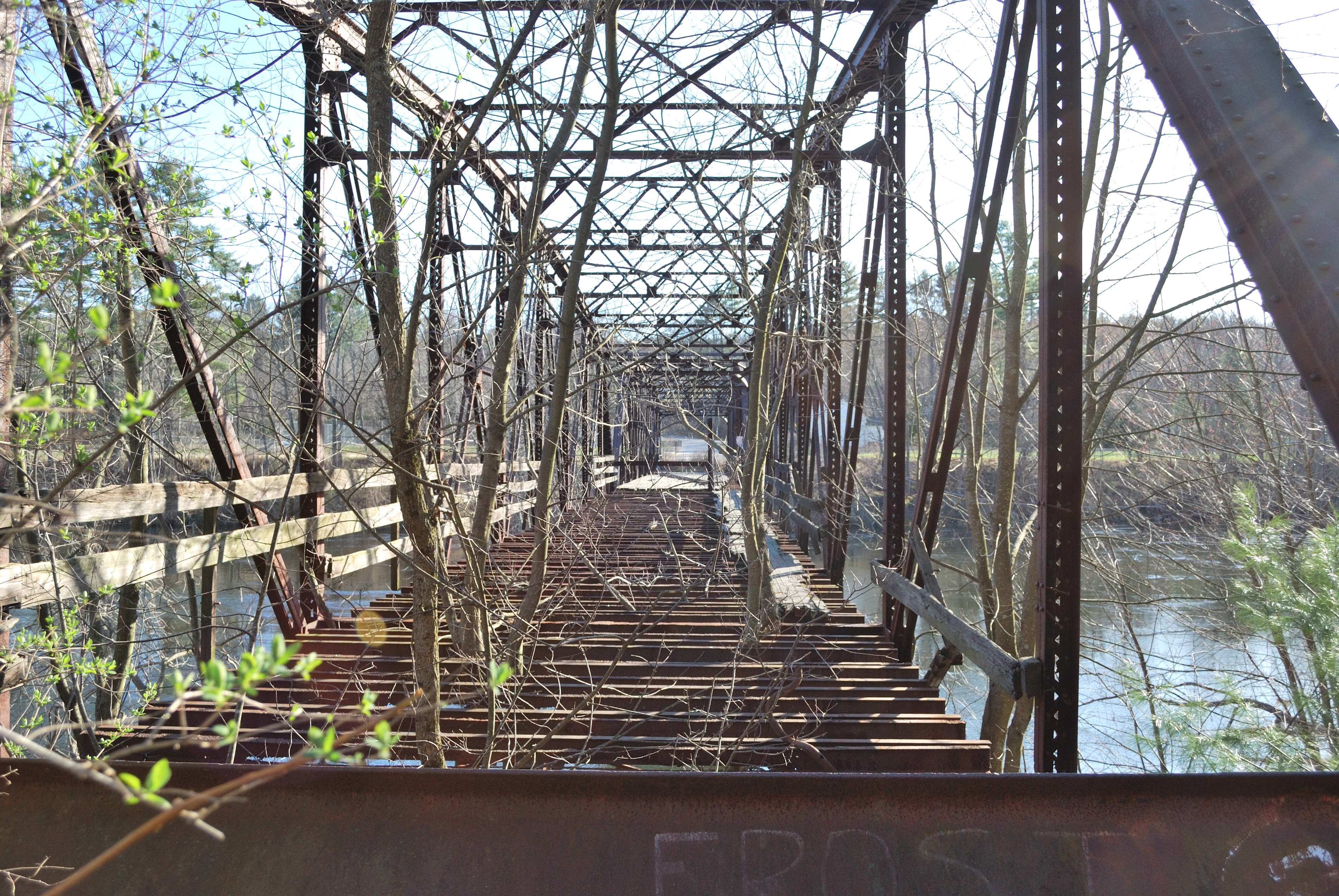
Railroad trestle in Franklin, NH

winter's here!
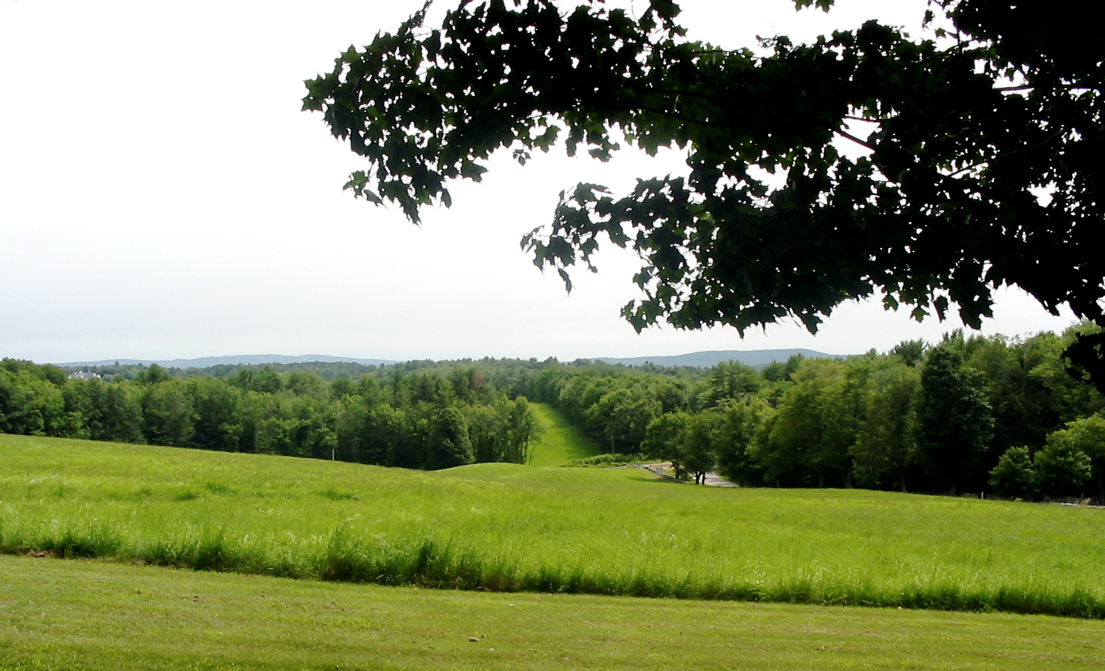
View from Shaker Village, Canterbury, NH

Crete's Farm/Highway View

Bobcat - Cropped Screen Shot

Snowman for the Deer

Osprey in the Eagle Tree
View from our front Window!

1970 Cruiser Crash

Highway View Farm - Boscawen

Bobcat - Right Profile

View from Boat Launch

1970 Cruiser Crash

Mount Kearsarge at sunset

Osprey - Crete's Farm

Eagle on a Hot Afternoon
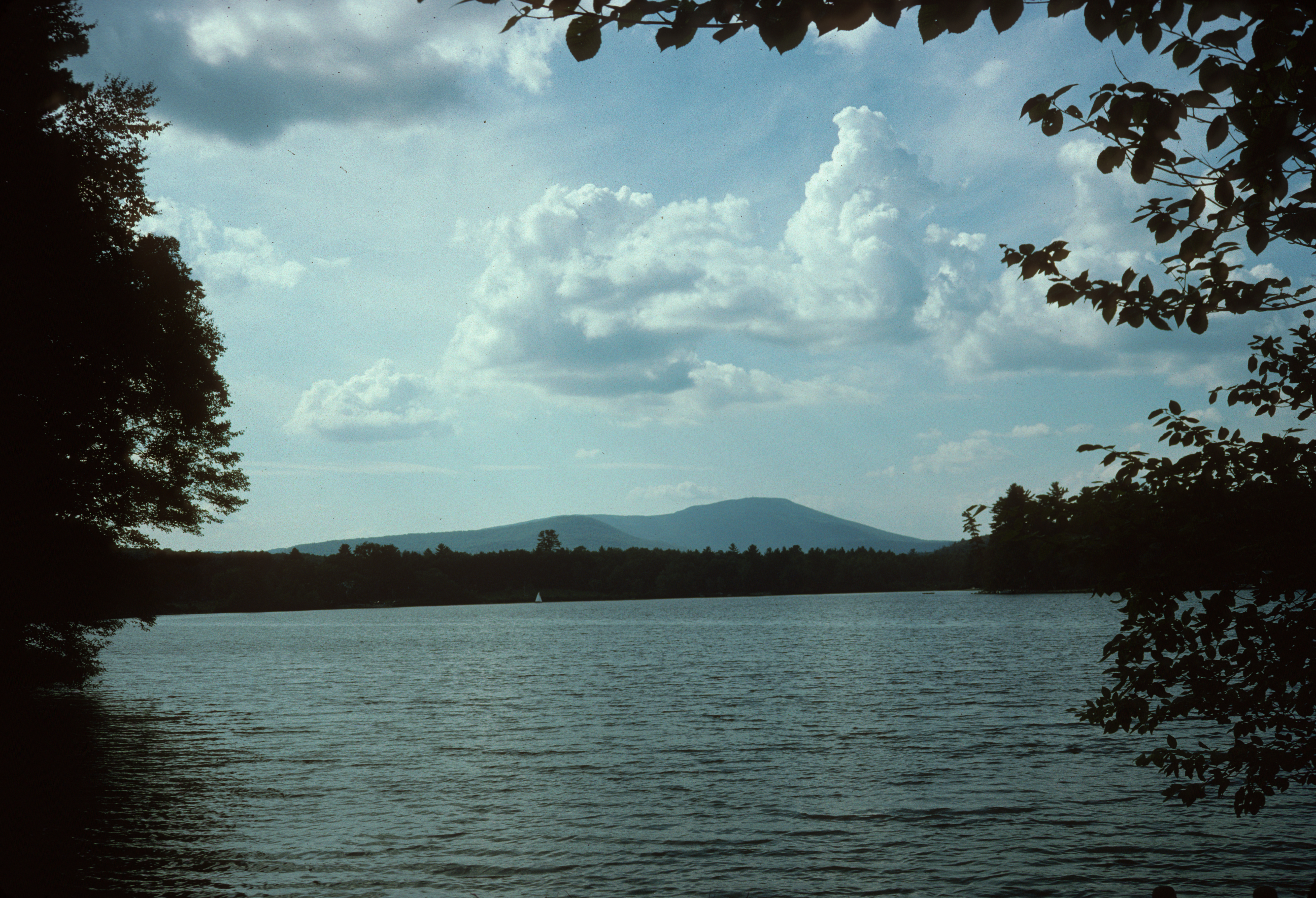
Mount Kearsarge from Lake Winnepocket
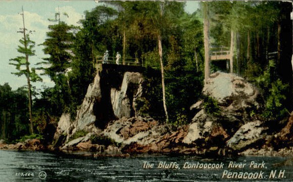
Postcard - Contoocook River Park, Penacook, NH
Duck Pond Lane
West Rd. bridge, between Canterbury & Boscawen NH
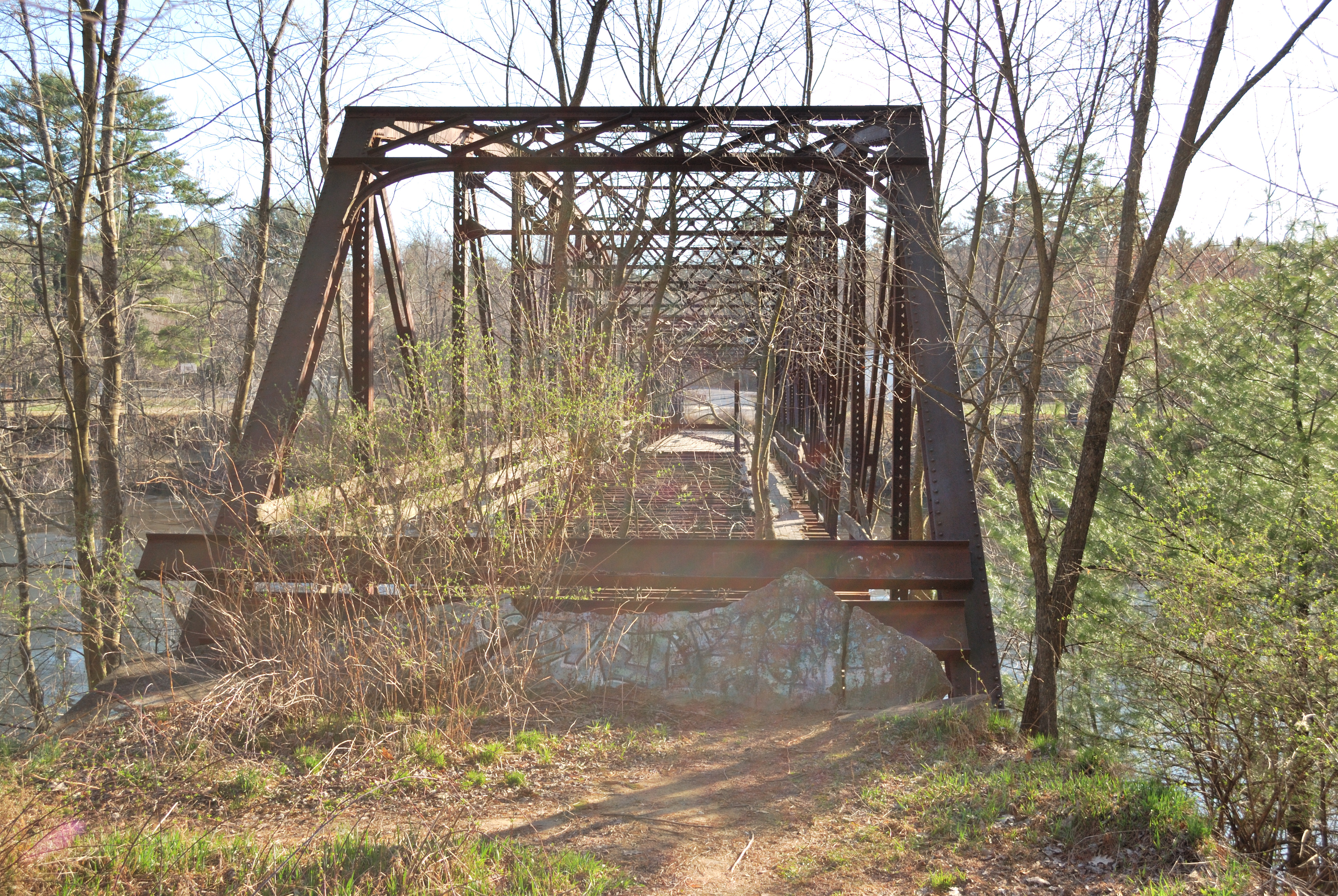
West Rd. bridge, between Canterbury & Boscawen NH

Misty Morning Crossing
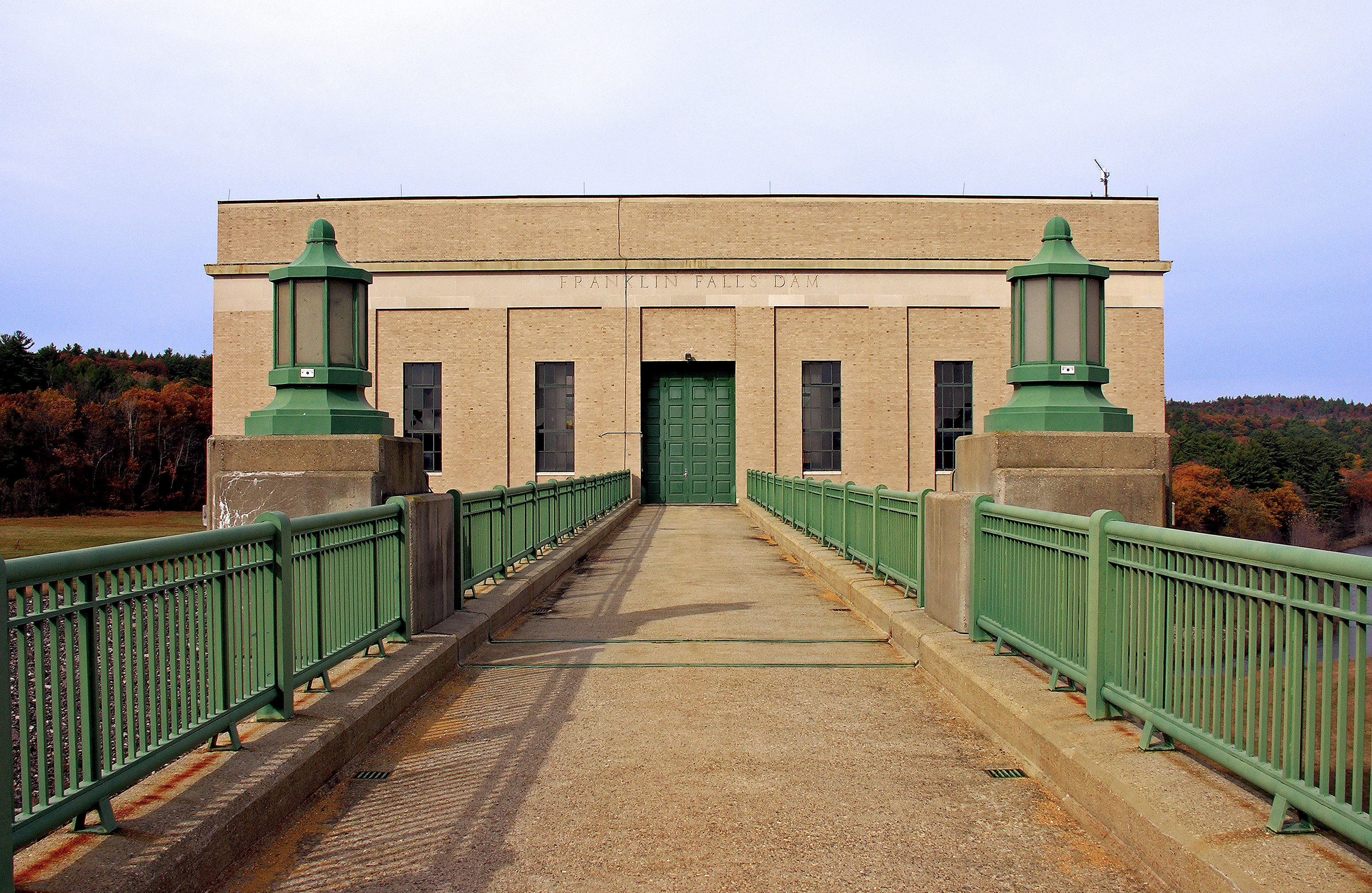
Franklin Falls Flood Control Dam gatehouse

20141007-IMG_1327
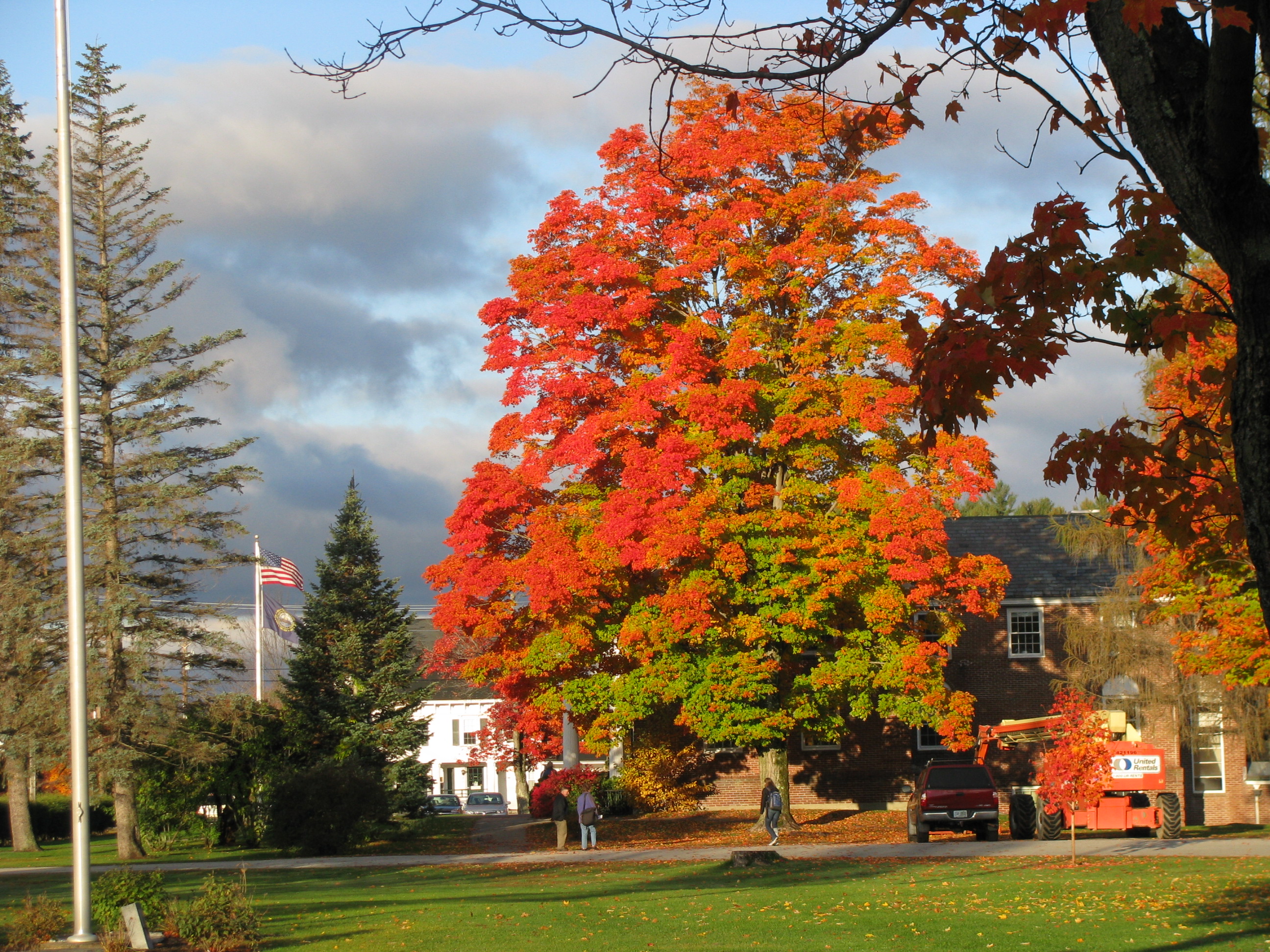
Fall in The Shire (Explore)

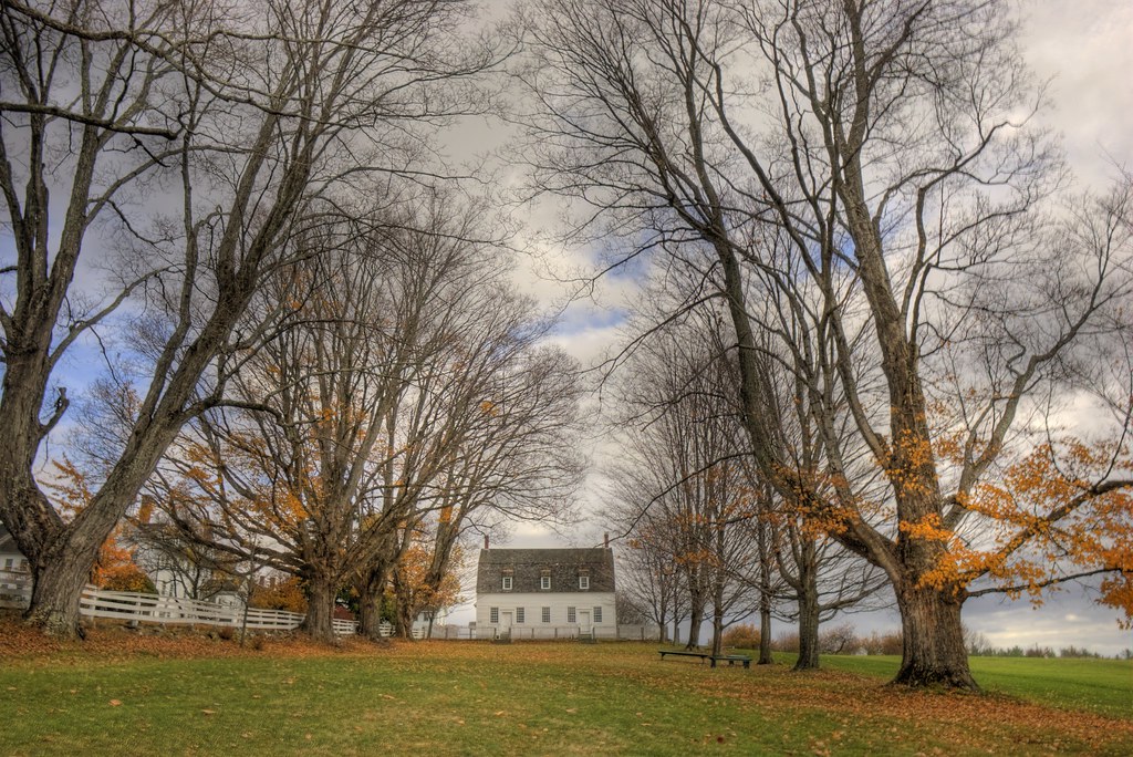
Shaker Village Farm House
Topographic Map of S Main St, Franklin, NH, USA
Find elevation by address:

Places near S Main St, Franklin, NH, USA:
95 Shaw Rd
379 Daniel Webster Hwy
Salisbury
Boscawen
1140 Pleasant St
Webster
Canterbury
35 Baptist Rd
Merrimack County
Webster Lane
60 New London Dr
20 Elm St
2 Whitney Rd
567 Tyler Rd
21 Cross St
3 Brookwood Dr
293 Tyler Rd
11 Freedom Acres Dr
Blackwater River
20 Tallant Rd
Recent Searches:
- Elevation of Corso Fratelli Cairoli, 35, Macerata MC, Italy
- Elevation of Tallevast Rd, Sarasota, FL, USA
- Elevation of 4th St E, Sonoma, CA, USA
- Elevation of Black Hollow Rd, Pennsdale, PA, USA
- Elevation of Oakland Ave, Williamsport, PA, USA
- Elevation of Pedrógão Grande, Portugal
- Elevation of Klee Dr, Martinsburg, WV, USA
- Elevation of Via Roma, Pieranica CR, Italy
- Elevation of Tavkvetili Mountain, Georgia
- Elevation of Hartfords Bluff Cir, Mt Pleasant, SC, USA