Elevation of SÄM 1, 95 Ljung, Sweden
Location: Sweden > Västra Götaland County > Herrljunga Ö >
Longitude: 13.1610221
Latitude: 57.995458
Elevation: 197m / 646feet
Barometric Pressure: 99KPa
Elevation Map:
Satellite Map:
Related Photos:
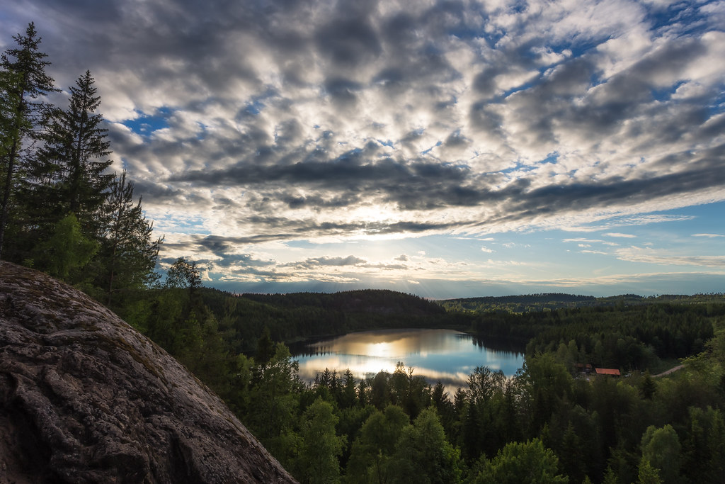
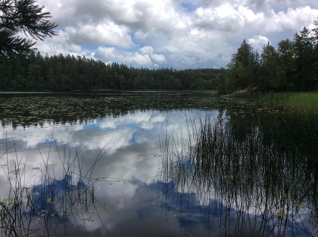
Lake View
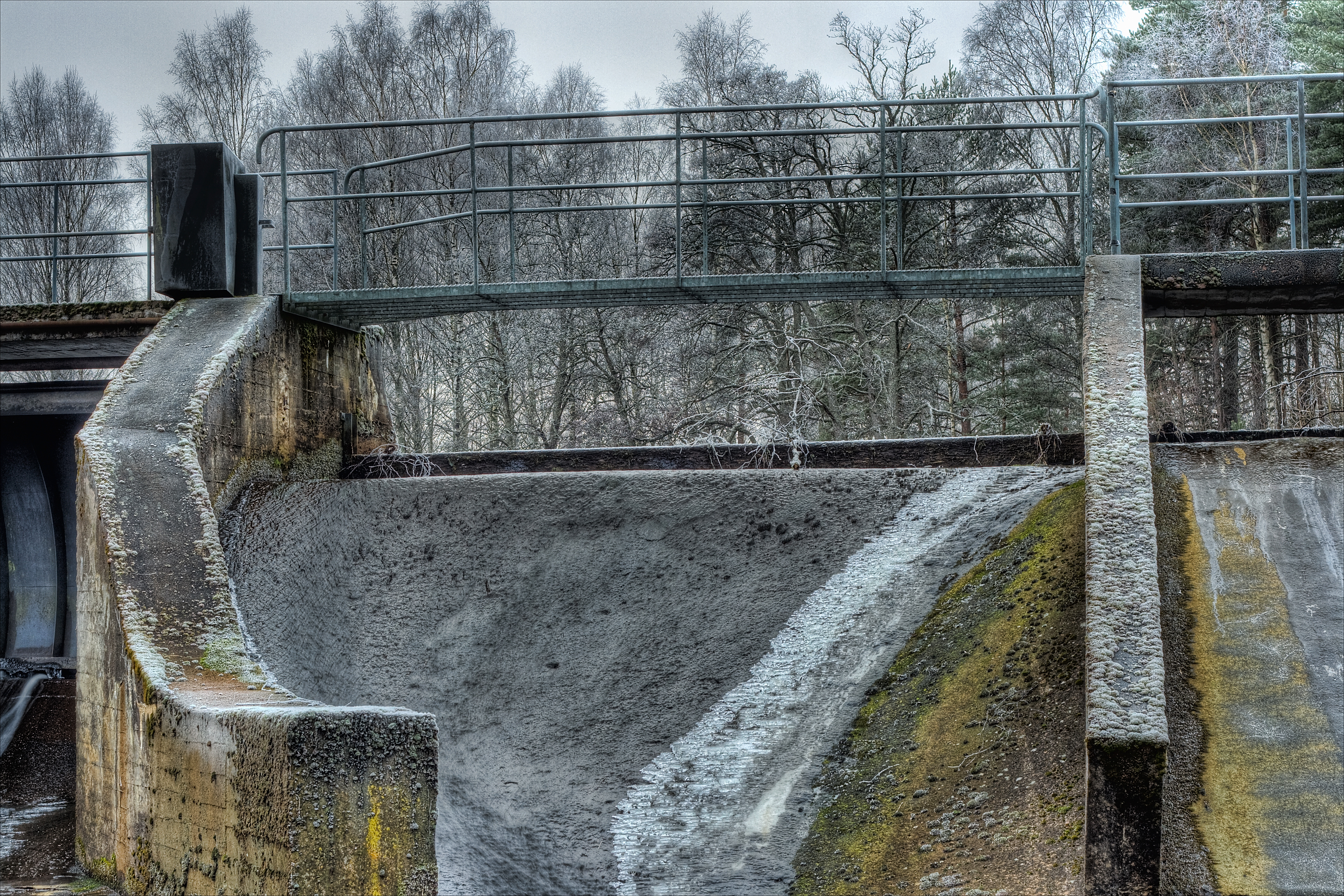
The Dam
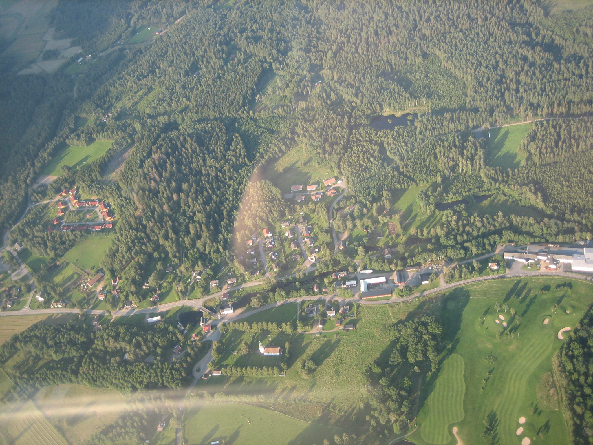
Sweden_Hudene-2007-08
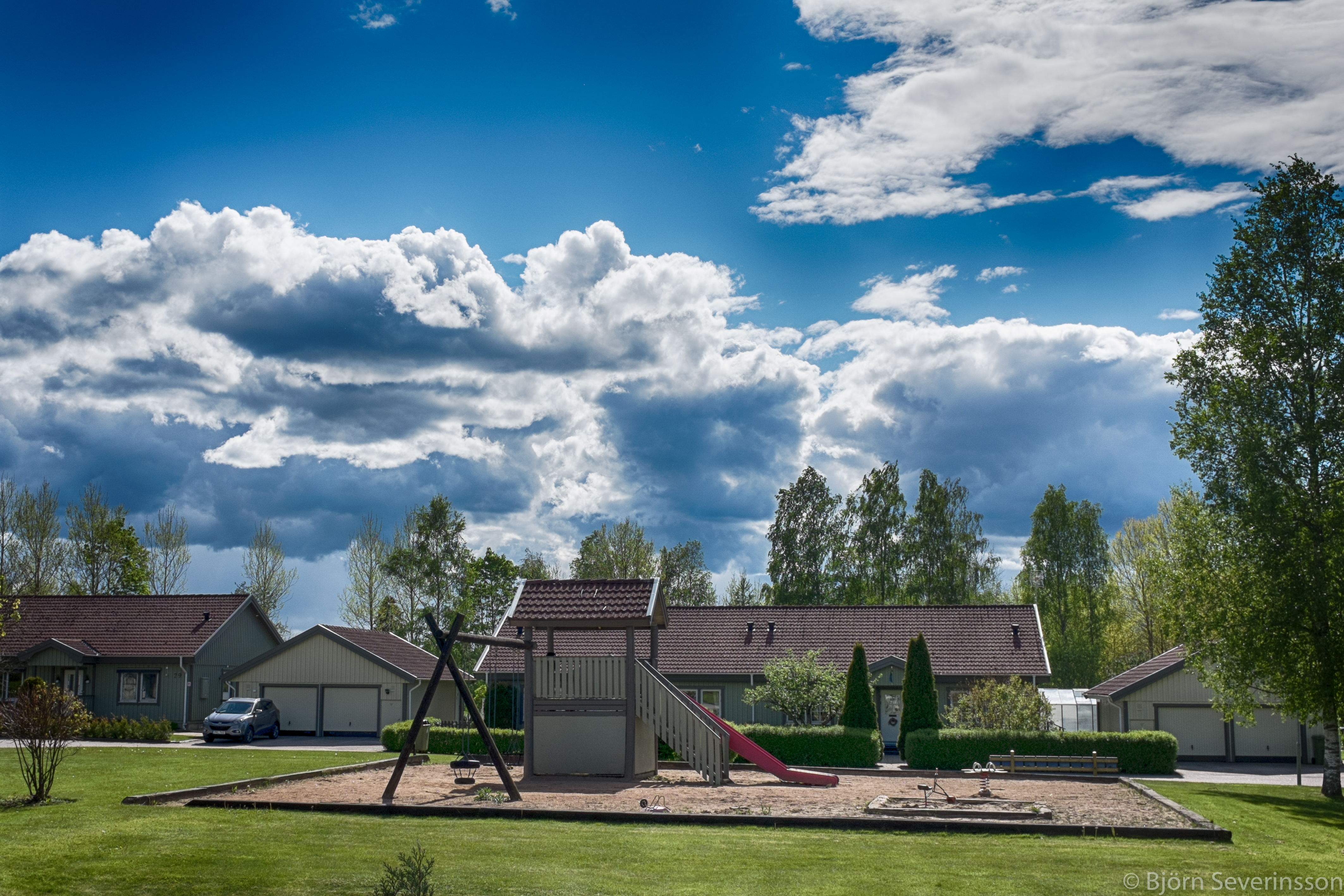
View from kitchen

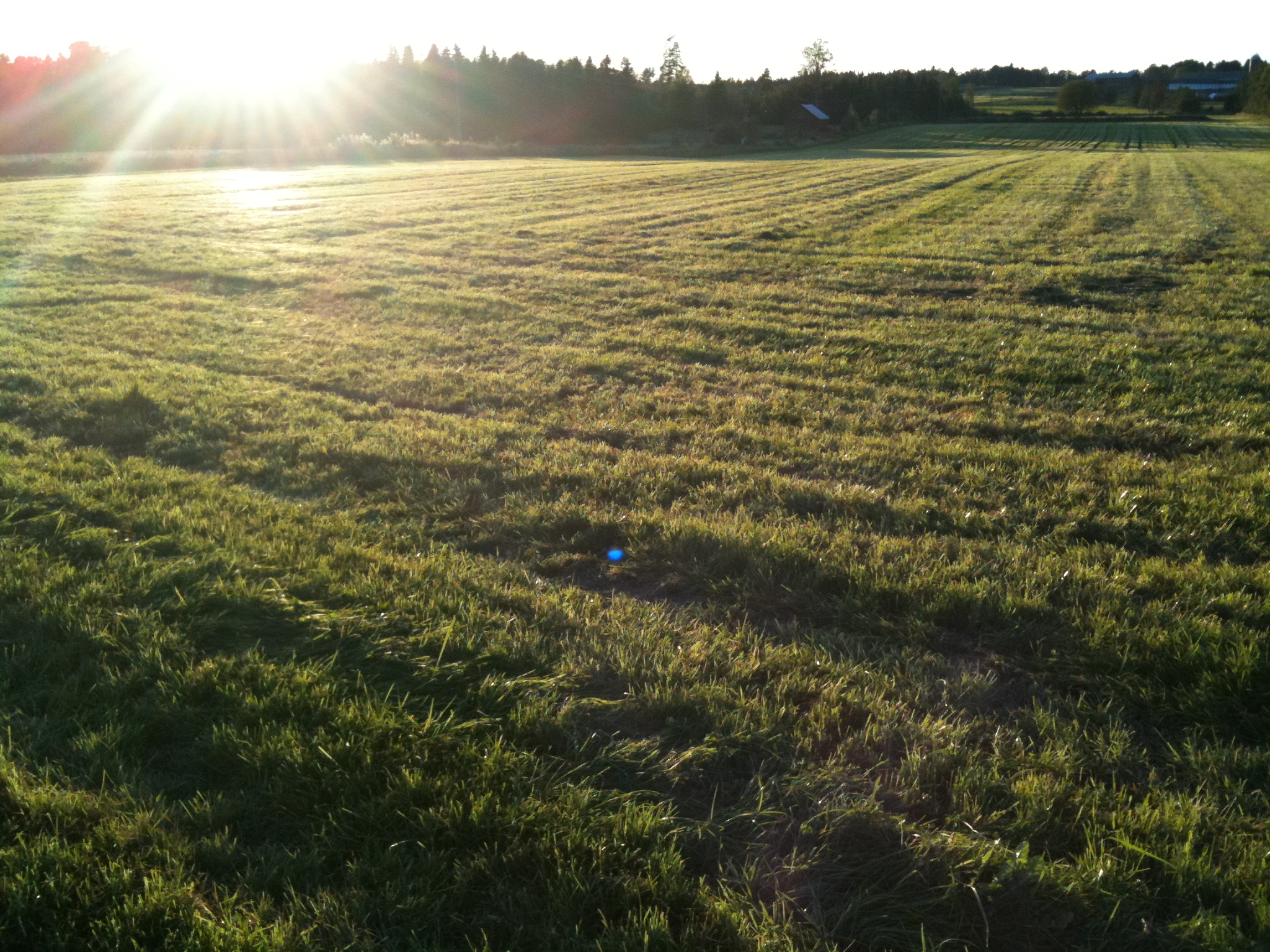
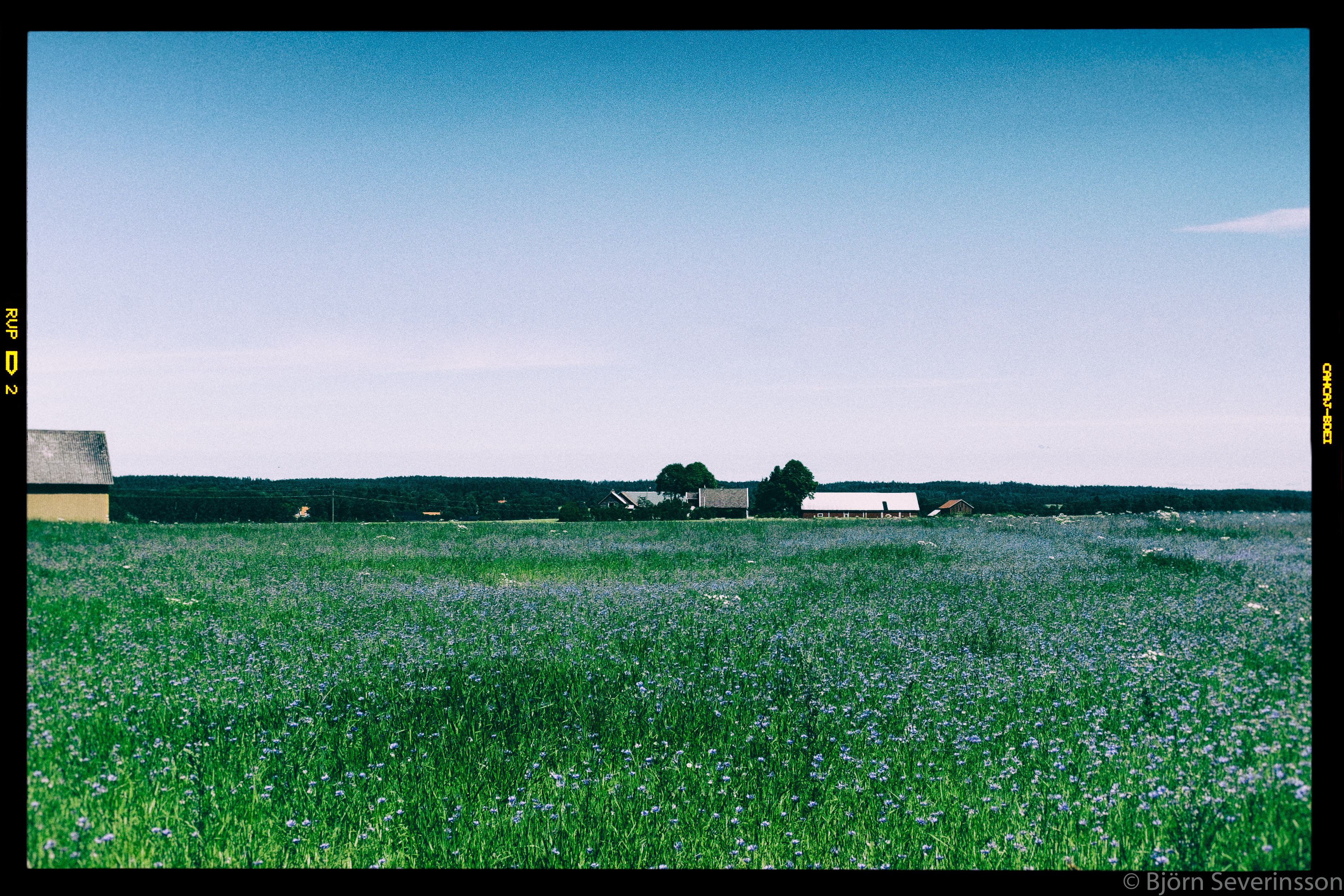
Wheat.

Autumn field
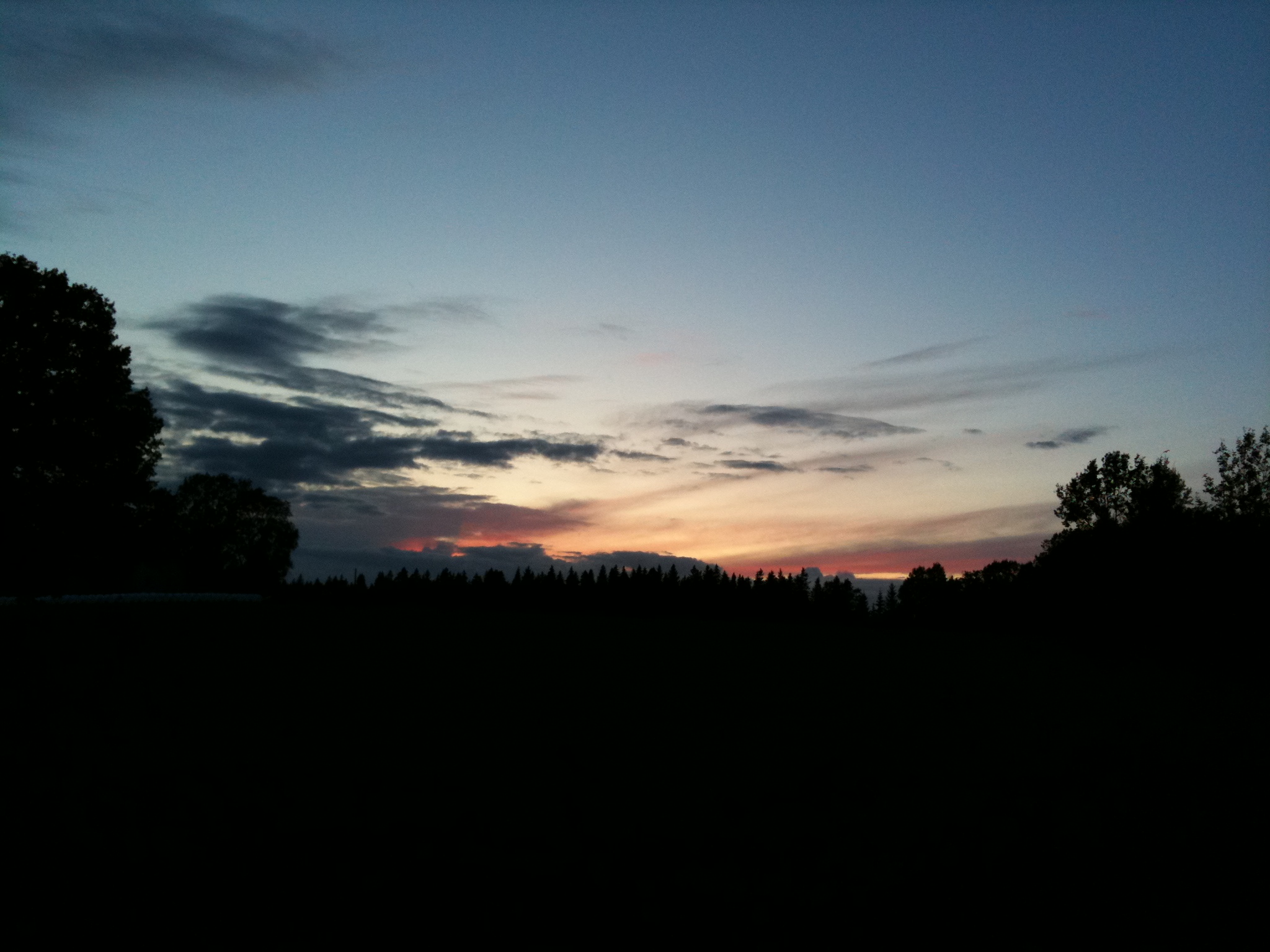
Vesene evening
Autumn field

Dagens foto. Solsken över #Sämsjön i #Annelund. #Västergötland.

20050912 Grass in which to sneak & lurk | Västergötland, Sweden
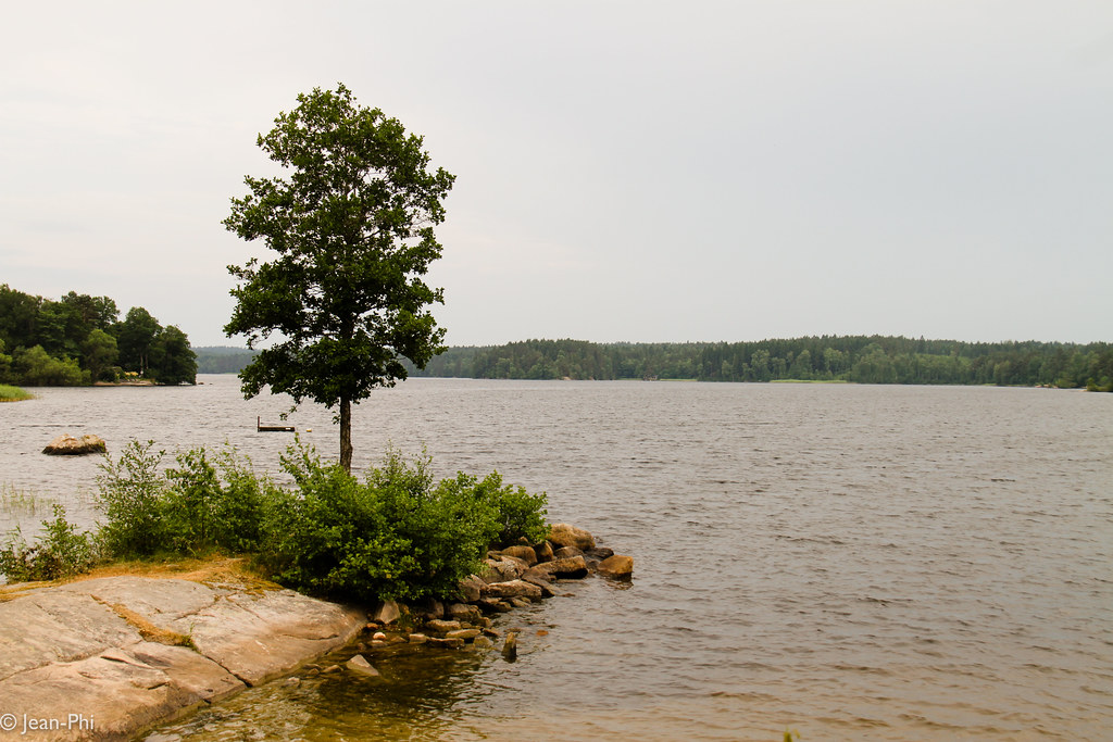
Sämsjön

Lycopodium tristachyum
IMG_8230.jpg
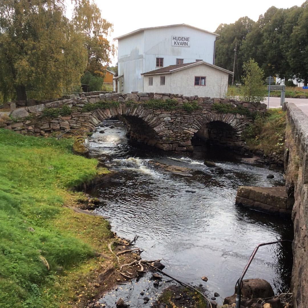
Dagens foto. Den gamla #stenbron över #Nossan i #Hudene. #Västergötland.

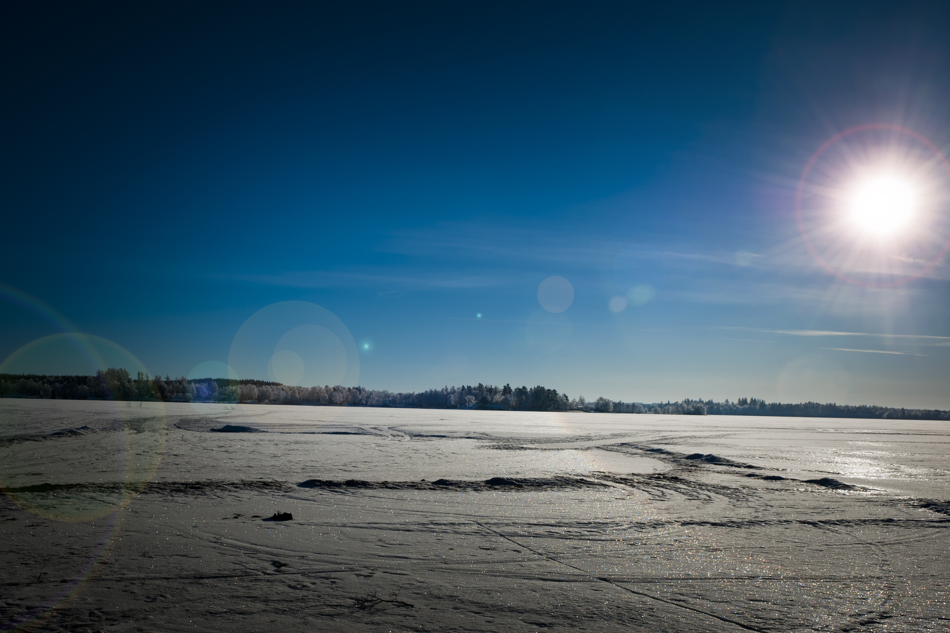
Höst i Herrljunga med omnejd
Swedish countryside
Dagens foto. Ömsom sol, ömsom regn.
Topographic Map of SÄM 1, 95 Ljung, Sweden
Find elevation by address:

Places near SÄM 1, 95 Ljung, Sweden:
Herrljunga Ö
Källeryd Tallheden 1, 93 Herrljunga, Sweden
Björnarp Ågården 1, 93 Herrljunga, Sweden
Hällestad
Herrljunga
Hällestad 1, 56 Floby, Sweden
Borås No
Norra HÖga
Trävattna
Salaholms SÄteri
Vedebacken
Vara S
Larv Sjötorp 2, 61 Vedum, Sweden
Herrljunga N
Södra Lundby
Åsbovägen 3, 34 Fristad, Sweden
LÅra Kvarn
Falköping V
Landa Stora 3, 91 Vårgårda, Sweden
Tråvad
Recent Searches:
- Elevation of Corso Fratelli Cairoli, 35, Macerata MC, Italy
- Elevation of Tallevast Rd, Sarasota, FL, USA
- Elevation of 4th St E, Sonoma, CA, USA
- Elevation of Black Hollow Rd, Pennsdale, PA, USA
- Elevation of Oakland Ave, Williamsport, PA, USA
- Elevation of Pedrógão Grande, Portugal
- Elevation of Klee Dr, Martinsburg, WV, USA
- Elevation of Via Roma, Pieranica CR, Italy
- Elevation of Tavkvetili Mountain, Georgia
- Elevation of Hartfords Bluff Cir, Mt Pleasant, SC, USA