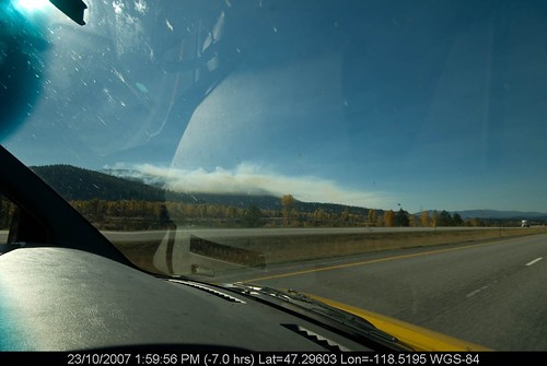
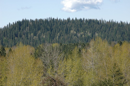
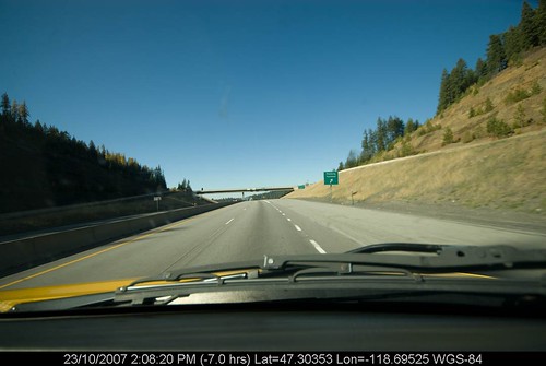
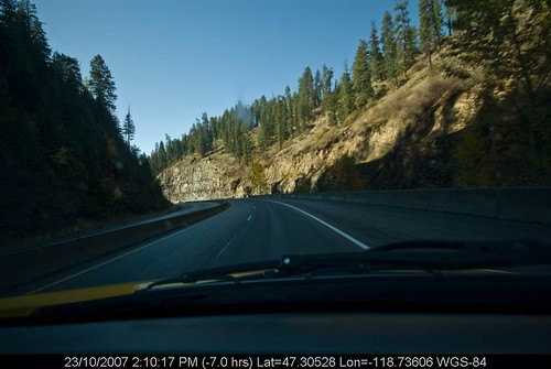
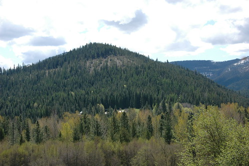
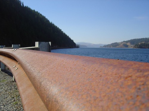
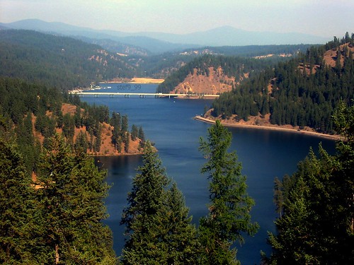
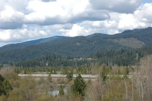
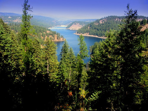
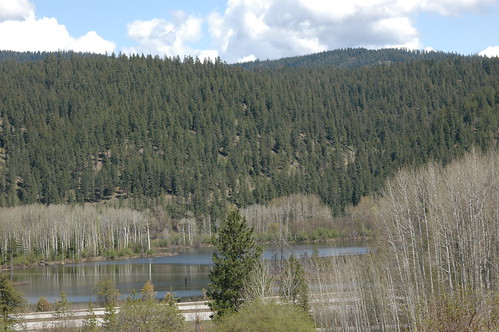
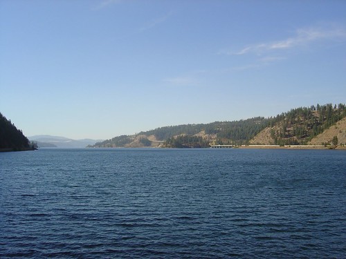
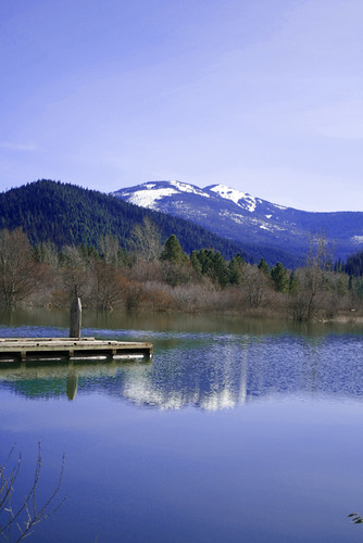
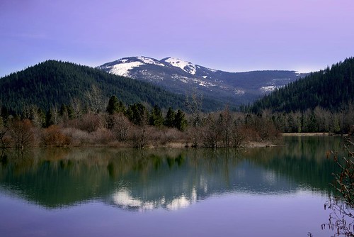
Elevation of S Lane Rd, Cataldo, ID, USA
Location: United States > Idaho > Kootenai County >
Longitude: -116.535885
Latitude: 47.506844
Elevation: 660m / 2165feet
Barometric Pressure: 0KPa
Related Photos:
Topographic Map of S Lane Rd, Cataldo, ID, USA
Find elevation by address:

Places near S Lane Rd, Cataldo, ID, USA:
East King Street
S River Rd, Cataldo, ID, USA
26363 S Lake Ridge Rd
Rose Lake Restaurant
E Dudley Rd, Cataldo, ID, USA
10783 S Fern Creek Rd
13887 E Rosewood Rd
14213 S Tamarack Ridge Rd
27607 S Jakes Dr
344 Abbey Rd
E Schoolhouse Loop, Cataldo, ID, USA
29176 Soloa Rd
S Wolf Lodge Creek Rd, Coeur d'Alene, ID, USA
650 Ridgeview Dr
St. Maries High School
75 Ella Rd, St Maries, ID, USA
Jim's Auto & Tire Pros
Saint Maries
515 S 7th St
55 Christmas Hills Rd
Recent Searches:
- Elevation map of Greenland, Greenland
- Elevation of Sullivan Hill, New York, New York, 10002, USA
- Elevation of Morehead Road, Withrow Downs, Charlotte, Mecklenburg County, North Carolina, 28262, USA
- Elevation of 2800, Morehead Road, Withrow Downs, Charlotte, Mecklenburg County, North Carolina, 28262, USA
- Elevation of Yangbi Yi Autonomous County, Yunnan, China
- Elevation of Pingpo, Yangbi Yi Autonomous County, Yunnan, China
- Elevation of Mount Malong, Pingpo, Yangbi Yi Autonomous County, Yunnan, China
- Elevation map of Yongping County, Yunnan, China
- Elevation of North 8th Street, Palatka, Putnam County, Florida, 32177, USA
- Elevation of 107, Big Apple Road, East Palatka, Putnam County, Florida, 32131, USA
- Elevation of Jiezi, Chongzhou City, Sichuan, China
- Elevation of Chongzhou City, Sichuan, China
- Elevation of Huaiyuan, Chongzhou City, Sichuan, China
- Elevation of Qingxia, Chengdu, Sichuan, China
- Elevation of Corso Fratelli Cairoli, 35, Macerata MC, Italy
- Elevation of Tallevast Rd, Sarasota, FL, USA
- Elevation of 4th St E, Sonoma, CA, USA
- Elevation of Black Hollow Rd, Pennsdale, PA, USA
- Elevation of Oakland Ave, Williamsport, PA, USA
- Elevation of Pedrógão Grande, Portugal
