Elevation of S Island Hwy, Campbell River, BC V9H 1G9, Canada
Location: Canada > British Columbia > Strathcona >
Longitude: -125.18583
Latitude: 49.9203418
Elevation: 6m / 20feet
Barometric Pressure: 101KPa
Elevation Map:
Satellite Map:
Related Photos:

Grummie build start

Grumman cabinet construction
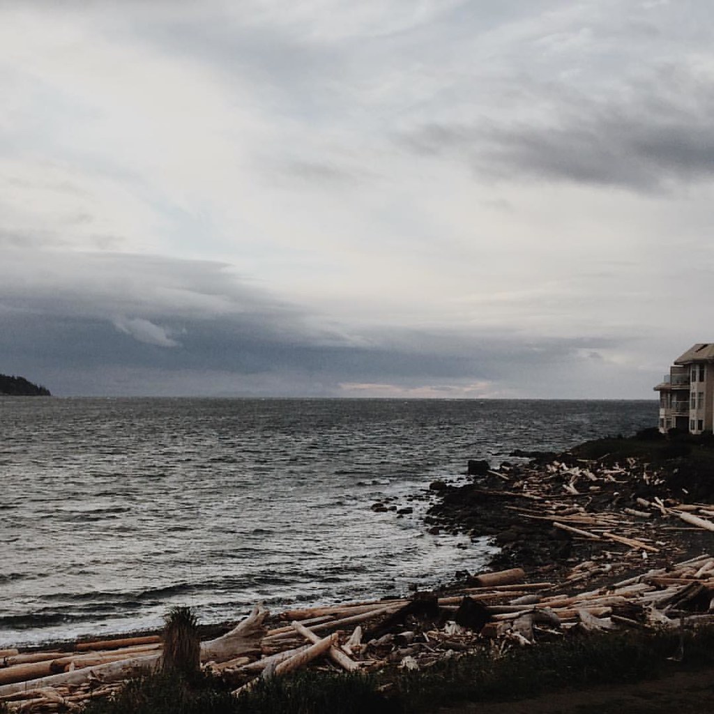
Good morning! Today's view with my morning coffee. There's something calming about gazing out at the sea that is unparalleled. #explore #explorebc #explorecanada #landscape #landscapelovers #landscape_lovers #landscape_captures #getoutside #goplayoutsid

with apologies to william shakespeare
A beautiful spot! HBM
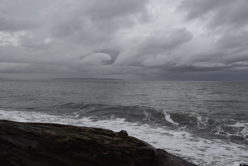
The view today
Blindman's Bluff Trail, Quadra Island, view of Vancouver Island mountains
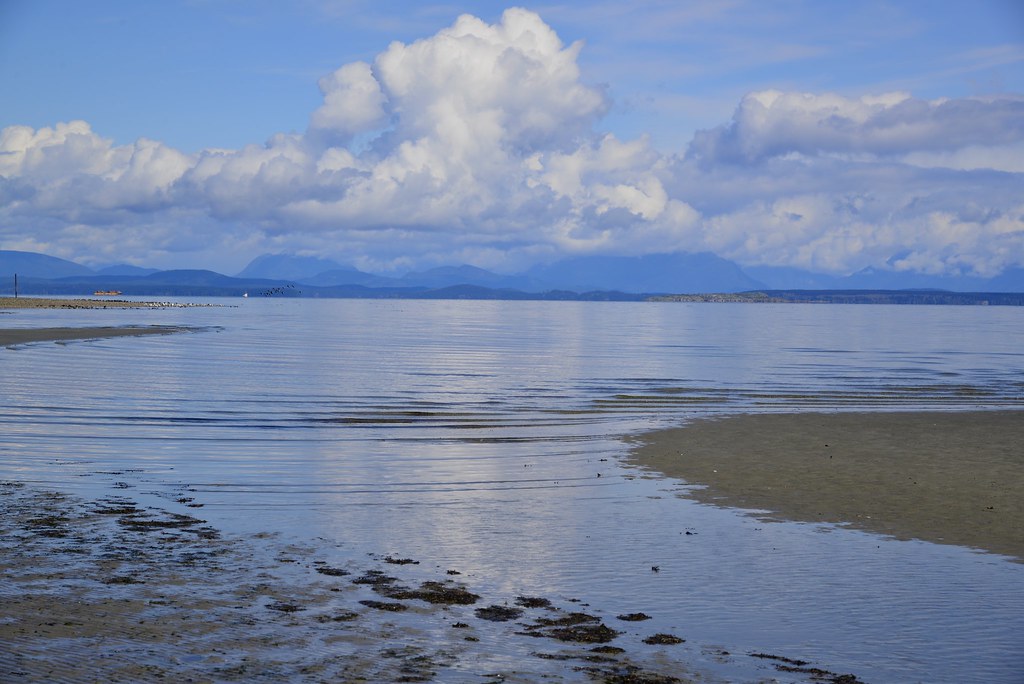
Our view
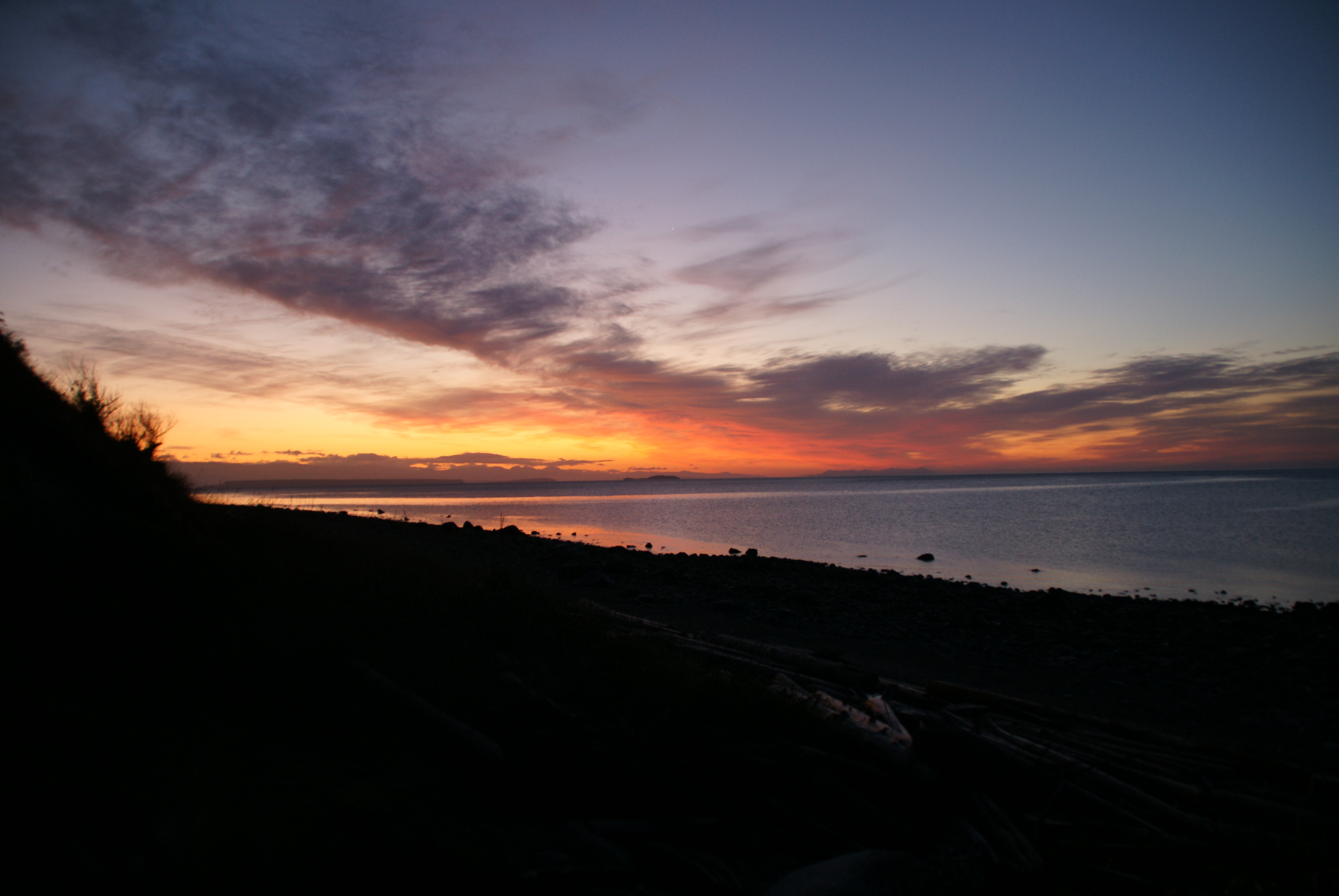
a beautiful sunrise view
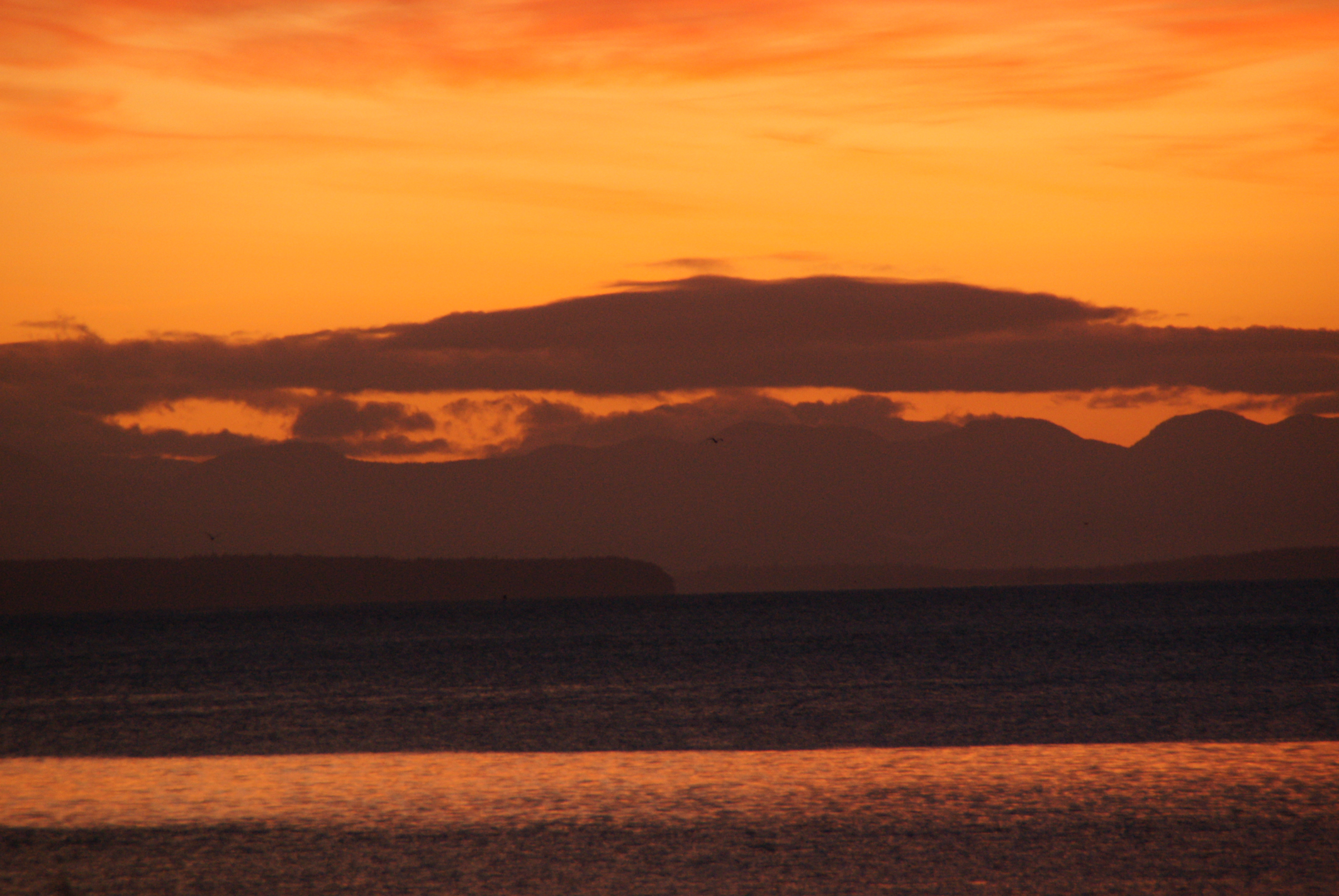
grand view of sunrise
Enjoying a typical West Coast Saturday...

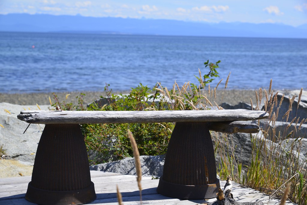
Have a seat and enjoy the view, HBM
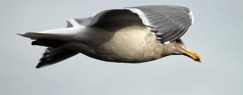
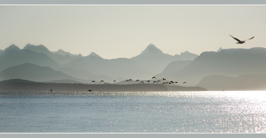
Soaring Gull

Joyce on Canyon View Bridge
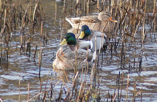
Mallards hiding out
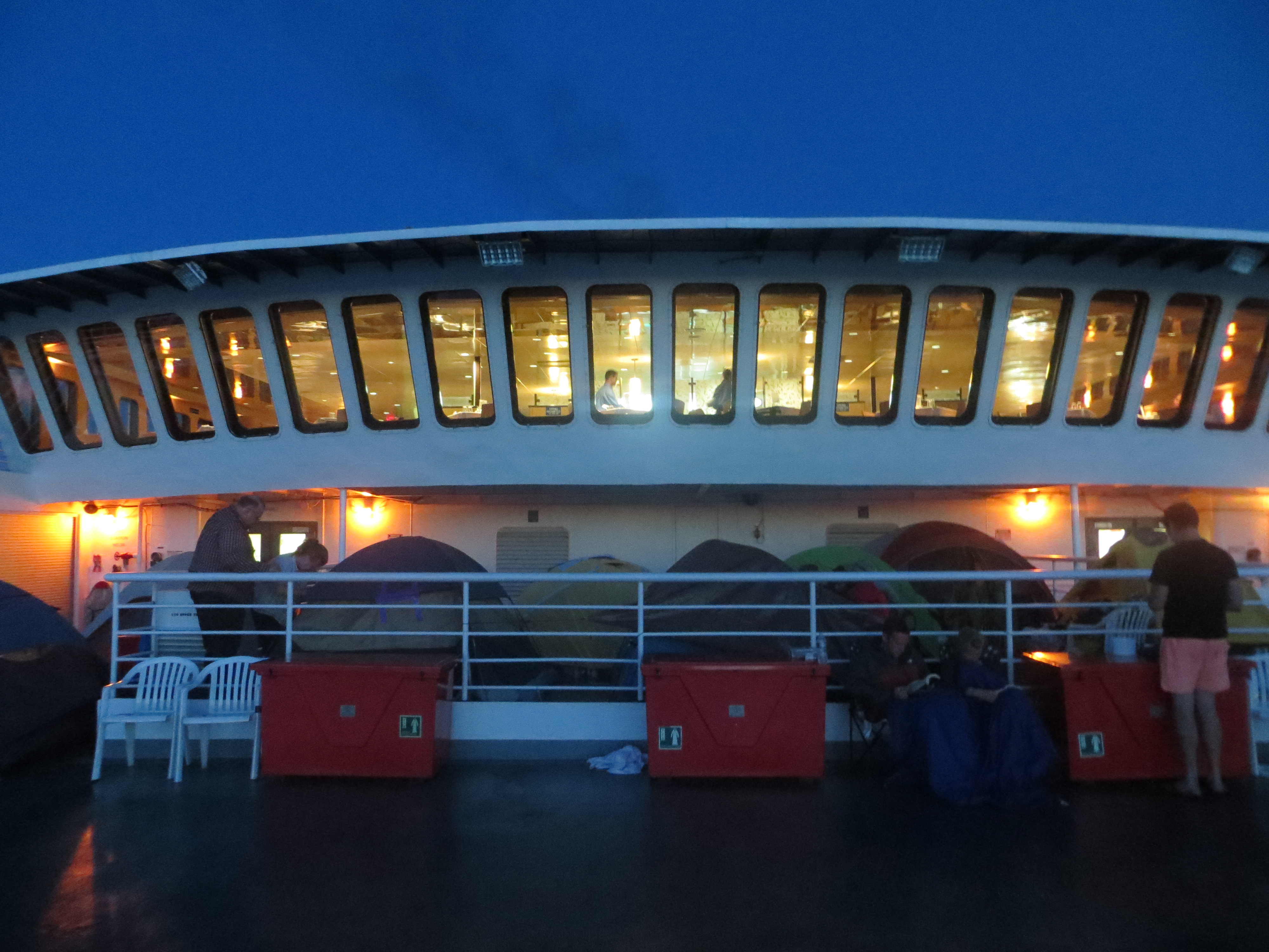
View of dining room with tents camped out underneath it

Salmon Point Pub

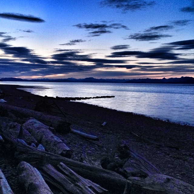
Stories Beach Sunsets
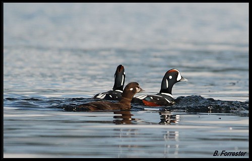
Harlequin Ducks
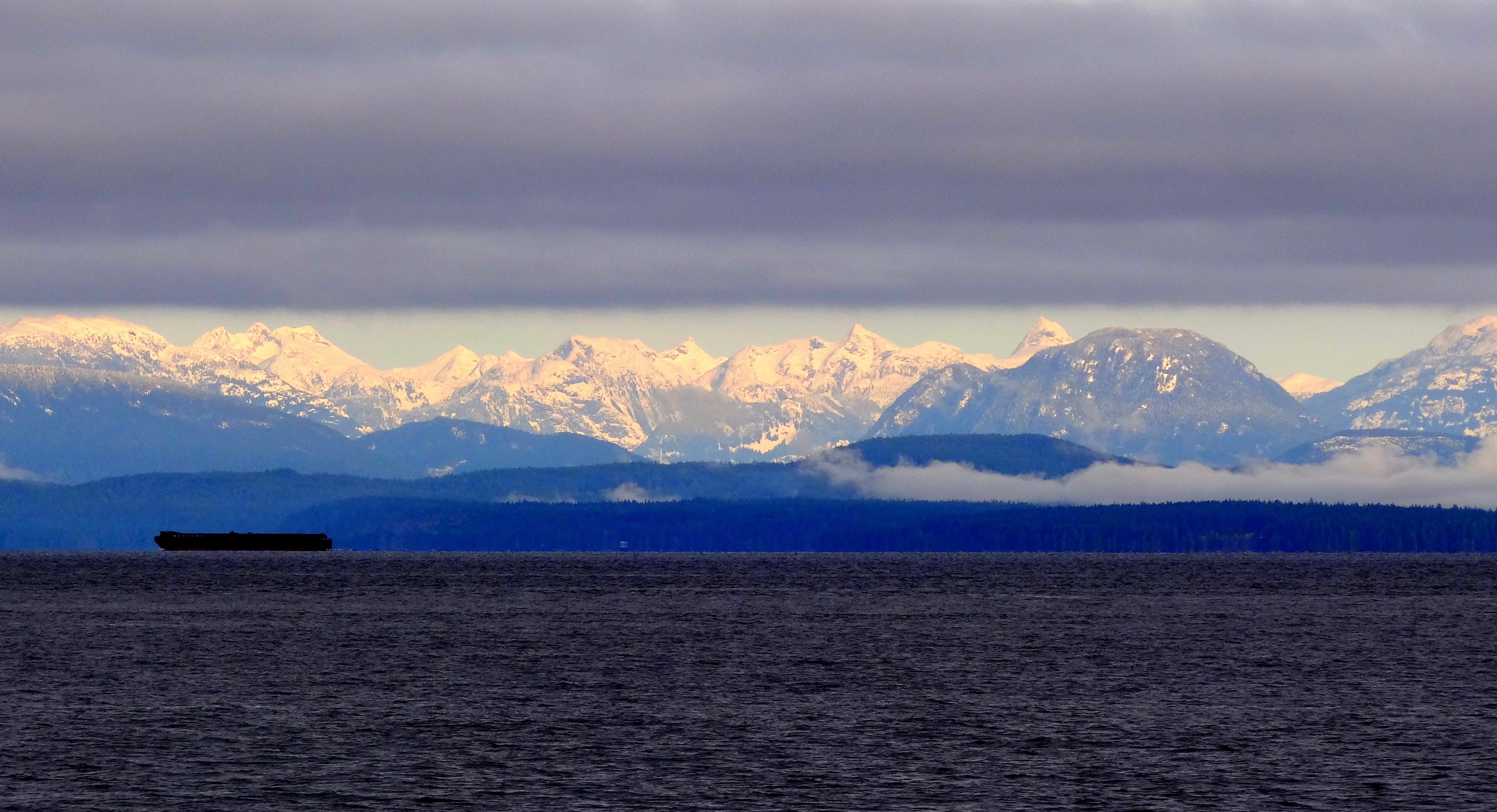
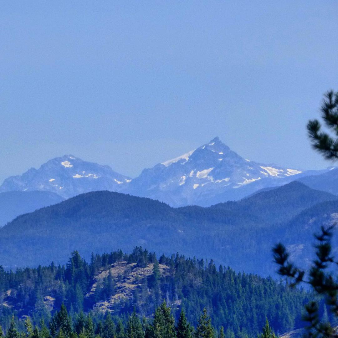
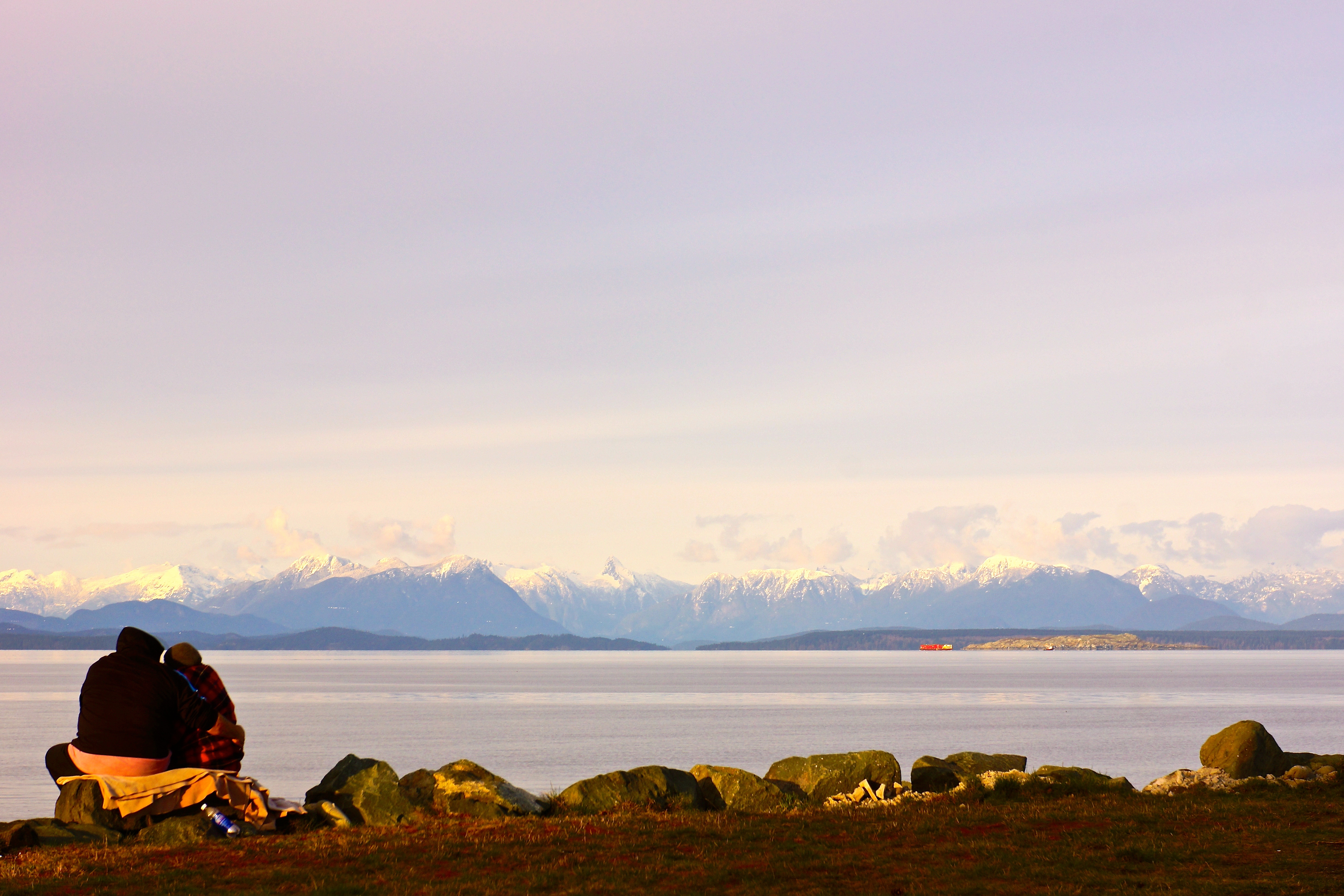
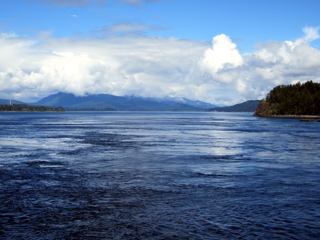
Mainland Mountains
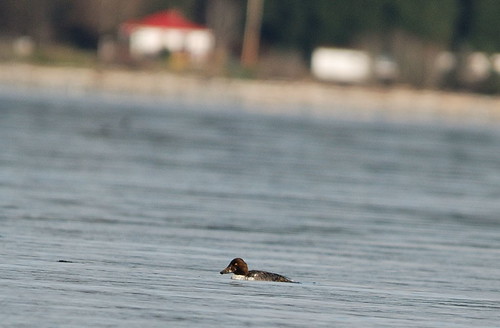
Finially put it's head up!
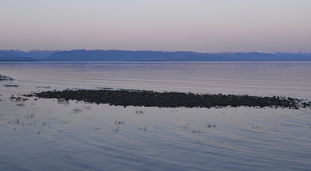
Sunrise, Oyster Bay, BC
Across to the Mountains
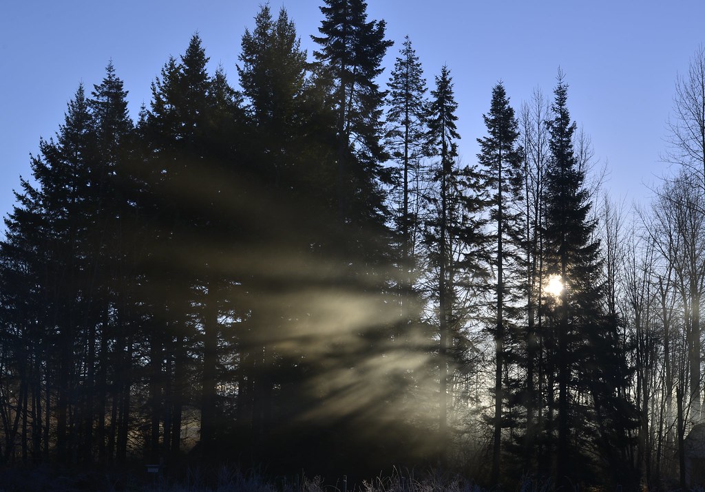
Misty morning
Oyster River
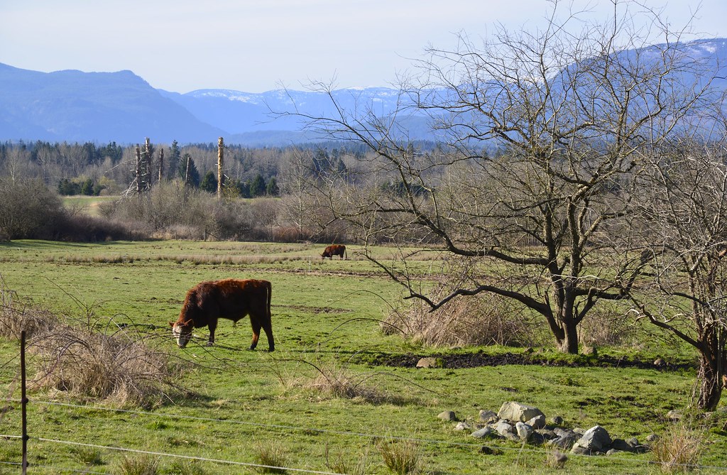
Backroads, near Campbell River/Black Creek
Woodhus Slough
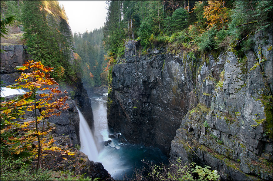
Fall at Elk Falls

Summer Catch
"Sometimes a moment becomes a memory the instant it is happening, because it is so true, so pure and so significant, you want to capture it forever."
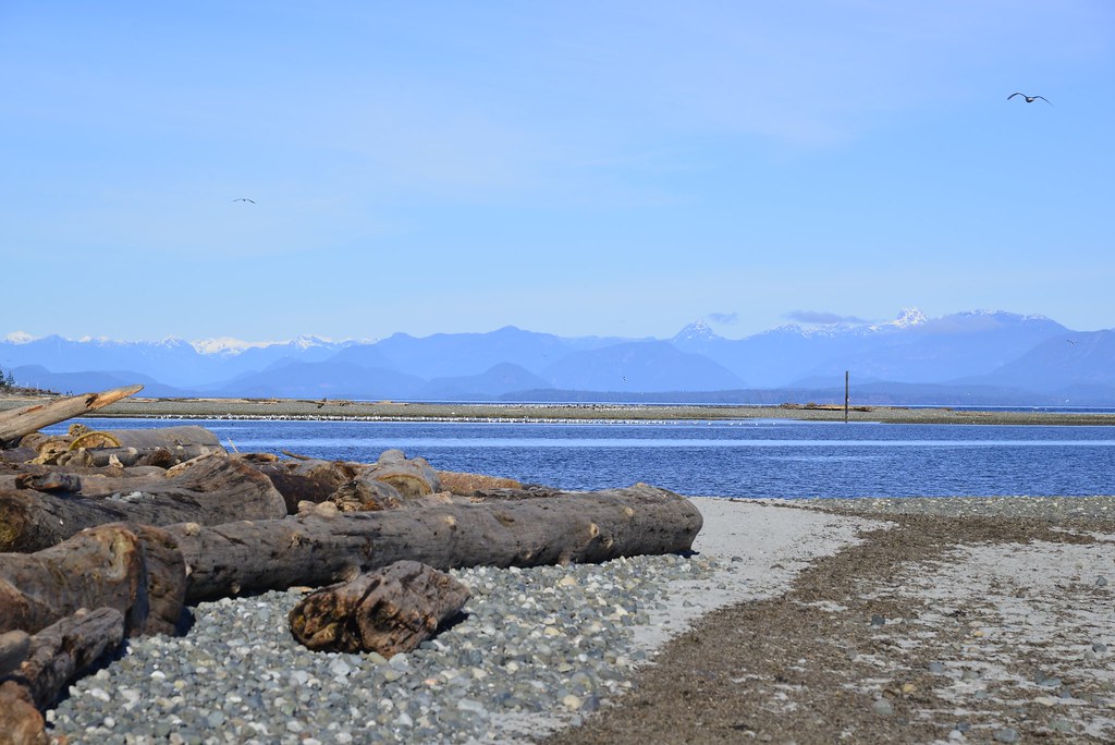
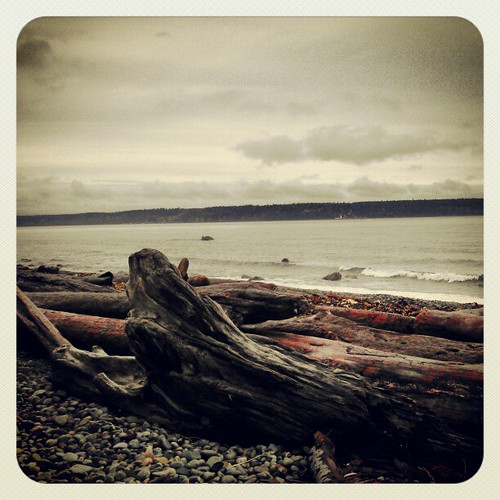
Saratoga Beach, BC

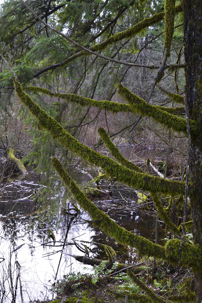
If moss could talk, Black Creek, BC
Foggy start, Oyster River, Black Creek, BC
As seen on the highway going into Courtenay
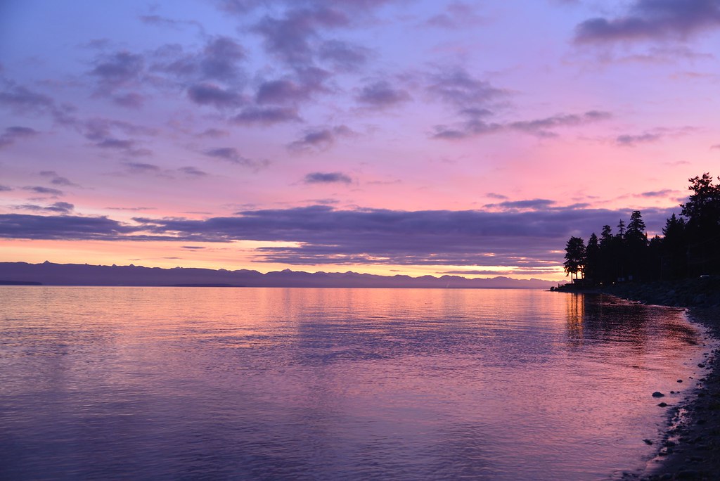
Sunset, Saratoga Beach, BC

At lake Horne caves park. #geology...
Discovery Channel
#project365 #day150 #2014 #sunset on #miracle #beach

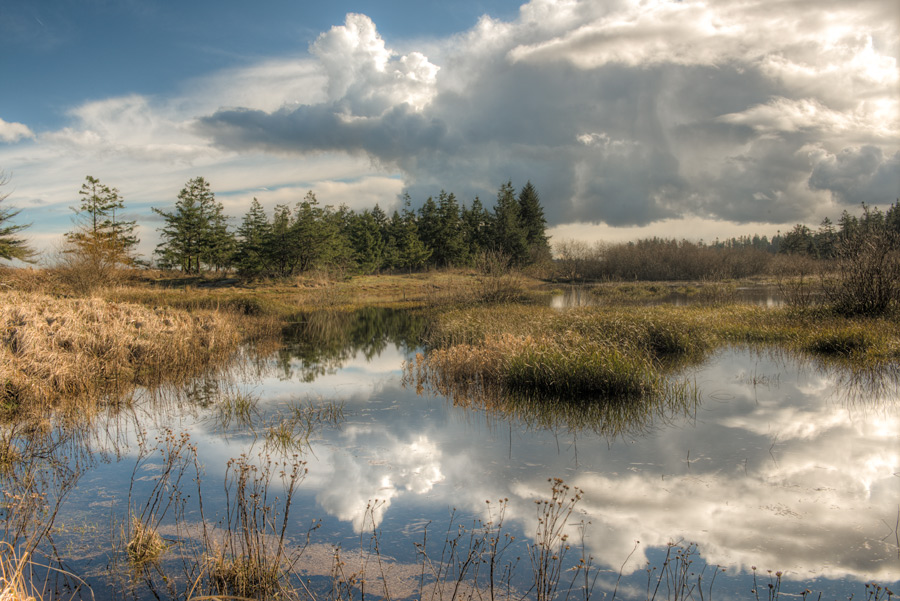
Wetlands at Bear Creek

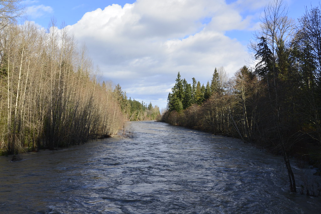
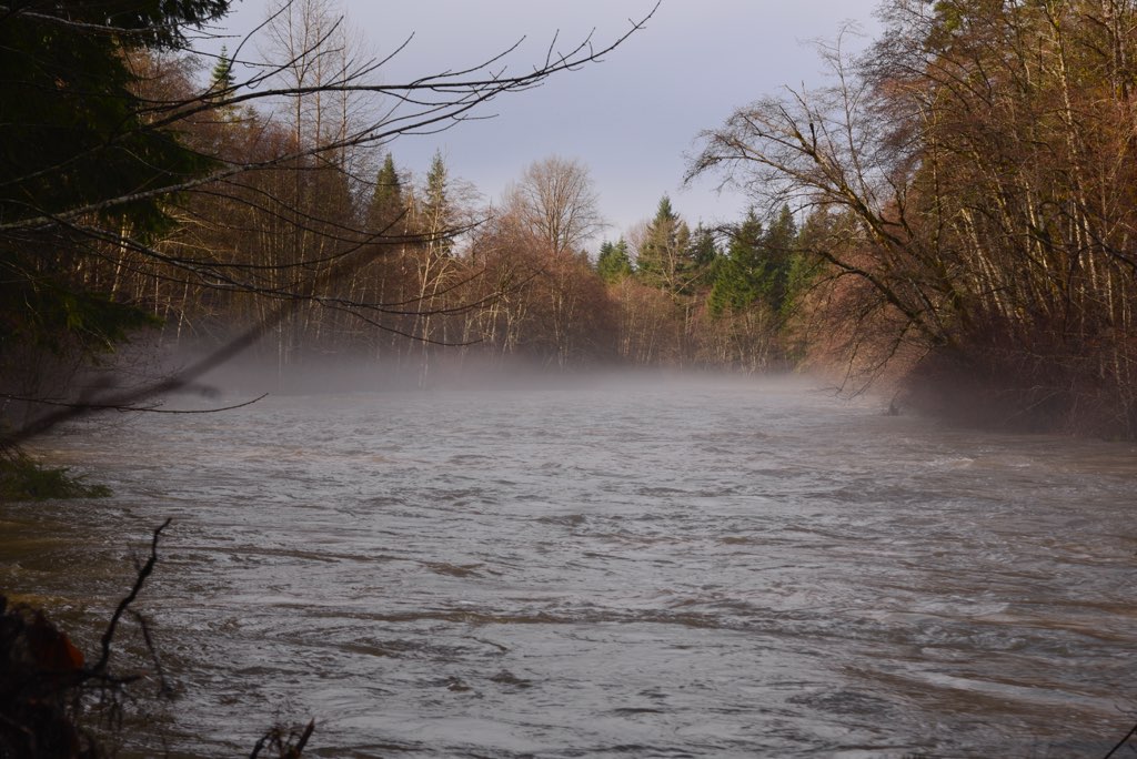
Flooding, Oyster River, Black Creek, BC
Topographic Map of S Island Hwy, Campbell River, BC V9H 1G9, Canada
Find elevation by address:

Places near S Island Hwy, Campbell River, BC V9H 1G9, Canada:
3157 York Rd
3671 S Island Hwy
3300 York Rd
9552 Martin Park Dr
184 Erickson Rd
578 Grayson Rd
2846 Bruce Rd
2846 Bruce Rd
1849 Galerno Rd
437 Candy Ln
325 Niluht Rd
325 Niluht Rd
Niluht Road
Niluht Road
Springbok Road
744 S Alder St
742 Robron Rd
741 Robron Rd
522 S Dogwood St
52 S Thulin St
Recent Searches:
- Elevation of Corso Fratelli Cairoli, 35, Macerata MC, Italy
- Elevation of Tallevast Rd, Sarasota, FL, USA
- Elevation of 4th St E, Sonoma, CA, USA
- Elevation of Black Hollow Rd, Pennsdale, PA, USA
- Elevation of Oakland Ave, Williamsport, PA, USA
- Elevation of Pedrógão Grande, Portugal
- Elevation of Klee Dr, Martinsburg, WV, USA
- Elevation of Via Roma, Pieranica CR, Italy
- Elevation of Tavkvetili Mountain, Georgia
- Elevation of Hartfords Bluff Cir, Mt Pleasant, SC, USA