Elevation of S Front St, Putnam, TX, USA
Location: United States > Texas >
Longitude: -99.193444
Latitude: 32.3703565
Elevation: 491m / 1611feet
Barometric Pressure: 96KPa
Elevation Map:
Satellite Map:
Related Photos:

View through the Stone

Scranton Stone Chimney

Three Nails Ranch

Sensitive Briar

drvfrmOK 117
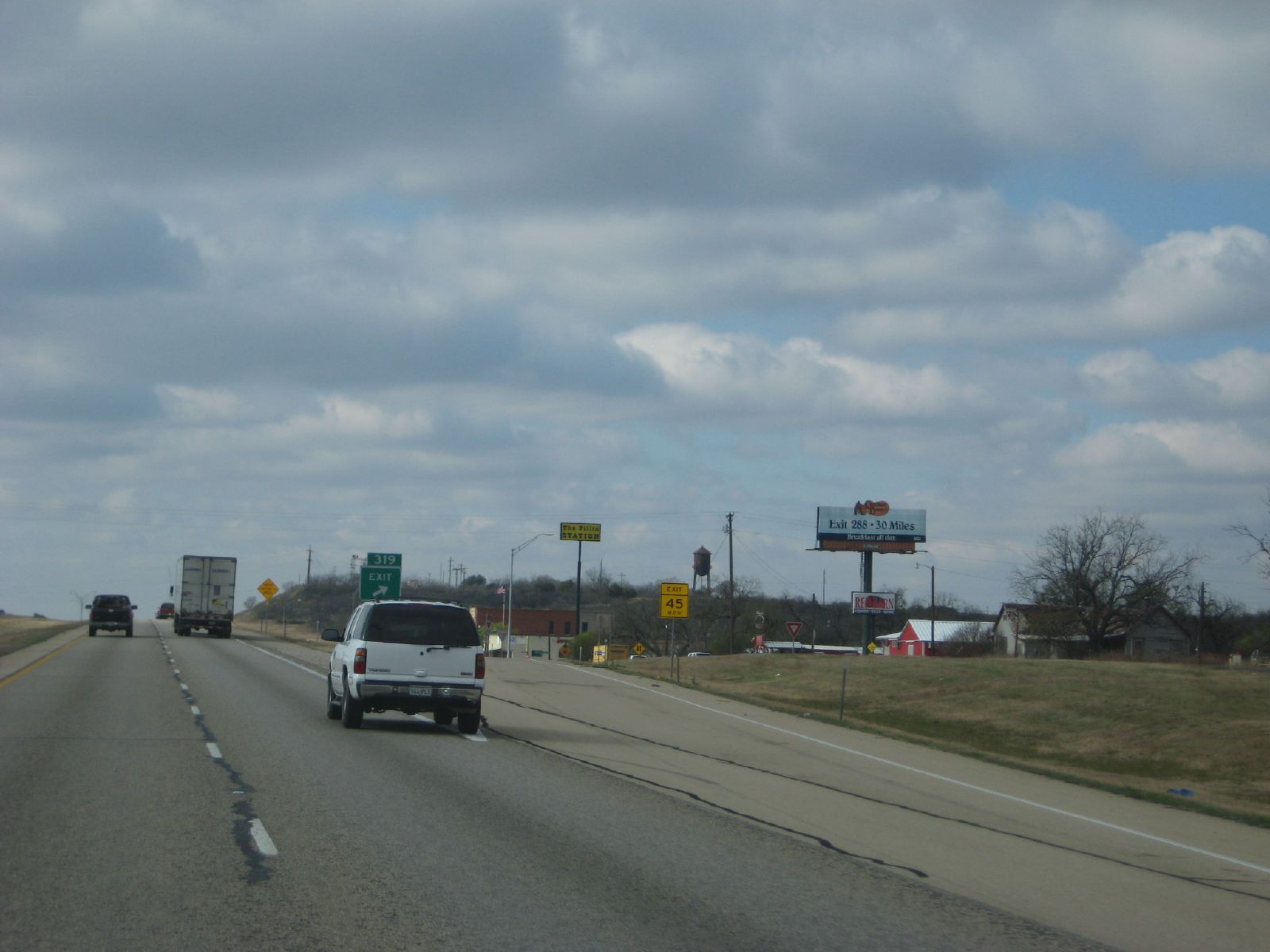
exit 319: putnam, tx
drvfrmOK 119

Good Grazin'

Scranton Springtime

Burst of Color

After the Storm

Community Center & Gym

Yellow Indian Blankets with Reds

Old House in Field

Spring Brings Hope
Topographic Map of S Front St, Putnam, TX, USA
Find elevation by address:

Places near S Front St, Putnam, TX, USA:
818 Co Rd 143
702 Fm 2945
Weber St, Moran, TX, USA
Moran
Baird
Lake Cisco
Cisco
7 Saddle Ridge Dr
8 Saddle Ridge Dr
Clyde
8935 Co Rd 262
Co Rd, Breckenridge, TX, USA
2402 Tx-112
Albany
Eastland
County Road 165
Shackelford County
Elmdale Airpark-82ts
Co Rd, Abilene, TX, USA
8201 I-20
Recent Searches:
- Elevation of Corso Fratelli Cairoli, 35, Macerata MC, Italy
- Elevation of Tallevast Rd, Sarasota, FL, USA
- Elevation of 4th St E, Sonoma, CA, USA
- Elevation of Black Hollow Rd, Pennsdale, PA, USA
- Elevation of Oakland Ave, Williamsport, PA, USA
- Elevation of Pedrógão Grande, Portugal
- Elevation of Klee Dr, Martinsburg, WV, USA
- Elevation of Via Roma, Pieranica CR, Italy
- Elevation of Tavkvetili Mountain, Georgia
- Elevation of Hartfords Bluff Cir, Mt Pleasant, SC, USA