Elevation of S Fenmore Rd, Elsie, MI, USA
Location: United States > Michigan > Saginaw County > Chapin Township >
Longitude: -84.345259
Latitude: 43.128797
Elevation: 215m / 705feet
Barometric Pressure: 99KPa
Elevation Map:
Satellite Map:
Related Photos:

Side View

Night Sky
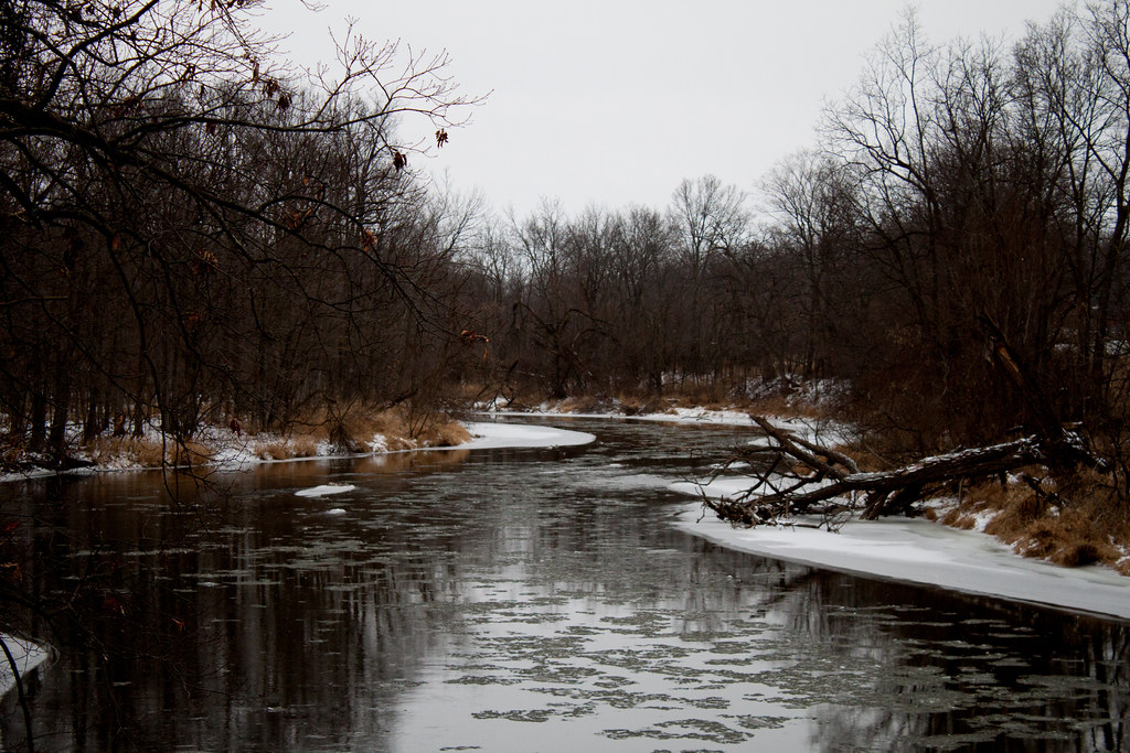
Shiawasee River

Late September Dawn

SUNSET PINES

SCUBA 09
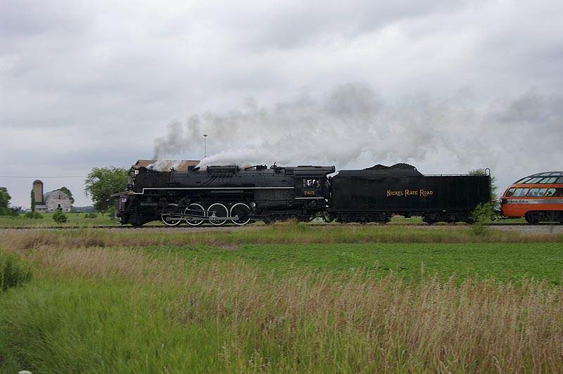
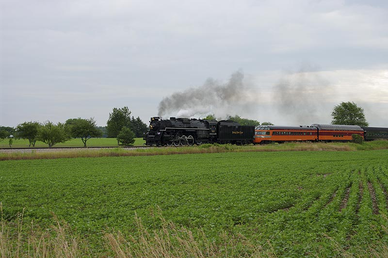
Train Festival - Day 1
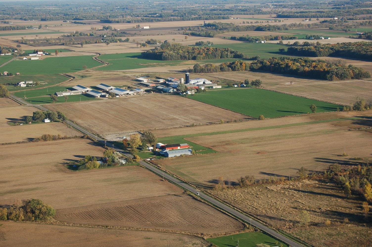
Rural America

SUNNY CRACKLE
Through the Fields
Green's Farm in Elsie, Michigan
Through the Fields

Autum Forrest

BLUE OCEAN
Through the Fields

Electric City

NUDE DANCE

Hell's Fury

BIG CITY NIGHTS
Topographic Map of S Fenmore Rd, Elsie, MI, USA
Find elevation by address:

Places near S Fenmore Rd, Elsie, MI, USA:
Fairfield Township
W Ridge Rd, Henderson, MI, USA
Chapin Township
7844 W Henderson Rd
Ovid
Rush Township
Owosso Charter Township
S Smith Rd, Owosso, MI, USA
Owosso, MI, USA
M-52, Owosso, MI, USA
1200 Ward St
114 S Lansing St
1332 N Water St
Owosso
W Main St, Owosso, MI, USA
Sciota Township
510 Grover St
Chesaning Township
S Hemlock Rd, St Charles, MI, USA
Chesaning
Recent Searches:
- Elevation of Corso Fratelli Cairoli, 35, Macerata MC, Italy
- Elevation of Tallevast Rd, Sarasota, FL, USA
- Elevation of 4th St E, Sonoma, CA, USA
- Elevation of Black Hollow Rd, Pennsdale, PA, USA
- Elevation of Oakland Ave, Williamsport, PA, USA
- Elevation of Pedrógão Grande, Portugal
- Elevation of Klee Dr, Martinsburg, WV, USA
- Elevation of Via Roma, Pieranica CR, Italy
- Elevation of Tavkvetili Mountain, Georgia
- Elevation of Hartfords Bluff Cir, Mt Pleasant, SC, USA