Elevation of S Estes St, Littleton, CO, USA
Longitude: -105.09604
Latitude: 39.5967429
Elevation: 1701m / 5581feet
Barometric Pressure: 82KPa
Elevation Map:
Satellite Map:
Related Photos:

snow harvest

Just Beyond My View

L O V E

some may follow

end of waterton

100 yards

field dreaming

created moments

silent stirring

across the shore of morning

ageless recollections

white barn

garded moment

finding jack

cool running

stand together

boundary lines

evidence of others

treading lightly

a way through
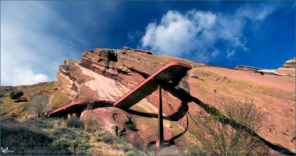
824: Red Rocks Park - South Entrance Way

Icy Reflections

THE HOGBACK BY MORRISON

BEAR CREEK

Daybreak, Red Rocks

BEAR CREEK PARK

REDROCKS AMPHITHEATRE

Dawn of a New Day

Red Rocks Sunrise

After the Blizzard

Just another fall day

Red Rocks Morning

Dawn Breaks at Red Rocks

KENDRICK LAKE GLORY

Sunrise on Ice

Sunrise & Reflection

RedRock-13
Topographic Map of S Estes St, Littleton, CO, USA
Find elevation by address:

Places near S Estes St, Littleton, CO, USA:
6755 S Field St
Stony Creek Condominiums
Columbine West
8271 W Quarto Dr
6026 S Garland Way
8109 W Fremont Ave
7762 W Quarto Dr
7230 W Portland Ave
7735 W Long Dr
Dakota Station
Columbine High School
7700 W Grant Ranch Blvd
Storm Mountain
W Poncha Pass, Littleton, CO, USA
5560 S Miller St
Ken Caryl
9656 W Friend Pl
6979 S Newland St
8801 W Belleview Ave
Columbine
Recent Searches:
- Elevation of Corso Fratelli Cairoli, 35, Macerata MC, Italy
- Elevation of Tallevast Rd, Sarasota, FL, USA
- Elevation of 4th St E, Sonoma, CA, USA
- Elevation of Black Hollow Rd, Pennsdale, PA, USA
- Elevation of Oakland Ave, Williamsport, PA, USA
- Elevation of Pedrógão Grande, Portugal
- Elevation of Klee Dr, Martinsburg, WV, USA
- Elevation of Via Roma, Pieranica CR, Italy
- Elevation of Tavkvetili Mountain, Georgia
- Elevation of Hartfords Bluff Cir, Mt Pleasant, SC, USA