Elevation of S Cottonwood Dr, Goldsboro, NC, USA
Location: United States > North Carolina > Wayne County > Stoney Creek >
Longitude: -77.966568
Latitude: 35.430653
Elevation: 38m / 125feet
Barometric Pressure: 101KPa
Elevation Map:
Satellite Map:
Related Photos:

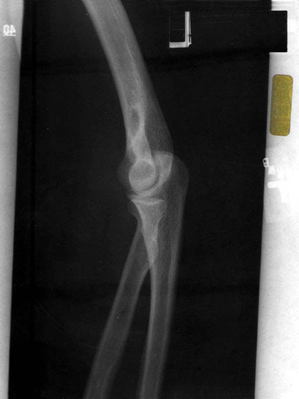
X-ray 3
X-ray 4

Laurel's soy-milk box helmet

Branch in front yard
1571 Goldsboro Img_19724

Time to Fly!!

Rainbow center
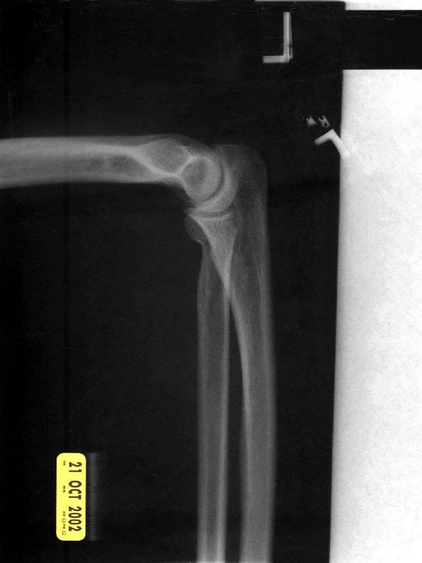
X-ray 2
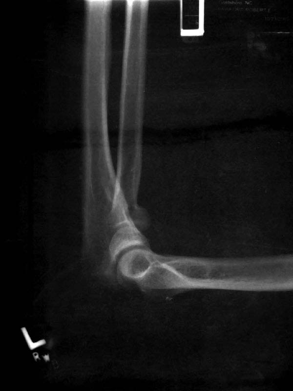
X-ray 1
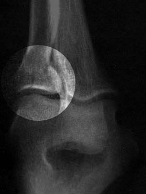
X-ray 3, highlighted

Willow Dale Cemetery

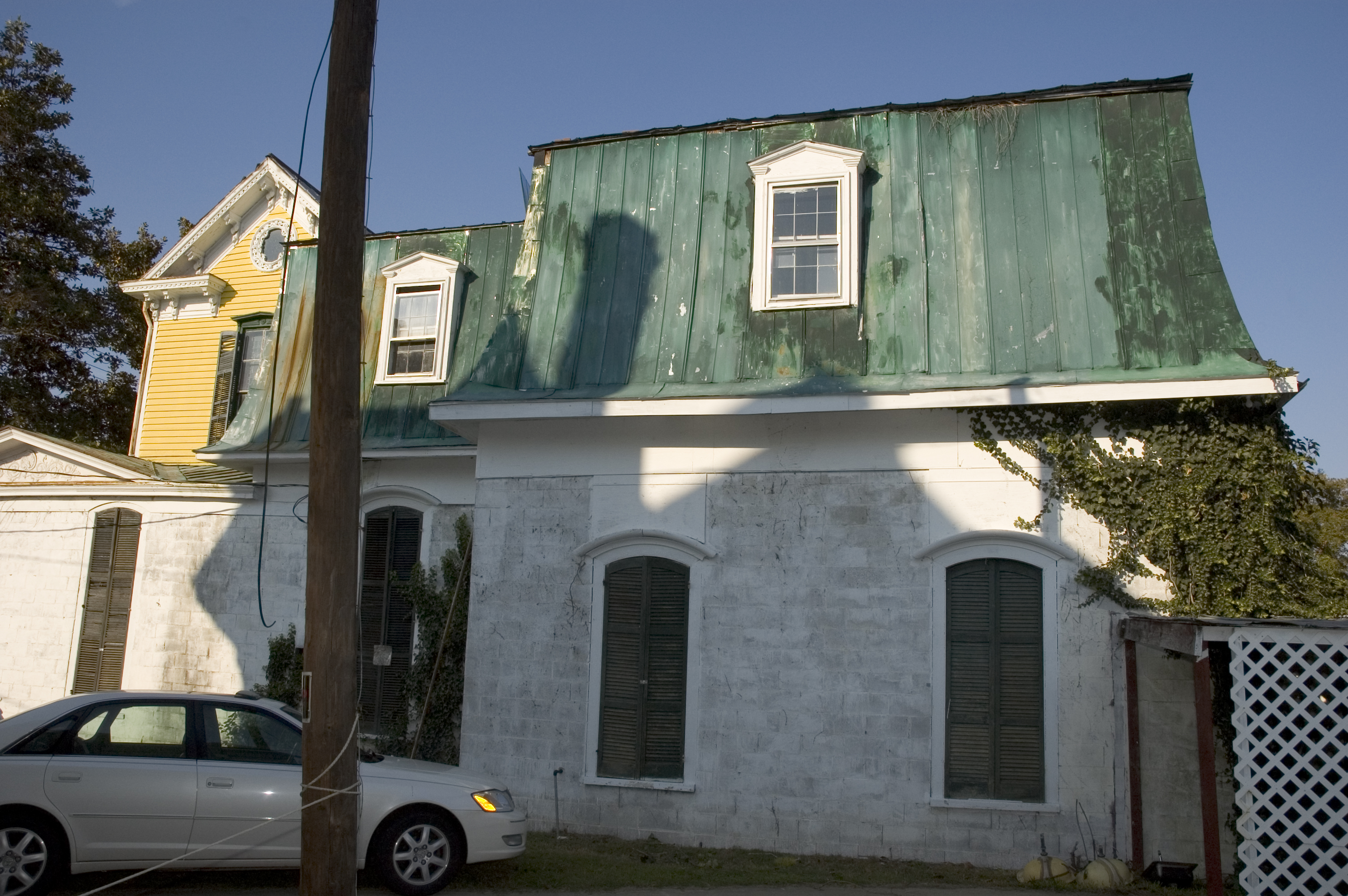
A dormer with a view.
right side view
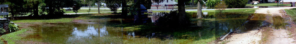
A panoramic view of the flooded front yard
Topographic Map of S Cottonwood Dr, Goldsboro, NC, USA
Find elevation by address:

Places near S Cottonwood Dr, Goldsboro, NC, USA:
Stoney Creek
219 King's Way
Belfast Rd, Goldsboro, NC, USA
Spring St, Goldsboro, NC, USA
206 Commonsgate Dr
206 Commonsgate Dr
2300 Old Mill Pl
North William Street
100 Helms Ct
1201 Crisp St
200 E April Ln
119 Adler Ln
515 2nd St
604 Chafin Rd
1000 W Guilford St
Goldsboro
107 E Doe Trail
302 Clay Brook Dr
414 N Jackson St
Bojangles' Famous Chicken 'n Biscuits
Recent Searches:
- Elevation of Corso Fratelli Cairoli, 35, Macerata MC, Italy
- Elevation of Tallevast Rd, Sarasota, FL, USA
- Elevation of 4th St E, Sonoma, CA, USA
- Elevation of Black Hollow Rd, Pennsdale, PA, USA
- Elevation of Oakland Ave, Williamsport, PA, USA
- Elevation of Pedrógão Grande, Portugal
- Elevation of Klee Dr, Martinsburg, WV, USA
- Elevation of Via Roma, Pieranica CR, Italy
- Elevation of Tavkvetili Mountain, Georgia
- Elevation of Hartfords Bluff Cir, Mt Pleasant, SC, USA