Elevation of S Co Rd W, Westport, IN, USA
Location: United States > Indiana > Decatur County > Jackson Township >
Longitude: -85.6787049
Latitude: 39.160458
Elevation: 233m / 764feet
Barometric Pressure: 0KPa
Related Photos:
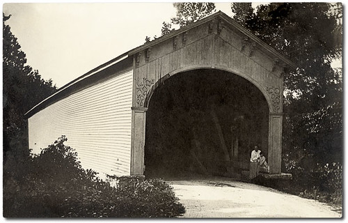
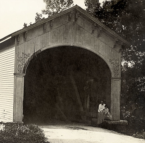
A Window In Time
Bottom Of The Hill

jr high 2008_0701

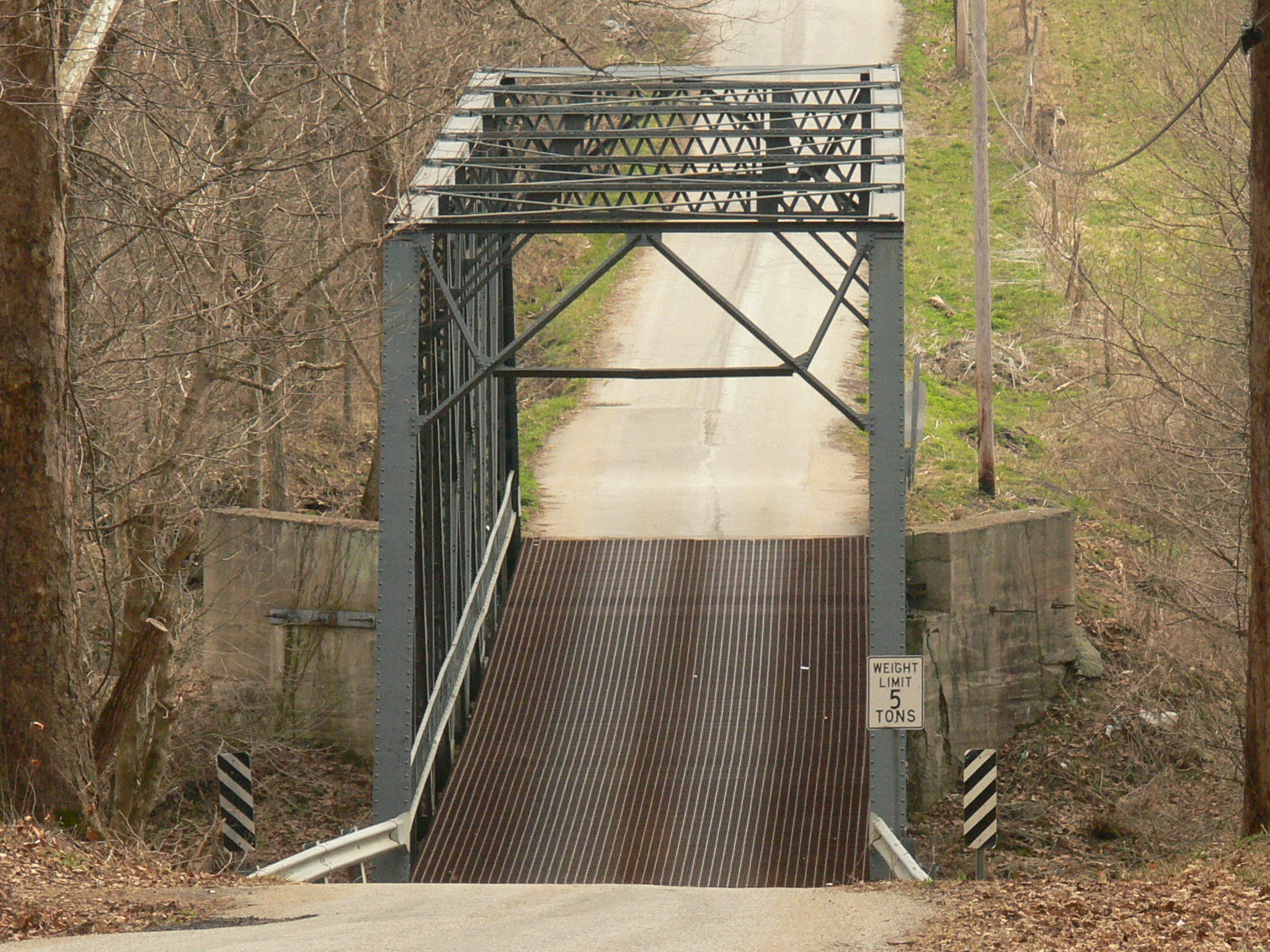
Are you going up?
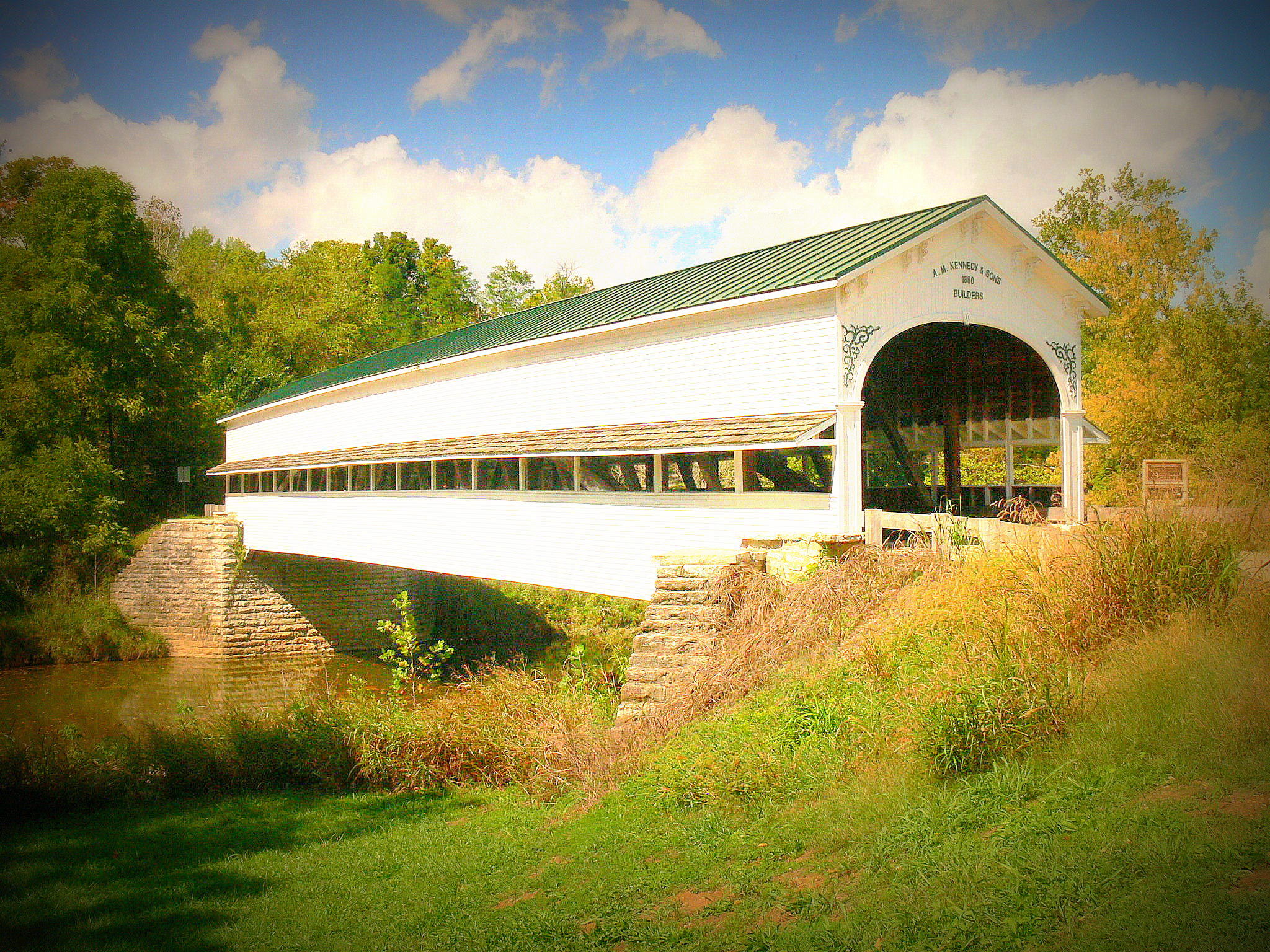
Covered bridge, Westport, Indiana
Covered bridge, Westport, Indiana

Cut In Half

My view of the world

Oldenburg, Indiana, USA

Anderson Falls

Golden Field

Anderson Falls

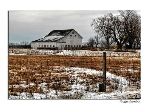
Winter Farm

093.JPG

Cloudy Day

056.JPG
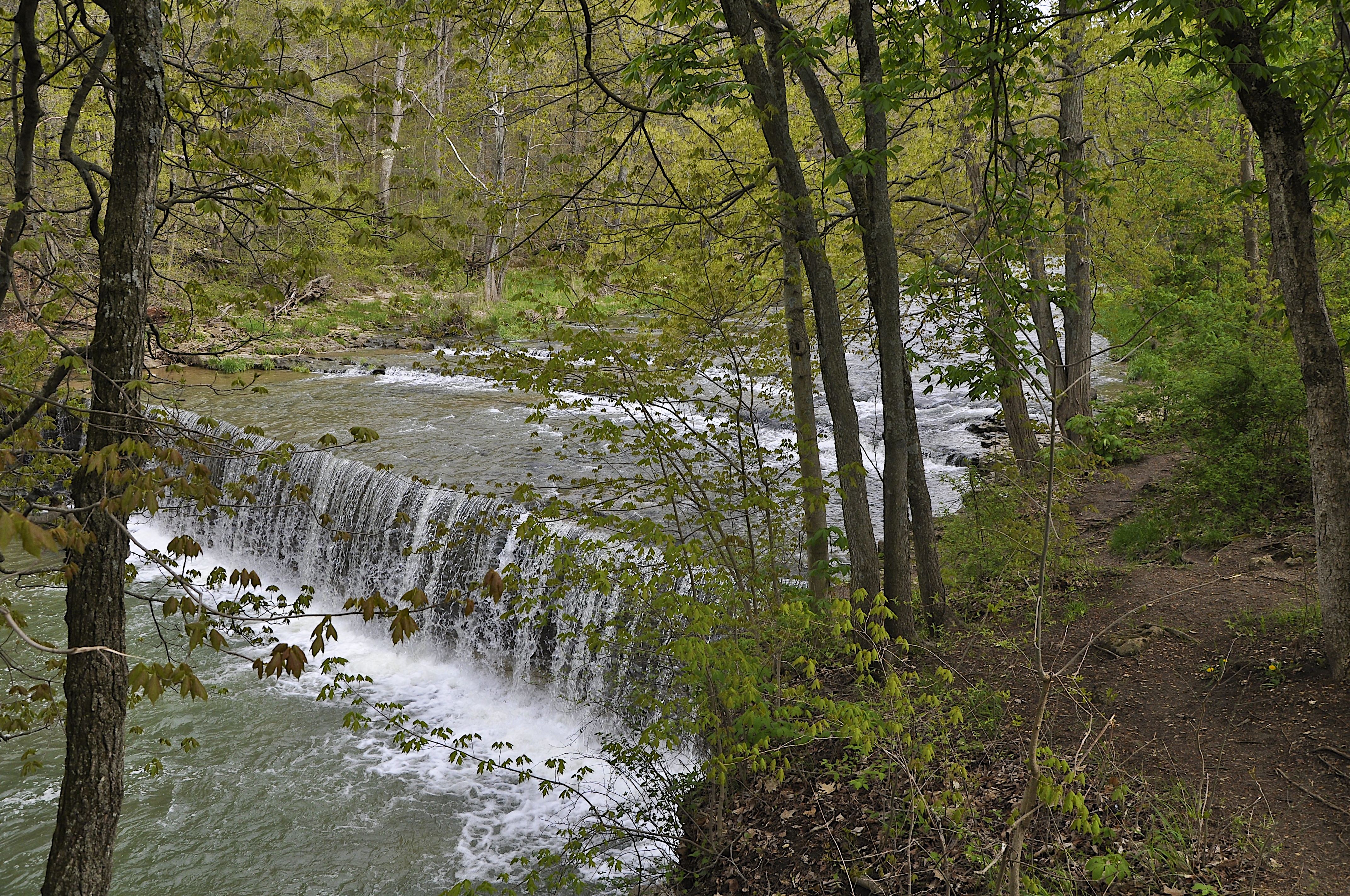
Anderson Falls
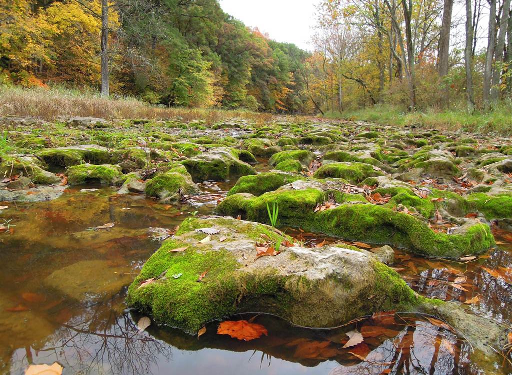
Mossy Rocks

082.JPG

Location Scouting

081.JPG

066.JPG

Family at Ceraland
Anderson Falls
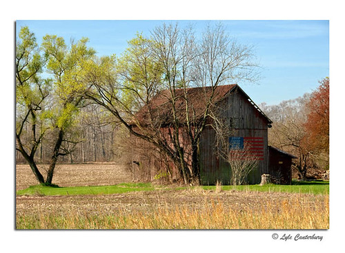
Patriotic Barn

Anderson Falls

Family at Ceraland

IMG_9881_edited-2

Yesterday's Fog
Winter Scene
Topographic Map of S Co Rd W, Westport, IN, USA
Find elevation by address:

Places near S Co Rd W, Westport, IN, USA:
Jackson Township
IN-3, Westport, IN, USA
Geneva Township
Sand Creek Township
IN-7, Scipio, IN, USA
Scipio
Clifty Township
E S, Elizabethtown, IN, USA
Market St, North Vernon, IN, USA
IN-46, Columbus, IN, USA
Westport
S Co Rd W, Greensburg, IN, USA
IN-3, Greensburg, IN, USA
S Co Rd W, Westport, IN, USA
Center Township
Sandcreek Township
Sandcreek Township
Sandcreek Township
Sandcreek Township
Sandcreek Township
Recent Searches:
- Elevation of 8, Rue de Bécancour, Blainville, Thérèse-De Blainville, Quebec, J7B1N2, Canada
- Elevation of Wilmot Court North, 163, University Avenue West, Northdale, Waterloo, Region of Waterloo, Ontario, N2L6B6, Canada
- Elevation map of Panamá Province, Panama
- Elevation of Balboa, Panamá Province, Panama
- Elevation of San Miguel, Balboa, Panamá Province, Panama
- Elevation of Isla Gibraleón, San Miguel, Balboa, Panamá Province, Panama
- Elevation of 4655, Krischke Road, Schulenburg, Fayette County, Texas, 78956, USA
- Elevation of Carnegie Avenue, Downtown Cleveland, Cleveland, Cuyahoga County, Ohio, 44115, USA
- Elevation of Walhonding, Coshocton County, Ohio, USA
- Elevation of Clifton Down, Clifton, Bristol, City of Bristol, England, BS8 3HU, United Kingdom
- Elevation map of Auvergne-Rhône-Alpes, France
- Elevation map of Upper Savoy, Auvergne-Rhône-Alpes, France
- Elevation of Chamonix-Mont-Blanc, Upper Savoy, Auvergne-Rhône-Alpes, France
- Elevation of 908, Northwood Drive, Bridge Field, Chesapeake, Virginia, 23322, USA
- Elevation map of Nagano Prefecture, Japan
- Elevation of 587, Bascule Drive, Oakdale, Stanislaus County, California, 95361, USA
- Elevation of Stadion Wankdorf, Sempachstrasse, Breitfeld, Bern, Bern-Mittelland administrative district, Bern, 3014, Switzerland
- Elevation of Z024, 76, Emil-von-Behring-Straße, Marbach, Marburg, Landkreis Marburg-Biedenkopf, Hesse, 35041, Germany
- Elevation of Gaskill Road, Hunts Cross, Liverpool, England, L24 9PH, United Kingdom
- Elevation of Speke, Liverpool, England, L24 9HD, United Kingdom