Elevation of S Cass St, Middletown, DE, USA
Location: United States > Delaware > New Castle County > Middletown >

Longitude: -75.718840

Latitude: 39.4478551

Elevation: 21m / 69feet

Barometric Pressure: 101KPa

Elevation Map:

elevation map of S Cass St, Middletown, DE, USA

Satellite Map:

Satellite map of S Cass St, Middletown, DE, USA

Related Photos:

longexposure nightphotography lighthouse nature silhouette lighthouses silhouettes walldecor naturephotography rearrange walldecoration beautifullandscapes naturephotographer landscapephotos canvasprints photosoncanvas naturefineart delawarephotographer printsoncanvas lighthouseindelaware naturephotographerdelaware reedypointlighthouse reedypointrearrange
Reedy Point Rear Lighthouse Silhouette
aerial aerialview americanairlines americaneagle blackbird businesstrip compact delaware houstontophiladelphia lumix northeast united unitedairlines windowseat zeesstof
Traveling Companions
aerial aerialview americanairlines americaneagle blackbird businesstrip compact delaware houstontophiladelphia lumix northeast united unitedairlines windowseat zeesstof
An Eagle Over Blackbird
road street usa vanishingpoint covered streetview flooded submersed explored bej newcastlecounty silverrunroad thomaslanding
Submersion Diversion
sky nature clouds landscape delaware sunrays hdr photomatix photomatixpro abigfave dnrec augustinewildlifearea delawaredivisionofnaturalresources delawaredivisionoffishandwildlife
Clouds of light
road bridge usa driving crossing maryland span stormysky streetview chesapeakecity verticalliftspan
Chesapeake City Bridge
usa de mainstreet pickuptruck americana delaware middletown cityview efs1855 smalltownamerica canoneos1100d
Small town America
art boats photography fineart canoe walldecor lumspond walldecoration delawarephotographer photographersindelaware
Beached Canoes
aerial aerialview businesstrip compact electricitystation generatingplant hopecreekgeneratingstation houstontophiladelphia lumix newjersey northeast united unitedairlines windowseat zeesstof
Hope Creek Generating Station, NJ [EXPLORED April 21st, 2017, highest position #307]
square squareformat amaro iphoneography instagramapp uploaded:by=instagram foursquare:venue=4d85284a509137048b6e905b
Beach with a view
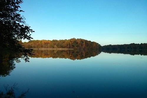
autumn trees sky lake color reflection tree fall water leaves rural reflections happy photography scenery colorful artist view place country scenic odessa calm delaware roads middletown backroads countryroad paintography viewed countryroads greylag brushstroke byways serence rockymtns99 shallcross shallcrosslake
Shallcross Lake
bear de lumspondstatepark
Lake view
Panoramic view from the observation deck at Augustine Wildlife Area - Ashton Tract, New Castle county, DE
unitedstates delaware lumspond littlejersey
Lum's Pond Hike
View-50_Valencik_DNERR
longexposure carnival summer de lights fair pharaoh delaware middletown pirateshipride stjosephparishcarnival
St. Joseph Parish Carnival
bear de lumspondstatepark
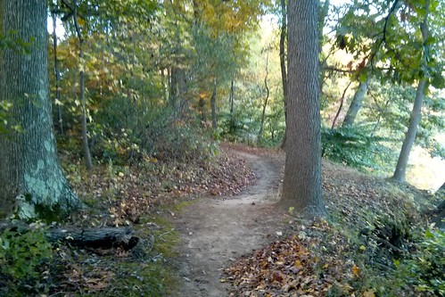
Trail view
unitedstates delaware lumspond littlejersey
Lum's Pond View
church geotagged university catholic maryland georgetown easternshore historic mission xavier jesuit georgetownuniversity delmarva
St. Francis Xavier Mission, 1704
md chesapeakecity
C&D Canal view
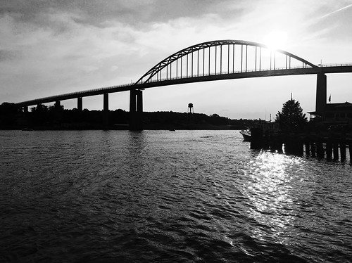
cdcanal chesapeakecitybridge chesapeakecity delawarecanal blackwhite sunset delaware bridge
Chesapeake City Bridge
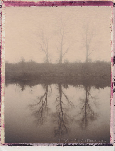
trees water fog landscape delaware polaroid250 polaroichocolate
choc-fog-bear-06
bear trees field grass fog landscape polaroid deer delaware polaroid250 polaroidchocolate
choc-fog-bear-01
trees field barn landscape polaroid chocolate grasses mccoy mccoyroad
mccoy-polaroid-27
sunset day cloudy stgeorges chesapeakeanddelawarecanal
Sunset @ the Chesapeake and Delaware Canal
bird canon 7d northernmockingbird delaware mimuspolyglottos avian 700mm specanimal dnrec avianexcellence eos7d mockigbird augustinewildlifearea hg~sb ef500mmf4isl delawaredivisionofnaturalresources delawaredivisionoffishandwildlife
Northern Mockingbird
sunset clouds sunrise delaware sunrises storms rainclouds cloudsstormssunsetssunrises
Cool sunset
de geotagged centralpencader geo:lat=39546667 geo:lon=75733767
amdump-4
md chesapeakecity
C&D Canal view
summer tworivers digitalcameraclub johnslens hipstamatic bigupfilm
Doing OK
red sky fall water photoshop canon landscape 50mm warm mask fallcolors handheld layers sunbeams lightroom godbeams ef50f18ii lumspondstatepark labcolorspace eos550d rebelt2i
God Beams
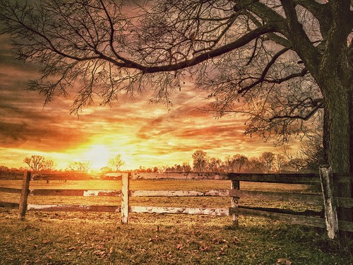
sky tree clouds fence landscape farm delaware hdr iphone horsefarm iphoneography iphone4s
Last Light in Winter
Earleville farm
dwchumby
Sunset over Chesapeake City
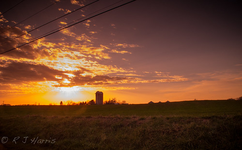
usa canon delaware g12
Sundown Over The Silos...
england castle warwick
Warwick Castle