Elevation of S Bullocktown Rd, Boonville, IN, USA
Location: United States > Indiana > Warrick County > Boon Township > Boonville >
Longitude: -87.223102
Latitude: 37.974679
Elevation: 118m / 387feet
Barometric Pressure: 100KPa
Elevation Map:
Satellite Map:
Related Photos:

It's fall

Nice view
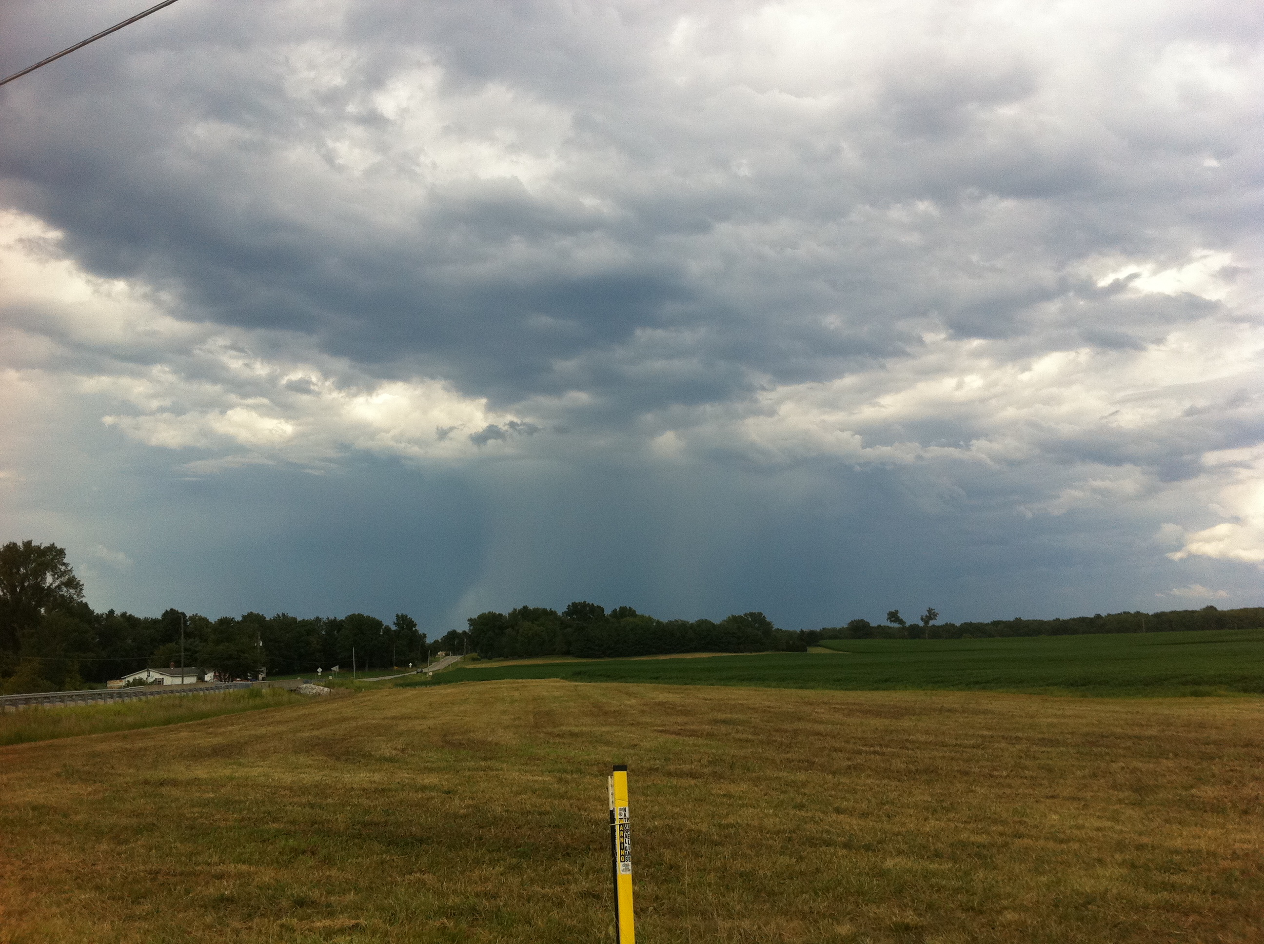
Deluge from a distance
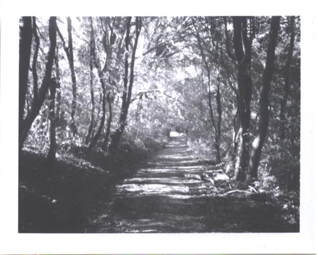
the beaten path

Indiana.
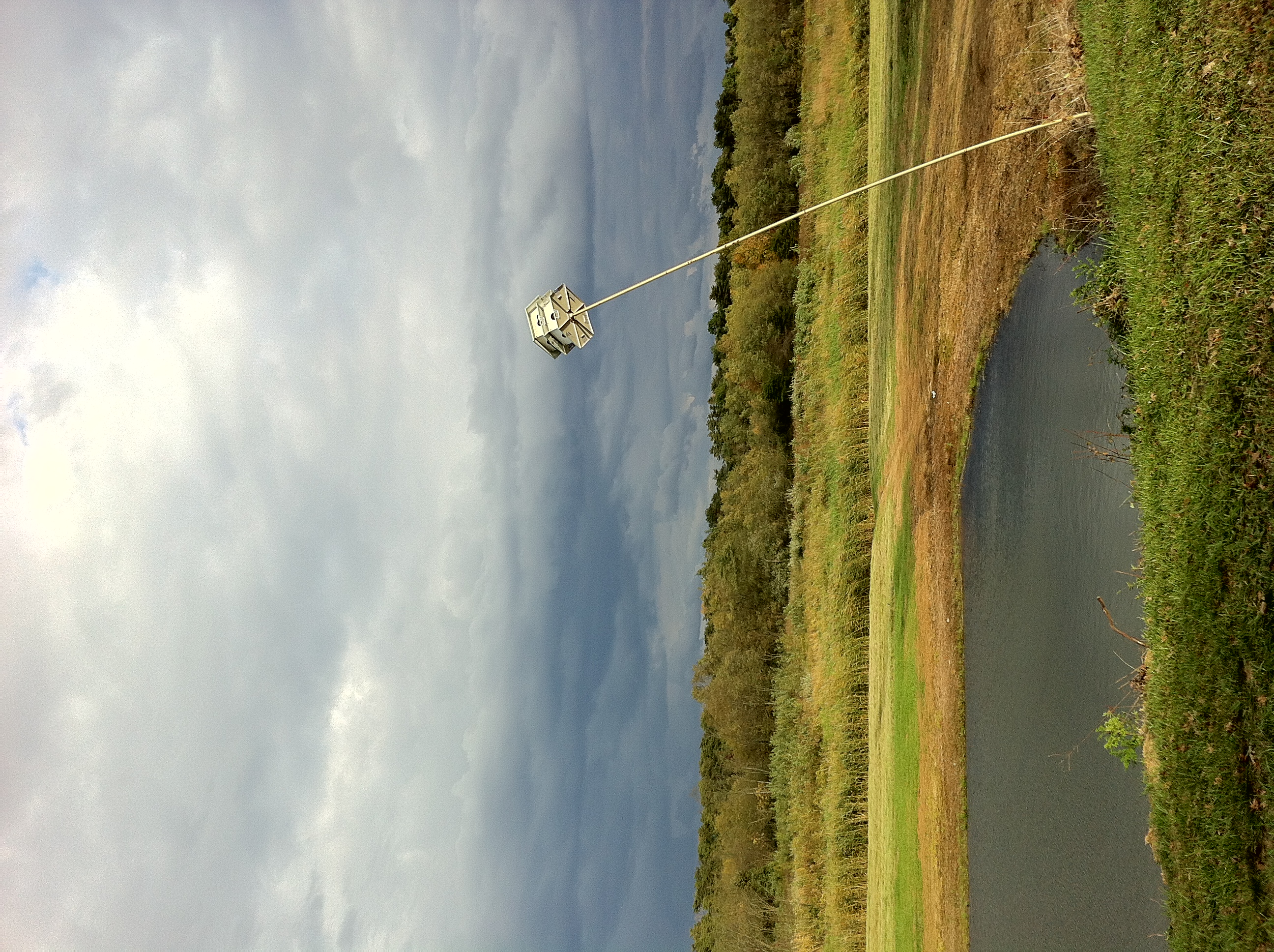
Little Breezy

Aurda's Landscape
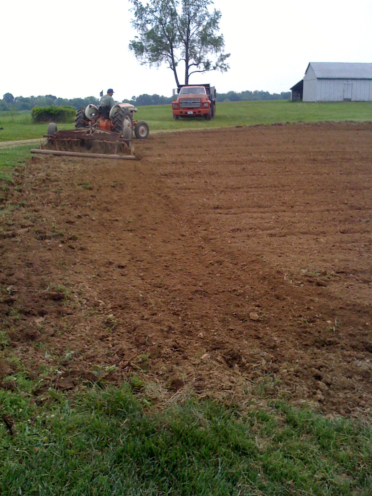
Disc-ing the garden instead of using the tiller

Take me to the river #talkingheads #takemetotheriver #river #ohioriver #newburgh #indiana #discoverindiana #exploregeorgia #america #sunset #sky #skyporn #vsco #vscocam #vscogrid

Splendid!
Topographic Map of S Bullocktown Rd, Boonville, IN, USA
Find elevation by address:

Places near S Bullocktown Rd, Boonville, IN, USA:
1266 W New Hope Rd
1733 W Maple Grove Rd
Boonville
1 County Square, Boonville, IN, USA
701 W Locust St
Boon Township
1888 N State Rte 61
705 N Cypress
2699 In-62
2866 E Tennyson Rd
Warrick County
4155 Eby Rd
200 Mourning Dove Ln
5200 N Folsomville Rd
IN-, Newburgh, IN, USA
Chandler
7455 Tyring Dr
8066 N Birch Dr
Ohio Township
Outer Lincoln Avenue
Recent Searches:
- Elevation of Corso Fratelli Cairoli, 35, Macerata MC, Italy
- Elevation of Tallevast Rd, Sarasota, FL, USA
- Elevation of 4th St E, Sonoma, CA, USA
- Elevation of Black Hollow Rd, Pennsdale, PA, USA
- Elevation of Oakland Ave, Williamsport, PA, USA
- Elevation of Pedrógão Grande, Portugal
- Elevation of Klee Dr, Martinsburg, WV, USA
- Elevation of Via Roma, Pieranica CR, Italy
- Elevation of Tavkvetili Mountain, Georgia
- Elevation of Hartfords Bluff Cir, Mt Pleasant, SC, USA